Trail Overview
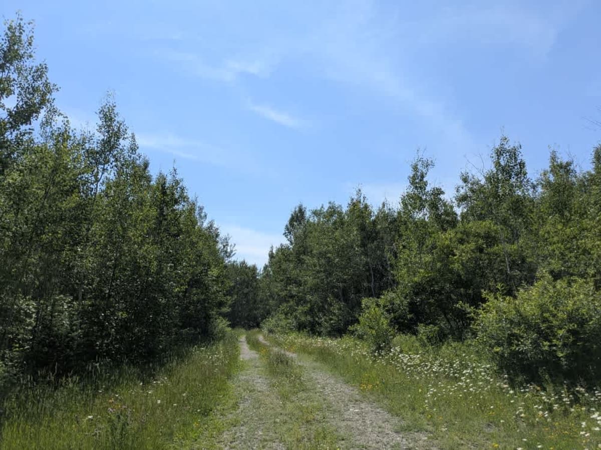
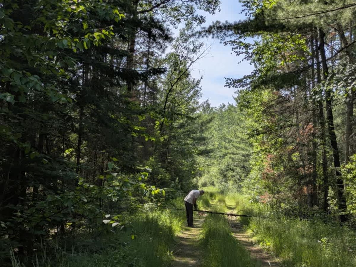
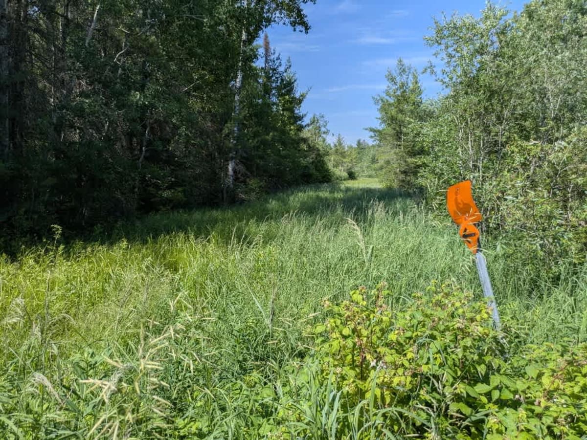
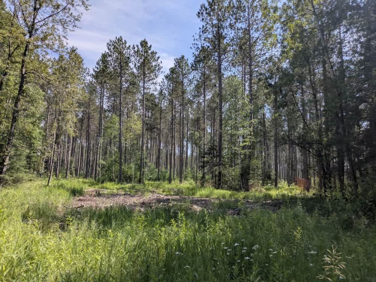
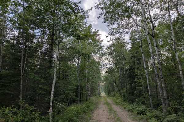
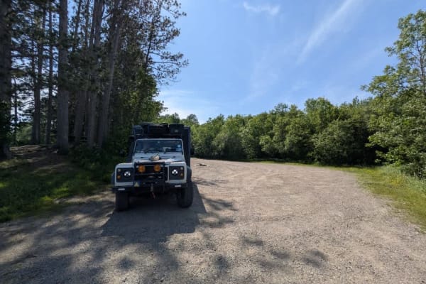
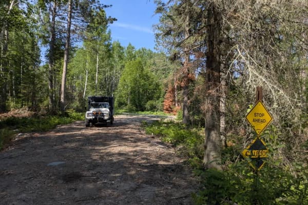
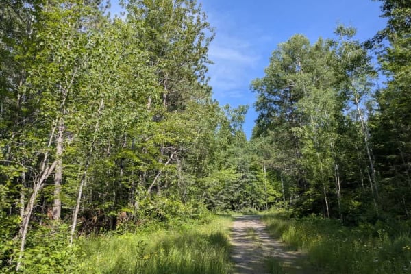
This trail is accessed from Mooseline Road and begins as a relatively smooth drive, passing through several old logging clearings. As the trail progresses, it narrows in places and becomes noticeably rougher, with rocky and uneven sections that require slow and careful driving. Along the way, we encountered several fallen trees, some of which required clearing by hand or with tools. The trail eventually descends to a small, scenic lake. Near the lake, the trail remains firm, with a rocky base and only minimal mud, making it manageable even in damp conditions. While there is no formal boat launch, the area includes a few clearings and turnaround spots before and after the lake. Beyond this point, the trail becomes heavily overgrown and is not recommended for further travel. A snowmobile trail merges with the main track about a quarter of the way in. While there are no official camping facilities, dispersed camping is generally allowed in the Superior National Forest, provided it is outside the Boundary Waters Canoe Area Wilderness. Before camping, confirm local regulations and any seasonal fire restrictions with the local Forest Service office. Campers should be self-sufficient and follow Leave No Trace principles, ensuring they set up at appropriate distances from both water sources and roadways. The remote and undeveloped nature of this trail makes it best suited for prepared travelers in capable vehicles.
History
Superior National Forest was established in 1909 by President Theodore Roosevelt to protect the region's watersheds and natural resources after years of heavy logging and mining. The area has long been home to the Ojibwe people, who continue to maintain cultural ties to the land. In 1978, the Boundary Waters Canoe Area Wilderness within the forest was given added protection, making it one of the most visited wilderness areas in the U.S. today.