Trail Overview
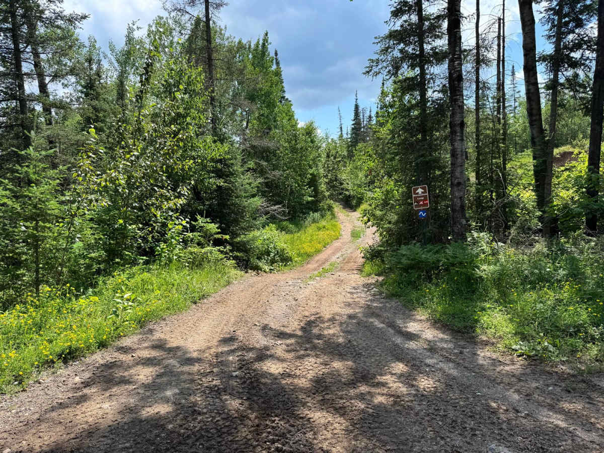
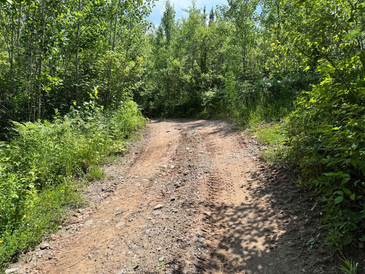
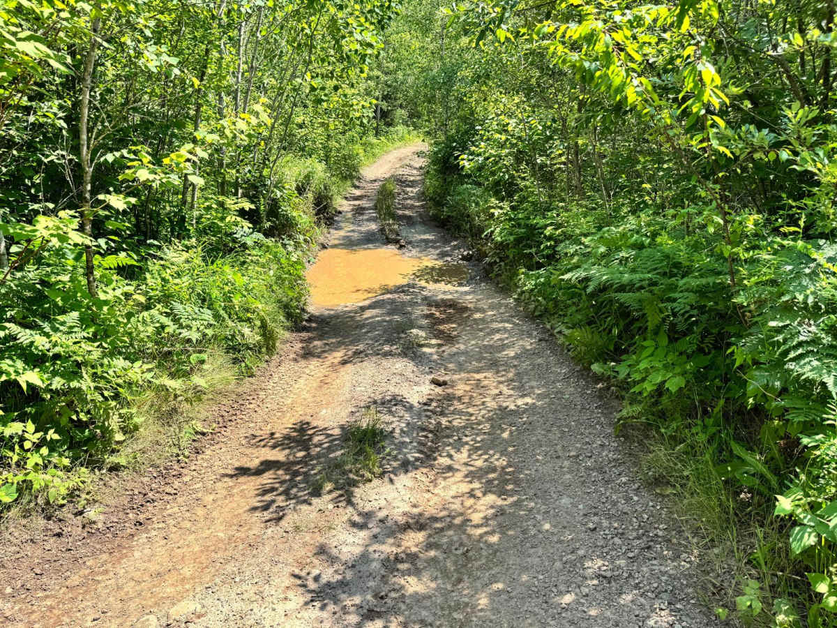
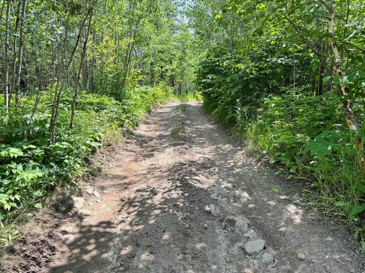
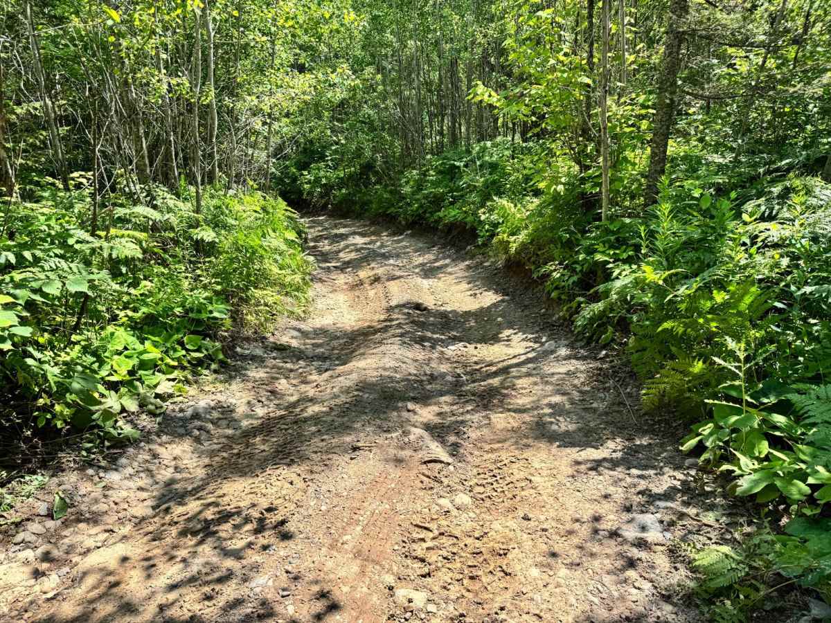
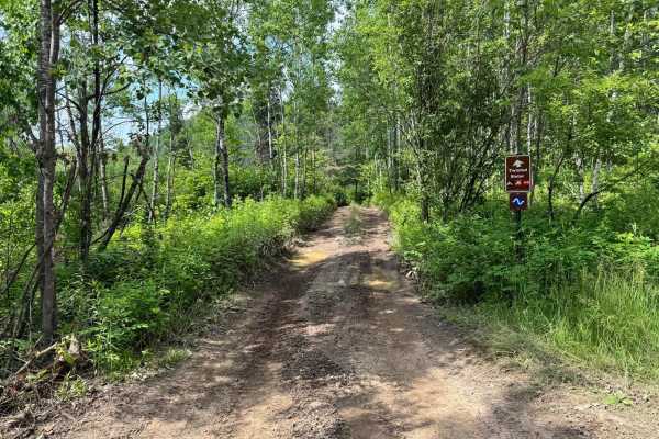
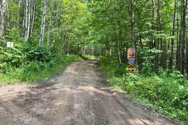
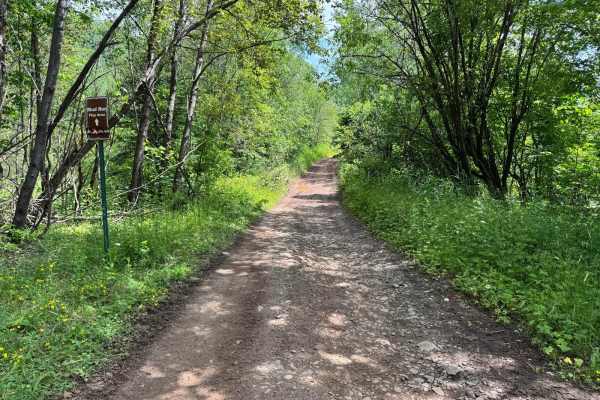
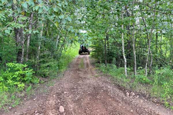
This trail is a designated one-way route, so be sure to watch for signage and enter from the correct direction. It weaves through wooded terrain and features several mud holes, some of which can reach depths of up to three feet, especially after recent rainfall. Fortunately, most of the deeper mud holes have established bypasses, allowing drivers to avoid the worst of the water if desired. There are a few tight sections with overgrowth that could result in pinstriping for wider rigs. While the mud and vegetation provide some challenge, there are no major rock obstacles or technical features, making it accessible for most capable off-road vehicles.
Difficulty
Tight turns, overgrowth, and deep mud holes--some up to three feet--make this trail challenging in spots. Most deep sections have bypasses. No major rock obstacles, but traction and visibility can be tricky. One-way direction adds structure.
History
The Iron Range OHV Recreation Area was built on reclaimed mining land, once part of the rich Mesabi Iron Range that fueled U.S. steel production for over a century. Today, this 1,200+ acre site blends industrial history with outdoor adventure, offering a rare chance to ride through the remnants of Minnesota's mining legacy.

 Offroad