Trail Overview
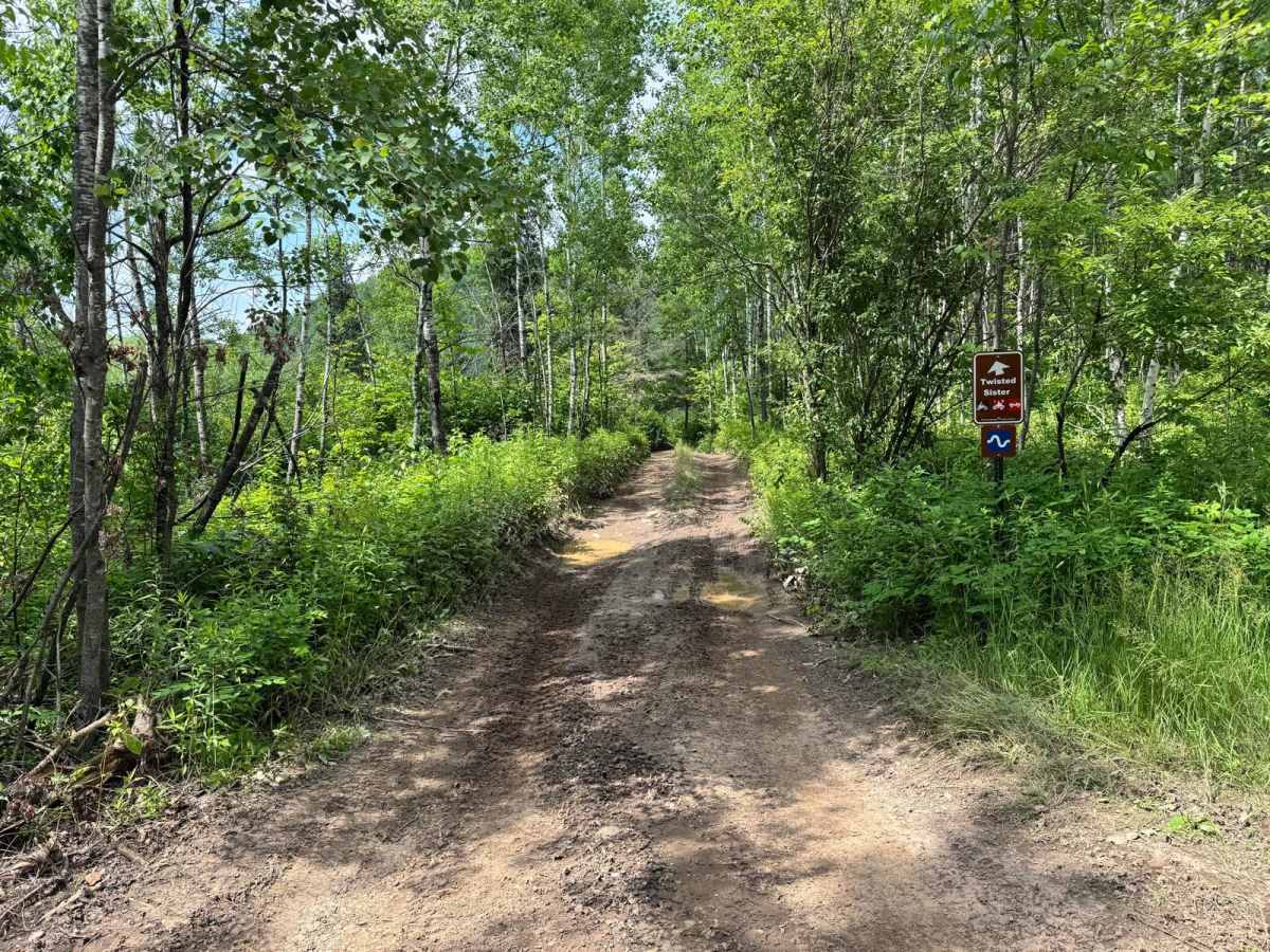
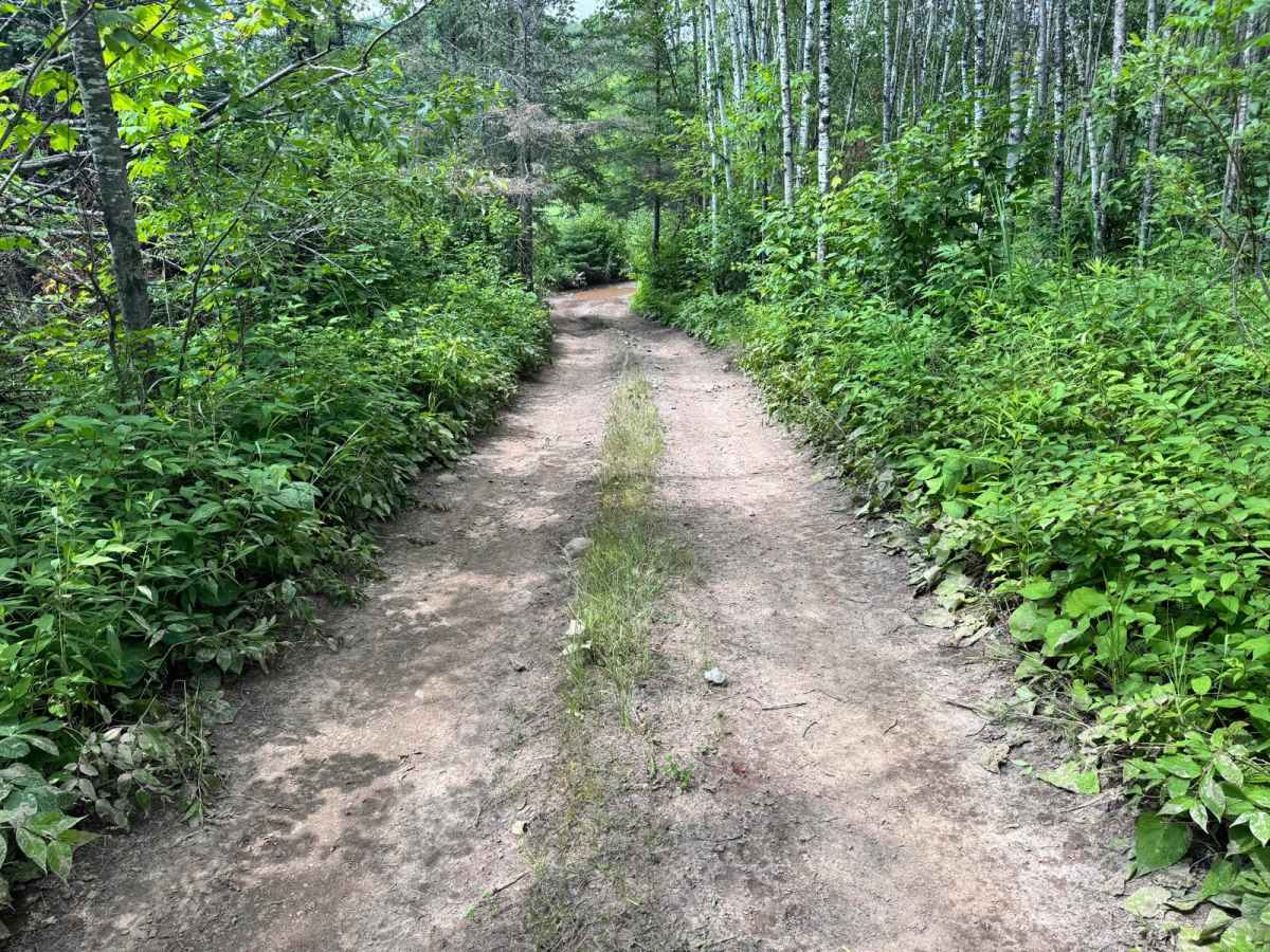
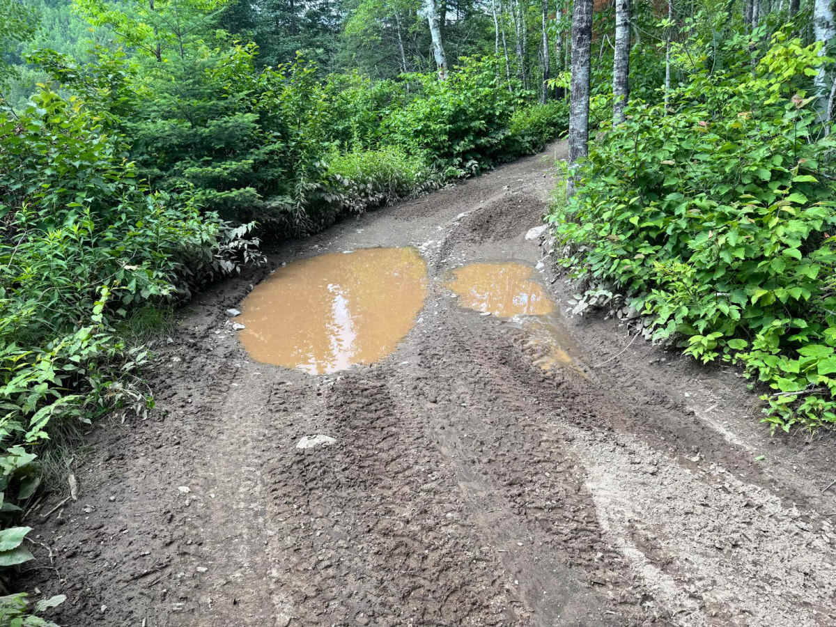
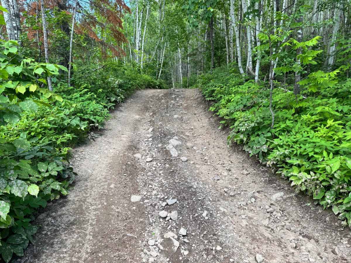
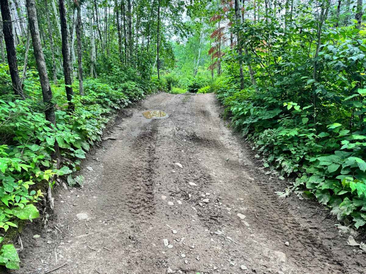
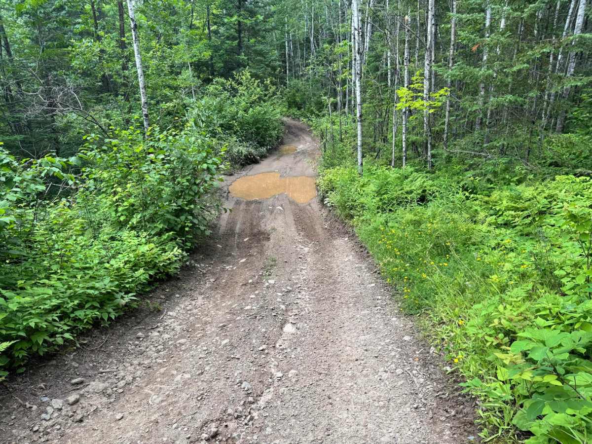
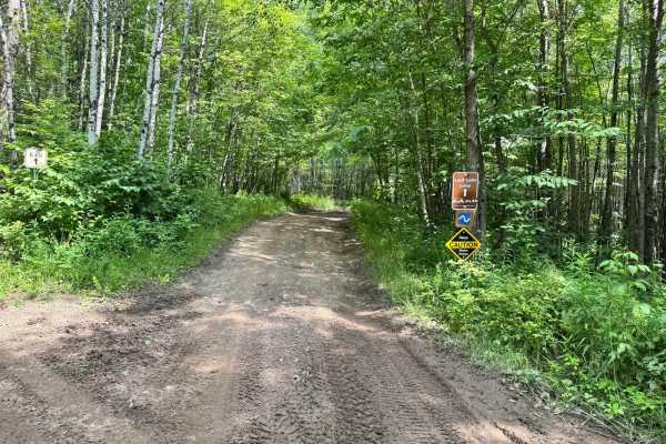
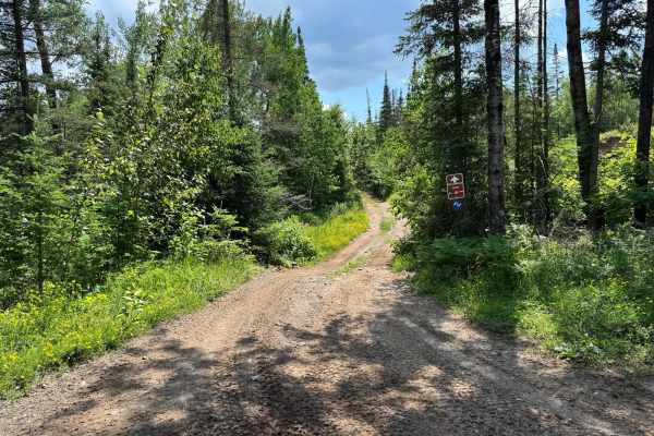
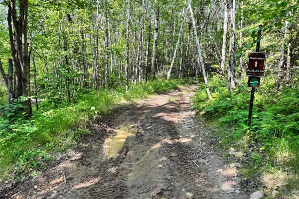
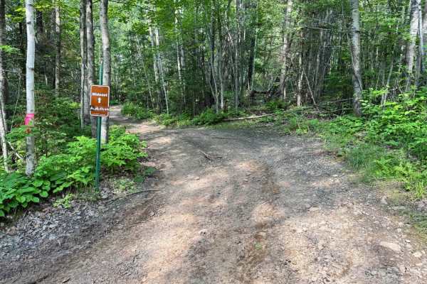
This trail winds through a heavily wooded area, providing a scenic ride but also presenting several challenges. It features a mostly dirt base with small hill sections that can high-center stock or low-clearance vehicles, especially when wet. After rainfall, expect mud puddles to form throughout the trail, which can create slick conditions and increase the likelihood of losing traction--particularly for rigs without aggressive tires or sufficient clearance. Overgrowth along the trail edges means pinstriping is likely, and the tight turns require careful maneuvering to avoid body damage. While there are no large rock obstacles, the narrow path and terrain changes demand driver attention and vehicle readiness.
Difficulty
While this trail lacks major rock obstacles, it presents challenges like tight tree-lined paths, small hills, and potential mud after rainfall. Low-clearance vehicles may struggle with traction and risk high-centering in spots. Overgrowth and sharp turns make it important to watch for pinstriping and avoid body damage.
History
* Camp at Sherwood Forest Campground in Gilbert (right next to the OHV park)* Hike or picnic at nearby Carey Lake Recreation Area* Visit Locomotive Park in Mountain Iron for mining history exhibits* Golf or paddleboard at Giants Ridge* Explore historic downtown Biwabik or grab a bite at The Whistling Bird.