Trail Overview
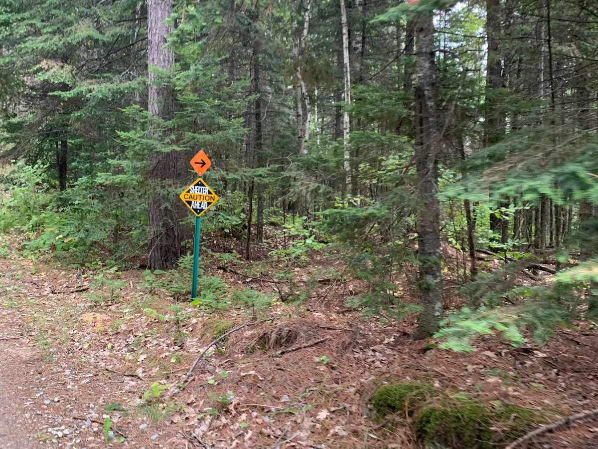
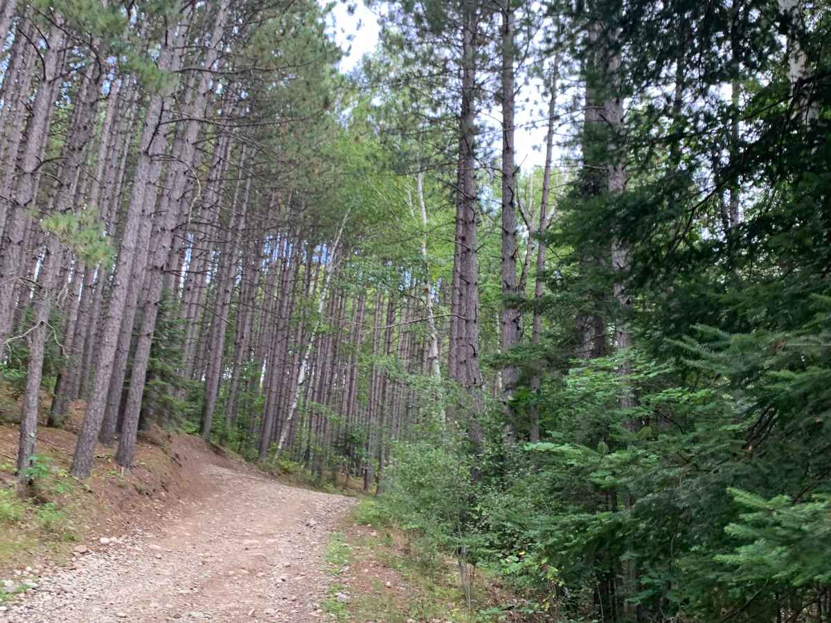
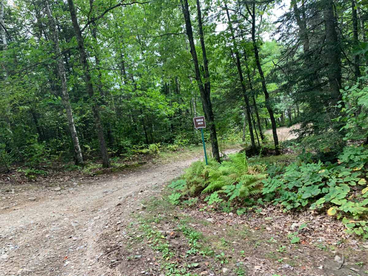
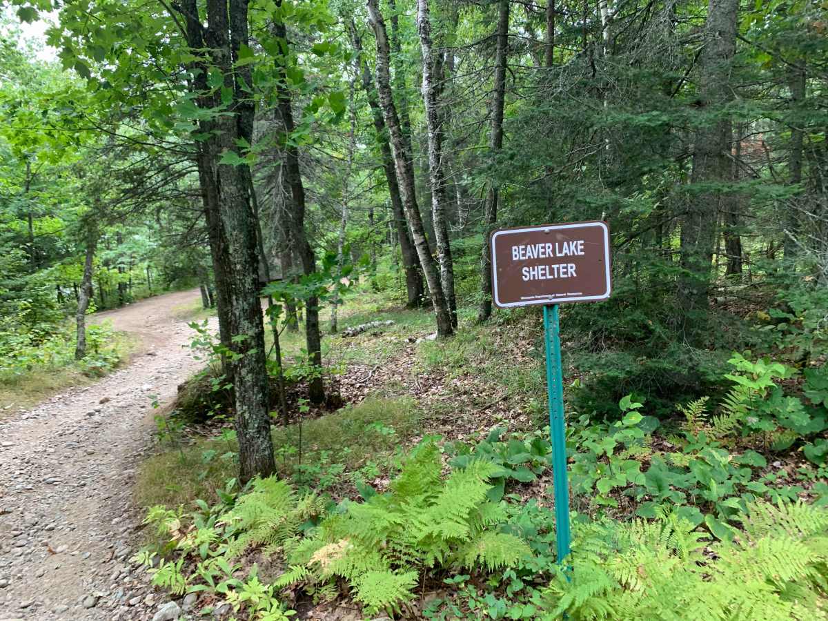
Starting from the west, Graham Trail begins with a steep, loose-rock climb that can be challenging, especially from a stop. At the top is a lakeside shelter that can provide a good place to take cover during a storm, but it is not intended for camping.
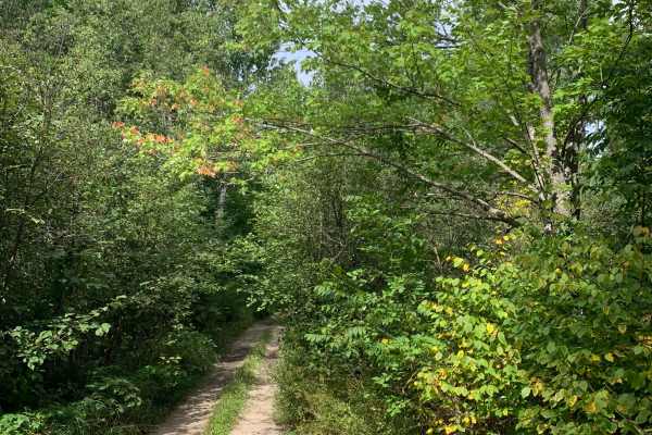
The trail continues through rocky sections before winding through lower, wetter areas where the surface changes to sand and mud, with puddles and water holes adding some fun when conditions are wet. There are also a few spots that offer a fun challenge with steep turns. These sections are primarily designed for ATVs, but they are wide enough and not overly steep for a 4x4 driver who wants to try something different. Attempt these sections at your own risk.
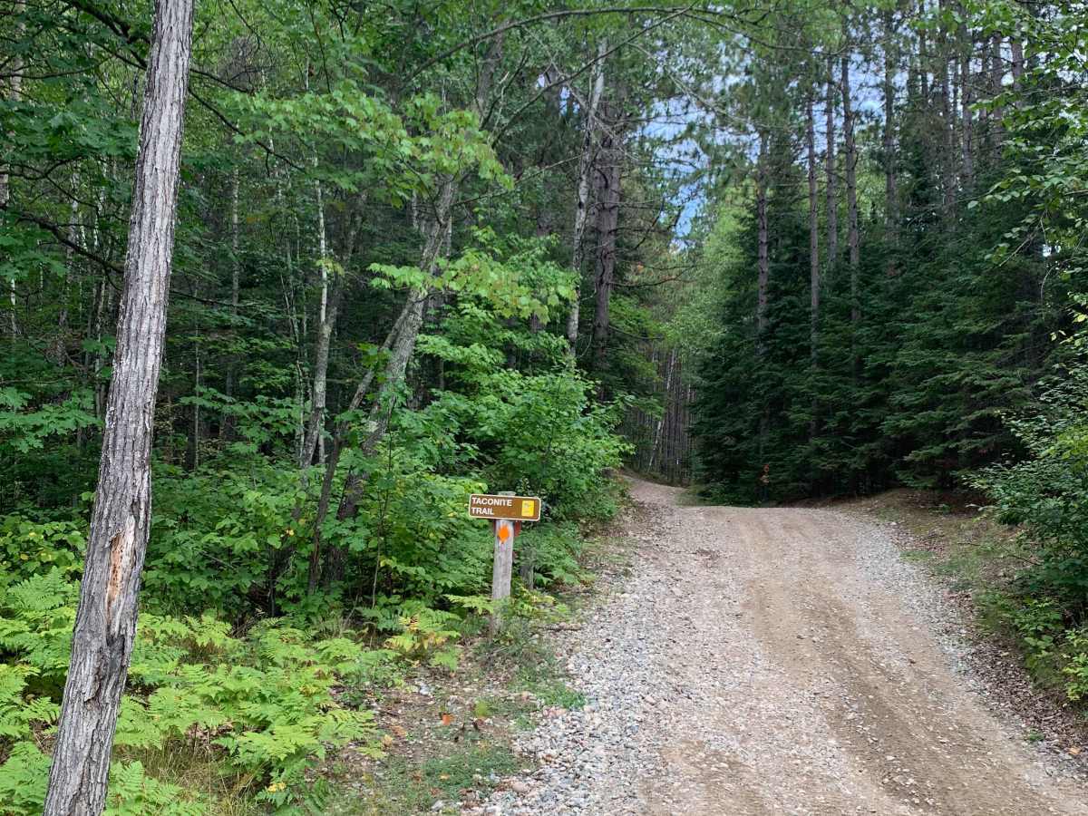
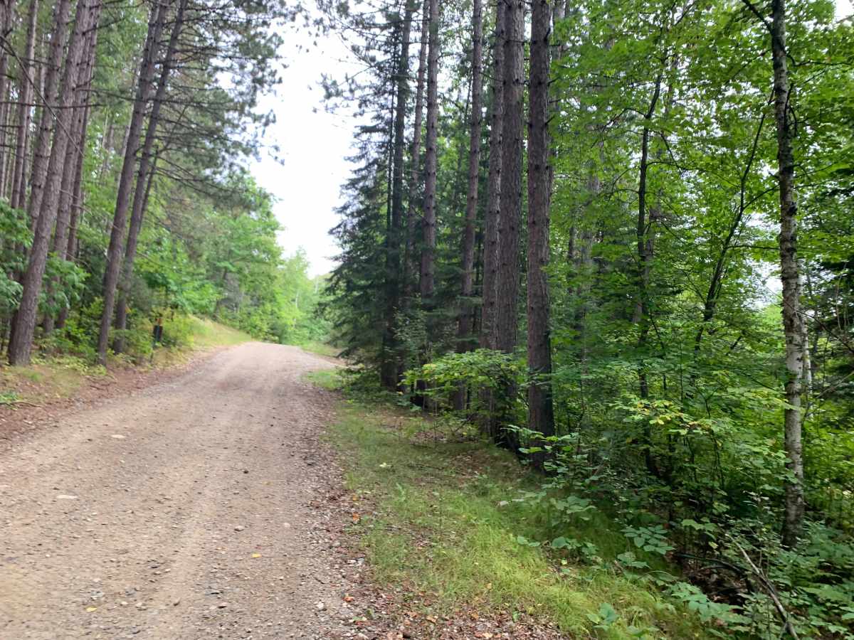
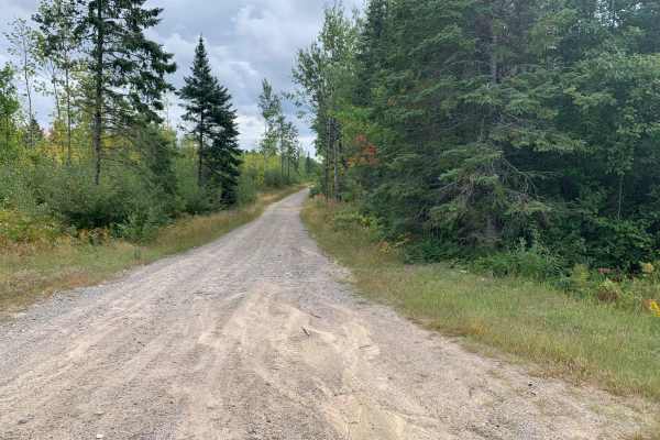
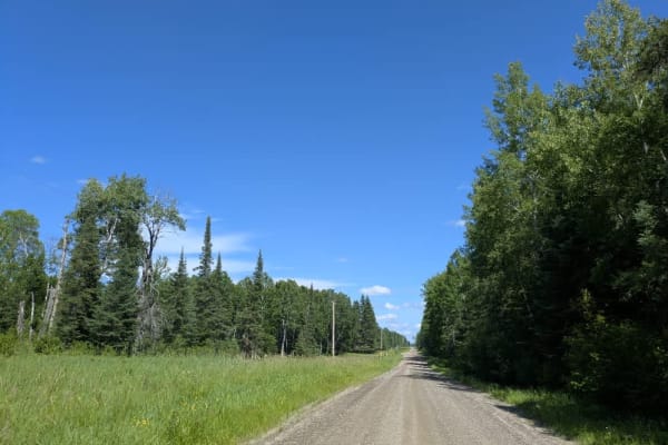
Farther along, the trail transitions into a gravel road before reaching the highway on the east side. It can be run in either direction, with the steep section becoming a climb or descent depending on your route.
Overall, Graham Trail is a good introduction to four-wheeling, offering a mix of steep terrain, loose rocks, sand, mud, water, and a few optional challenges without being overly extreme. Conditions can make sections more difficult, so take your time and know your vehicle's limits.
Difficulty
This trail is a very good mix of different types of trails to ride, including a steep hill climb or descent towards the west end. There is loose rock, sand, and mud possible on this trail.

 Offroad