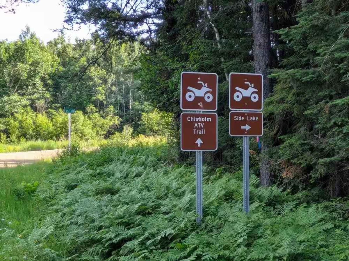
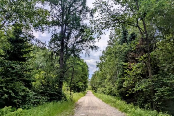
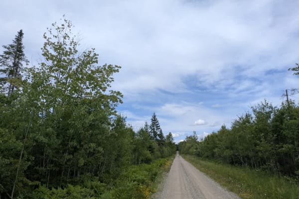
Trail Overview
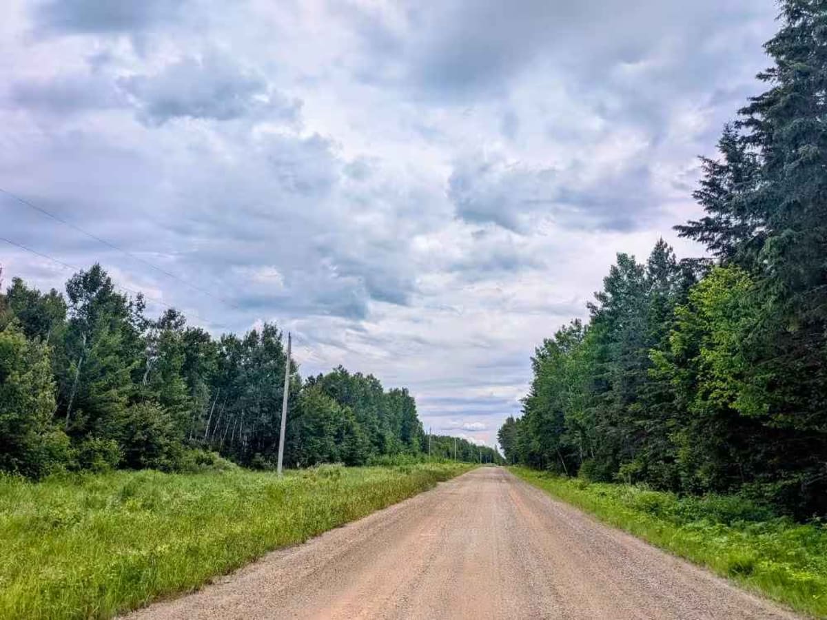
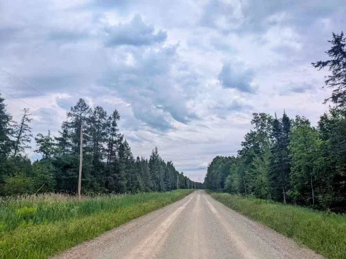
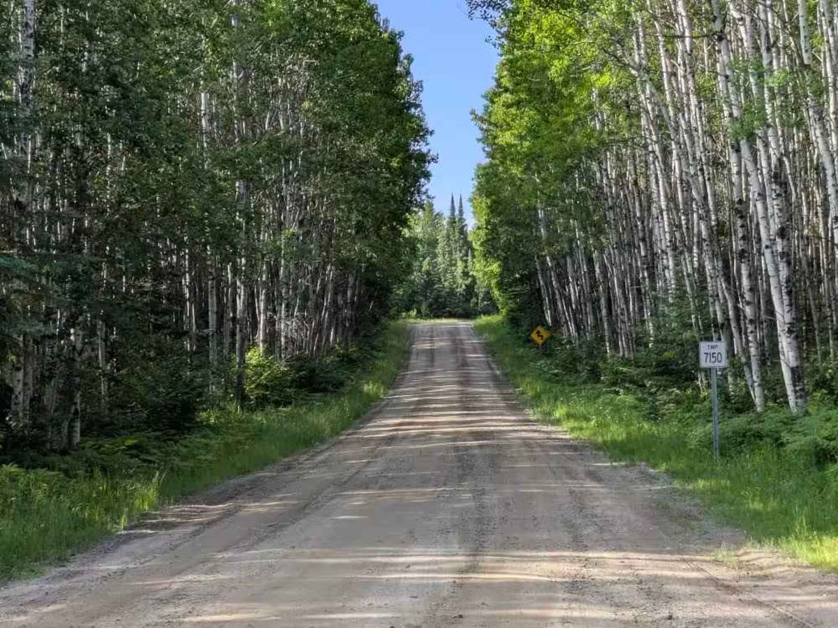
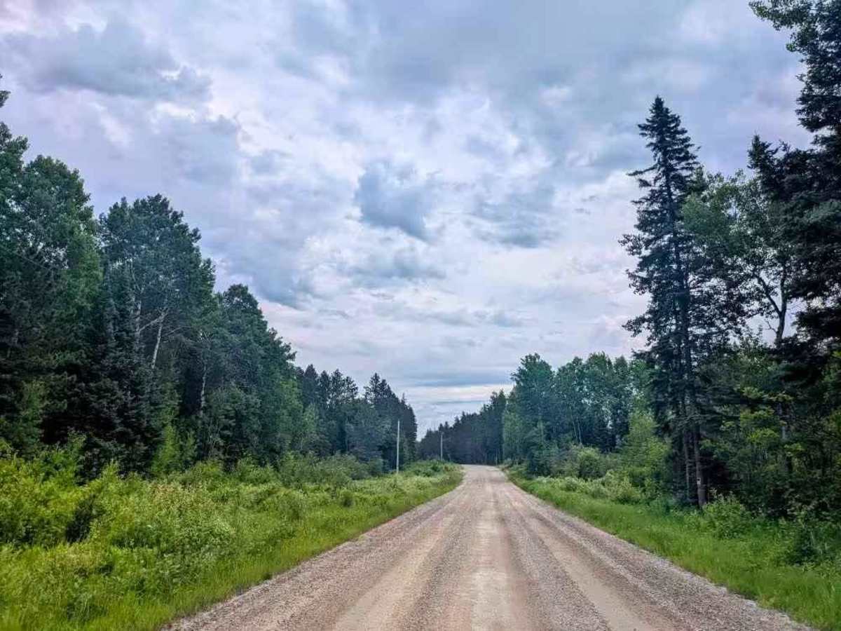
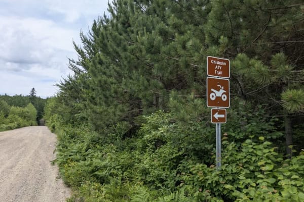
This trail is a well-maintained and smooth gravel road that serves as an access route into the Superior National Forest. It is mostly straight but includes some gentle curves, as well as a few mild ascents and descents. Along the way, the trail passes a handful of private residences, and a number of side trails branch off from the main route. Many of these offshoots are not marked on OnX maps and may be overgrown or lead to private property, so caution is advised when exploring them. While there are no dispersed campsites directly along this trail, Side Lake Campground is nearby, which provides developed camping opportunities. Near the campground, a nearby gas station offers fuel at reasonable prices and serves ice cream, which can be a welcome treat on a hot day. However, the firewood sold at the gas station is of lower quality despite being inexpensive and abundant. Higher-quality firewood is available for purchase at the campground office.
Difficulty
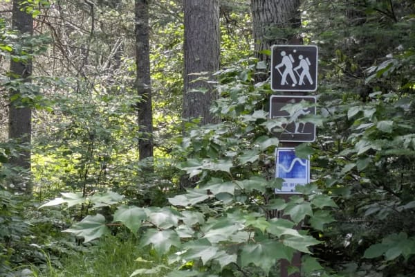
This trail is well-maintained and regularly used by other OHV riders, road users, including residents in the area.
History
Superior National Forest was established in 1909 by President Theodore Roosevelt to protect the region's watersheds and natural resources after years of heavy logging and mining. The area has long been home to the Ojibwe people, who continue to maintain cultural ties to the land. In 1978, the Boundary Waters Canoe Area Wilderness within the forest was given added protection, making it one of the most visited wilderness areas in the U.S. today.