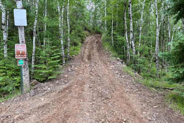
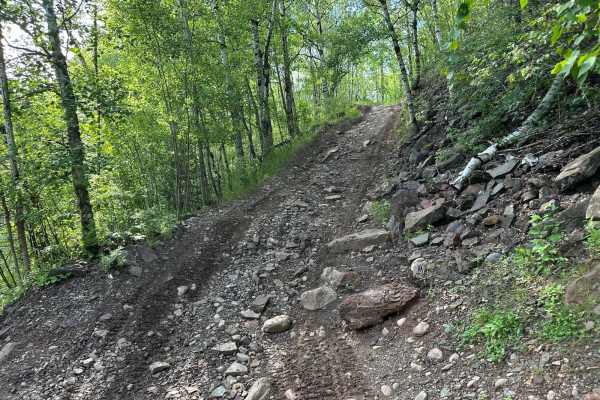
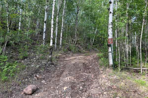
Trail Overview
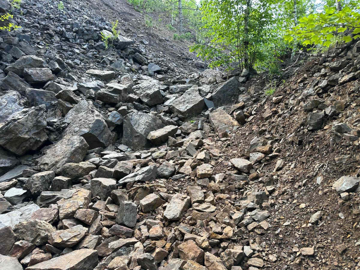
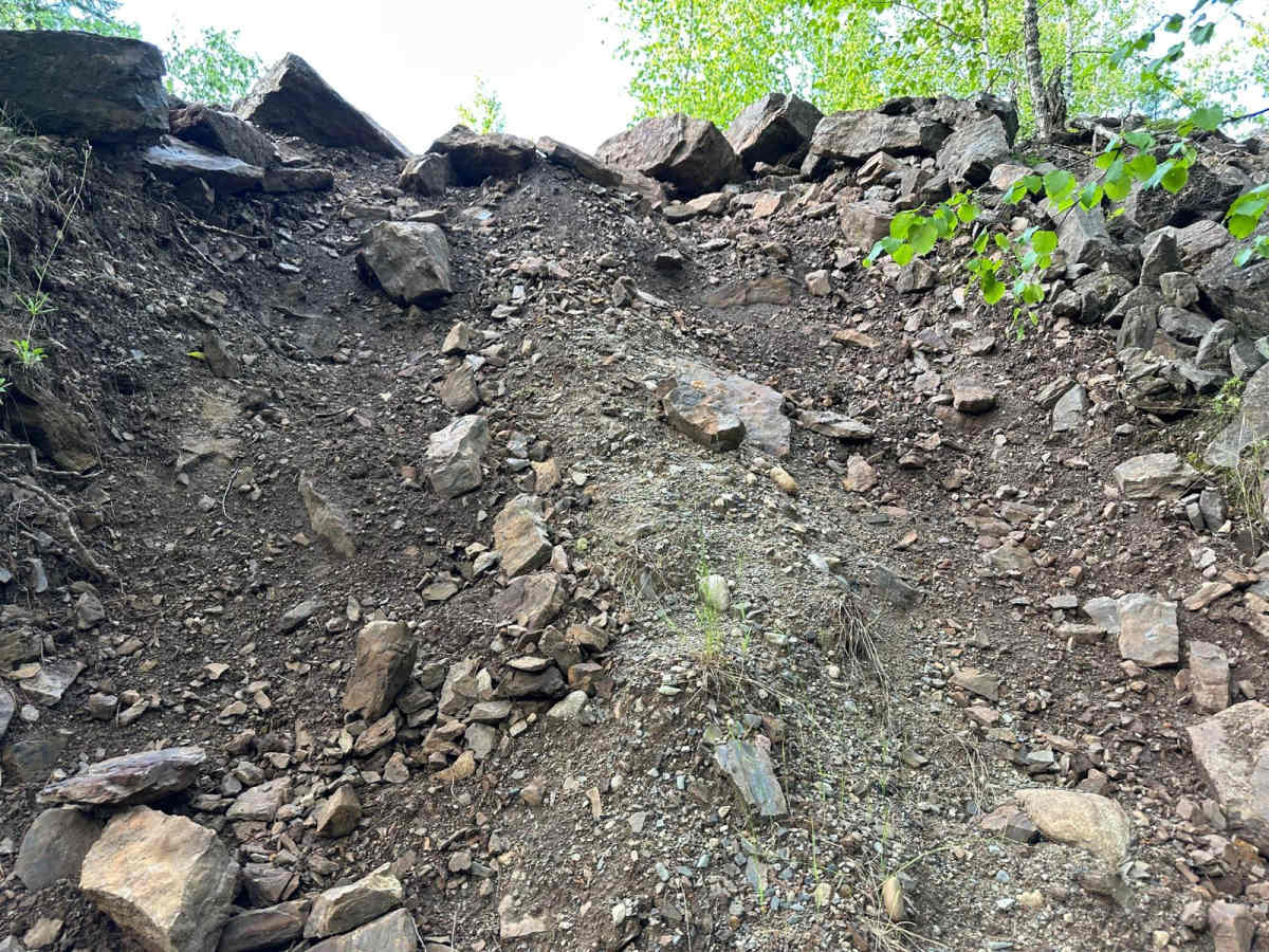
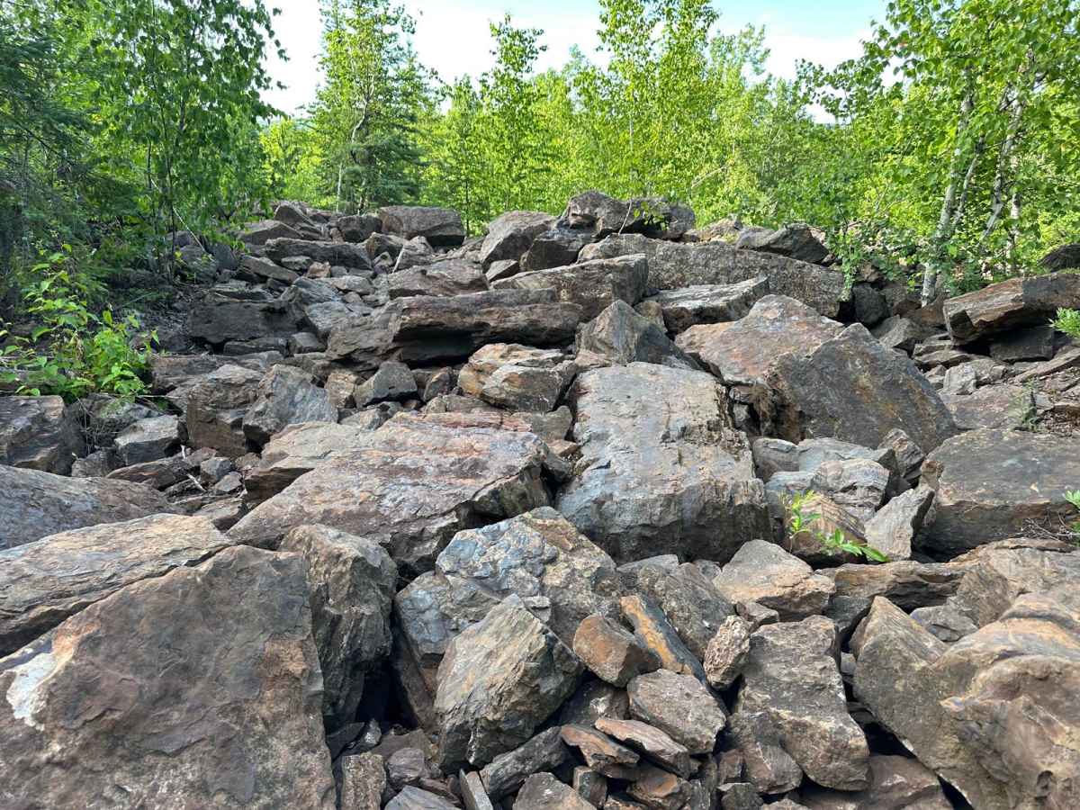
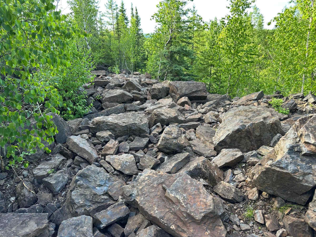
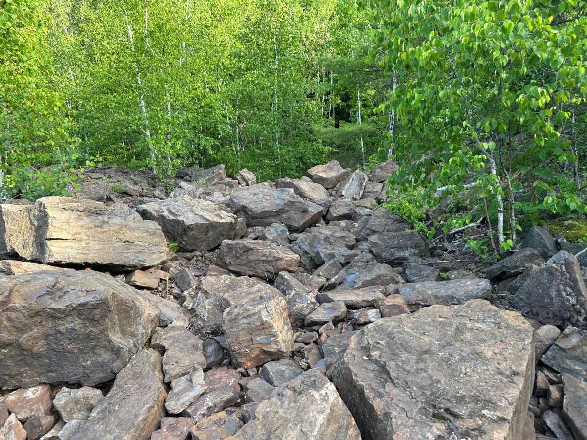
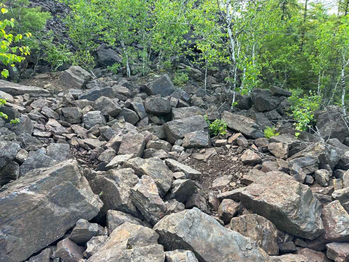
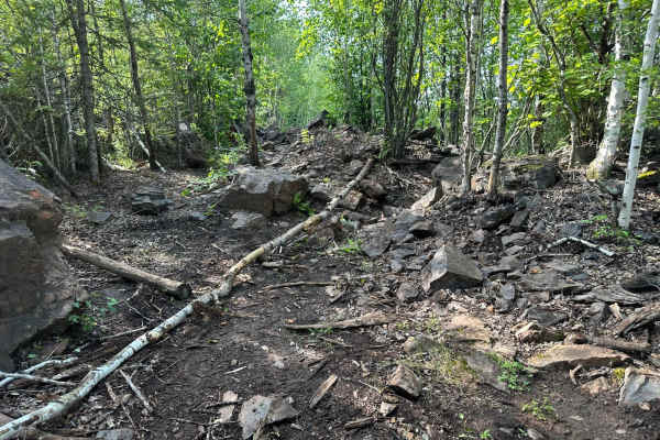
This trail is designed specifically for serious rock crawling and is best suited for highly modified rigs or dedicated off-road buggies. The terrain is aggressive, with numerous boulders throughout--some reaching up to 4 feet in height. What makes this trail even more challenging is that many of the rocks are loose, which means the ground can shift beneath your tires as you drive. Line selection and throttle control are critical, and the trail offers very little margin for error. Body damage and mechanical strain are likely without the right equipment. This is not recommended for stock vehicles or inexperienced drivers.
Difficulty
Extremely difficult. This is a purpose-built rock crawling trail meant for buggies or heavily modified rigs. Expect loose terrain with shifting boulders, some as tall as 4 feet, making traction unpredictable and line choice critical. Not suitable for stock vehicles--rollovers, body damage, and mechanical strain are likely without proper gear and experience. Only attempt with full armor, low gearing, and solid recovery equipment.
History
The Iron Range OHV Recreation Area was built on reclaimed mining land, once part of the rich Mesabi Iron Range that fueled U.S. steel production for over a century. Today, this 1,200+ acre site blends industrial history with outdoor adventure, offering a rare chance to ride through the remnants of Minnesota's mining legacy.