Trail Overview
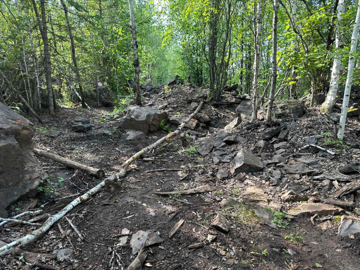
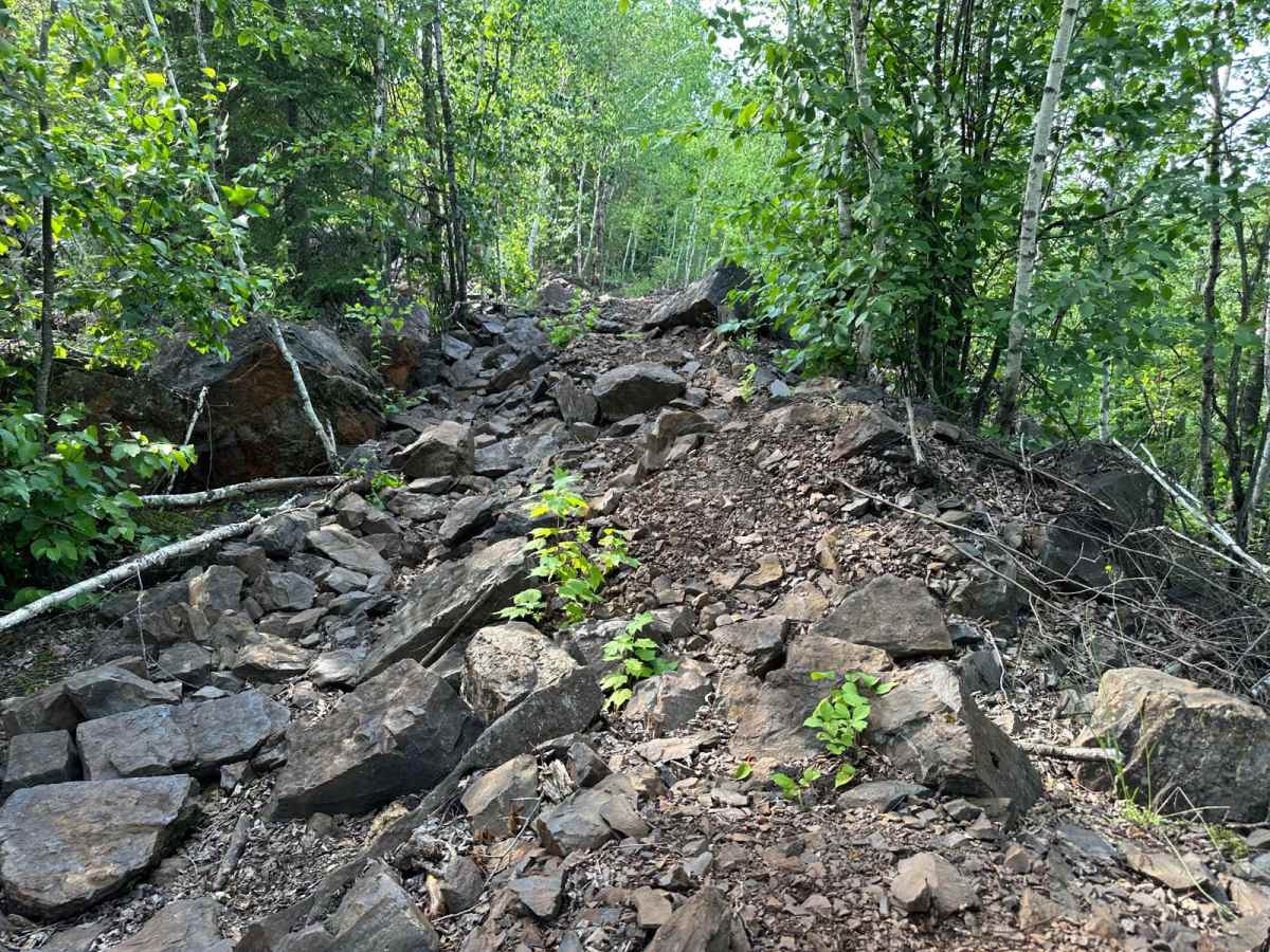
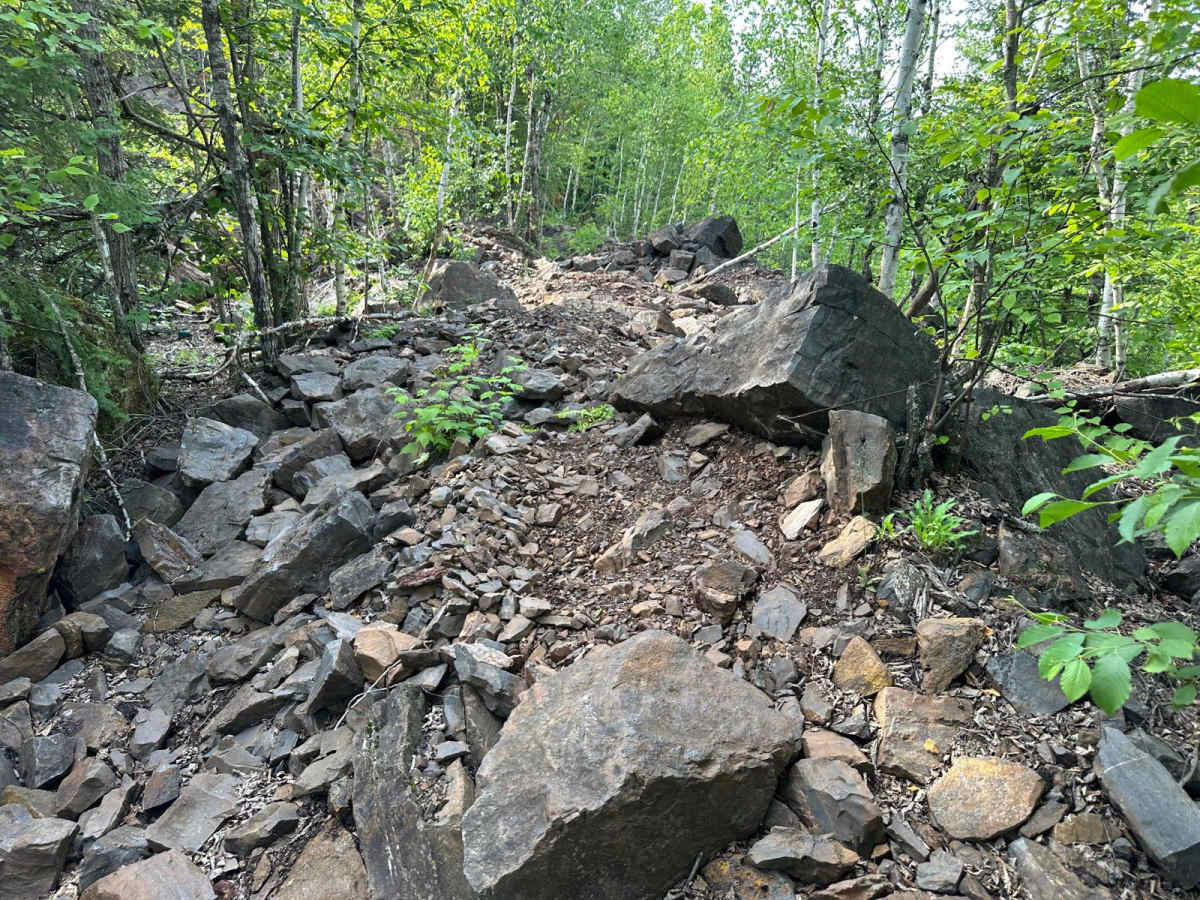
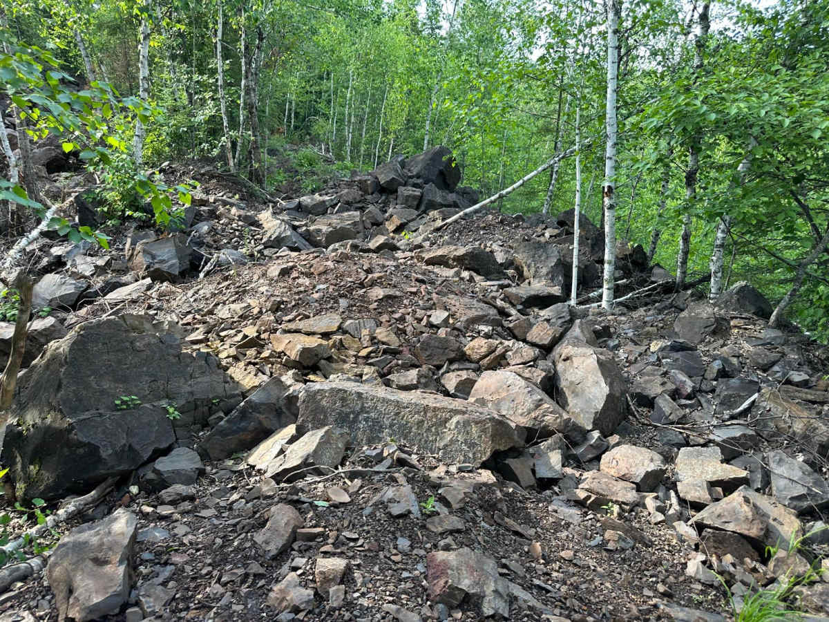
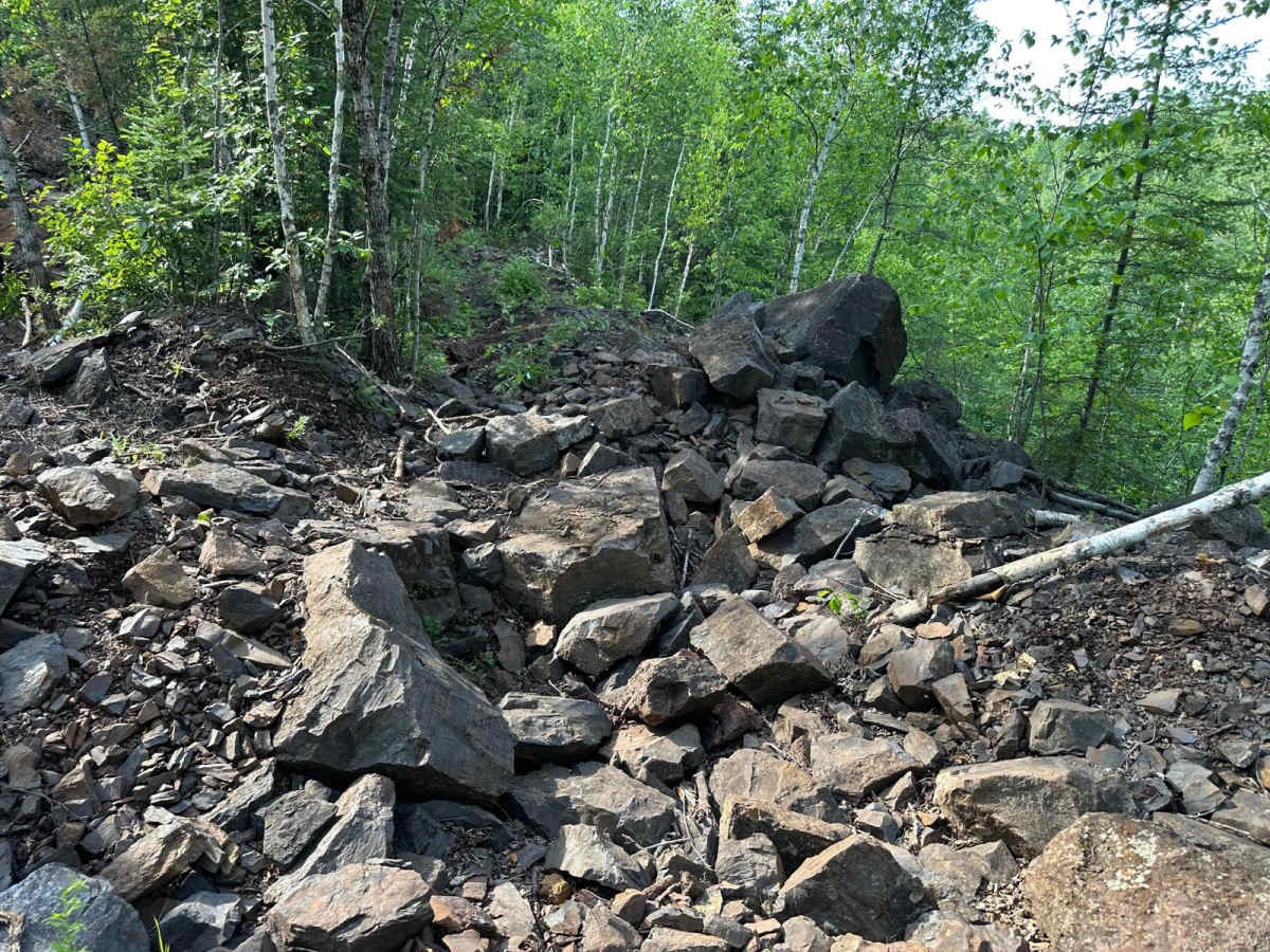
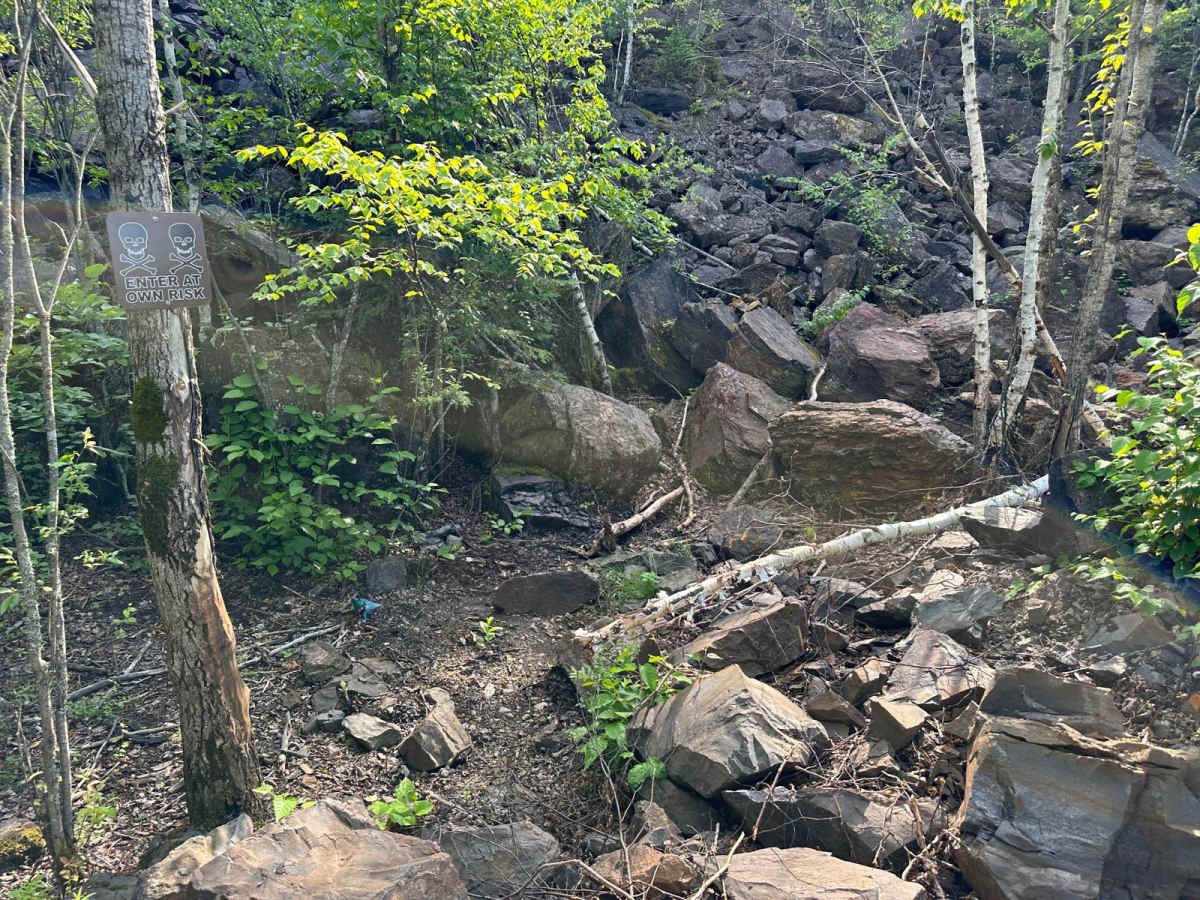
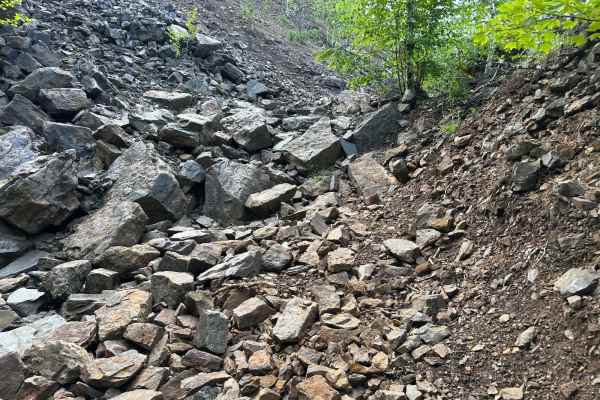
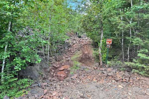
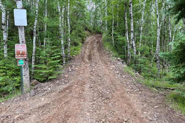
This trail offers a compact but challenging rock garden near the top, featuring several large boulders--some reaching up to 4 feet in height. Drivers will need to choose their lines carefully, especially if taking the optional harder route, which presents steeper angles and more aggressive terrain. At the opposite end, where the trail connects with Lower Money Talks, you'll encounter a slick mud hill that adds a different type of challenge. This hill is littered with partially exposed rocks and tree roots, which can make traction difficult--particularly when climbing uphill. Tire placement and throttle control become crucial in wet conditions. While the downhill direction is more manageable, running this trail uphill may push your rig's limits depending on recent weather and ground saturation
Difficulty
This short trail packs a punch. Up top, you'll face boulders up to 4 feet tall with an optional harder line. At the lower end, a steep, muddy hill with rocks and roots can make traction tough--especially when climbing. Best suited for well-equipped rigs and confident drivers.
History
The Iron Range OHV Recreation Area was built on reclaimed mining land, once part of the rich Mesabi Iron Range that fueled U.S. steel production for over a century. Today, this 1,200+ acre site blends industrial history with outdoor adventure, offering a rare chance to ride through the remnants of Minnesota's mining legacy.