Trail Overview
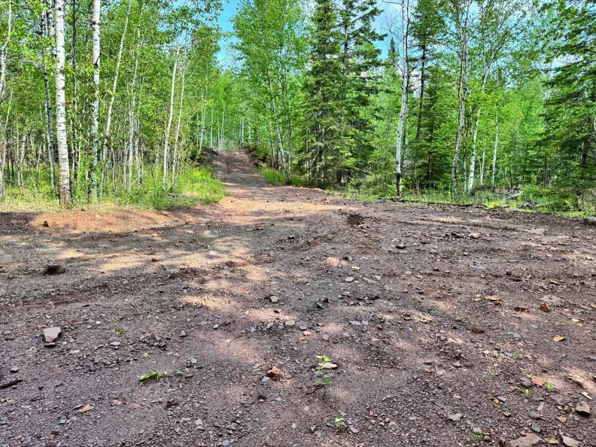
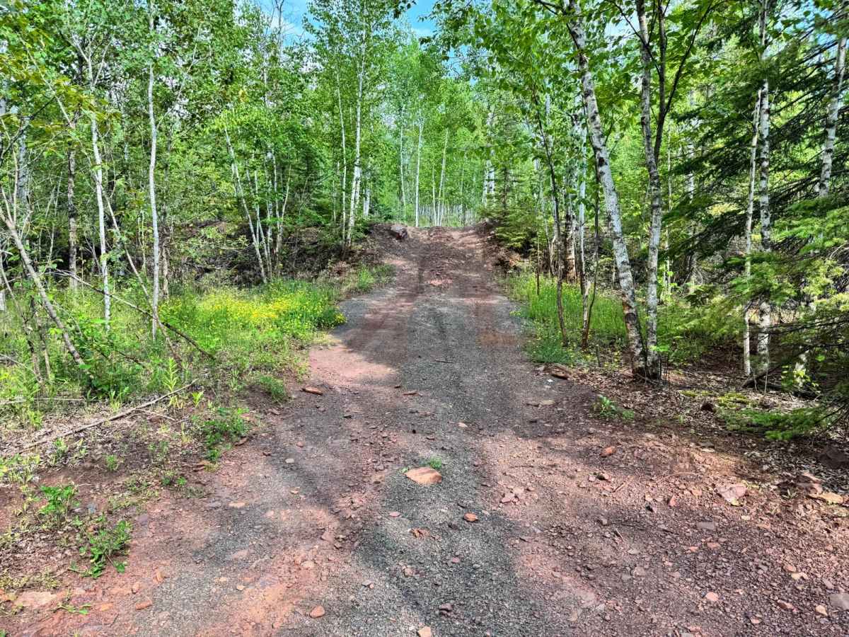
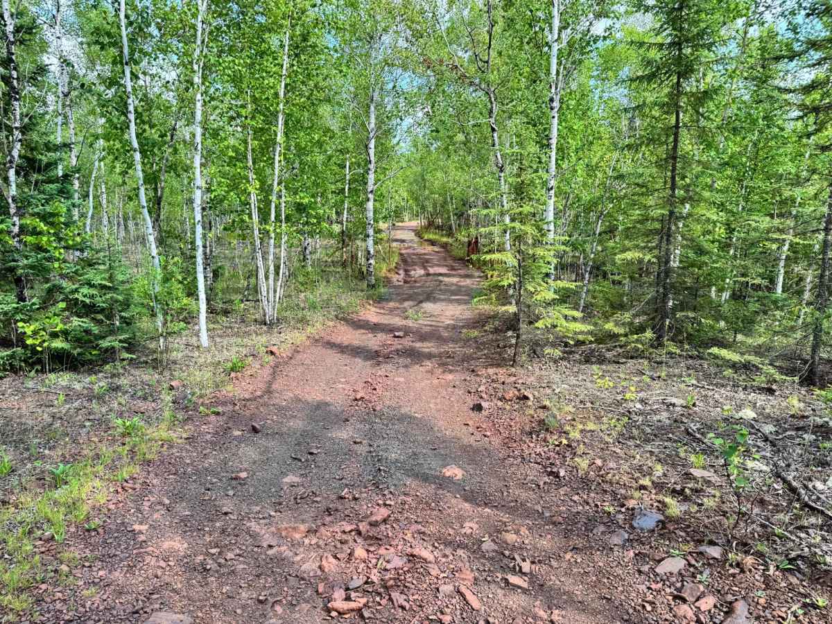
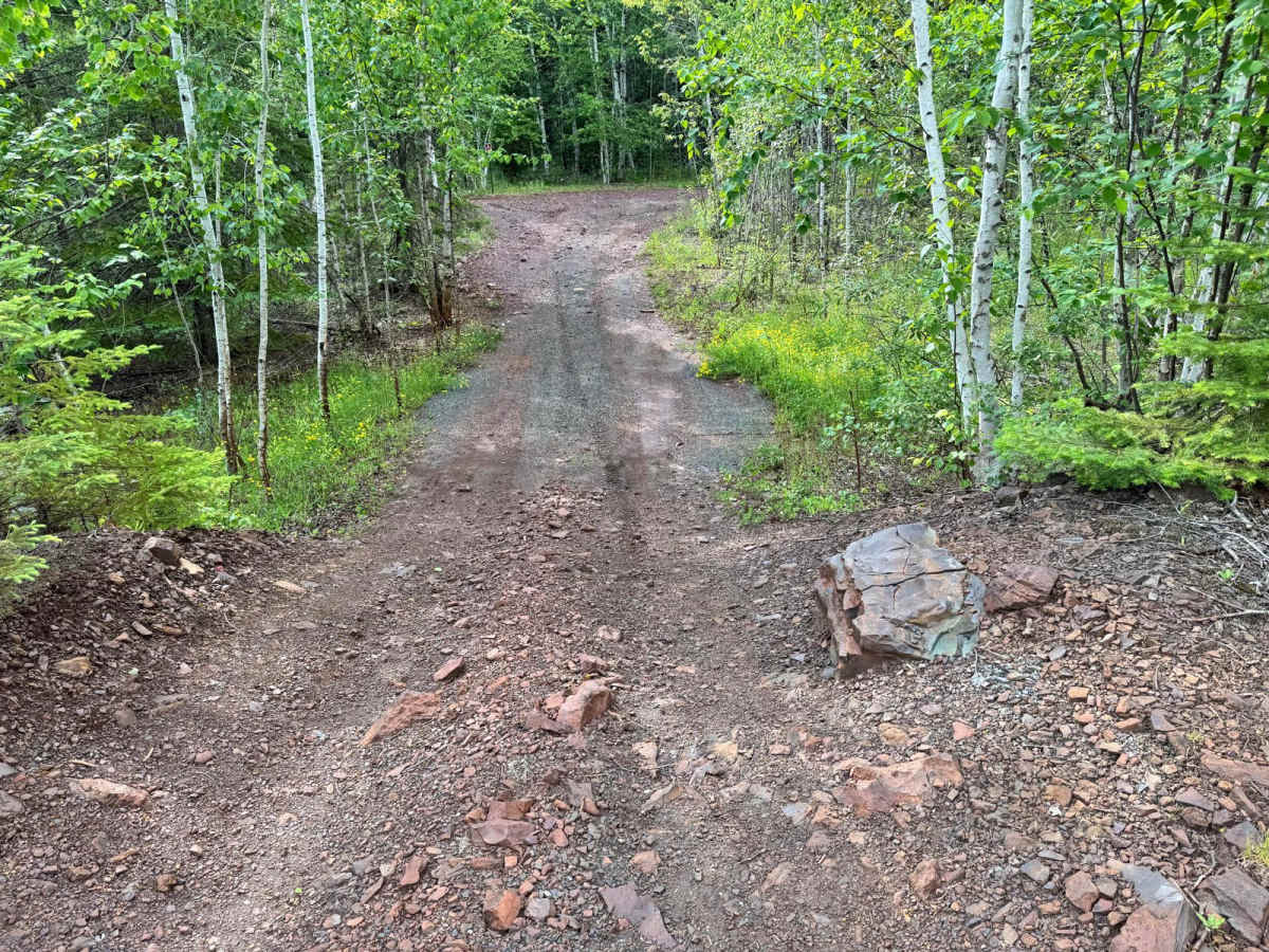
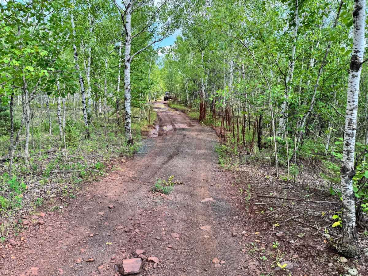
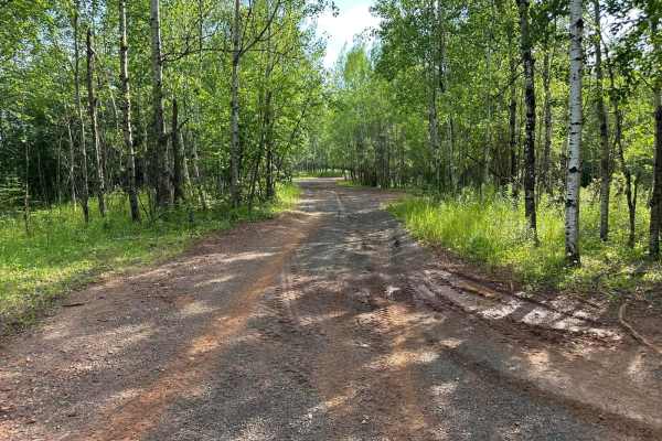
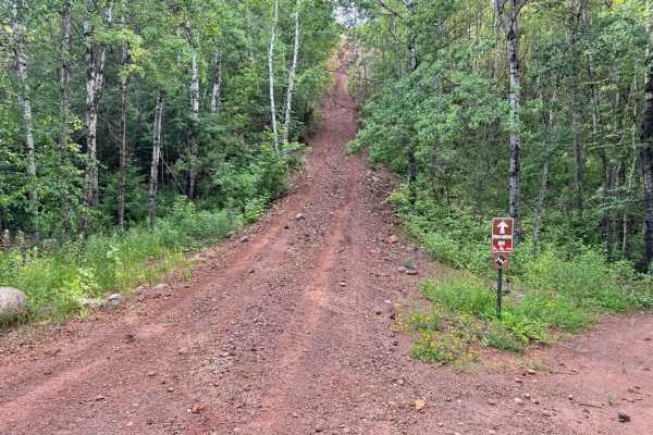
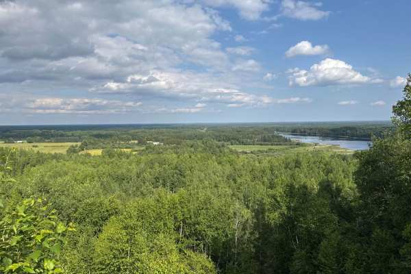
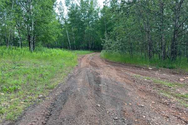
This trail offers a relatively easy ride and is well-suited for most off-road vehicles with moderate ground clearance. The terrain is primarily dirt-based, with only a few minor mud holes scattered along the route, most of which have solid bottoms and are easily passable. The most notable feature is a single hill that may present a challenge for stock high-clearance 4WD or vehicles with longer wheelbases, as the crest could potentially cause high-centering if not approached with proper tire placement. Beyond that, there are no major technical obstacles, making this trail ideal for beginners or those looking for a relaxed drive through a scenic stretch of forested terrain.
Difficulty
While most of the route is smooth and beginner-friendly, the one hill may pose a challenge for vehicles with lower ground clearance due to the risk of high-centering. Occasional small mud holes add minor variety but don't significantly increase the difficulty.
History
The Iron Range OHV Recreation Area was built on reclaimed mining land, once part of the rich Mesabi Iron Range that fueled U.S. steel production for over a century. Today, this 1,200+ acre site blends industrial history with outdoor adventure, offering a rare chance to ride through the remnants of Minnesota's mining legacy.

 Offroad