Trail Overview
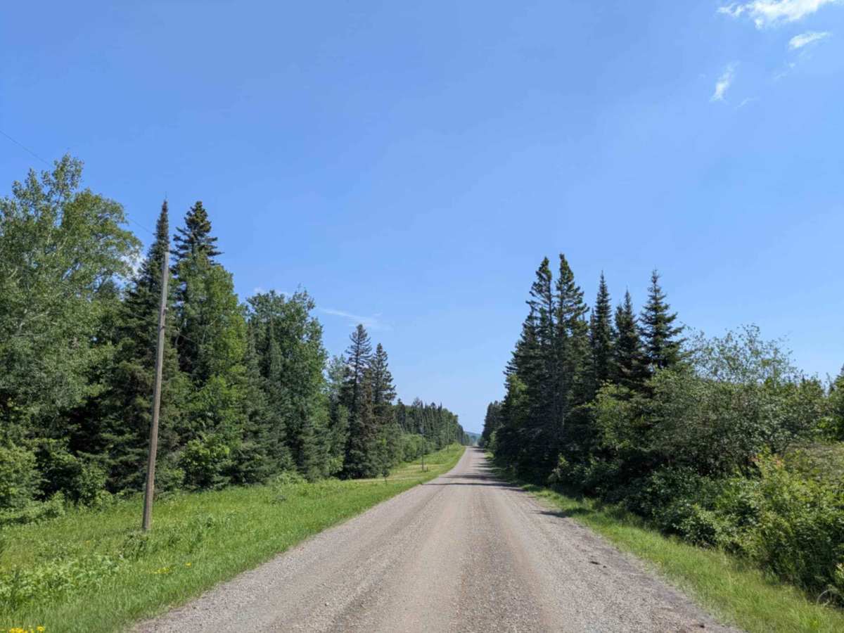
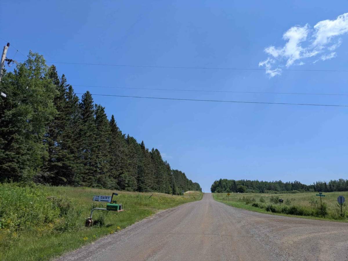
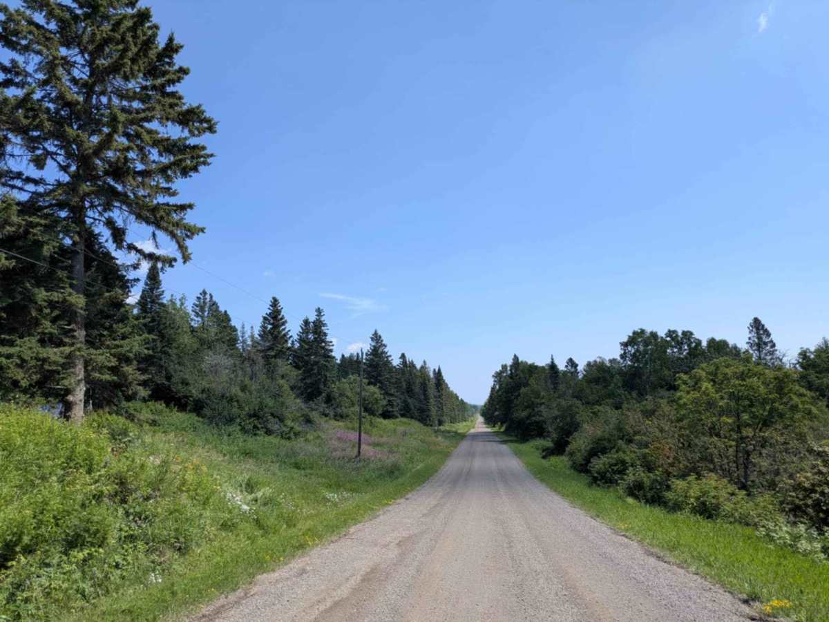
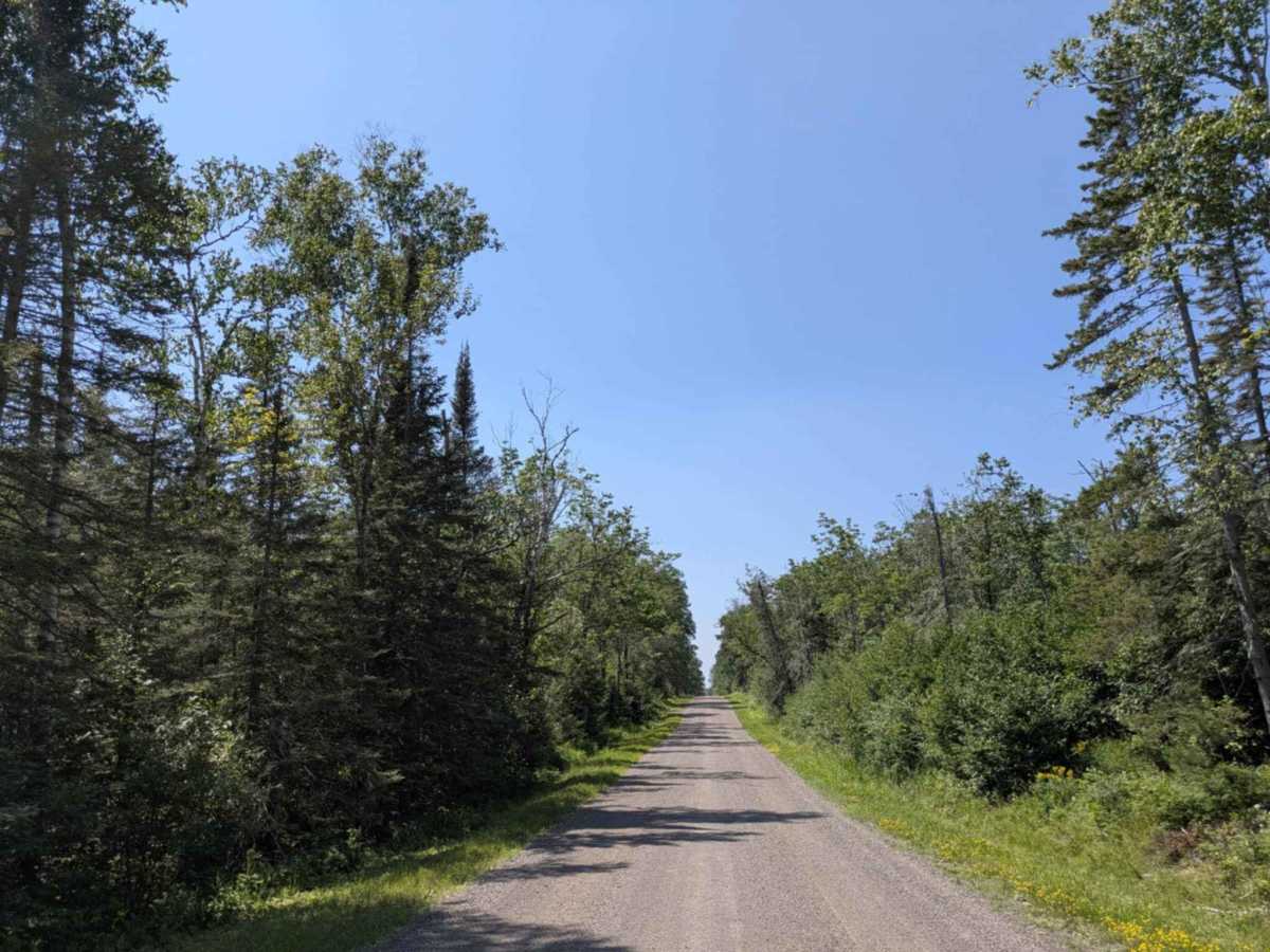
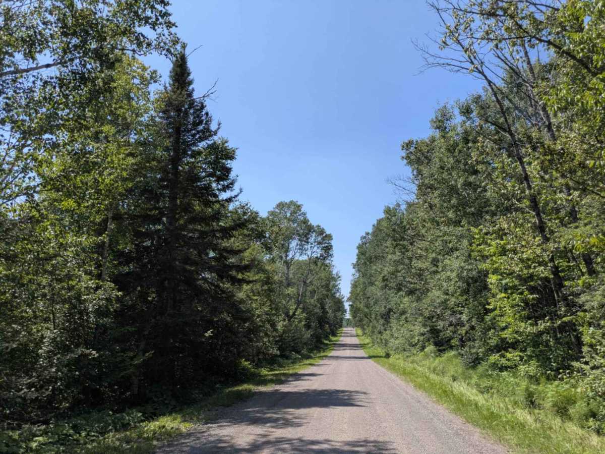
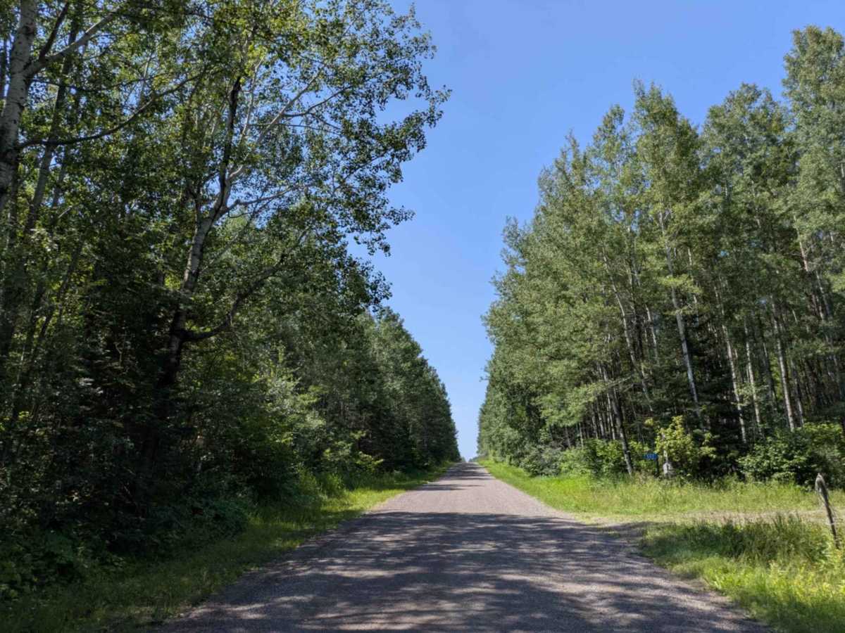
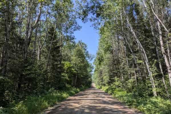
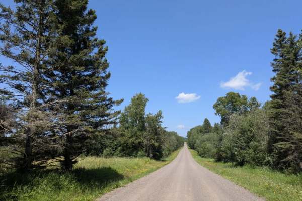
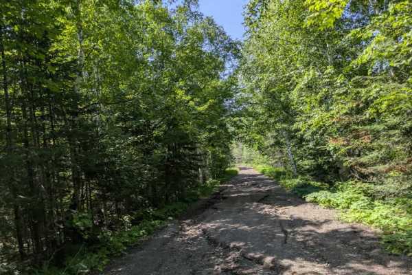
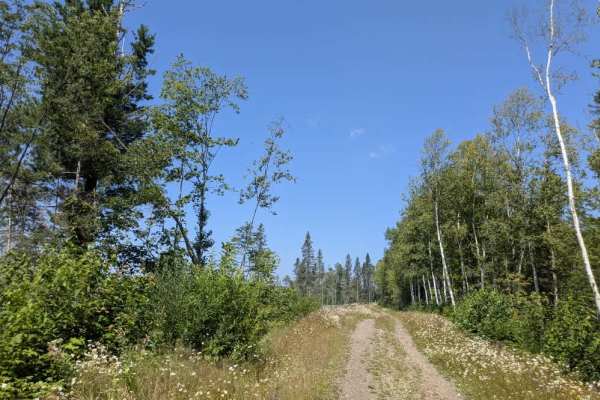
County Road 60 is a scenic gravel route accessed from the paved Gunflint Trail. It is wide and well-maintained, making for an easy and enjoyable drive. Early in the route, the trail passes a wildflower sanctuary where visitors are encouraged to plant native flowers, followed by a stretch that runs alongside a picturesque river. Continuing on, the trail winds past several private residences, so drivers should be mindful of local traffic. The route meanders through a mix of forest and residential properties, with occasional side trails branching off from the main road. As the trail progresses, it enters a shaded section of dense forest, where visibility can be limited, and it may be challenging to spot trail obstacles or surface irregularities. Some ATV trails intersect this portion of the route. While the area is scenic and accessible, the trail does not offer any formal or dispersed campsites and lacks services such as trash disposal or potable water. Cell service may be inconsistent or unavailable.
Difficulty
This trail is well-maintained and used daily by residents and adventurers. The route is wide and clear of debris, with established tread and minimal overgrowth—ideal for a smooth and scenic drive or hike.