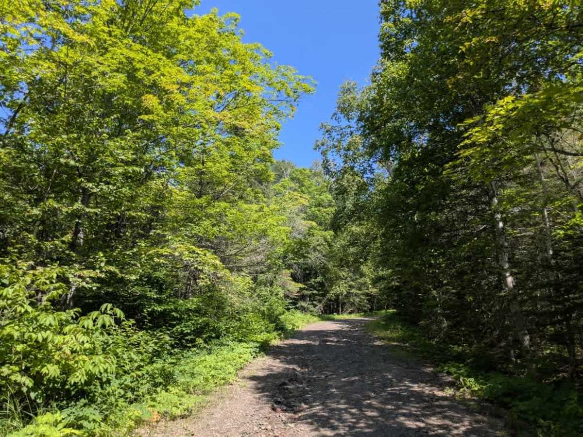
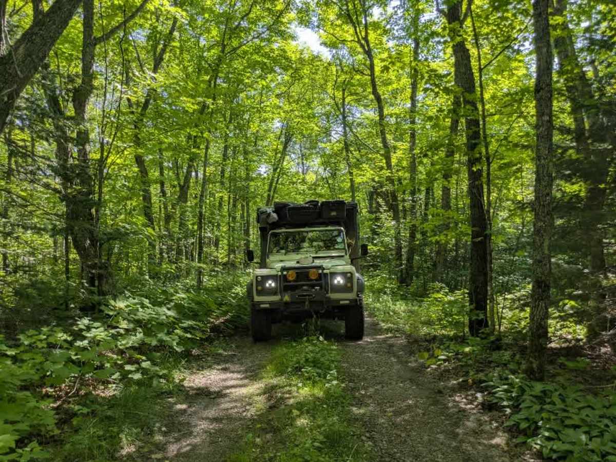
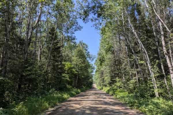
Trail Overview
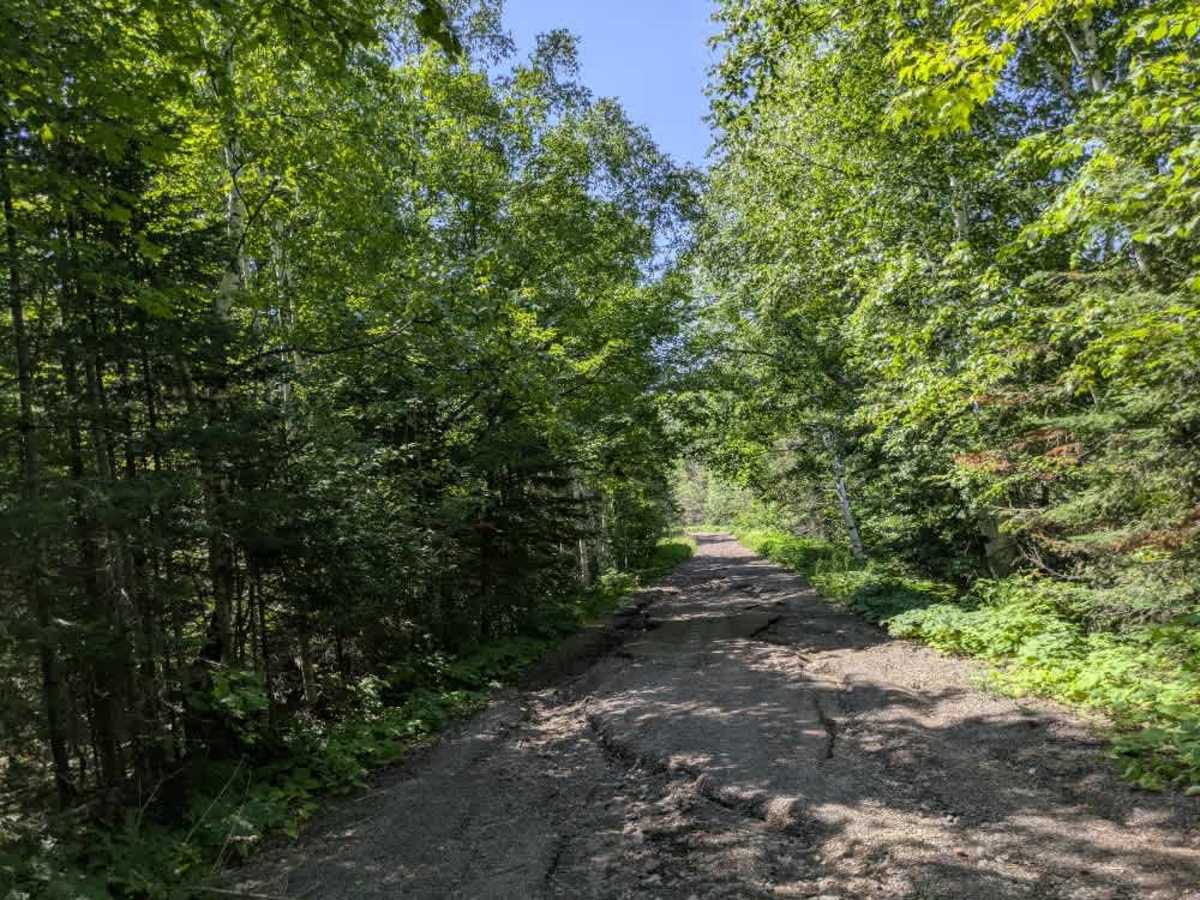
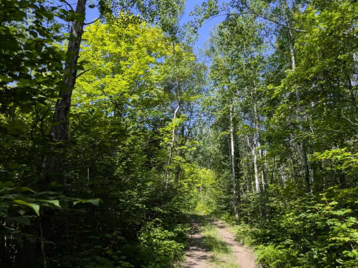
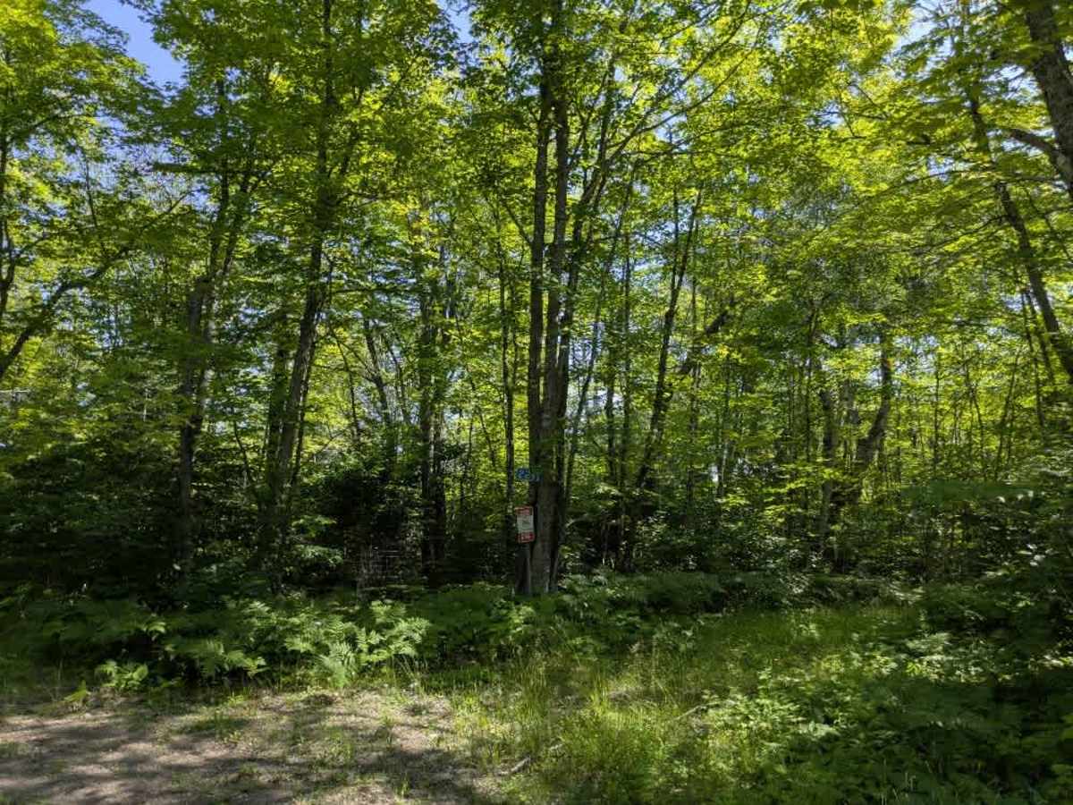
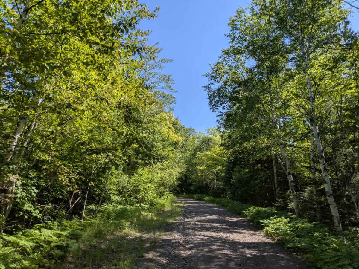
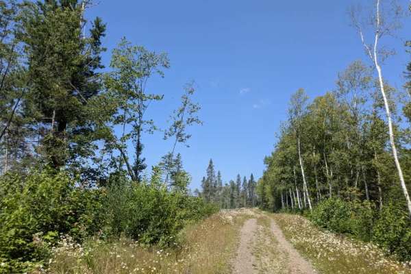
The Bogus Lake trail begins as a gravel road that immediately climbs a steep, heavily eroded surface. The route is off-camber in places and requires slow, careful driving due to its uneven and bumpy condition. As the trail continues to climb, it eventually reaches a fork. The left fork stays gravel and leads to private property, while the right fork narrows into a two-track that marks the continuation of the trail. This portion leads to an ATV trail and eventually to Bogus Lake, where a small rustic parking area offers walk-in access to the water. A cabin is located along this section of the trail, and shortly afterward, the route ends in a clearing and transitions into private property where ATV use is no longer permitted. The trail does not provide any formal or dispersed camping opportunities and lacks essential services such as potable water and trash disposal. Cell service in the area may be limited or unavailable.
Difficulty
The trail is maintained but can develop light overgrowth between trims, especially in the summer months. Commonly used by adventurers and local OHV traffic, the path remains visible and passable, though branches and low brush may occasionally encroach.