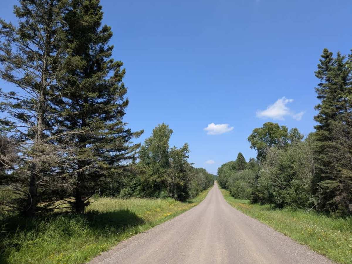
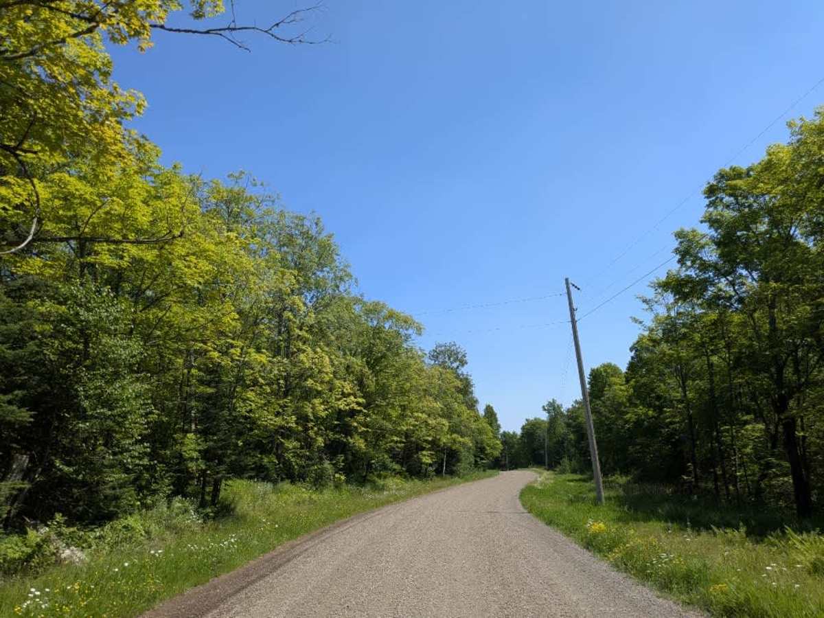
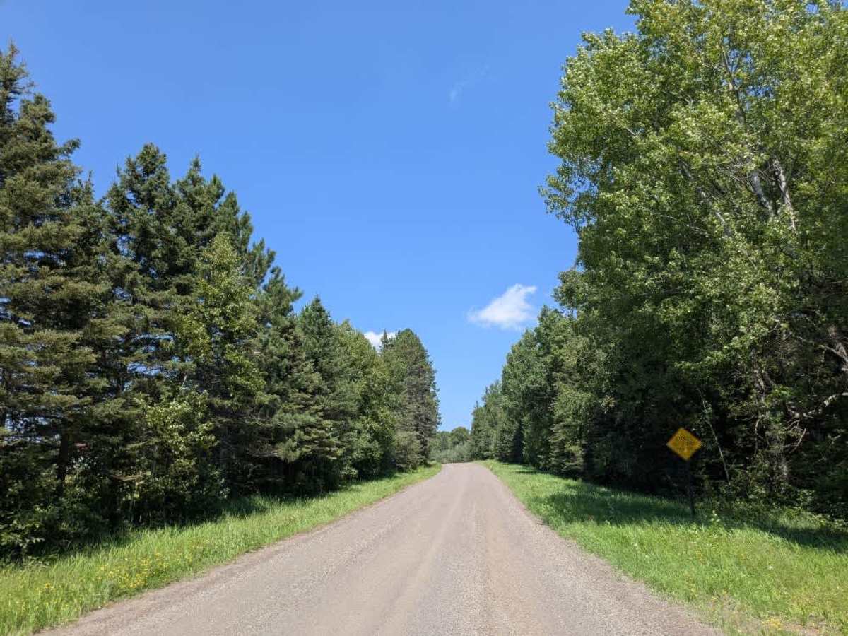
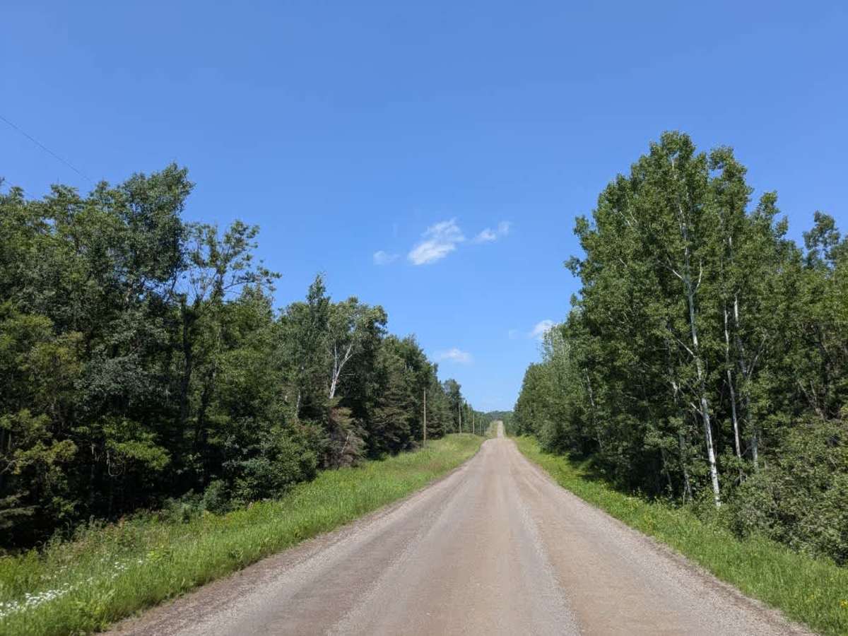
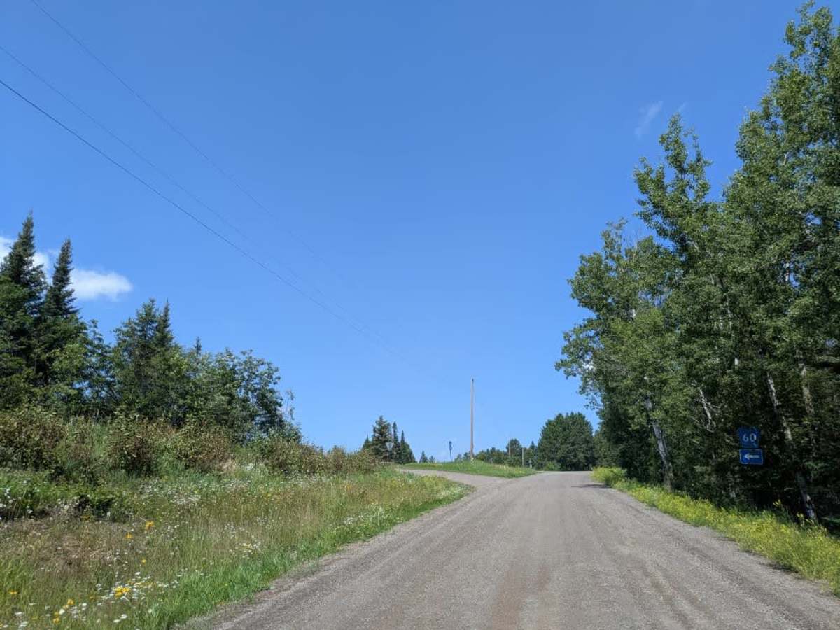
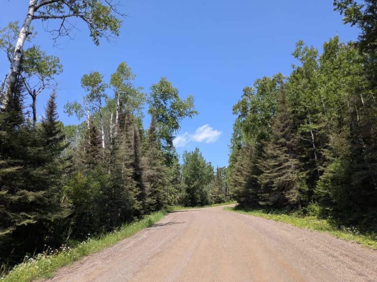
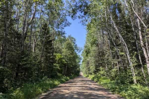
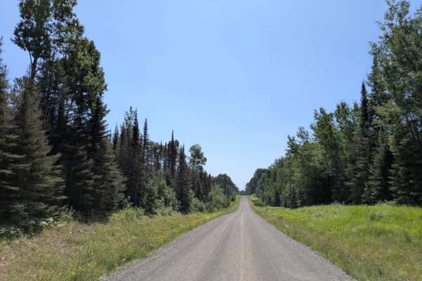
Trail Overview
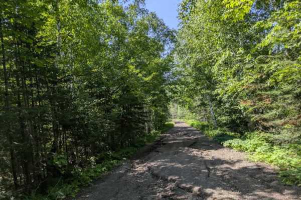
This scenic trail is accessed from Highway 61 and begins as a well-maintained gravel road that climbs gradually away from the shore of Lake Superior. The route winds through forested terrain and passes several private residences, so drivers should remain alert for local traffic as well as pedestrians and children near the roadway. The trail follows a U-shaped path, starting and ending at Highway 61, and remains smooth and drivable throughout its length. In several elevated sections, there are clear views of Lake Superior, adding to the overall appeal of the drive. A few smaller trails branch off from the main route, though most are unmarked and not heavily traveled. While the setting is attractive and the road well-kept, there are no designated or dispersed campsites along the trail. Additionally, the route lacks basic amenities such as trash disposal and potable water. Cell phone service may be limited in certain areas.
Difficulty
This trail is well-maintained and used daily by residents and adventurers. The route is wide and clear of debris, with established tread and minimal overgrowth—ideal for a smooth and scenic drive or hike.