Trail Overview
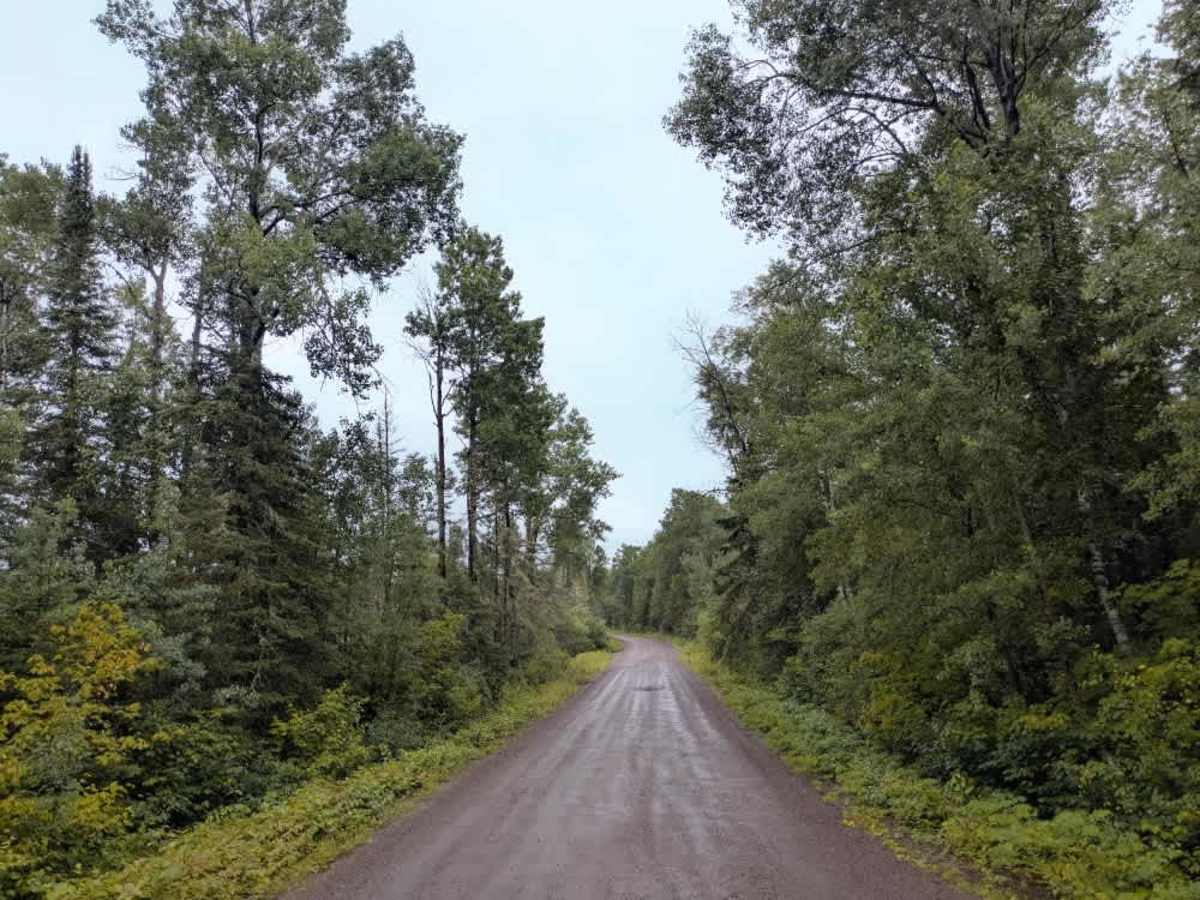
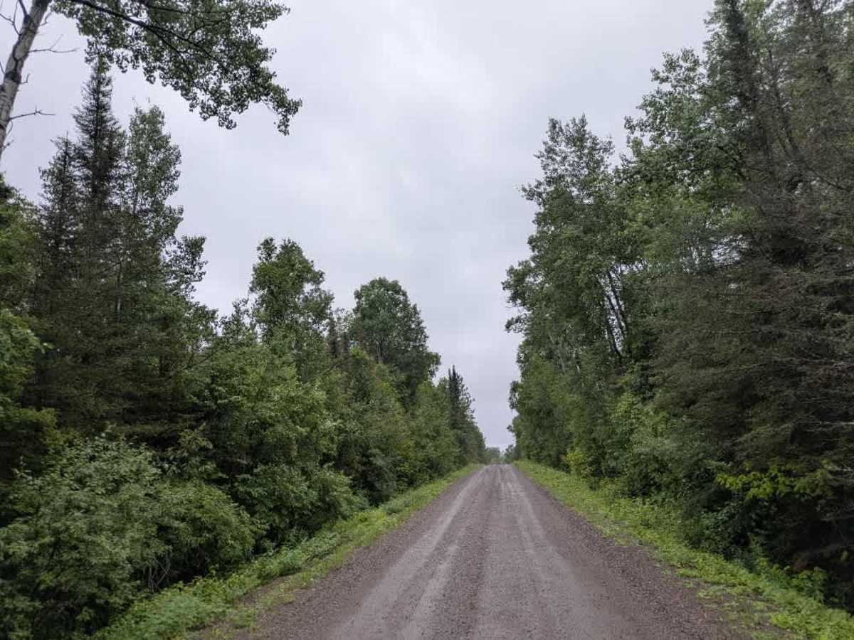
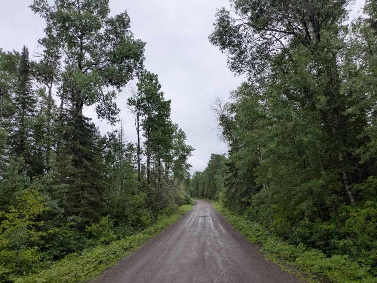
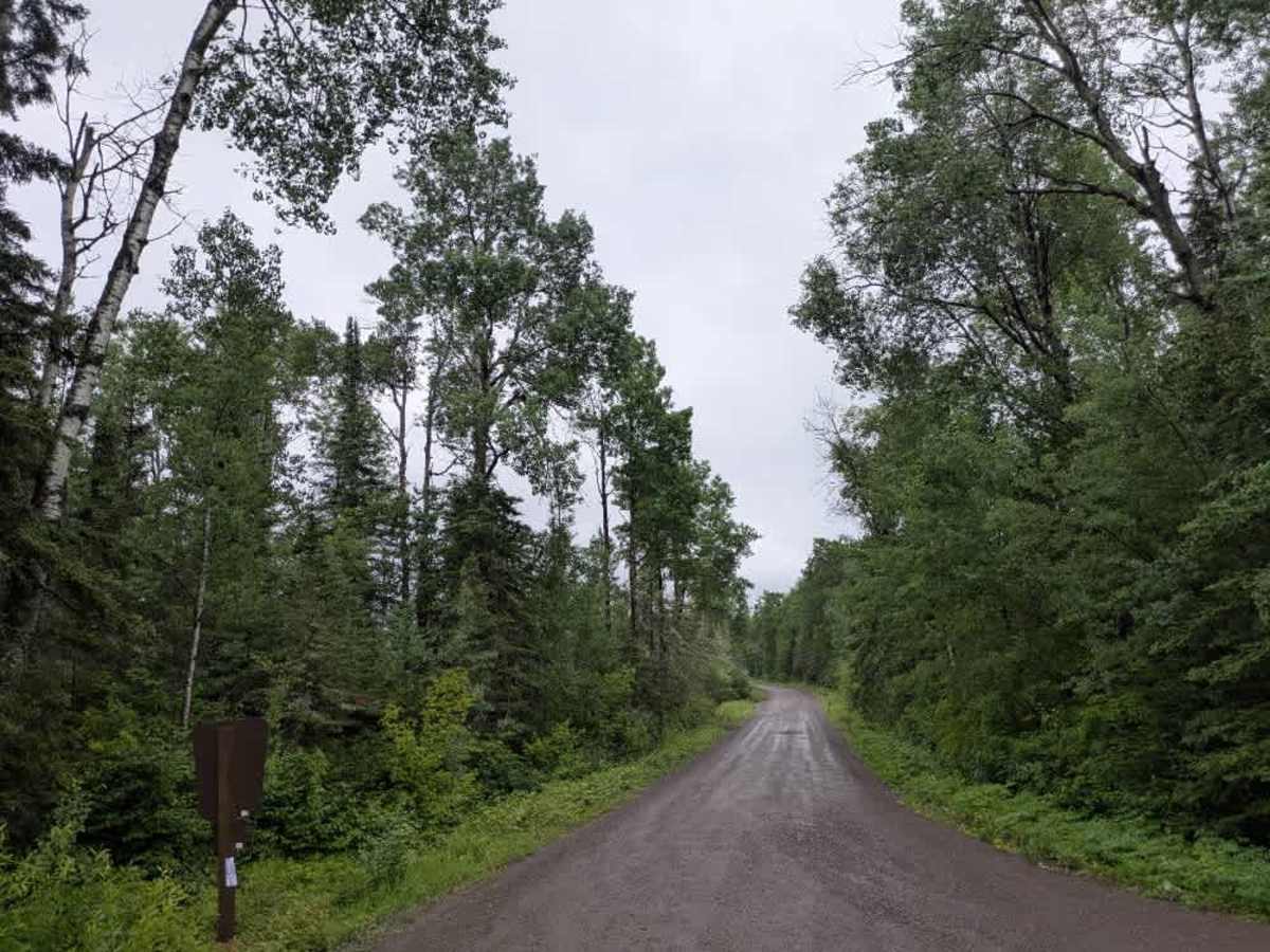
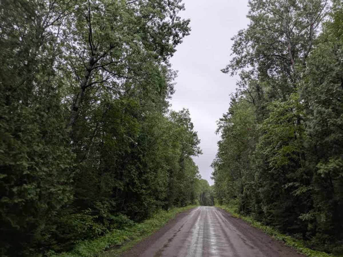
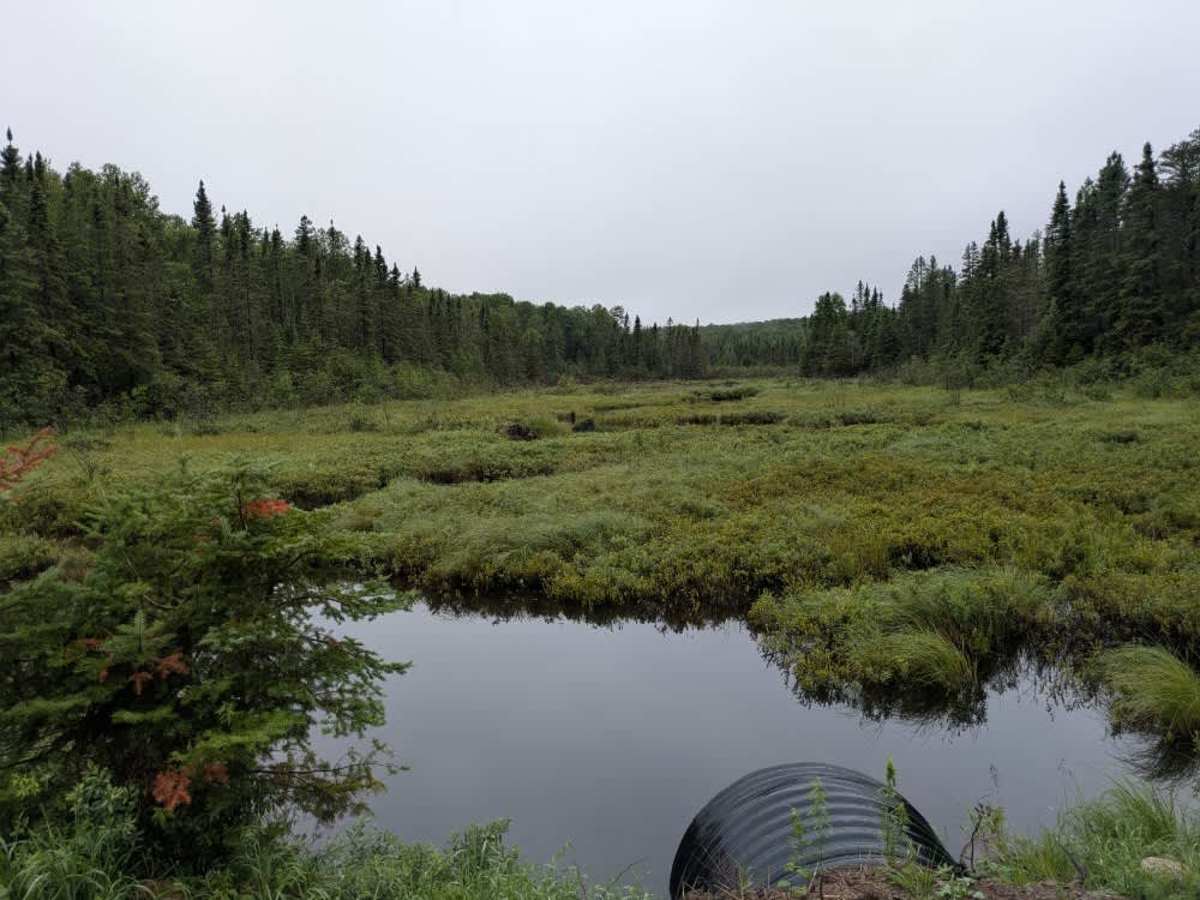
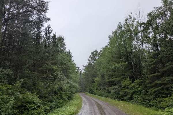
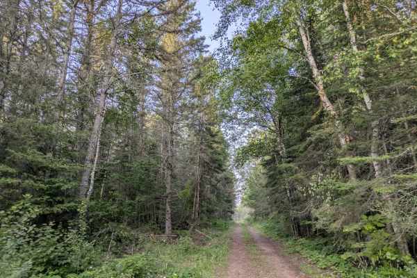
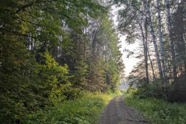
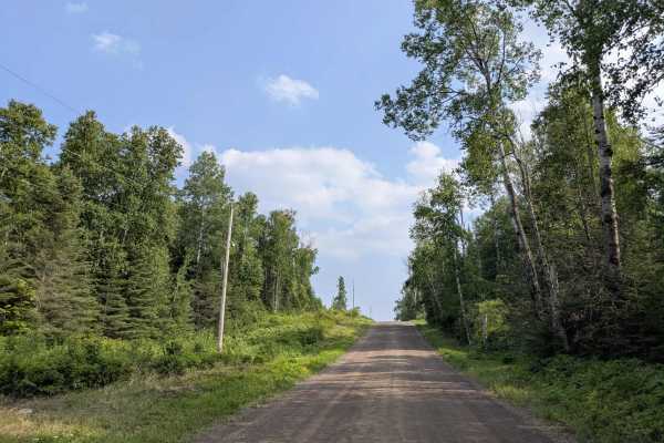
This trail is a well-maintained red and brown gravel road that winds through forested terrain. The surface is mostly smooth, though there are sections with some corrugation, particularly on the inclines and descents. Drivers should remain attentive, as local traffic is common along this route. The trail passes by several small lakes, adding visual interest to the drive. All offshoot trails along the way have been deliberately closed off, limiting access to side routes. The main trail leads to both Homer and Brule Lakes, which are well-known entry points into the Boundary Waters Canoe Area Wilderness. These lake access points are popular with canoeists, and during our visit, over 30 vehicles were parked in the designated lots. While the parking areas are equipped with toilets, there are no additional facilities available. The trail itself does not offer any dispersed or formal campsites, and travelers should note the absence of services such as trash disposal and potable water. Cell phone coverage may also be unreliable.
Difficulty
This forest trail is well-maintained and used daily by residents and adventurers. The route is wide and clear of debris, with established tread and minimal overgrowth, making it ideal for a smooth and scenic drive.
History
The Brule Lake Trail runs approximately 6.7 miles from the trailhead (Entry Point #78 off Forest Road 326) to the junction with the Eagle Mountain Trail near Whale Lake. Beyond that junction, it’s another 3.5 miles to the summit of Eagle Mountain, the highest point in Minnesota. The terrain features rolling landscapes and several scenic spots, including views of Fishhook Lake, Unnamed Lakes, and a crossing of the North Branch Cascade River.