Trail Overview
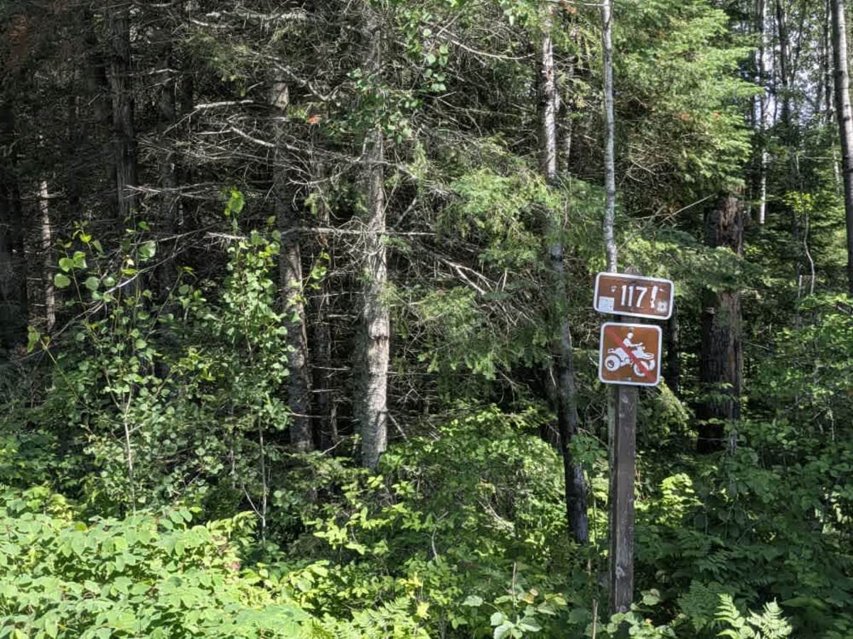
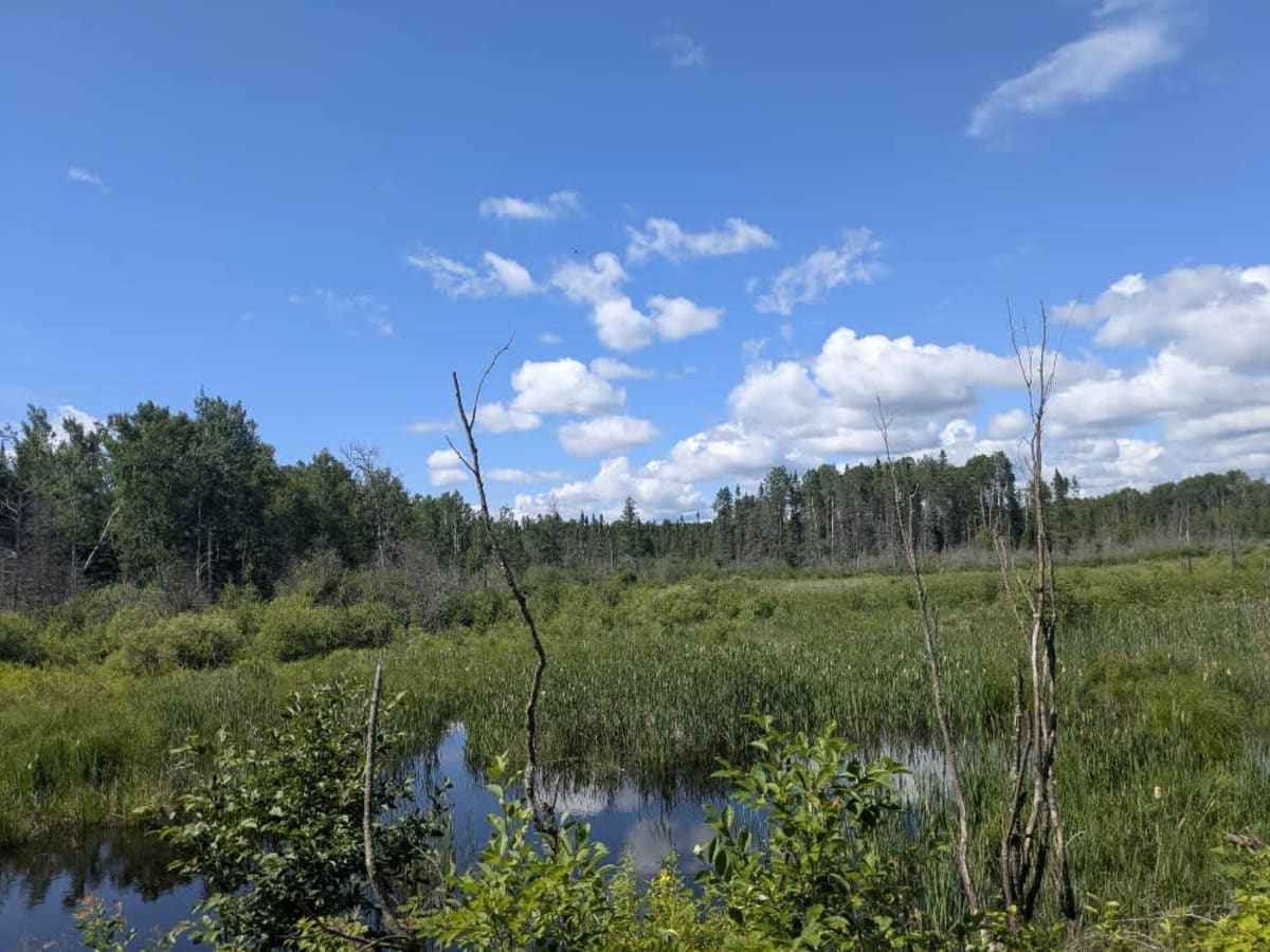
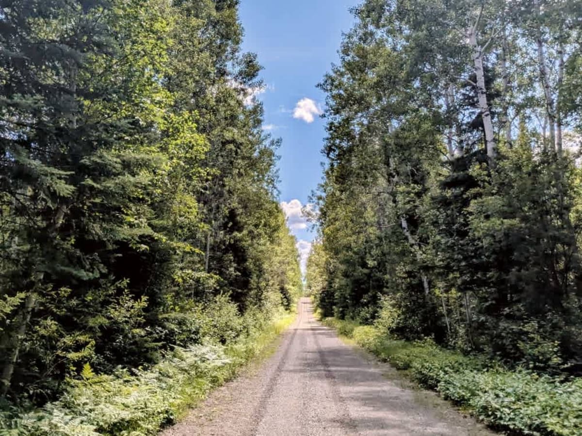
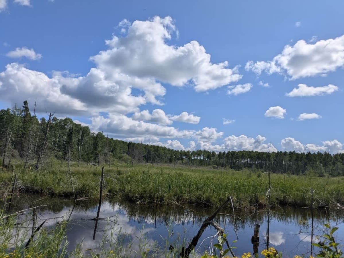
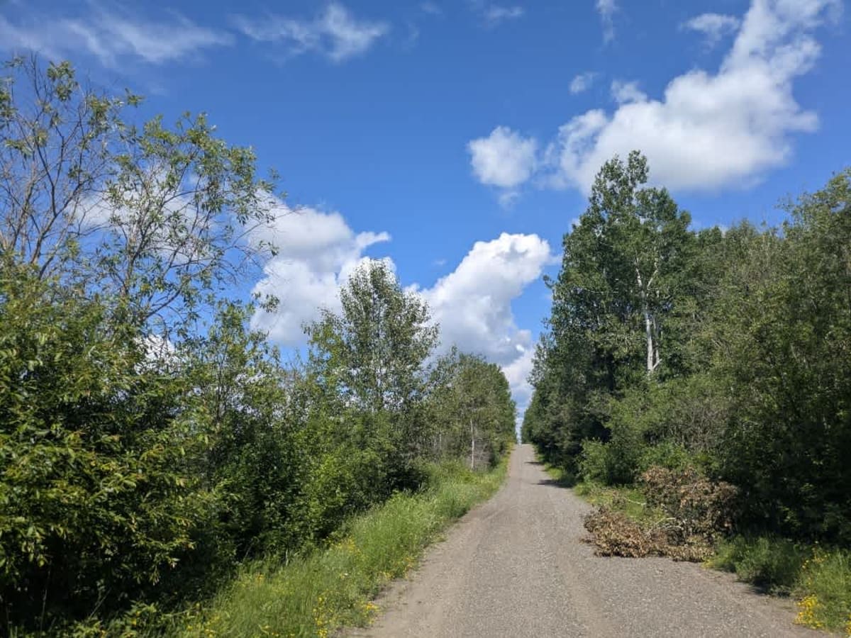
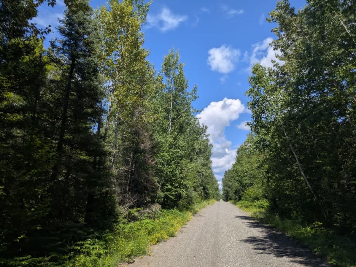
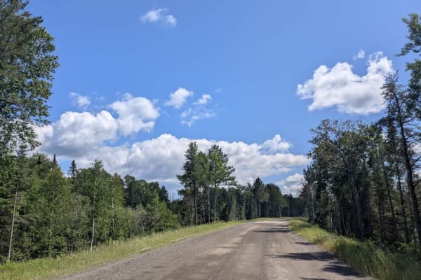
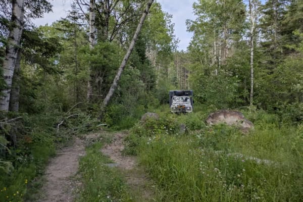
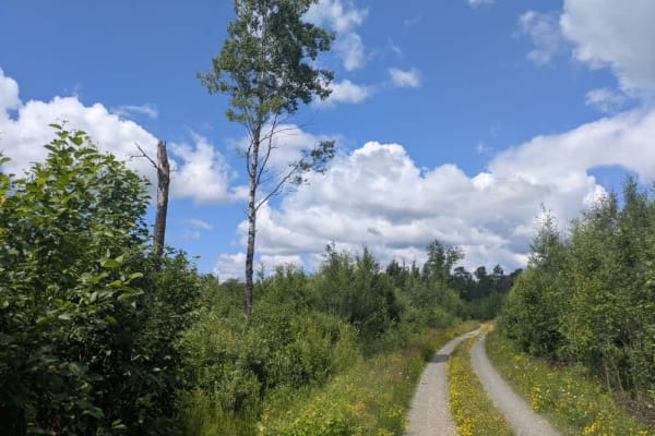
This trail, where ATVs are not permitted, begins by crossing a railway line and continues as a relatively well-maintained gravel road. It winds through a mixed forest of birch and pine, with a few gentle curves and gradual elevation changes. Along the way, the trail passes several small bodies of water, adding some scenic variety to the route. The main trail eventually ends at a turnaround area that also serves as a small parking spot. From here, a narrow path continues toward private property and is not suitable for further exploration. While there are no developed campsites along the route, dispersed camping is generally allowed in the Superior National Forest, as long as it is outside the Boundary Waters Canoe Area Wilderness. The trail does not offer any services or amenities, and visitors should be prepared for limited or no cell coverage. As always, those choosing to camp should follow Leave No Trace principles.
History
Superior National Forest was established in 1909 by President Theodore Roosevelt to protect the region's watersheds and natural resources after years of heavy logging and mining. The area has long been home to the Ojibwe people, who continue to maintain cultural ties to the land. In 1978, the Boundary Waters Canoe Area Wilderness within the forest was given added protection, making it one of the most visited wilderness areas in the U.S. today.