Trail Overview
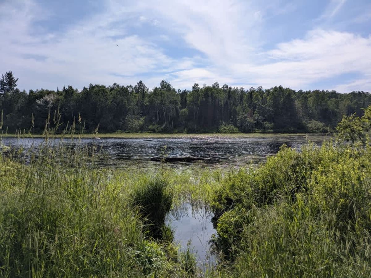
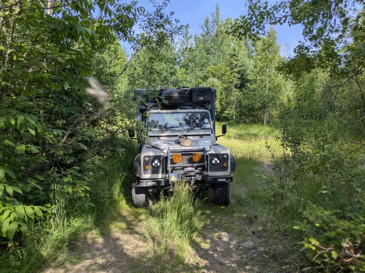
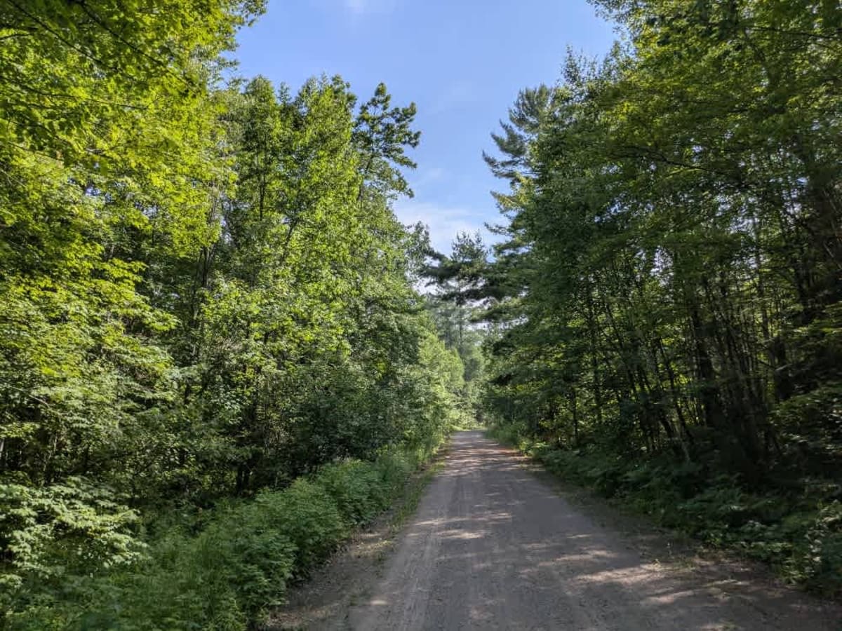
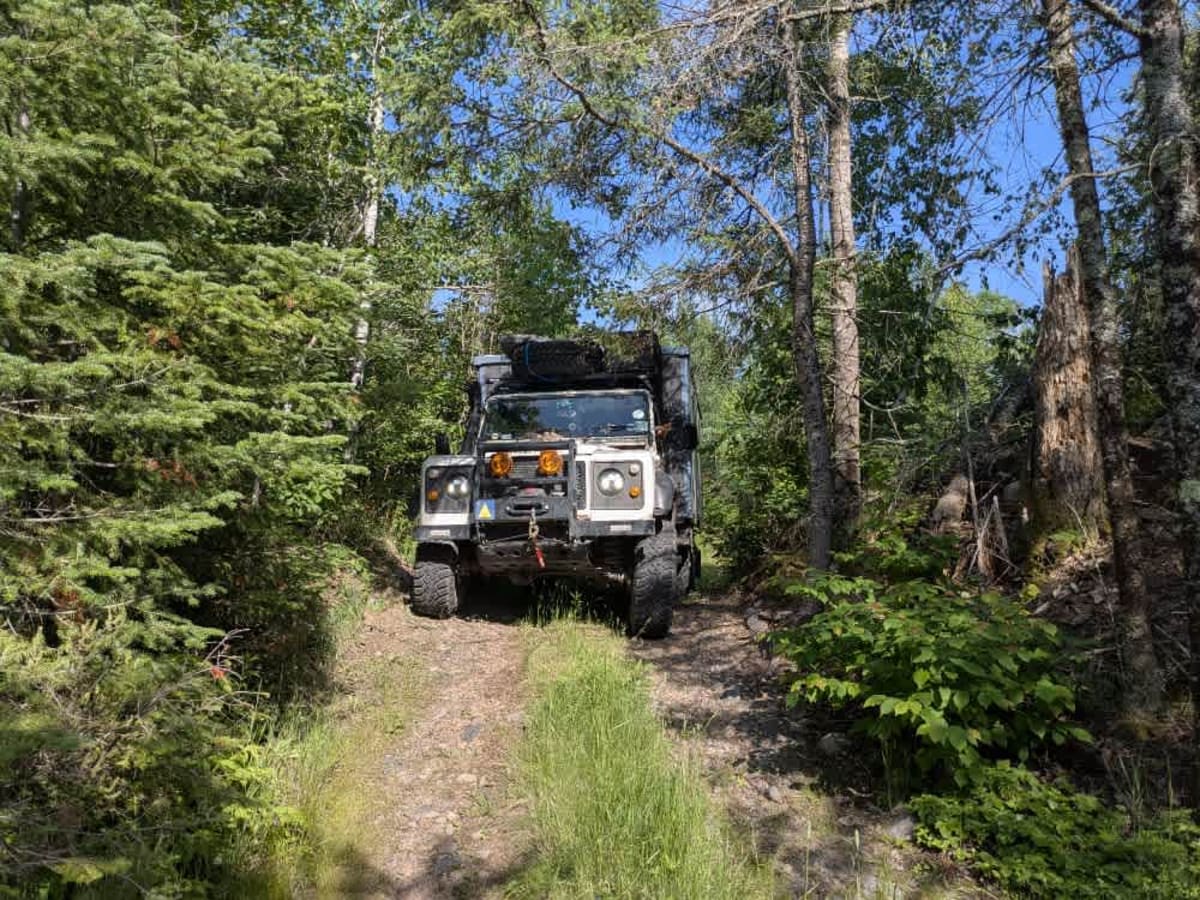
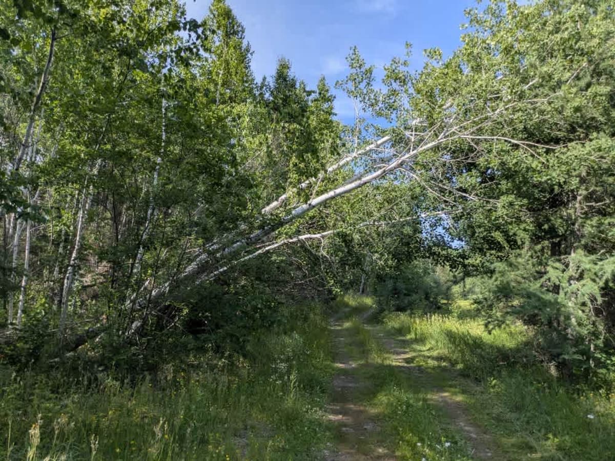
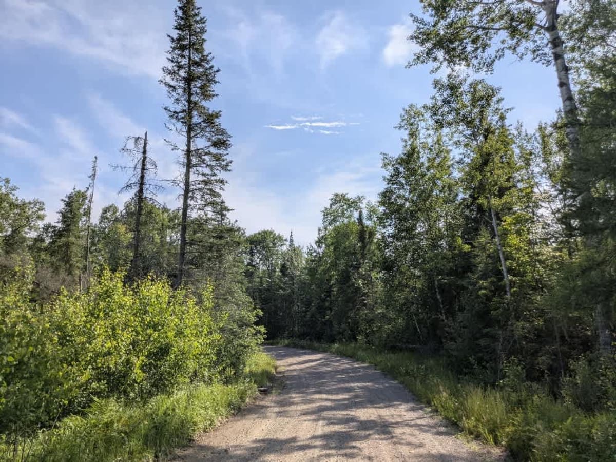
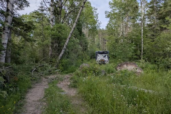
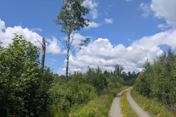
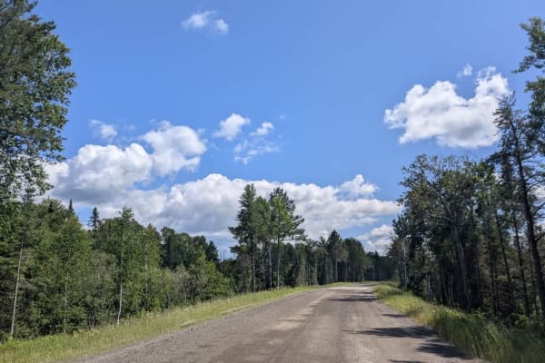
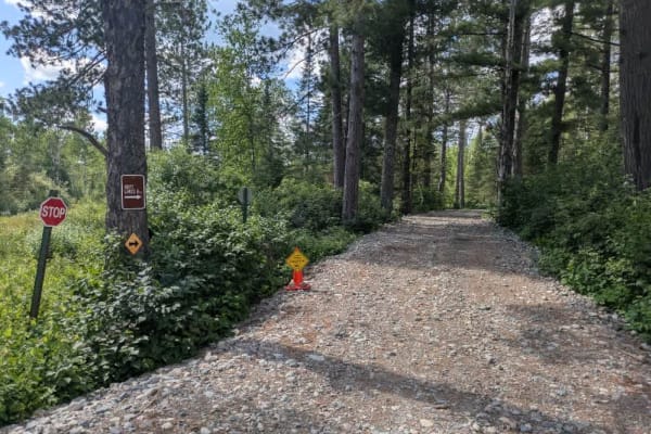
This trail begins as a smooth and gentle gravel road that winds downhill through the forest, gradually making its way toward the St. Louis River. The initial section is easygoing and well-suited for most vehicles, but as you approach the end of the maintained portion, the trail's character changes. A cleared area provides space to turn around or park before the road narrows and becomes more technical. From that point, the trail becomes tighter, with winding turns, rocky surfaces, and a noticeable hump that must be driven over to reach the river's edge. The final clearing by the water is uneven but accessible, featuring a basic fire ring. While the spot is scenic and peaceful, it is also home to plenty of black flies, so be prepared. The site offers good potential for dispersed camping and fishing. Dispersed camping is generally allowed in the Superior National Forest, provided you stay outside the Boundary Waters Canoe Area Wilderness and confirm current regulations with local authorities. There are no services or amenities along the route, and cell reception may be unreliable. Campers should be sure to follow Leave No Trace practices.
History
Superior National Forest was established in 1909 by President Theodore Roosevelt to protect the region's watersheds and natural resources after years of heavy logging and mining. The area has long been home to the Ojibwe people, who continue to maintain cultural ties to the land. In 1978, the Boundary Waters Canoe Area Wilderness within the forest was given added protection, making it one of the most visited wilderness areas in the U.S. today.