Trail Overview
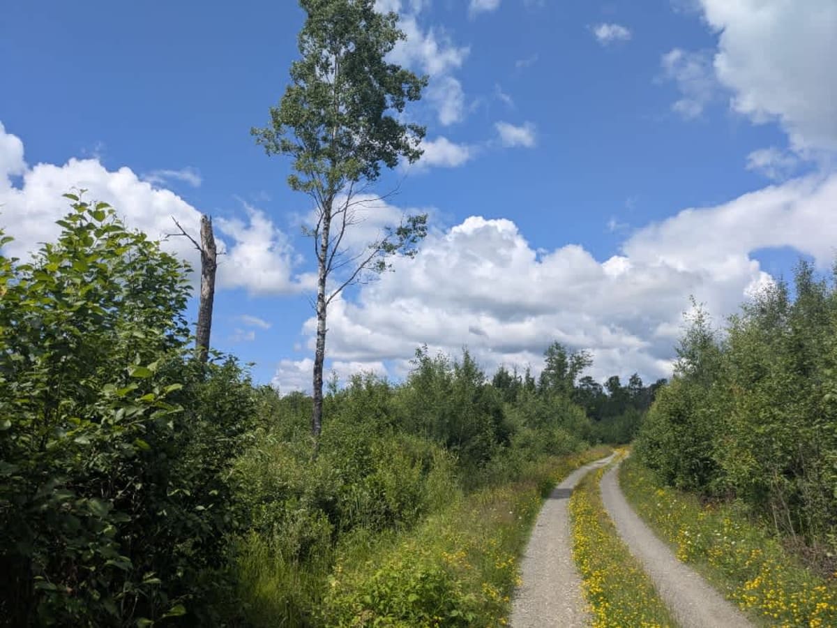
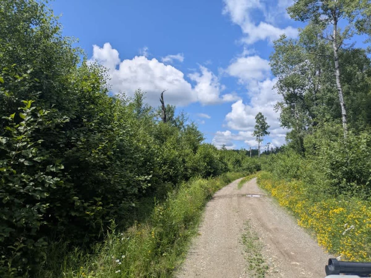
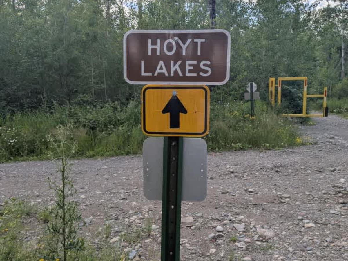
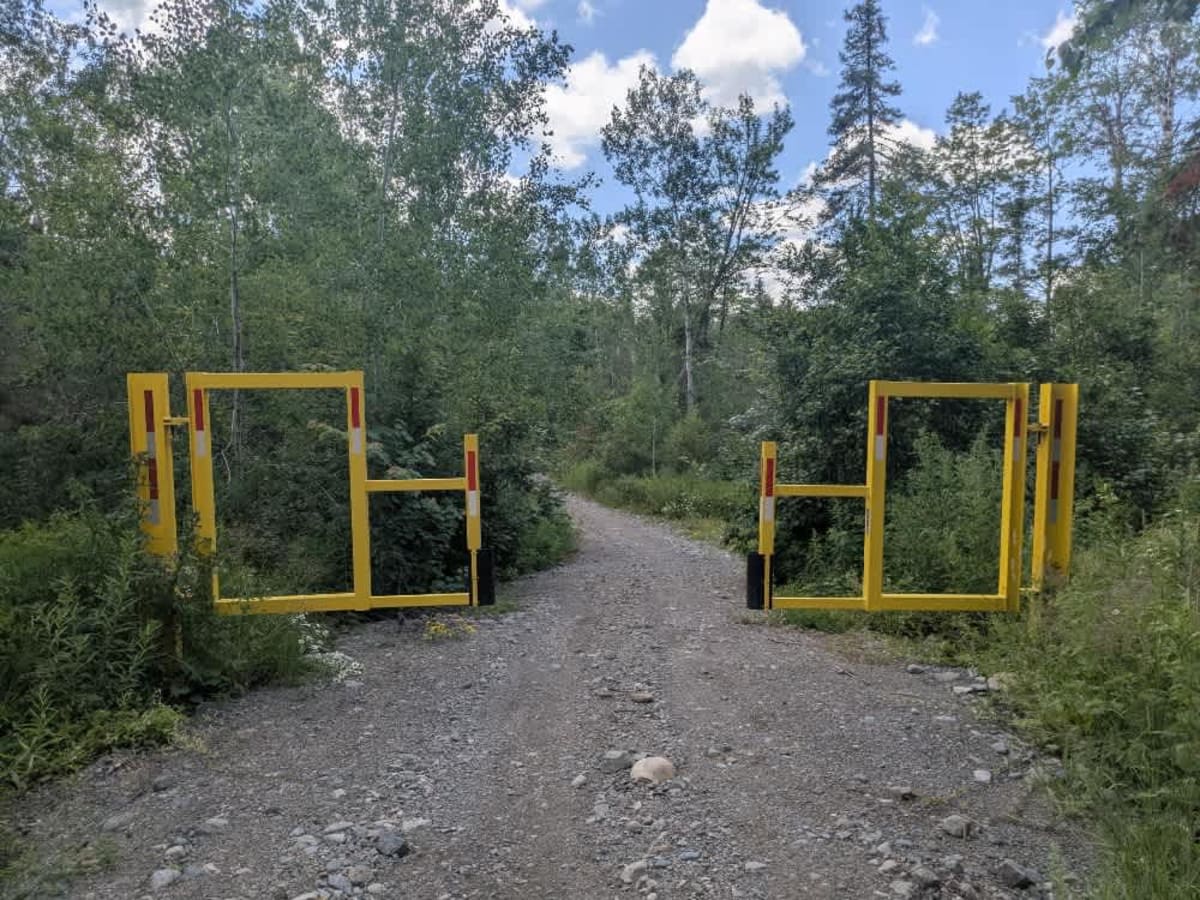
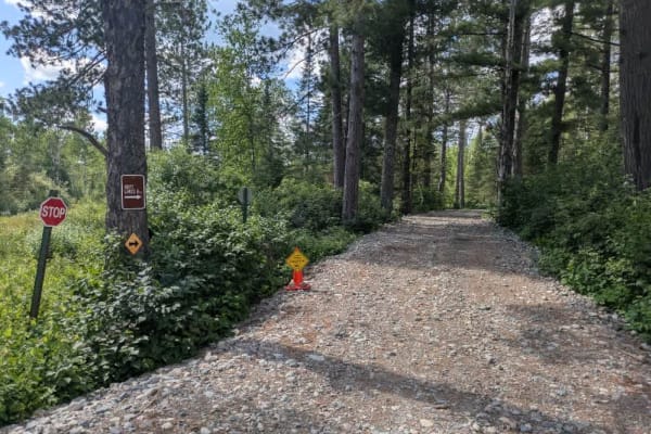
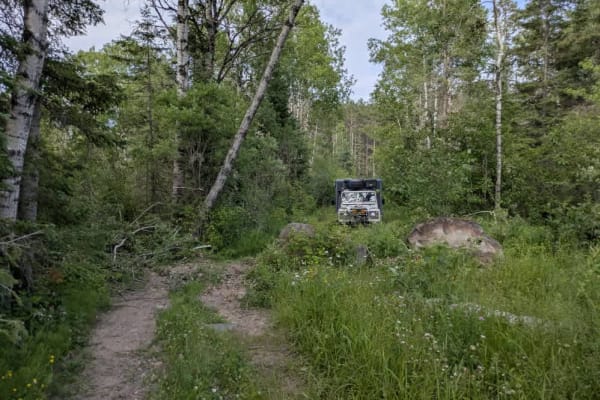
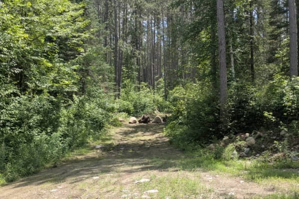
Also referred to as the St. Louis River Trail, this route begins just off Highway 110 and winds its way down toward the river. The trail is narrow and often uneven, with numerous wet patches and persistent bumps along the way. It passes through a forested landscape dominated by birch and pine, creating a shaded and somewhat enclosed feel. Along the route, the Skibo Trail branches off but is blocked to larger vehicles by prominent yellow barricades. Continuing down the main trail, several smaller paths split off toward the river, and near the end, a few small structures--likely seasonal or hunting cabins--are visible close to the water. The trail terminates at a designated public water access point, where a turnaround area makes for an easy exit, though this section is known for being particularly buggy. Just before reaching the cabins, a side trail opens into a clearing that may be suitable for dispersed camping. While there are no formal campgrounds along this route, dispersed camping is generally allowed in the Superior National Forest, provided it remains outside the Boundary Waters Canoe Area Wilderness. The trail does not offer any amenities such as toilets, potable water, or trash facilities, and cell service may be limited or unavailable. Campers should be prepared to follow Leave No Trace principles.