Westman Lake Logging Route

Total Miles6
Technical Rating
7Difficult
Best TimeSpring, Summer, Fall, Winter
Trail TypeFull-Width Road
Accessible By
Open Trail Map

Trail Overview

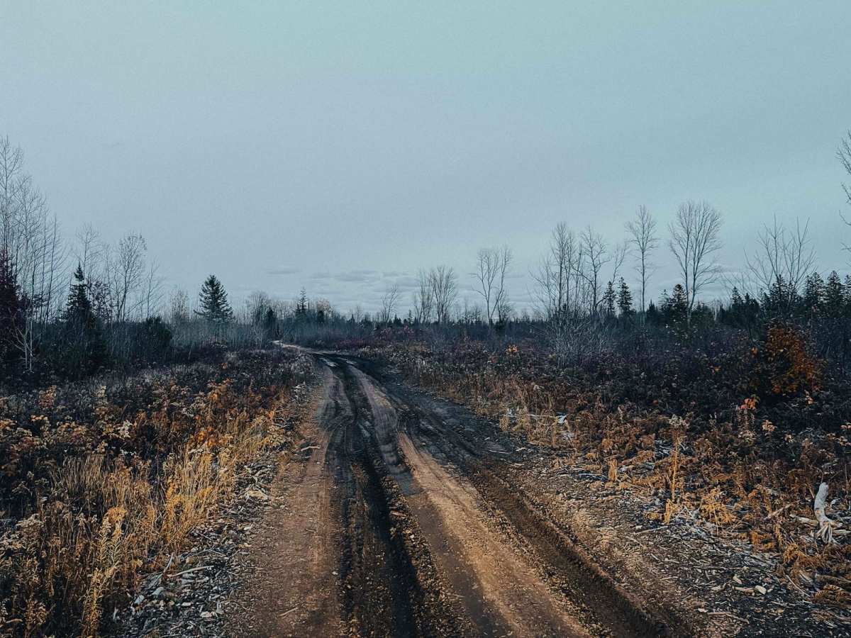
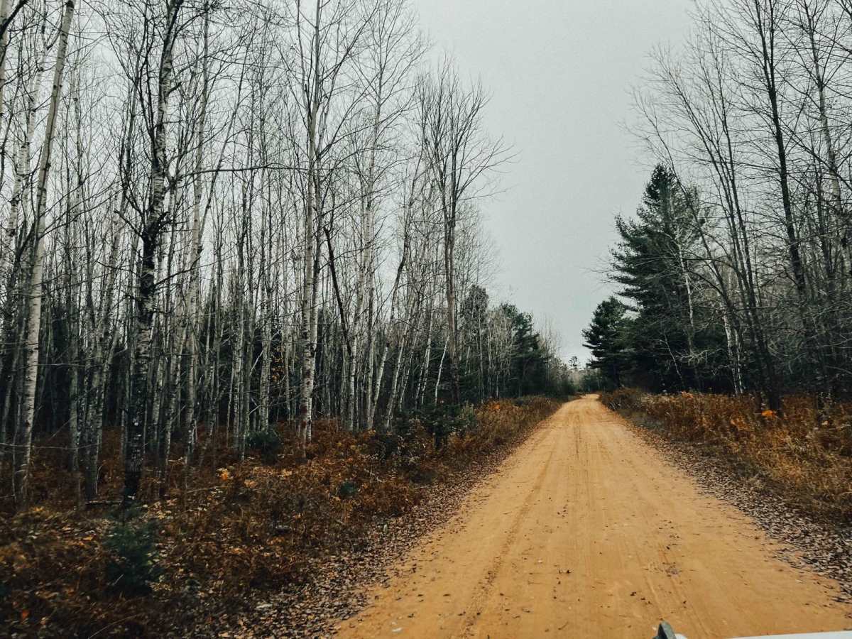
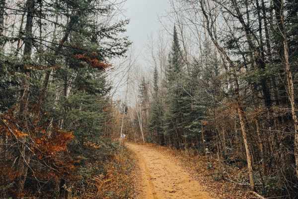
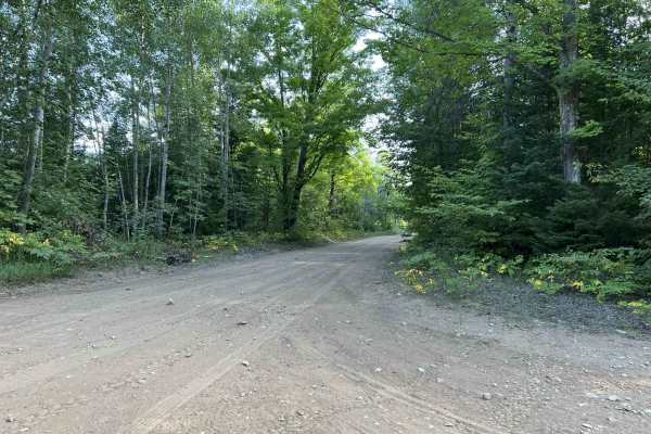
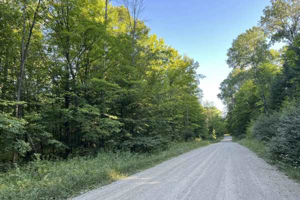
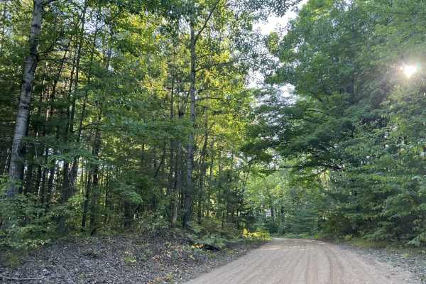
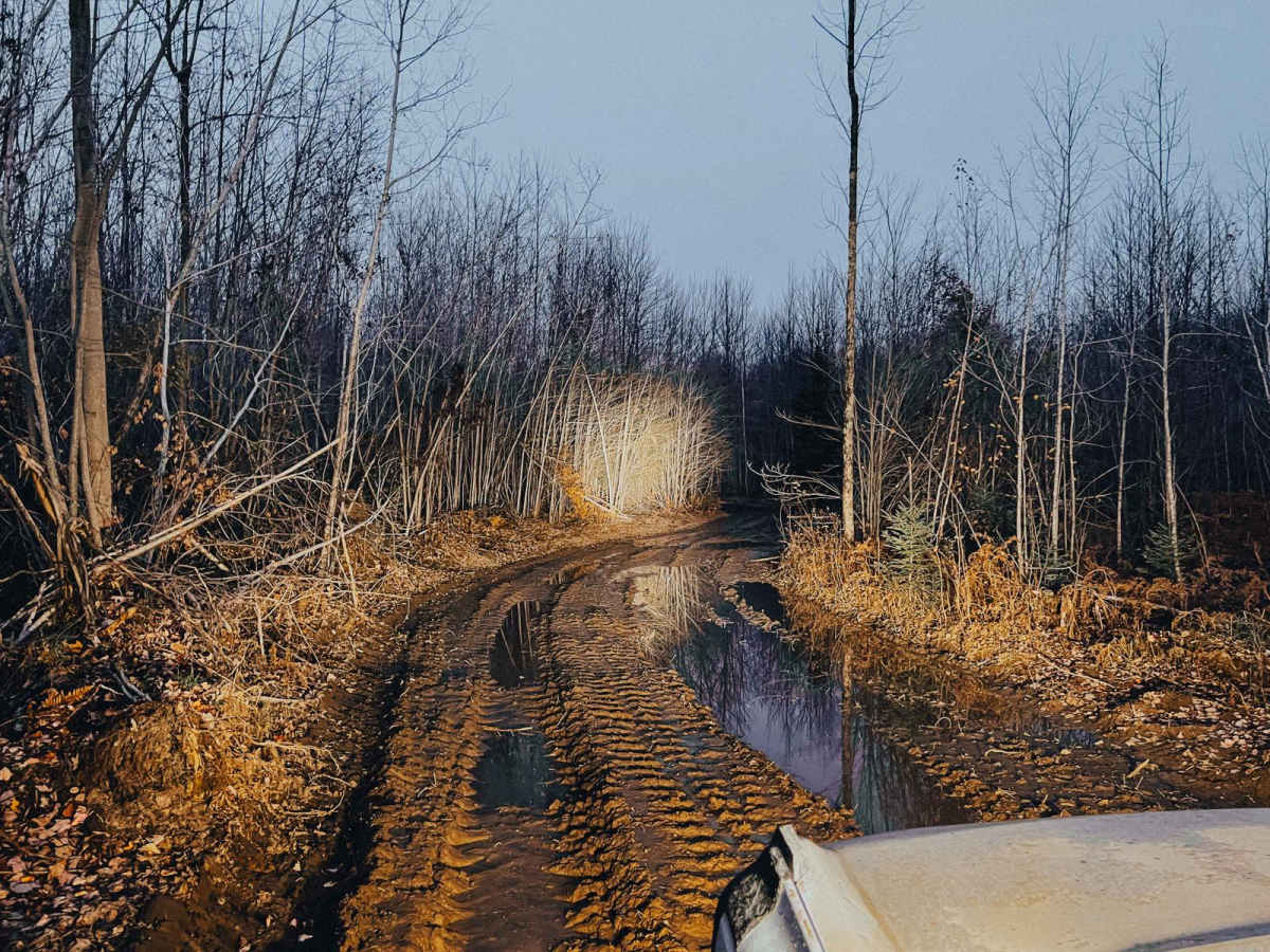
This route can be ran from either direction, both starting off Forest Service Road 14571. It does connect at both ends, however the easternmost connection can be very wet and very deep. The trail consists of sandy Forest Service roads with sections of washboarding. Running from west to east as it is mapped, the trail gets narrower and more difficult as you progress. It's plenty wide for full-size rigs and there are several offshoots to other trails. There is one primary camp spot on Westman Lake with three stone fire rings and room for lots of rigs. Use caution as active logging can be taking place.

Photos of Westman Lake Logging Route

Difficulty

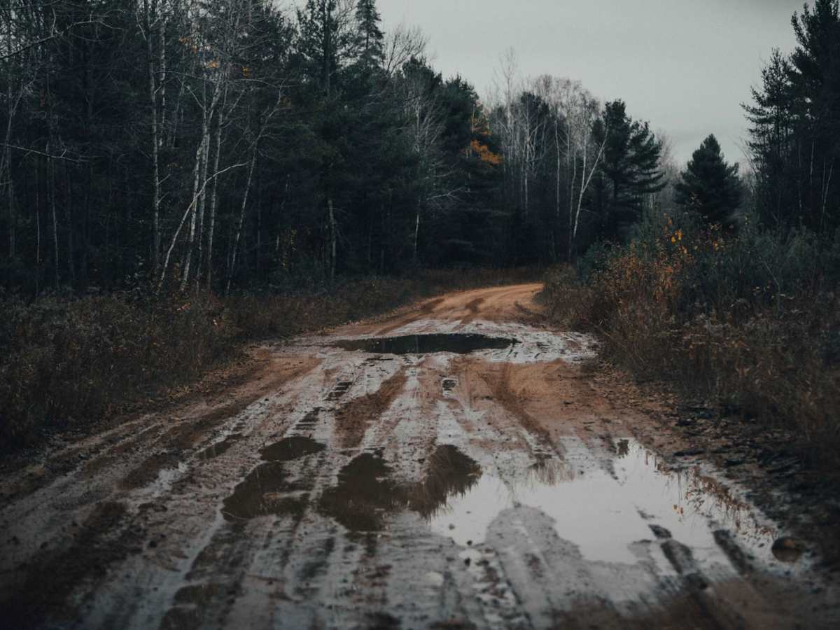
The difficulty rating is based off the single most difficult obstacle on the route; most of this route is a 2 or 3, however there is deep water and thick mud on the east end. Winches and recovery gear are highly recommended. At the time of submission (Fall 2023), water was to the top of 37-inch tires. The water is still, so you do not need to worry about current. It's swampy; but just because you can see grass, it does not mean you'll drive right over.

Technical Rating

7

Status Reports

Add Status Report
Anthony
Aug 24, 2026
2024 Ford Ranger FX4
Open
Normal
Respectfully, this trail is a 3 at best like the other review said. I'm assuming that whatever difficult sections this trail did have are the parts covered in new rocks. This was a fun and easy trail. It was much easier and more pleasant to traverse than the green trail that connects each end (the green trail itself connecting to Hwy. M35). I did the majority of it in 2-hi. I only used 4-hi very briefly on a few very small uphill climbs. The only reason I did so is for some extra front-end traction as the trail is sandy and my truck likes to swing her hips sometimes. I would've been fine if I didn't use 4-hi and don't believe you'd need 4x4 in good, dry conditions. Anyways, stop at the little loop to Westmon Lake. It offeres a very pretty view. Lastly, I did this trail when it was dry. It may become a lot more challenging if it is wet or after heavy rain.
Caleb Griesbach
Aug 17, 2026
2021 Yamaha YXZ1000R
Open
NormalDusty
Trail is currently being logged, so there is a good amount of forestry equipment in the area. The wet spot present in the mapping of the trail has been filled in along with many other of the low spots. Trail difficulty would be a 3 due to the width.

Westman Lake Logging Route Trail can be accessed by the following ride types:

  • 50 Inch
  • 60 Inch
  • High Clearance
  • Full Width

Westman Lake Logging Route Map

The onX Offroad Difference

onX Offroad combines trail photos, descriptions, difficulty ratings, width restrictions, seasonality, and more in a user-friendly interface. Available on all devices, with offline access and full compatibility with CarPlay and Android Auto. Discover what you're missing today!

Open Trail Map