Schuster Lane

Total Miles0.7
Technical Rating
2Easy
Best TimeSpring, Summer, Fall
Trail TypeFull-Width Road
Accessible By
Open Trail Map

Trail Overview

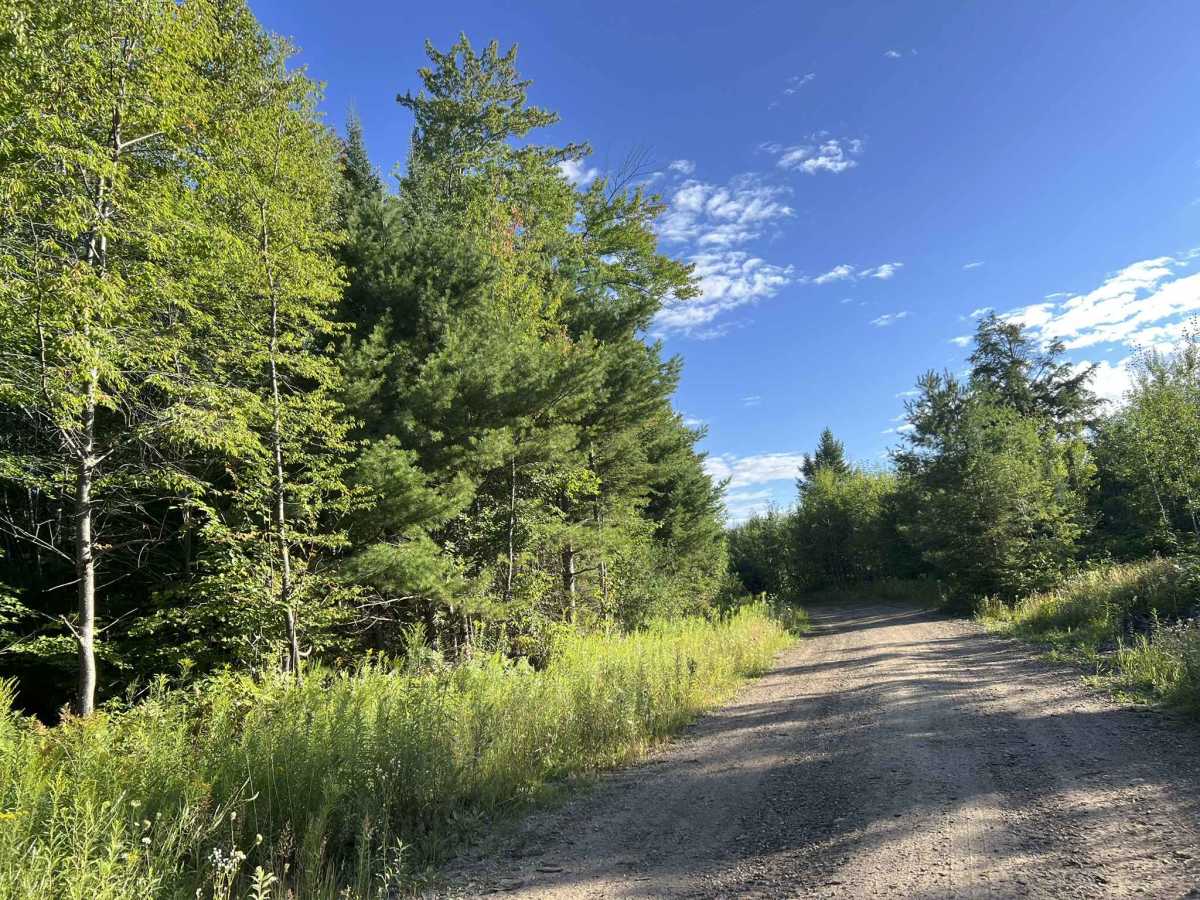
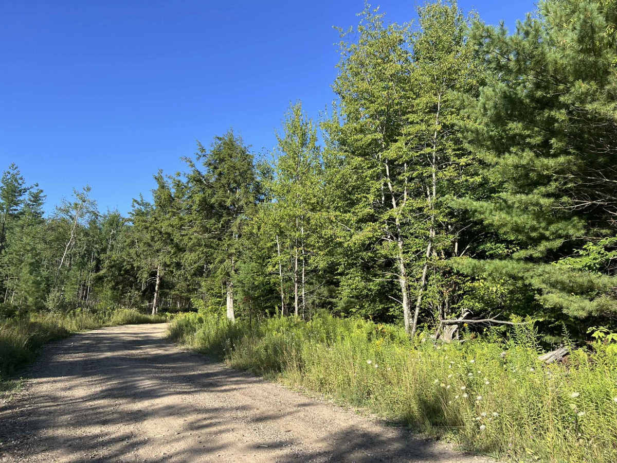
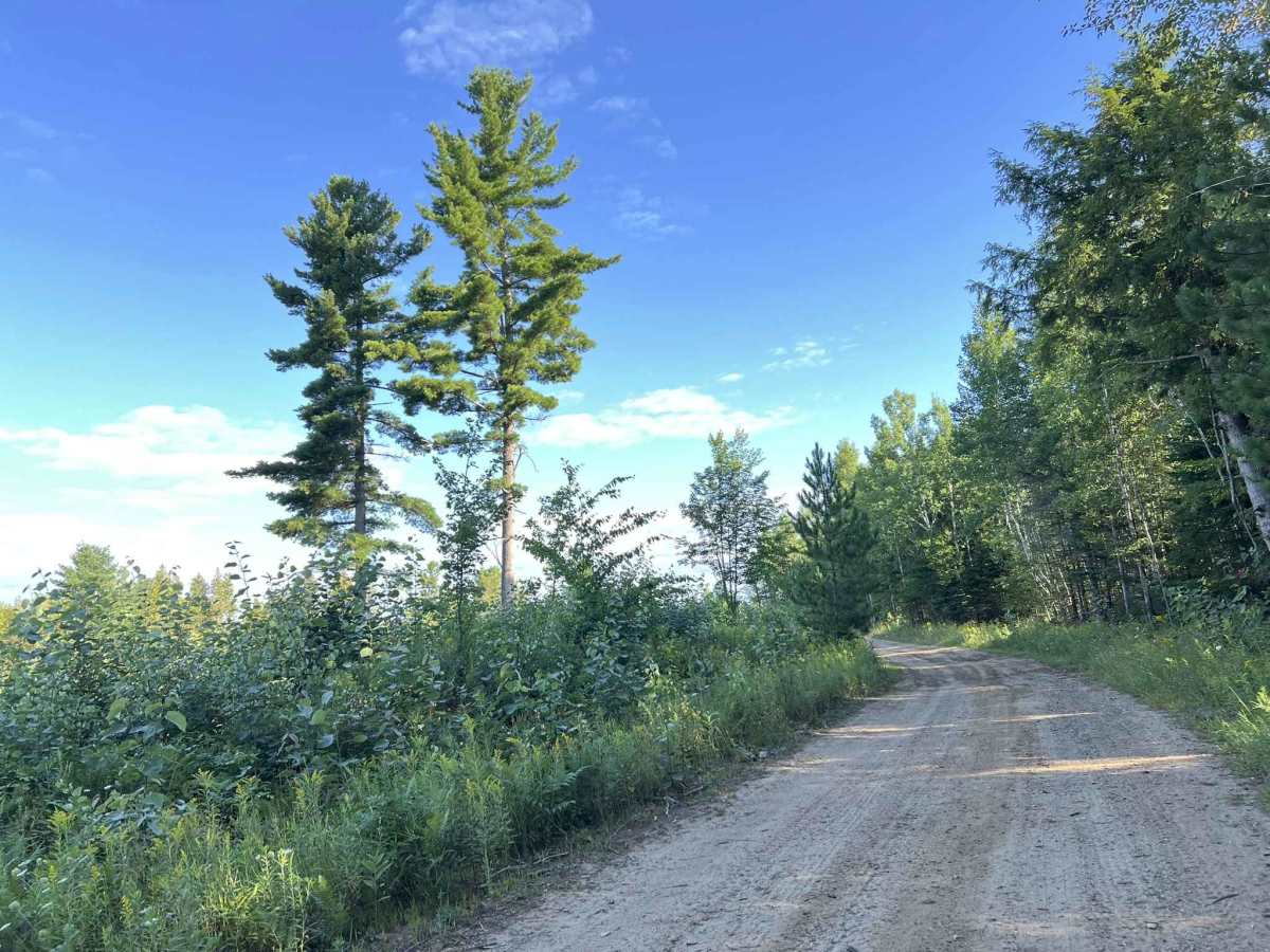
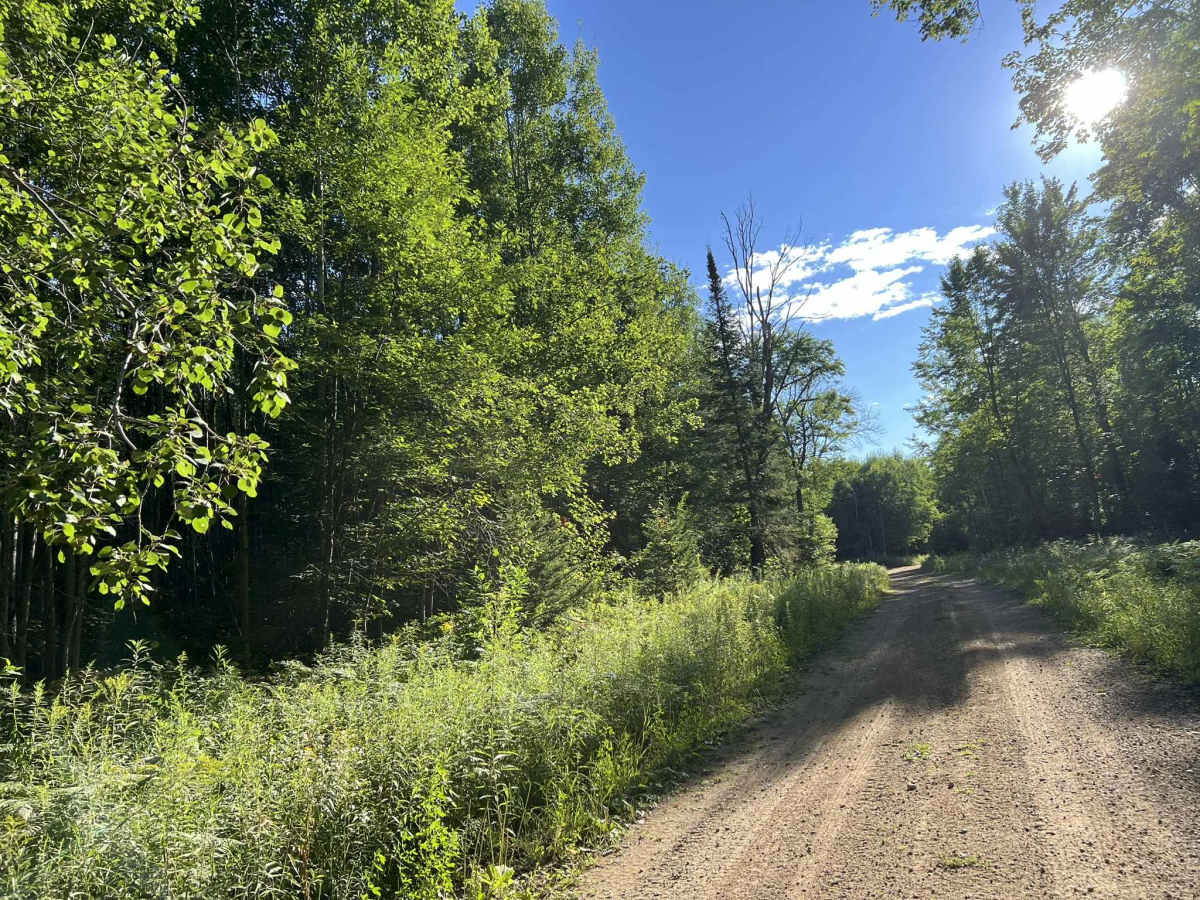
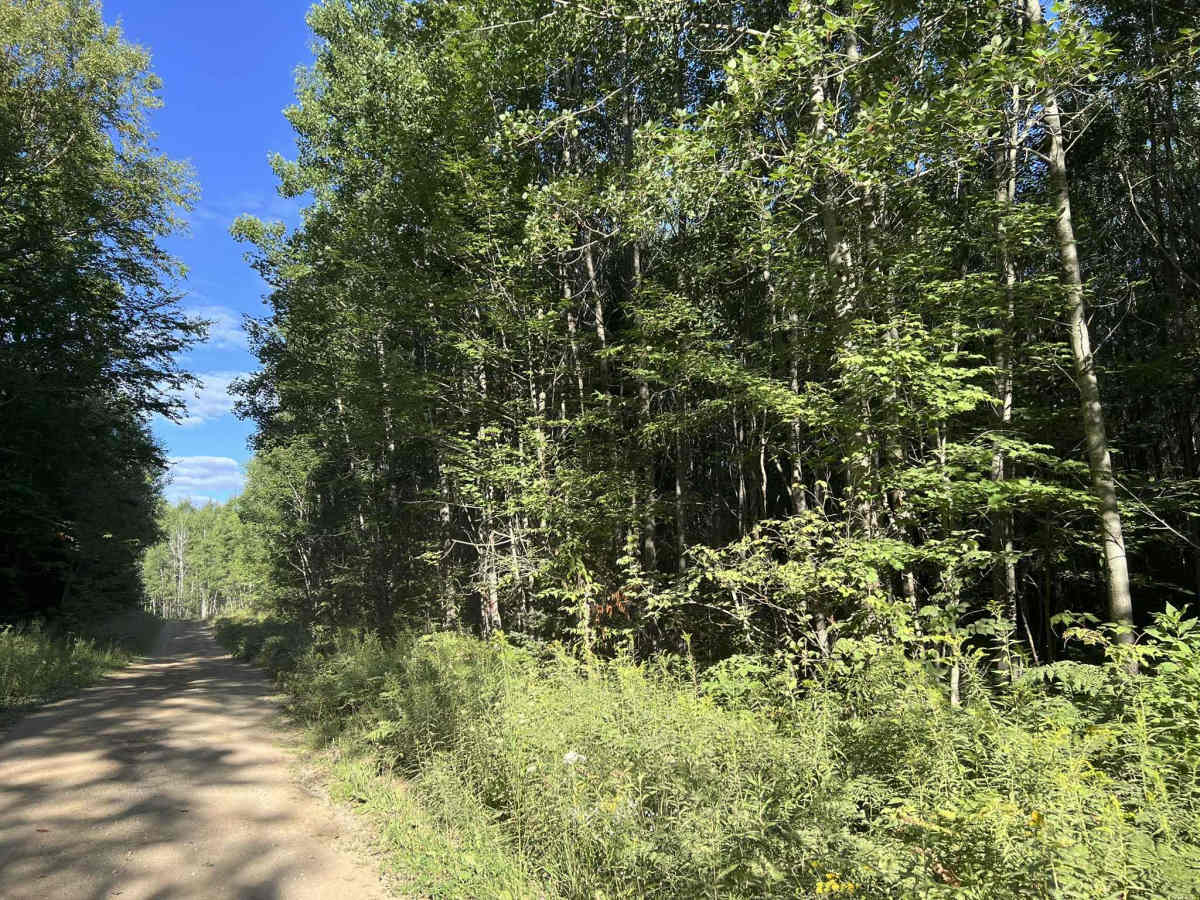
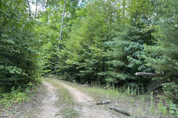
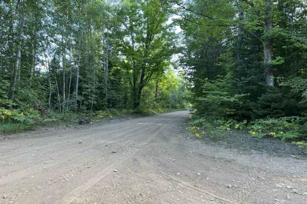
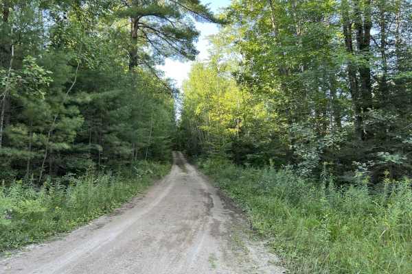
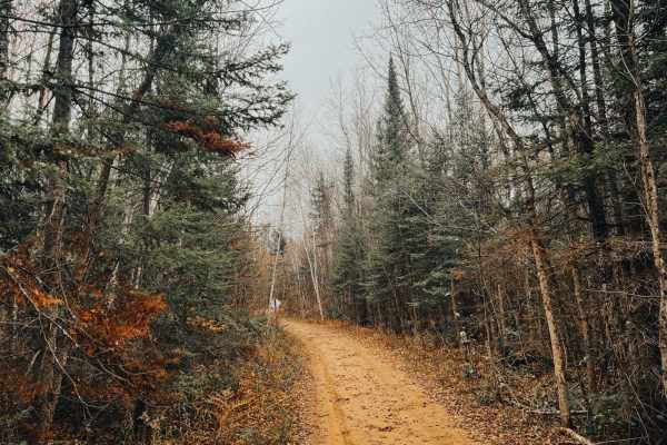
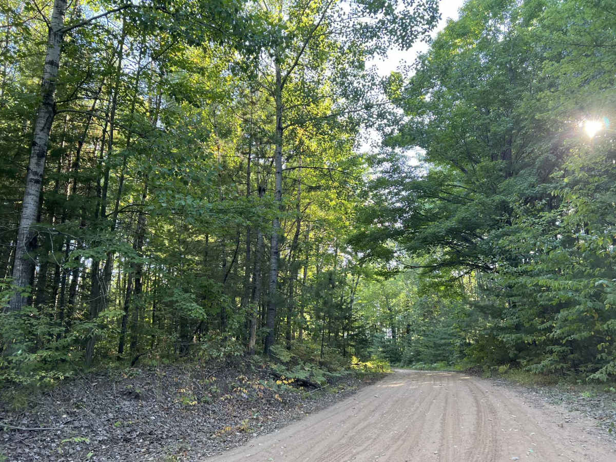
Schuster Lane is a short bypass trail that is used to connect the West side trails to the center trails within the Escanaba Forest Management Unit. This trail runs from its intersection with Westman Dam F1 to its intersection with Forest Road 13041. This is a short two-track trail which is best used to connect the west side trails with the center trail in order to avoid pavement routes which are otherwise required to connect the west and center trails when navigating north. This trail's surface is hard-packed sand, with some grass and other small brush that grows in the center. The trail is mostly flat with moderate sightlines throughout its length. The surrounding scenery consists mostly of mature pines and hardwoods. Cell service in this area is recommended due to the spotty nature of the service in the surrounding zones.

Photos of Schuster Lane

Difficulty

The trail can be easily navigated by all experience levels. The sandy base will challenge 4x4s or small crossovers with less power and less aggressive tires, but this trail is still easily completed by that category of vehicle. Sight lines across the trail are generally good, but can be obstructed at times by undergrowth along the trail's edges.

Technical Rating

2

Schuster Lane Trail can be accessed by the following ride types:

  • High Clearance
  • Full Width

Schuster Lane Map

The onX Offroad Difference

onX Offroad combines trail photos, descriptions, difficulty ratings, width restrictions, seasonality, and more in a user-friendly interface. Available on all devices, with offline access and full compatibility with CarPlay and Android Auto. Discover what you're missing today!

Open Trail Map