Trail Overview
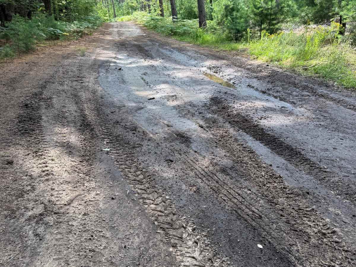
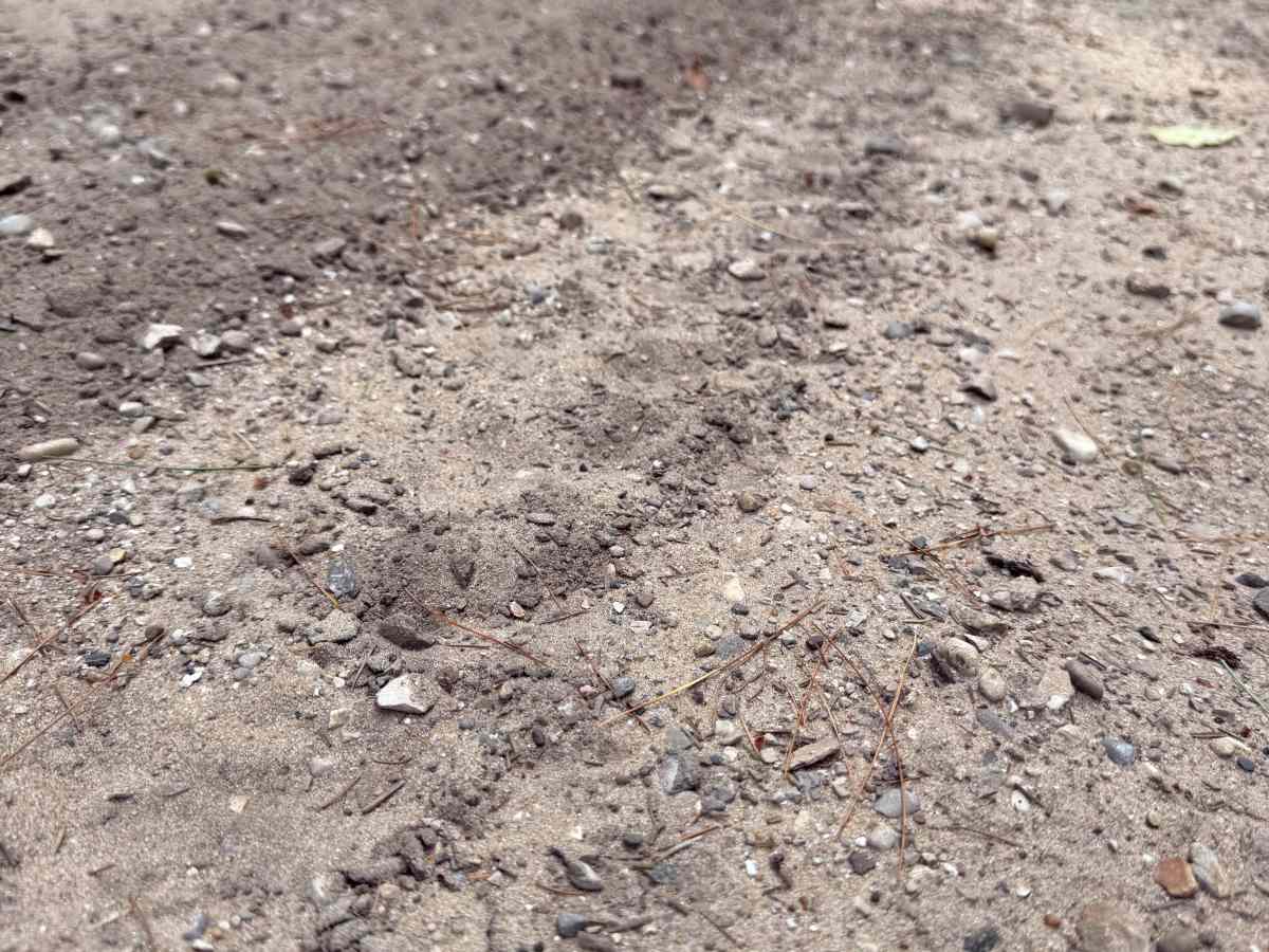
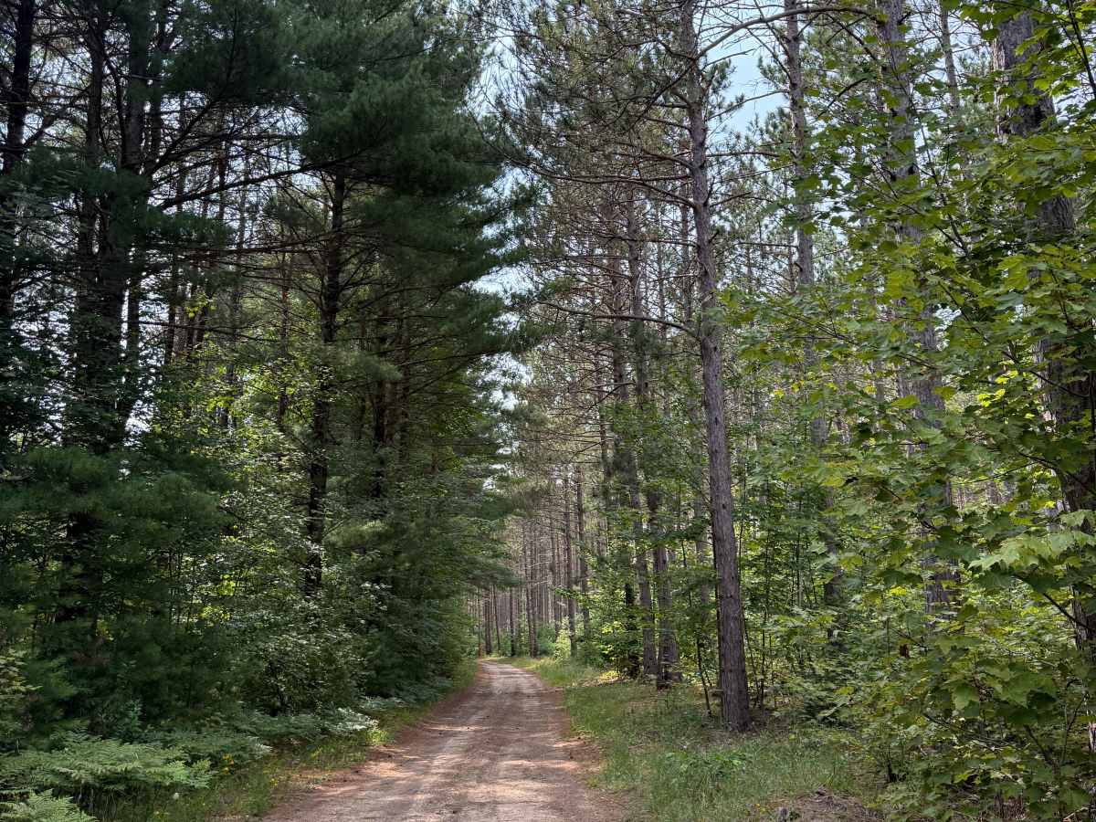
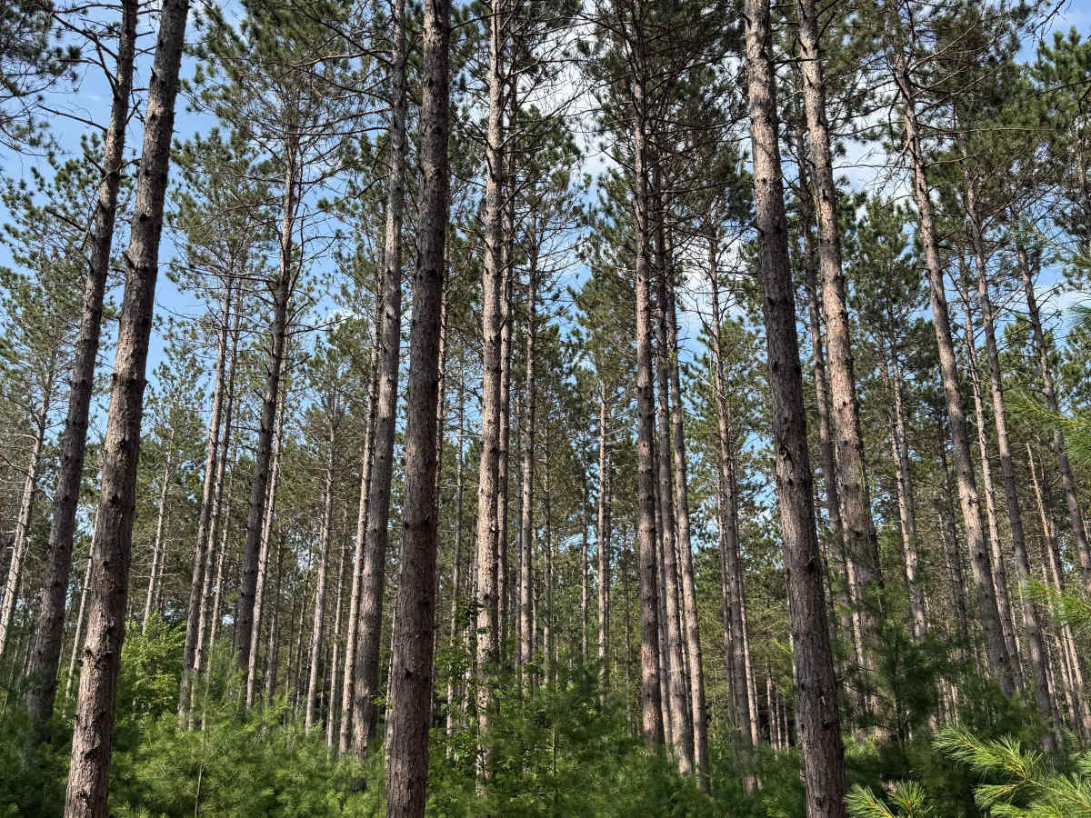
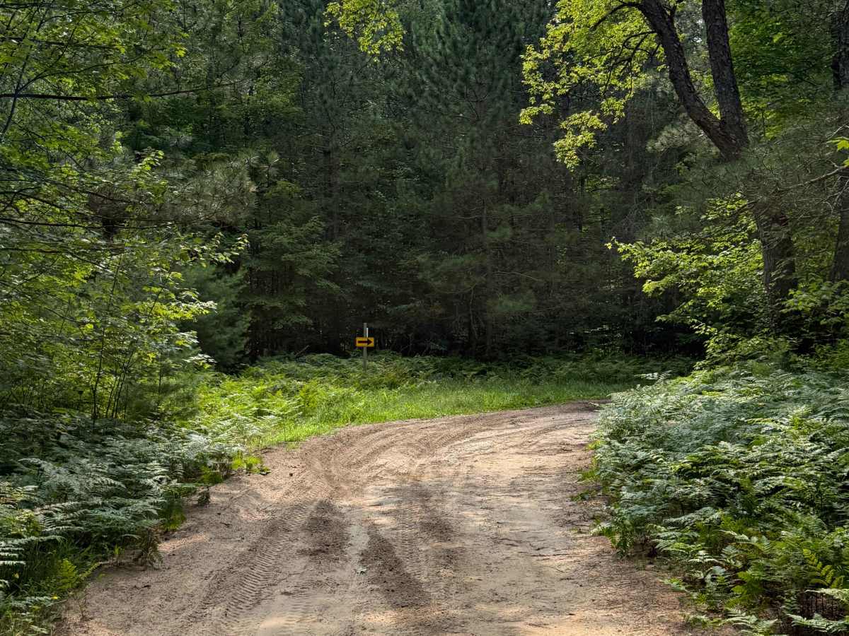
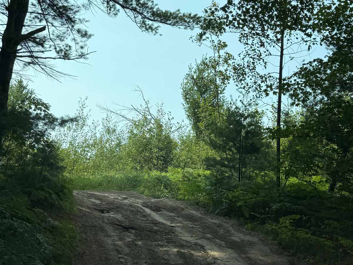
TR Trail is a seasonal bidirectional trail within the Traverse City Forest Management Unit. Located just southwest of Copemish, this trail is easily accessible. Starting on the east end, you'll begin in a beautiful section of towering Red Pine Trees on a soft, sandy surface. As you weave down the trail, you'll feel immersed in nature, as the tall trees continue to thicken. PLEASE TREAD LIGHTLY, and be respectful of our public lands so future generations can have access to these trails! As you continue along the trail, you may come across some washouts and/or mud holes. Like most Michigan trails, conditions are dependent on the weather. Recent rainfall can cause unfavorable conditions on the trail, including downed trees, mud holes, and washouts. Come prepared. Most of this trail is only wide enough for 1 vehicle with very limited places to pass. At the 0.3 mile mark, you'll come upon a short sandy hill. This isn't a difficult spot, but just something to be noted. This is not a difficult trail at all, but it contains a lot of natural beauty and gives access to other great trails nearby. The west end of the trail finishes at Tomasek Road. Regardless of the length or conditions, this is a great trail!