Trail Overview
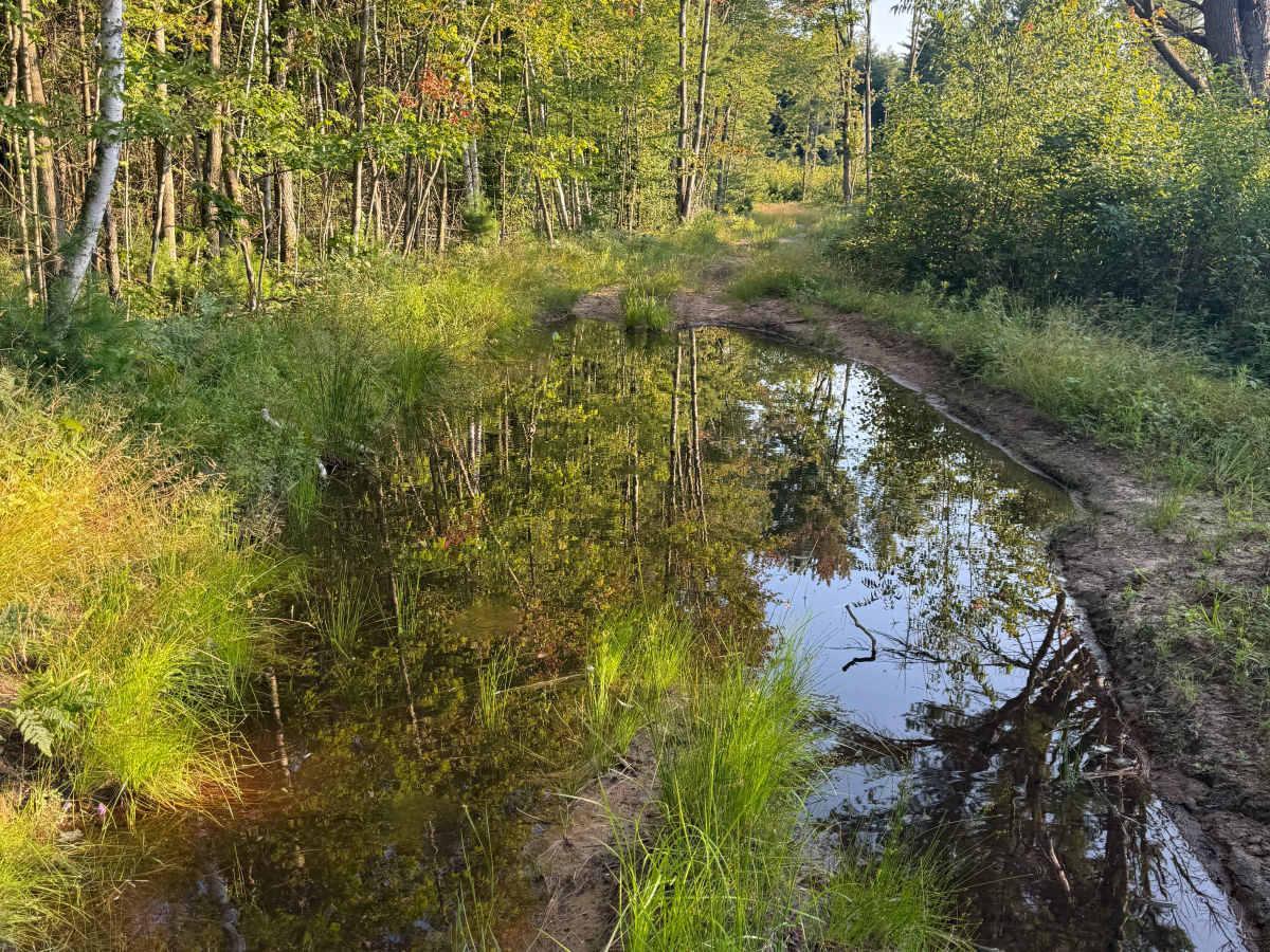
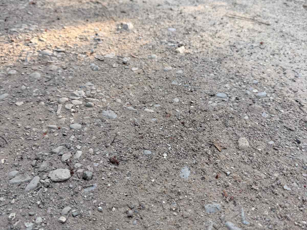
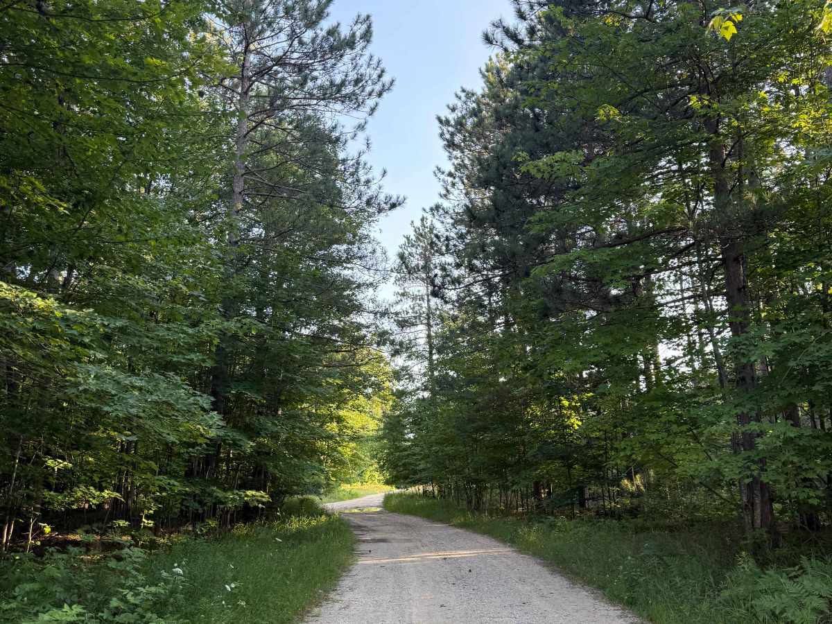
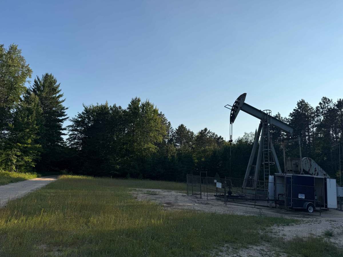
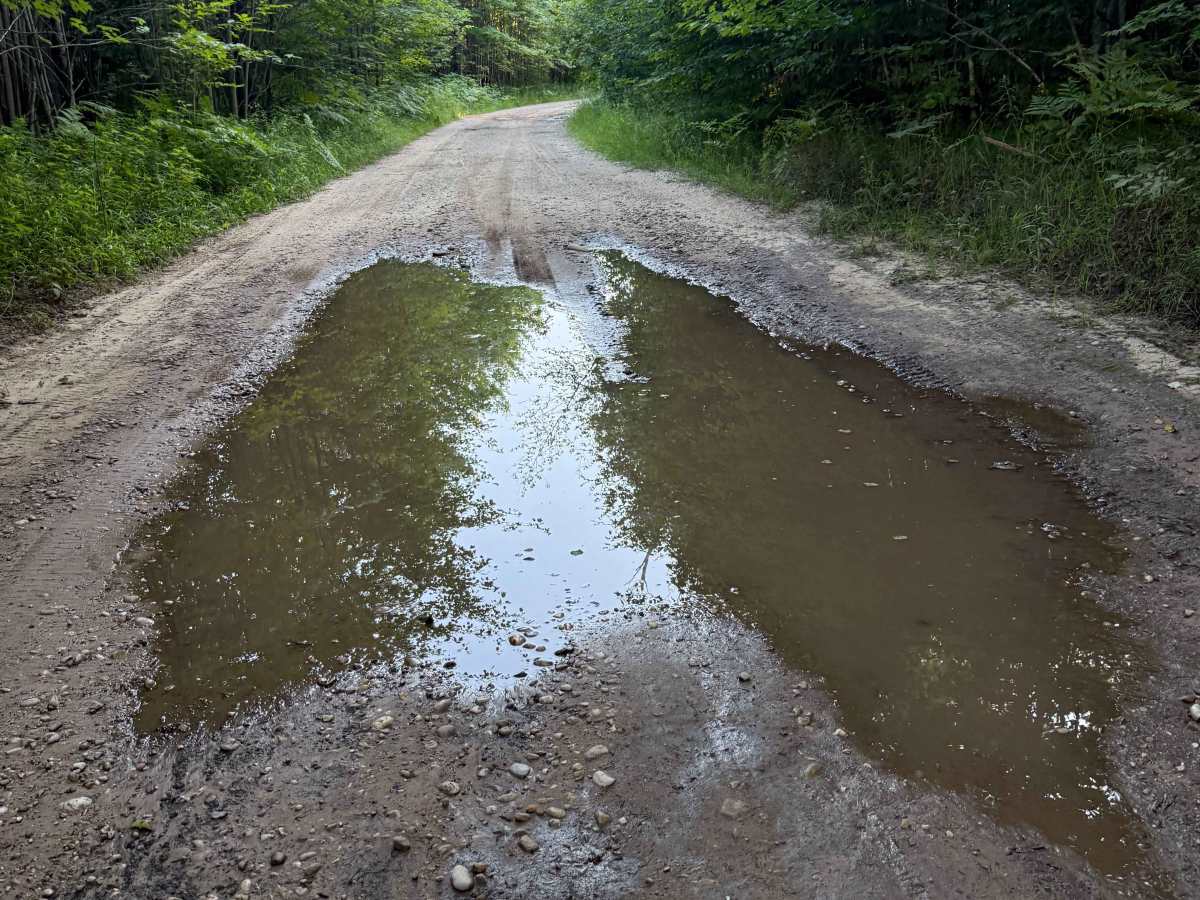
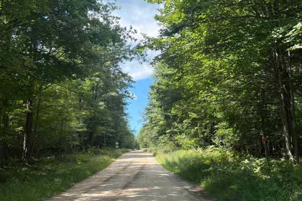
Plagany-Cedar Trail is a seasonal trail within the Traverse City Forest Management Unit. Located off 13 Mile Road on the south end or Plagany Road on the north end, this trail is easily accessible. Starting from the northern end, you'll begin on a dirt/gravel track within the elegant forest. 0.4 miles into the trail, you'll come across an oil drilling site. As you continue down the trail, things begin to tighten up with more overgrowth and harsher trail conditions. You will come across several washouts and/or mud holes. More specifically, beginning around the 1.0 mile marker. Even during a dry season, these spots can cause lots of trouble. It only continues to worsen as you go. Like most of Michigan's trails, conditions are dependent on the weather. Recent rainfall can cause unfavorable conditions on the trail, including downed trees, mud holes, and washouts. Come prepared. Most of this trail is only wide enough for 1 vehicle with limited places to pass. At mile marker 1.9, the trail appears to have once continued straight here, but is no longer accessible. Instead, now the trail makes a sharp left into a mud hole and continues. This mud hole can cause trouble. Use caution here. This mud hole and the other conditions leading up to this point are what give this trail rating a 4. PLEASE TREAD LIGHTLY, and be respectful of our public lands so future generations can have access to these trails! The southern end of the trail finishes off Cedar Road at 13 Mile Road. This trail can be tricky and tough, especially after inclement weather and conditions.
Difficulty
This trail was given a technical rating & difficulty of 4 due to the mud holes and obstacles being up to 18 inches, as well as being typically one vehicle wide with limited places to pass. The mud along this track is VERY sticky and will suction tires to it, making this trail more difficult than most others in the area. Use caution and be prepared before attempting this trail.
History
Oil and gas exploration in the Traverse City region and nearby state forest units accelerated during the 1970s Niagaran reef boom, centered across a band spanning Manistee, Grand Traverse, and Kalkaska counties. Major energy companies like Shell and Amoco established local hubs, utilizing advanced seismic testing to locate deep, narrow underground reefs. Today, most of these sites are unused, but not all.