Trail Overview
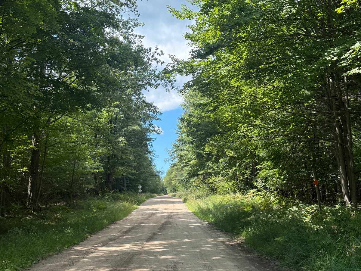
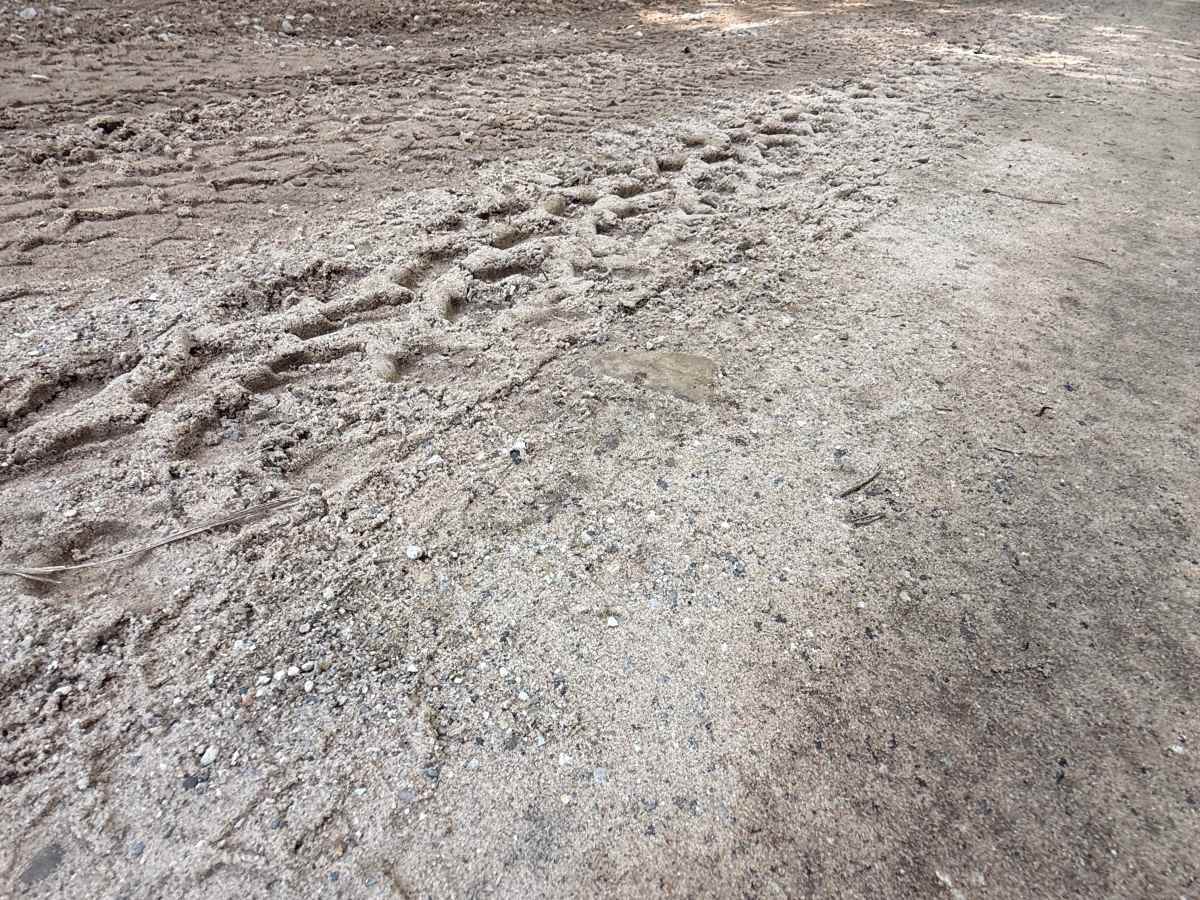
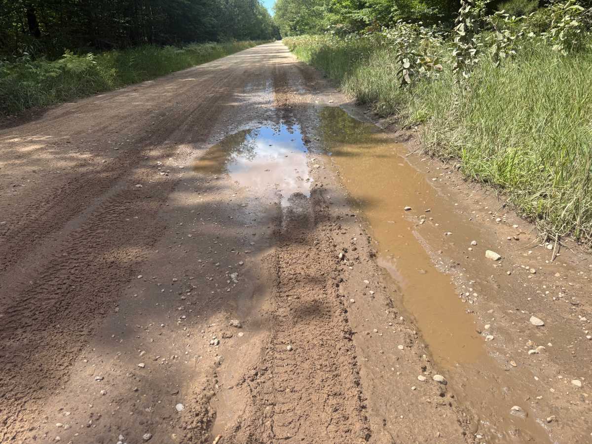
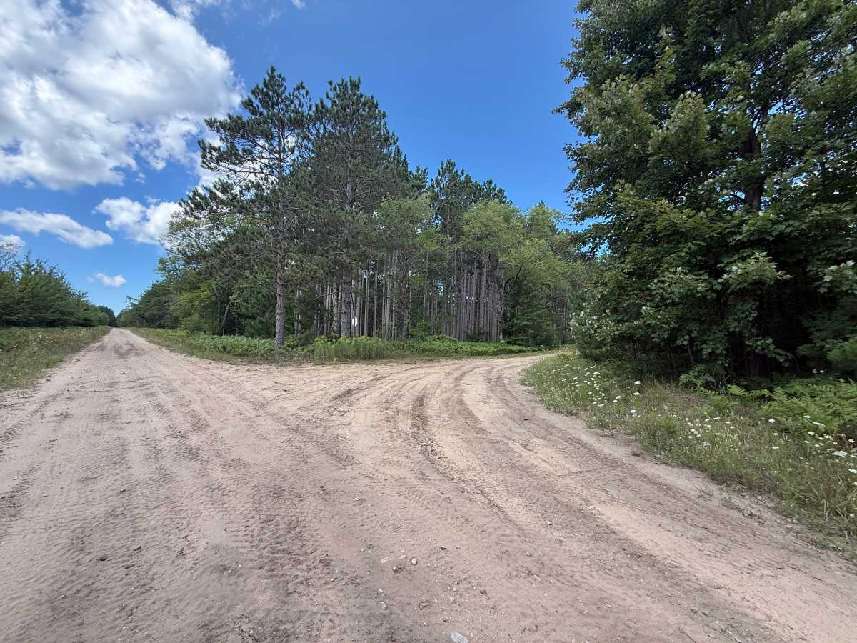
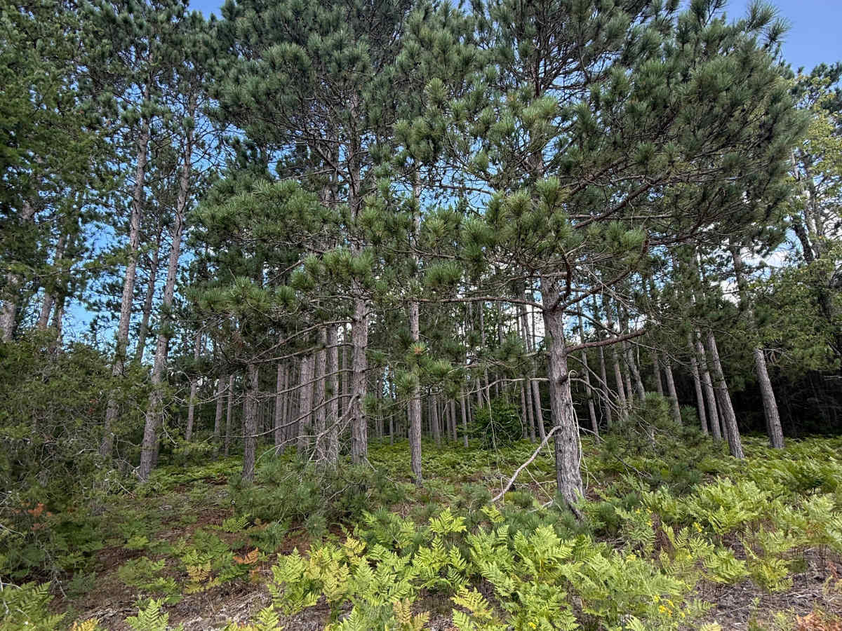
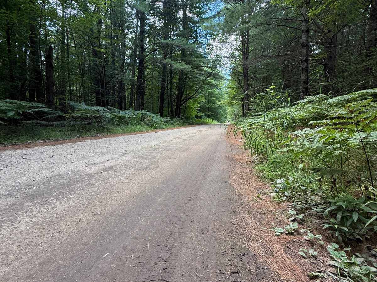
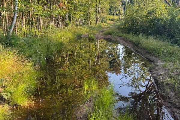
Plagany Trail is a 1.8-mile bidirectional off-road trail within the Traverse City Forest Management Unit. This trail is located between Thompsonville Road and 3rd Creek Trail and is easily accessible whether you are at the beginning or end of your adventure. Starting out, you'll begin on a sandy, gravelly dirt two-track. As you navigate down the trail, you'll be greeted by some breathtaking views of some of Michigan's finest towering Pine Trees. This is a pretty straightforward trail with nothing to note. You could almost consider this a connector trail, as it has multiple different trails that start off of it. As always, PLEASE TREAD LIGHTLY and be respectful of our public lands so future generations can have access to these trails! As you weave along the trail, you may come across some washouts and/or mud holes. These typically aren't bad, but something to be noted. This is a trail that should be taken slowly to ensure you can take in its beauty. Like most of Michigan trails, conditions are dependent on the weather. Recent rainfall can cause unfavorable conditions on the trail, including downed trees, mud holes, and washouts.