Trail Overview
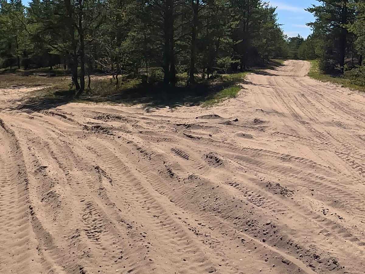
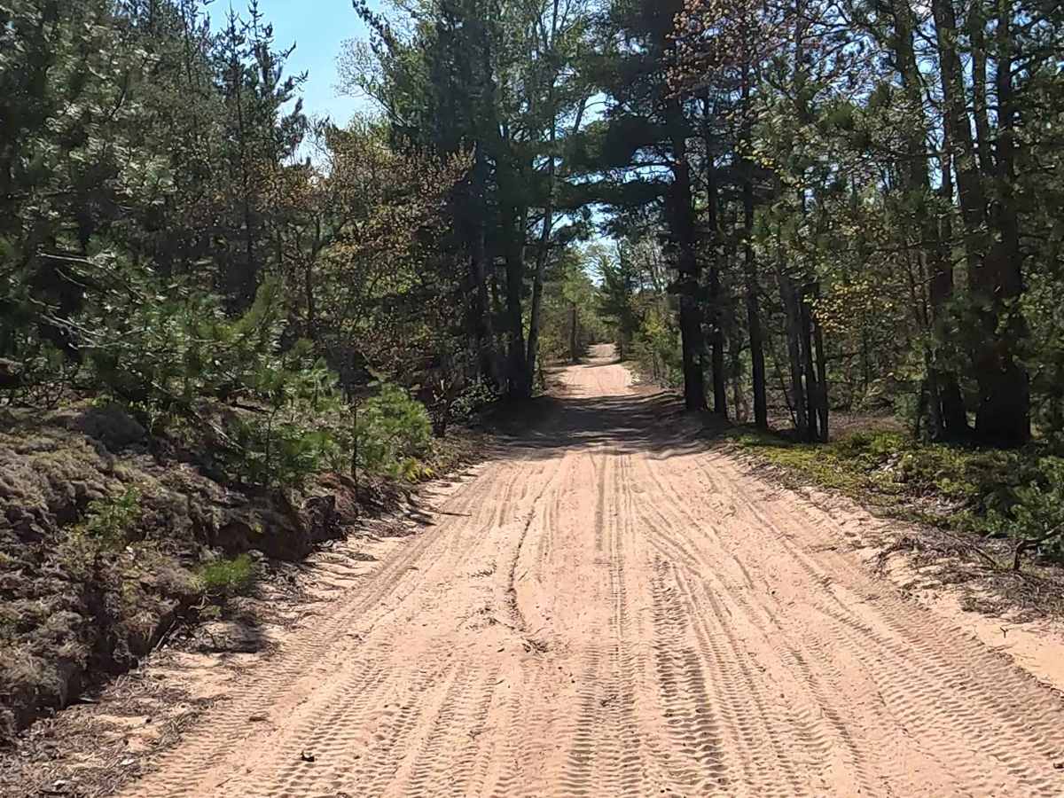
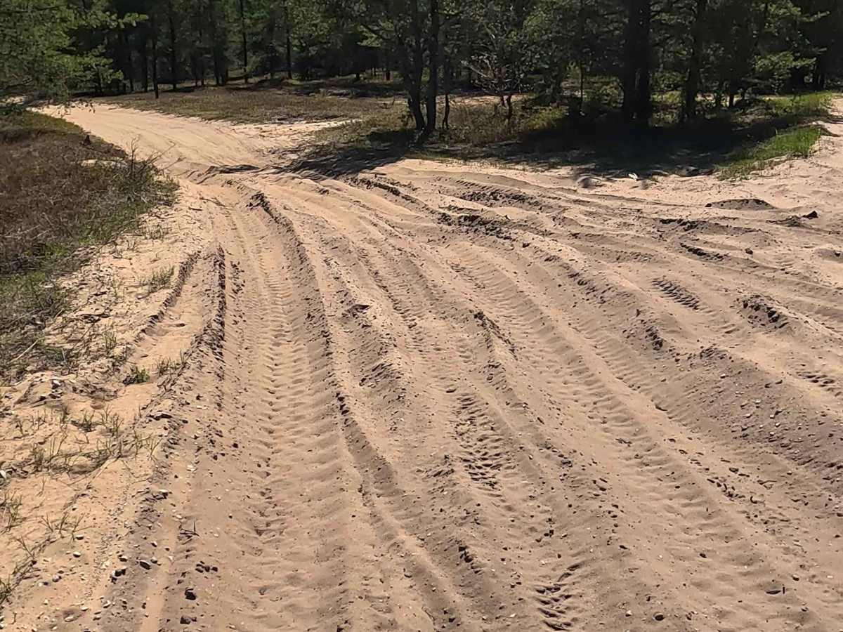
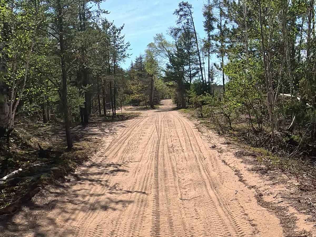
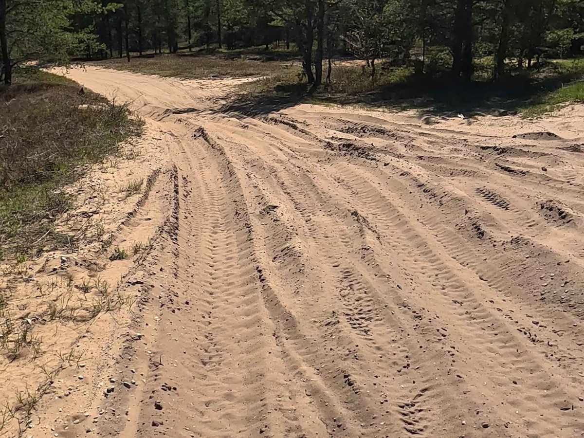
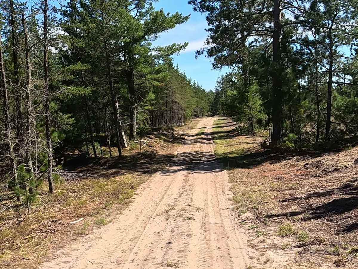
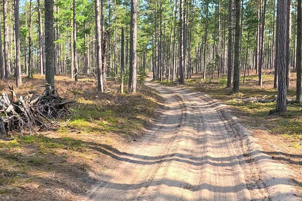
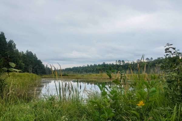
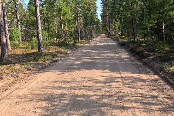
North Andrus Lake Road is a state-owned/ locally maintained, Level-2/ Level-3, forest access route with a surface composition of sand, dirt, and native material. It offers access to forested "Two-Tracks" and hiking paths within the deep wilderness of the Betsy River and Shelldrake Lake area, and wraps around the west bank of Andrus Lake.
Difficulty
Sand, dirt, gravel route typically unmaintained after rain or snow that may give rise to water crossings > 12” and obstacles such as trees/ tree branches.
History
Located in the remote Eastern Upper Peninsula, the history of Andrus Lake in Paradise, MI, is closely tied to the timber era, the creation of the nearby Vermilion Point Life-Saving Station, and the subsequent transformation of the region into a quiet, heavily forested outdoor retreat. During the late 19th and early 20th centuries, the region was defined by massive lumbering operations. While major lumber towns boomed at the mouths of the nearby Shelldrake and Tahquamenon Rivers, the inland area surrounding Andrus Lake was primarily utilized for logging. Following the decline of the lumber industry in the 1920s, major fires swept through the cutover pine lands. The village of Paradise was officially founded in 1925. The nutrient-rich, fire-scarred soil allowed vast wild blueberry and cranberry crops to take root, sustaining early locals and birthing the region's famous annual Blueberry Festival.