W Dam Road

Total Miles1.9
Technical Rating
3Easy
Best TimeSpring, Summer, Fall
Trail TypeFull-Width Road
Accessible By
Open Trail Map

Trail Overview

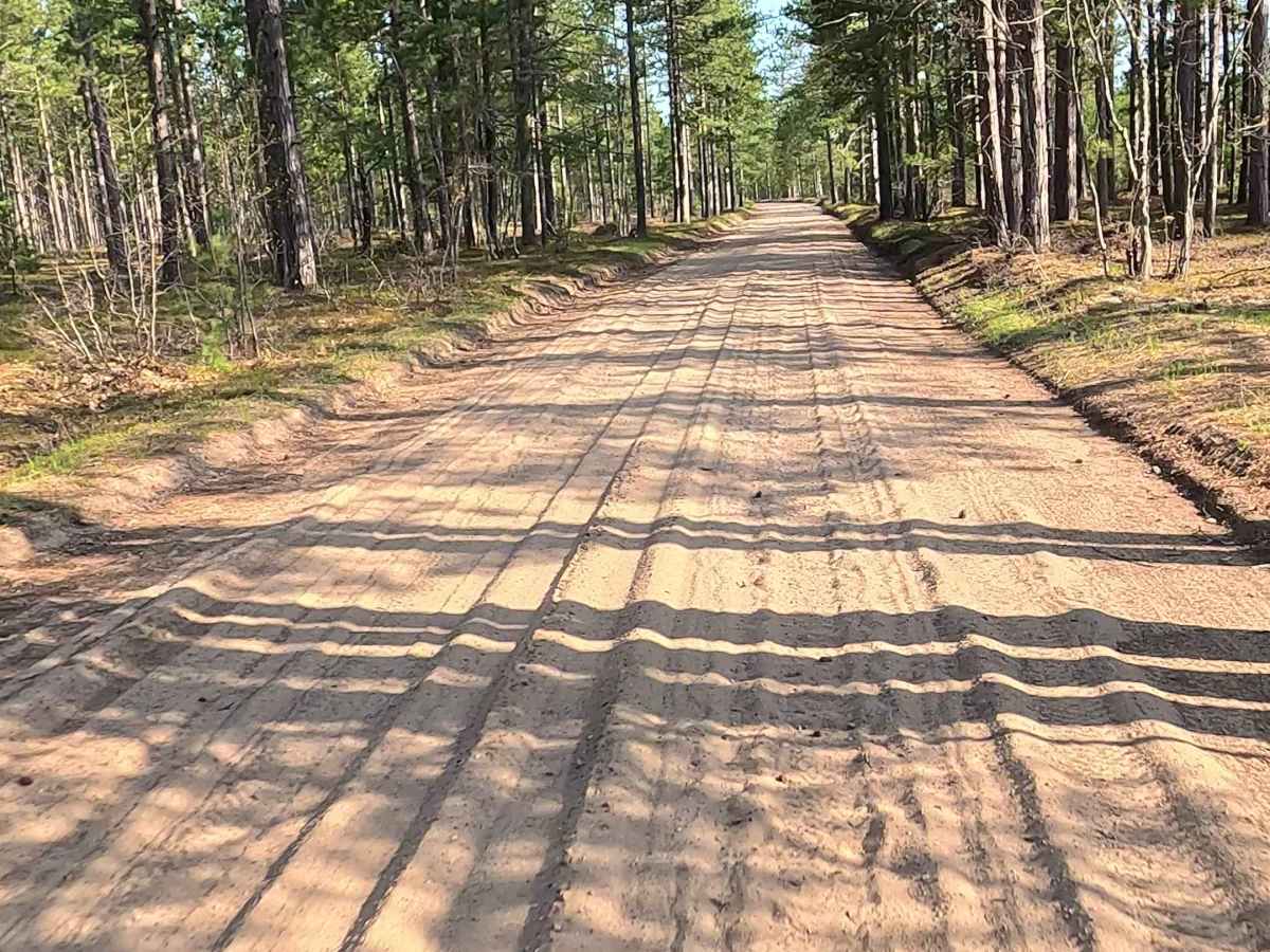
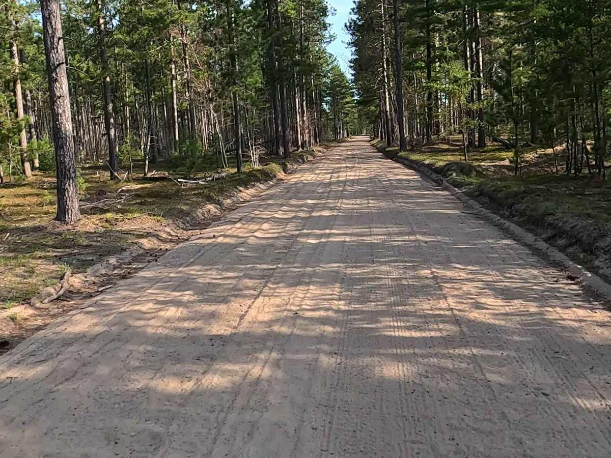
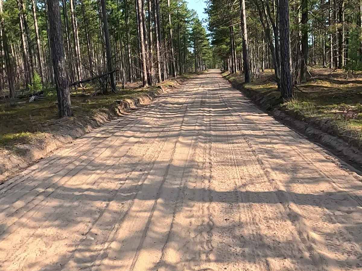
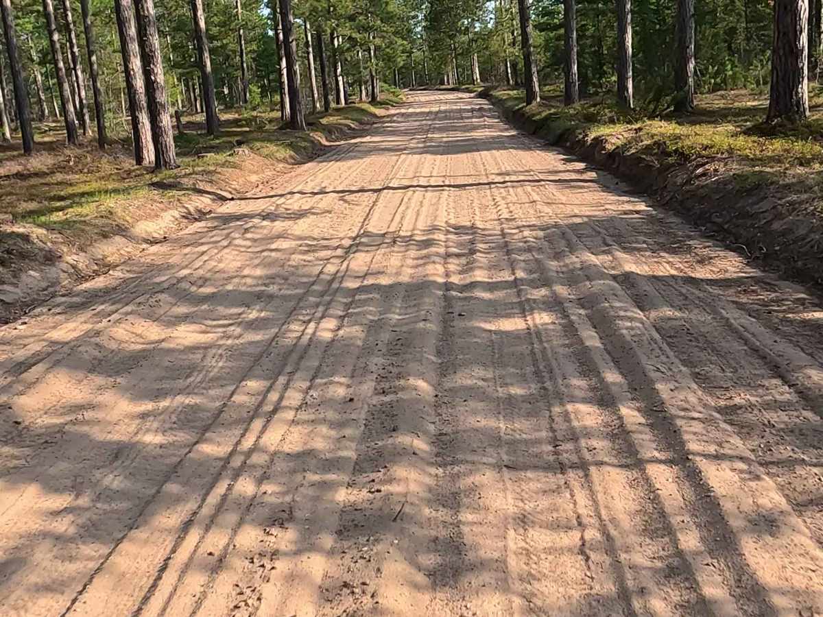
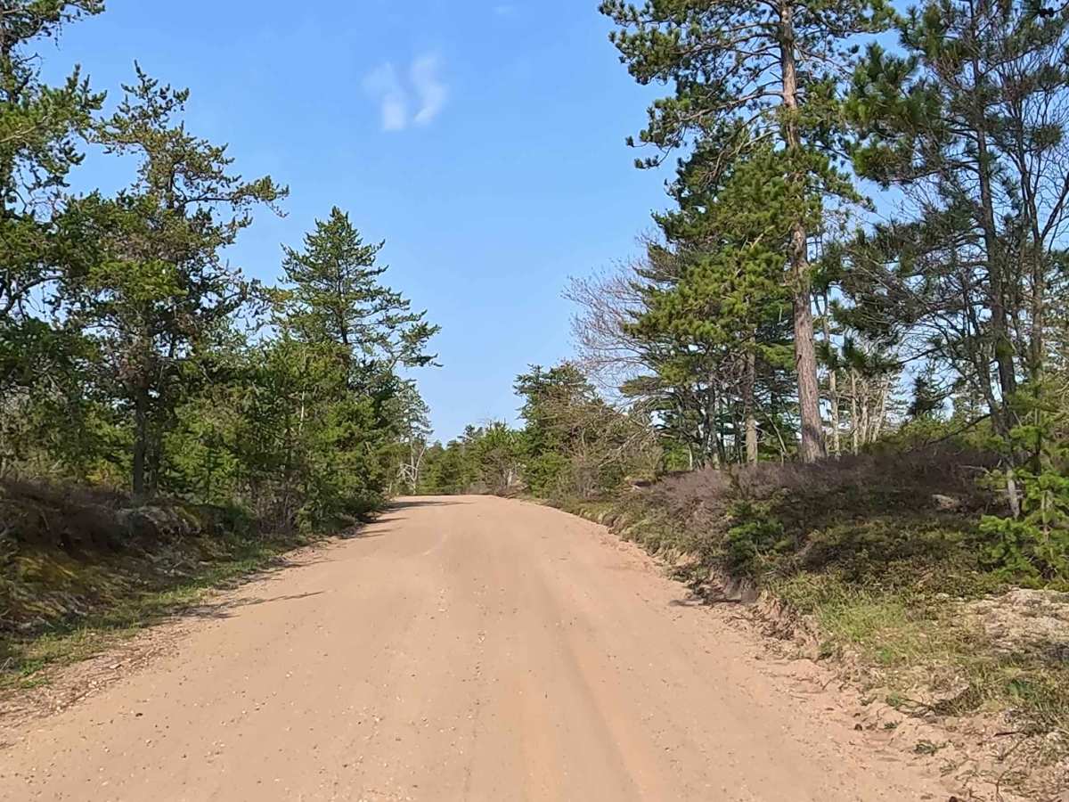
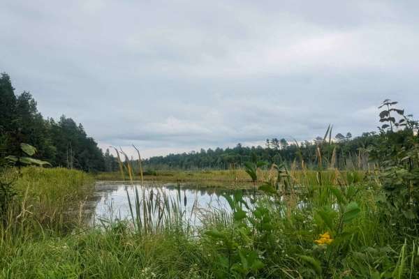
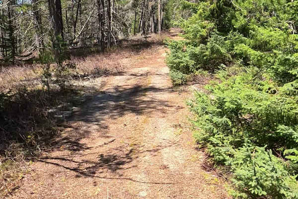
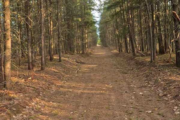
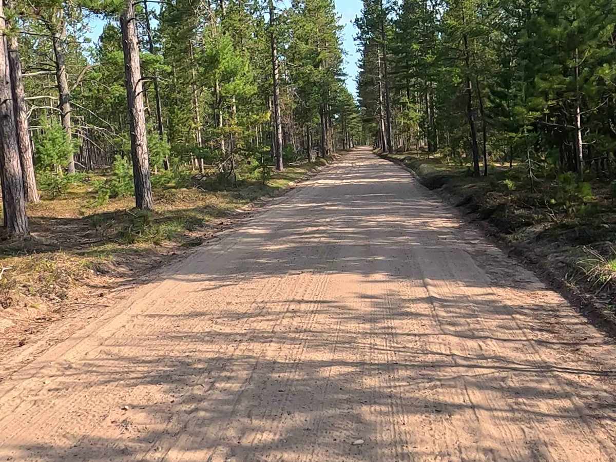
W Dam Road is a state-owned/ locally maintained, Level-2/ Level-3, forest access route with a surface composition of sand, dirt, and native material. It offers access to forested "Two-Tracks" and hiking paths within the deep wilderness of the Betsy River and Shelldrake Lake area, and dead ends at the southeast end of Shelldrake Lake.

Photos of W Dam Road

Difficulty

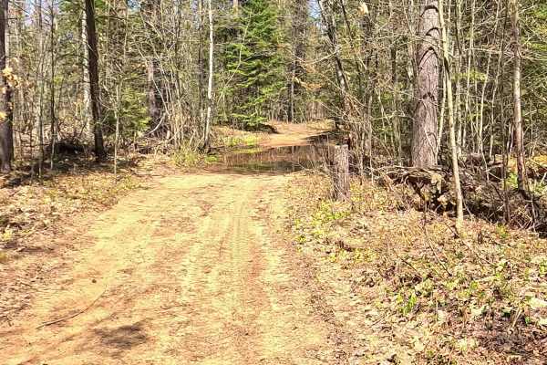
Sand, dirt, gravel route typically unmaintained after rain or snow that may give rise to water crossings > 12” and obstacles such as trees/ tree branches.

History

The name "Shelldrake" derives from the Ojibwa word Anzigo-ziibi, which means a sheldrake or sawbill duck (merganser).Early Uses: Long before European settlement, the area was a seasonal Ojibwa fishing camp. Native Americans used a local trail to travel to Vermilion Point to mine red ochre, a clay used for paint pigment.

Technical Rating

3

W Dam Road Trail can be accessed by the following ride types:

  • Single Track
  • 50 Inch
  • 60 Inch
  • High Clearance
  • Full Width

W Dam Road Map

The onX Offroad Difference

onX Offroad combines trail photos, descriptions, difficulty ratings, width restrictions, seasonality, and more in a user-friendly interface. Available on all devices, with offline access and full compatibility with CarPlay and Android Auto. Discover what you're missing today!

Open Trail Map