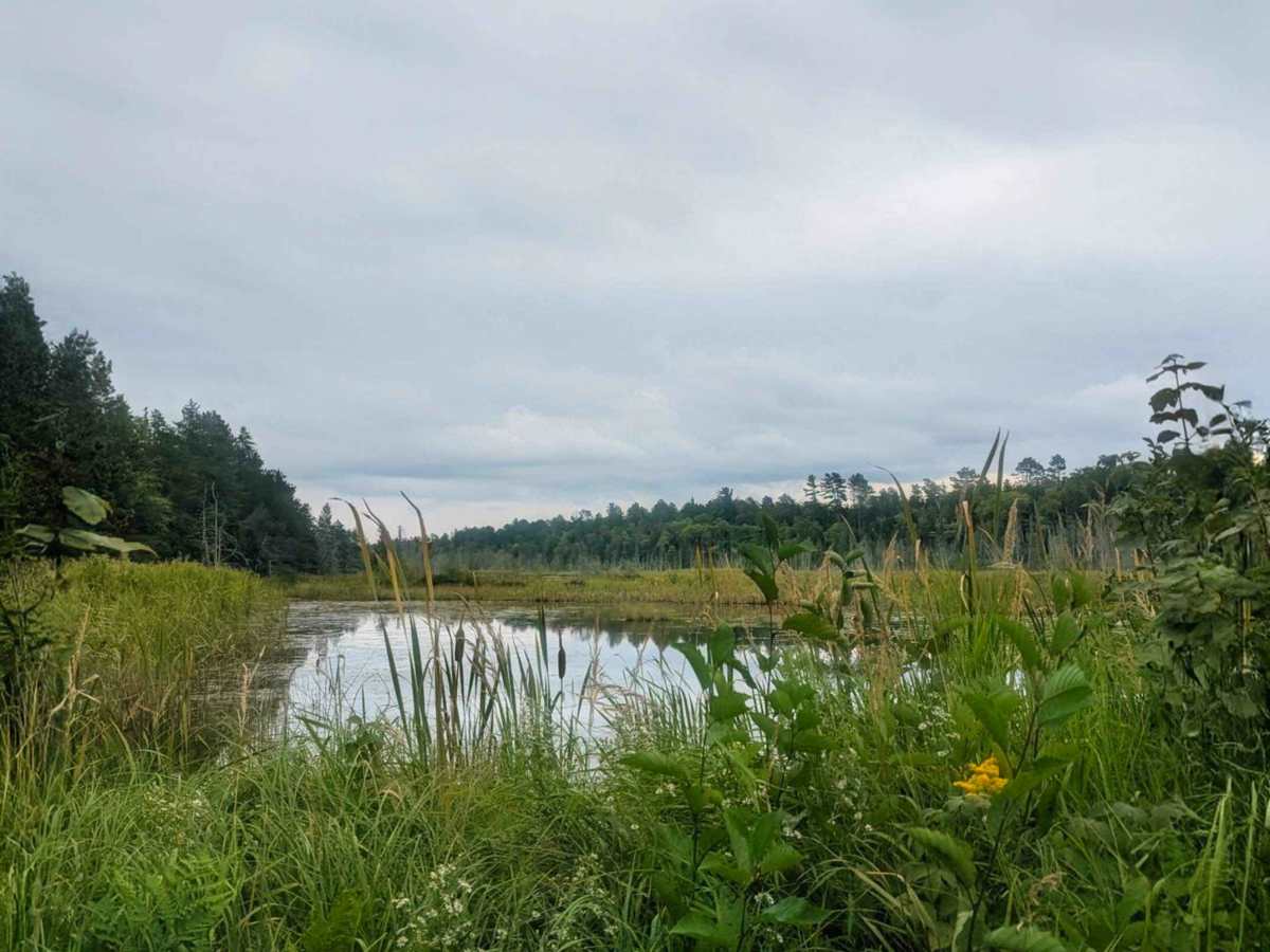
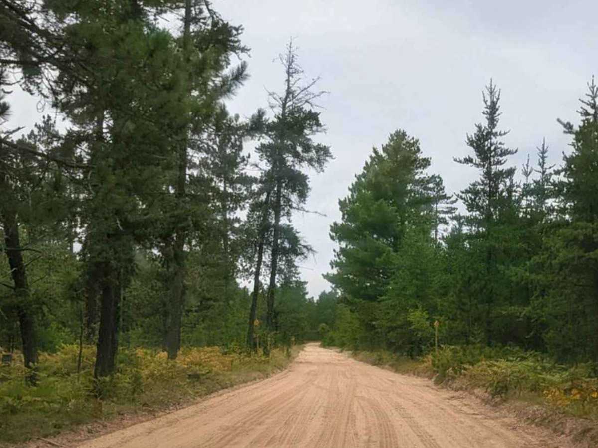
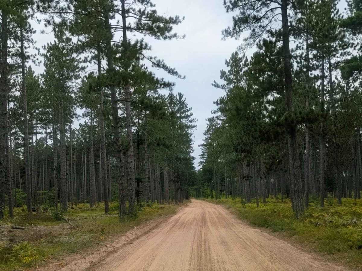
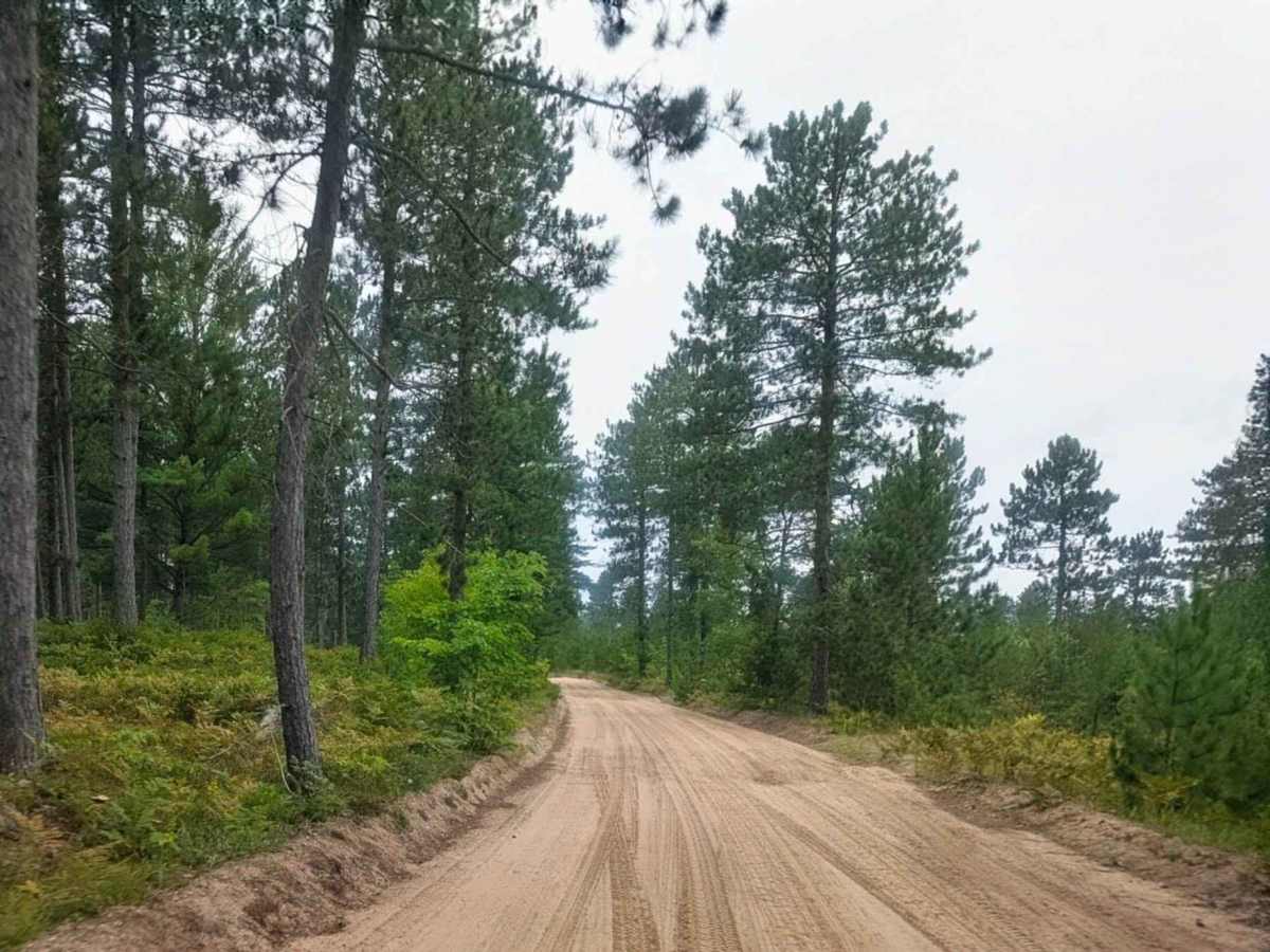
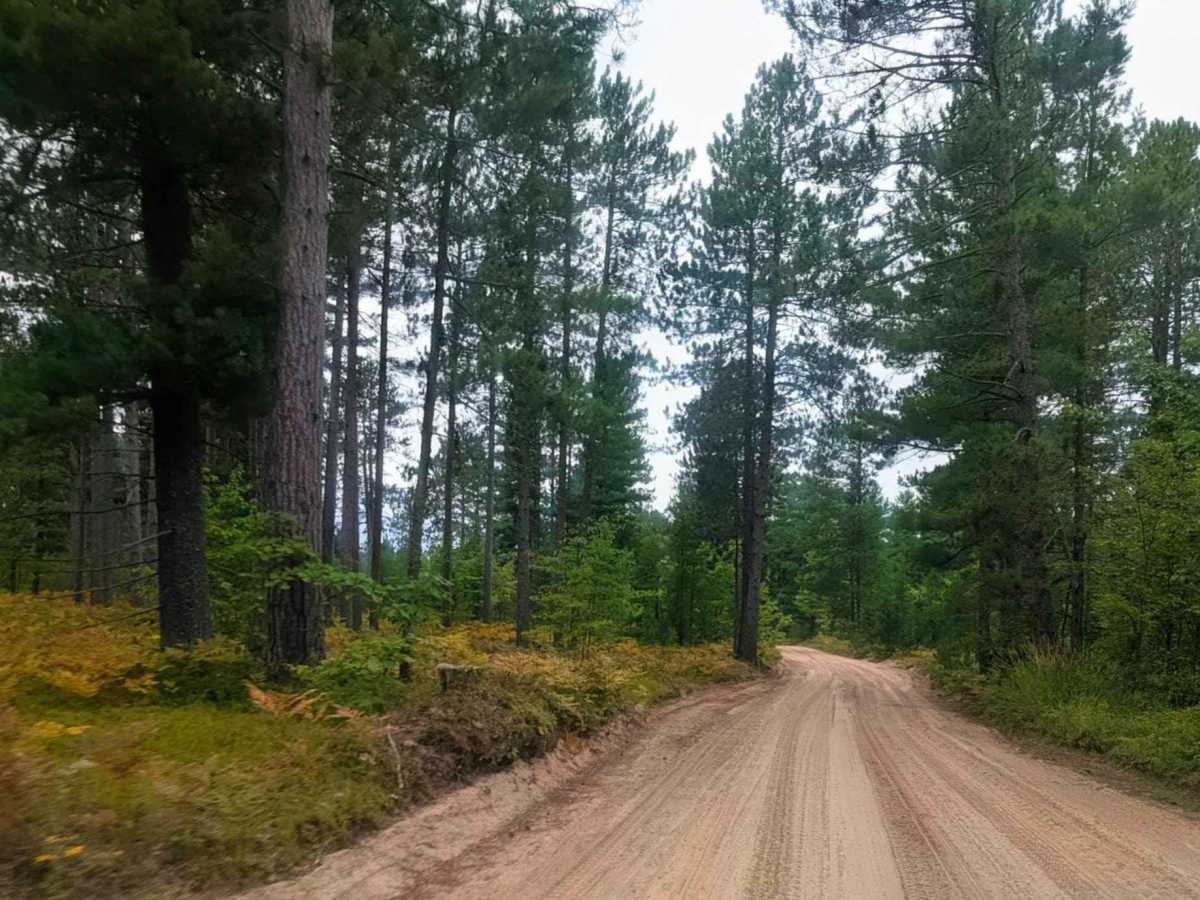
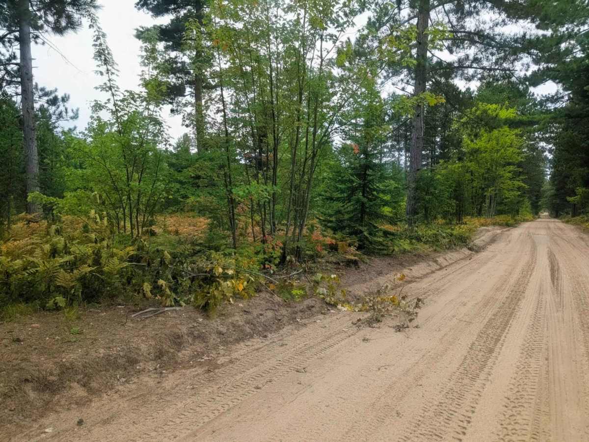
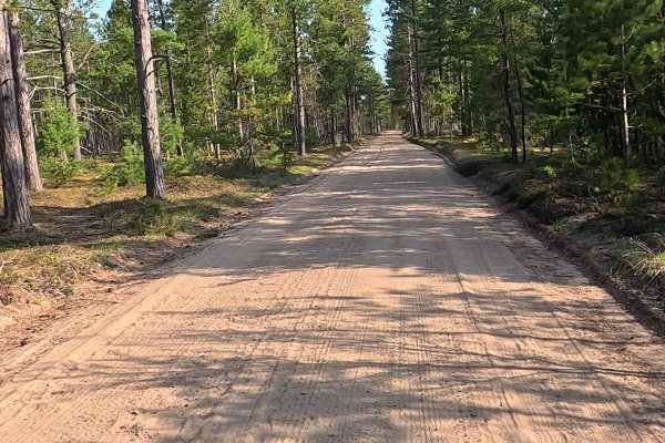
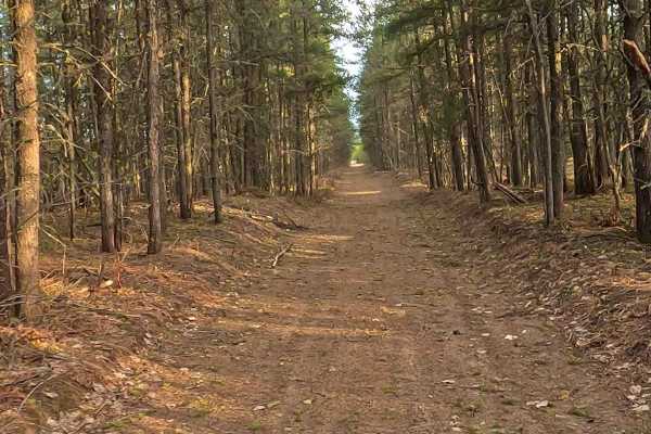
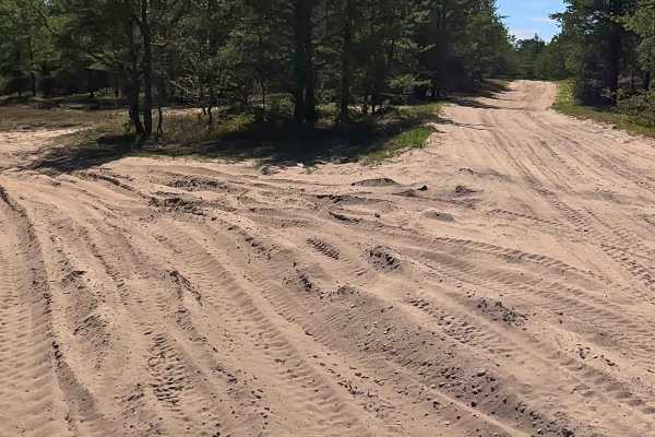
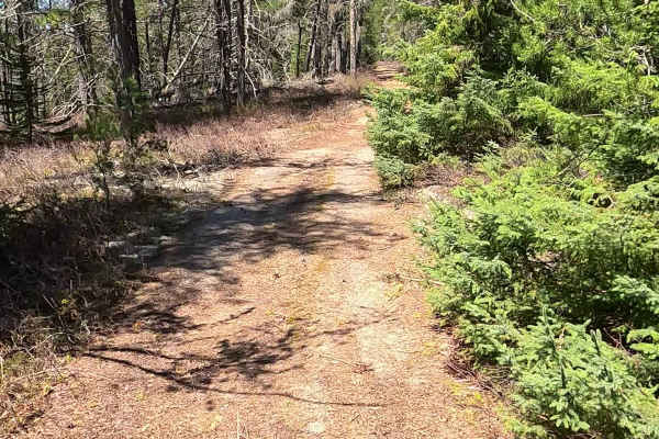
Trail Overview
The Vermilion Life Saving Station is located on the remote "Shipwreck Coast" of Lake Superior in Michigan's Upper Peninsula. The road that leads to it is a two-lane gravel and sand road, and while it was graded and in good condition when mapped in September 2025, its condition can vary. This road is a snowmobile trail in the wintertime. The road is known to be rough and, after a rainstorm, can have deep puddles. Four-wheel drive is often recommended, though some have made it in other vehicles. The road is windy but mostly flat until it nears the lake, where the elevation drops. The road has wide shoulders, which minimize the risk of scratches to a vehicle. The road, named Vermilion Road, is accessed from Whitefish Point Road, which you can get to from Paradise, Michigan. It's approximately 5 miles north of the light in Paradise. Travelers should continue on the "main" road and stay to the right at the Y in the road. The drive is noted for its beautiful forest scenery, especially in the fall. The road leads to the Vermilion Point Nature Preserve, a historic site with a wide, sandy beach on Lake Superior. There is a state forest campground, Andrus Lake State Forest Campground, located near the start of Vermilion Road. The preserve itself is open for quiet recreation, such as hiking and rock hunting.