Trail Overview
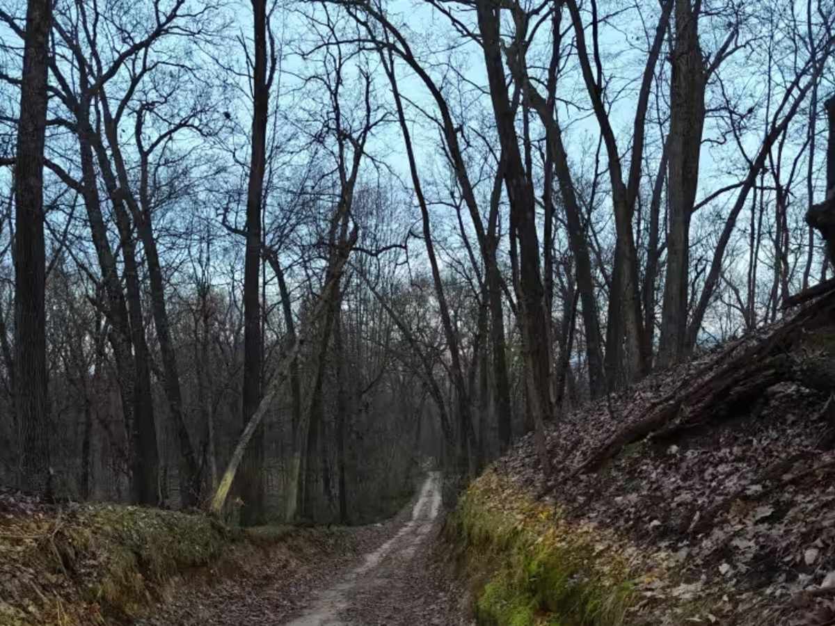
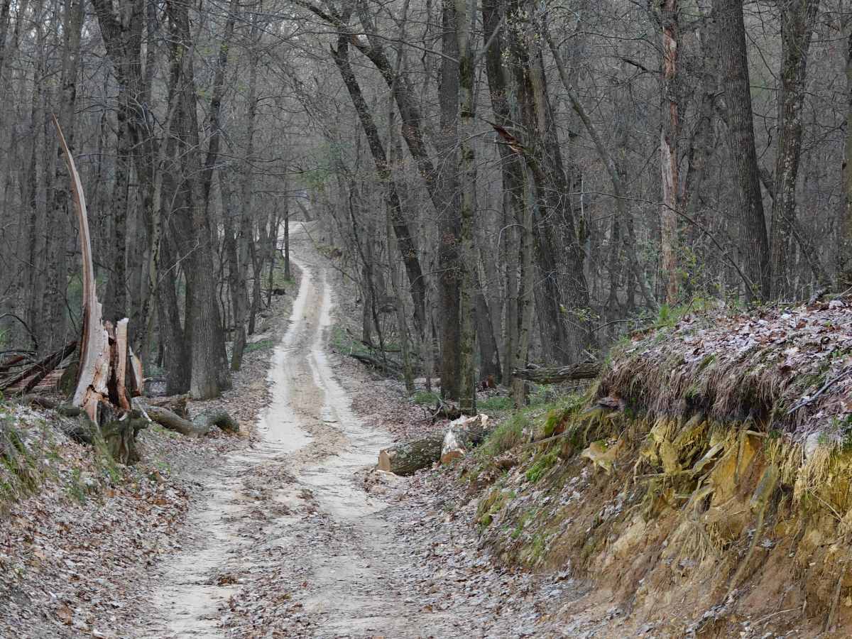
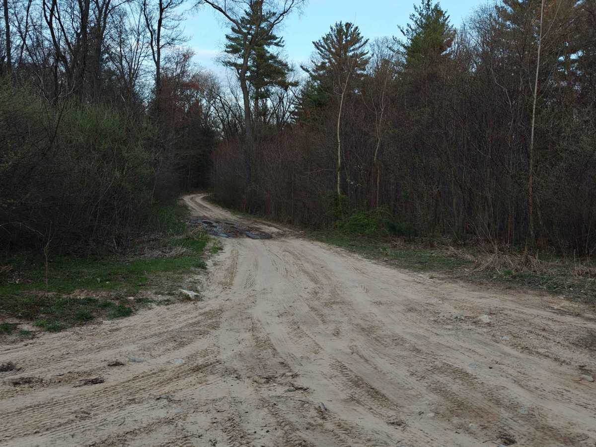
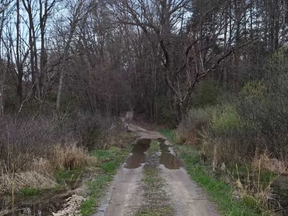
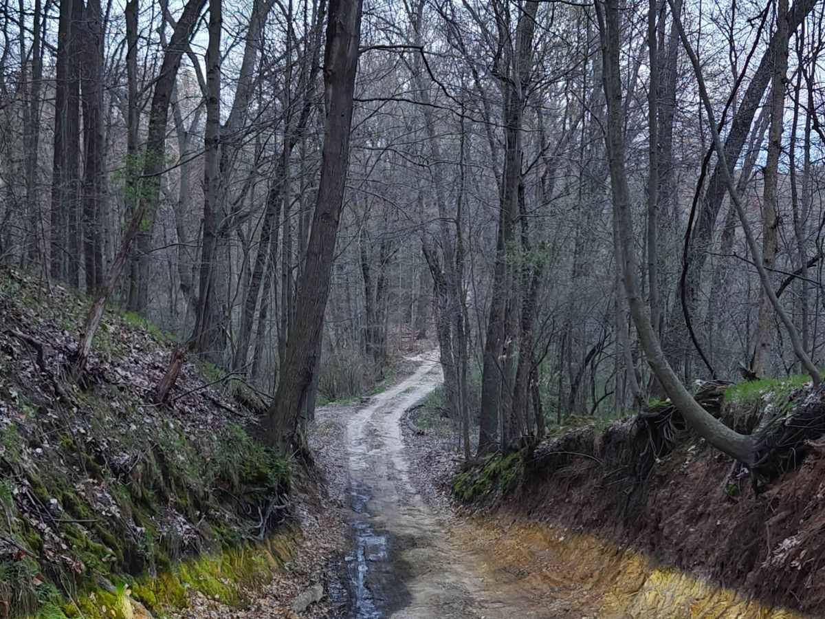
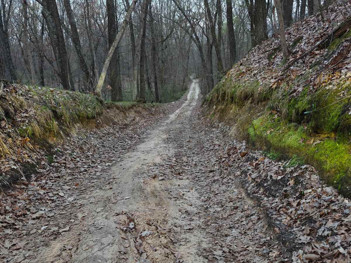
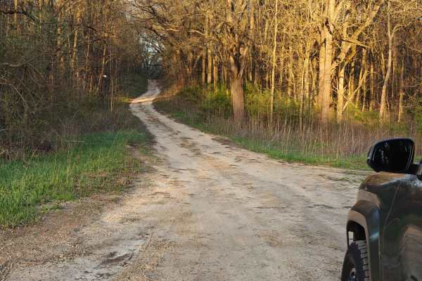
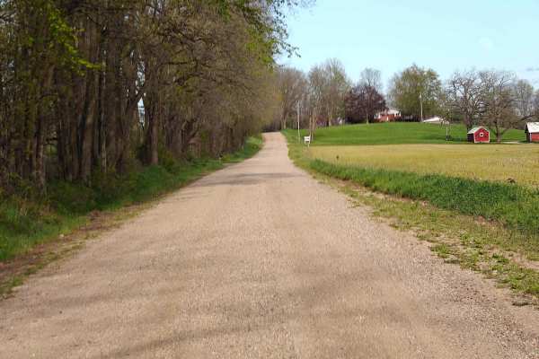
Hart Trail is a short connector route that links the western side of the Yankee Springs Loop to the interior trail network within the Yankee Springs State Recreation Area and the Barry State Game Area. While not a destination trail on its own, it’s a useful cut‑through that lets you access several other seasonal roads and offshoot routes in the area. The trail surface is a mix of sand, dirt, mud, and scattered rock, with the overall character changing heavily based on recent weather. After rain, the low spots hold water and can turn into slick mud patches. During dry spells, the sand becomes loose and can get deep in sections. Riders on larger adventure bikes who are not comfortable with soft sand may find this trail challenging, especially when the surface is dry and churned up. For 4WD vehicles, Hart Trail is generally an easy, scenic drive through open forest with plenty of visibility and gentle elevation changes. This area is part of an active State Game Area, and you’ll see numerous pull‑offs where hunters park during the season. Wildlife sightings are common, especially in the early morning or evening. Use caution during fall hunting months. There are no major obstacles on the Hart Trail, and the route is wide enough for a single vehicle with occasional places to pass. The main considerations are the sand depth, mud after storms, and the occasional rutted section, depending on how recently the DNR has graded the area. Under normal conditions, any high‑clearance 4x4 will have no issues. Even stock SUVs and crossovers can typically make it through. Overall, Hart Trail is a quick, enjoyable connector that adds variety to the Yankee Springs network. It’s a good warm‑up or cool‑down segment before tackling the longer loops, and it offers a quiet stretch of woods that feels more remote than its short length suggests.