Trail Overview
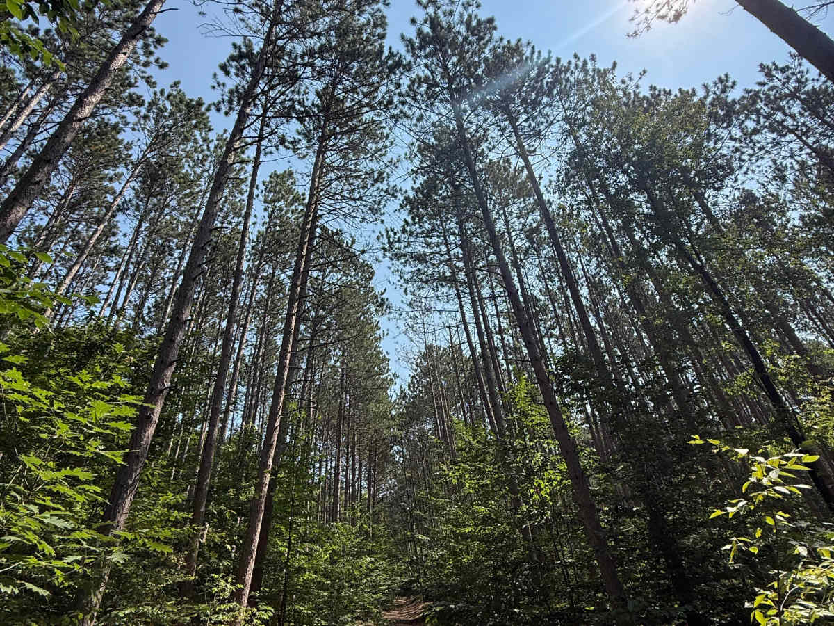
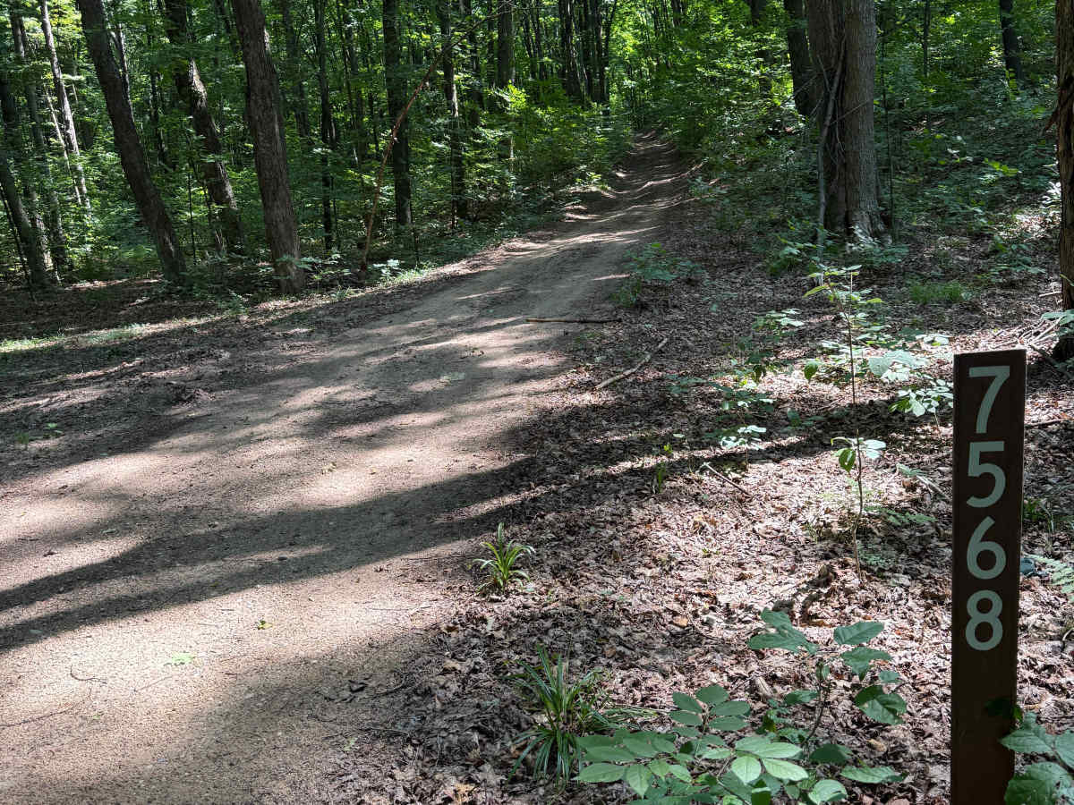
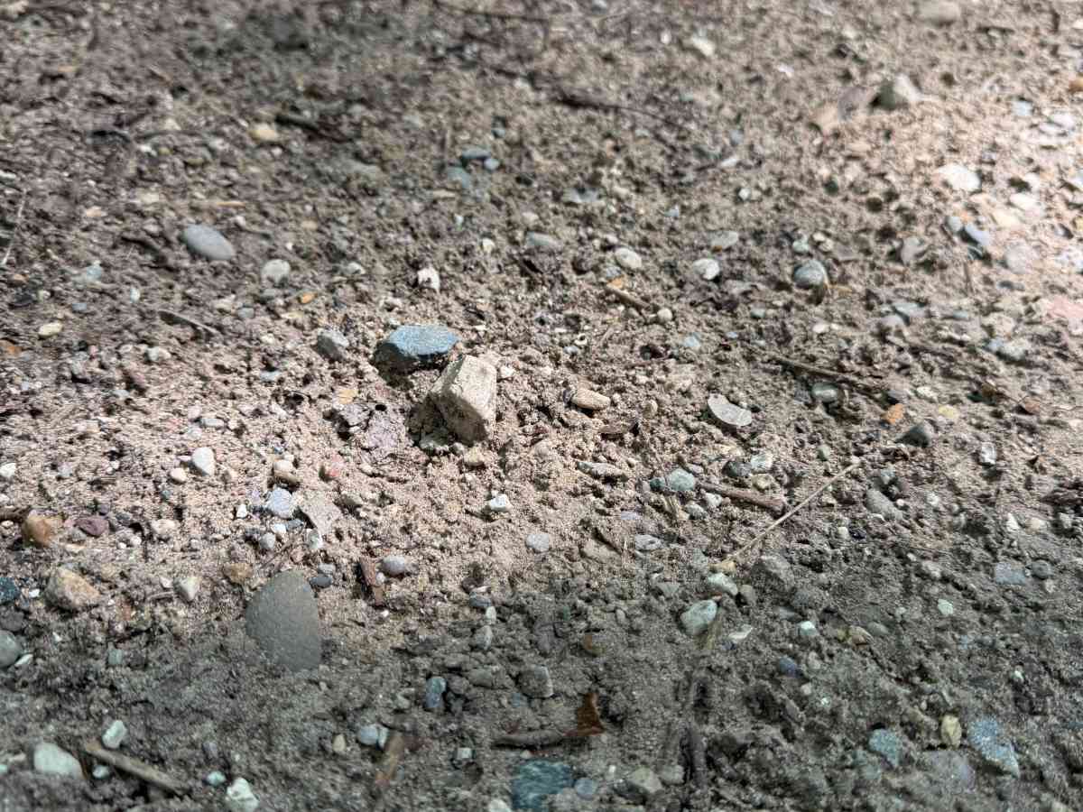
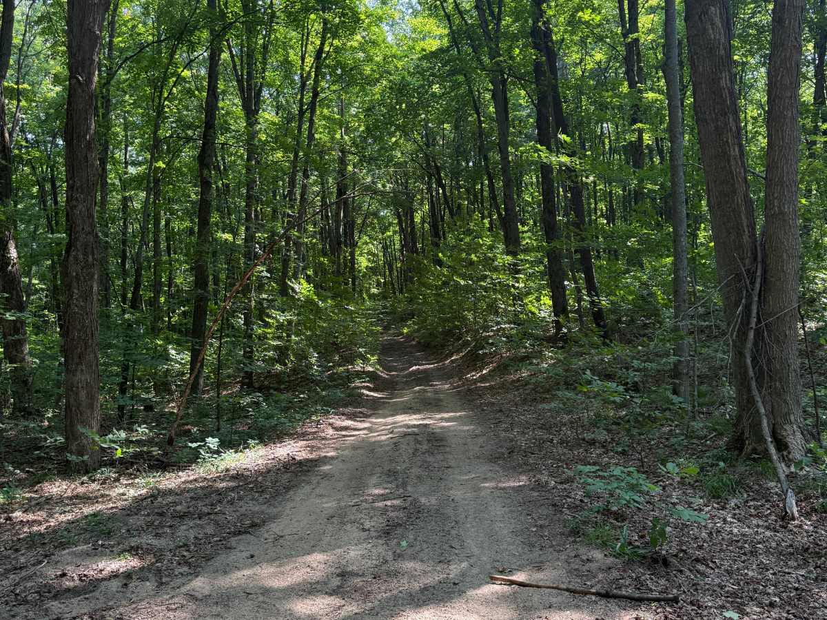
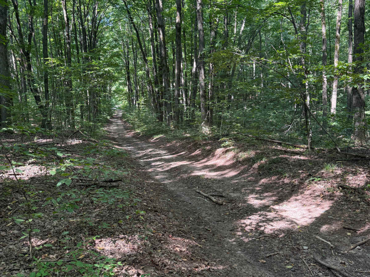
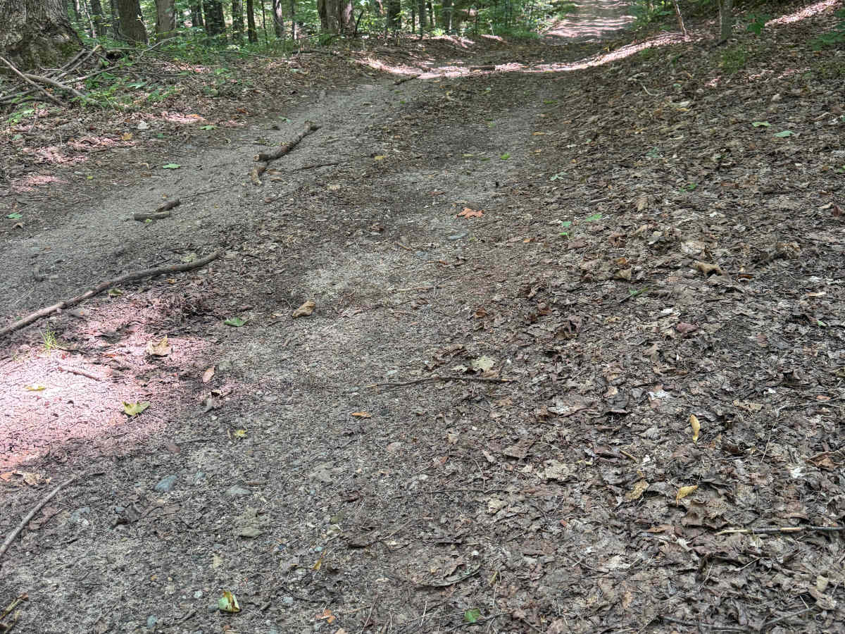
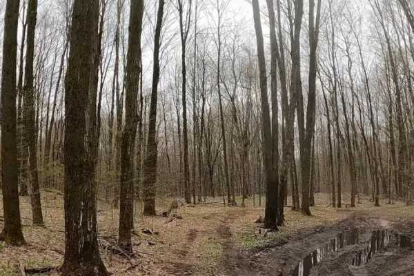
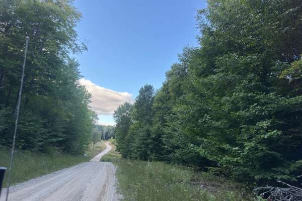
FS 7568 is a bidirectional trail within the Manistee National Forest. Located north of the town of Yuma and south of the town of Mesick near the Hodenpyl Dam Pond, this trail is easily accessible. Most of the trail is a combination of dirt, gravel, and sand. Starting out from the western end, you'll begin on a classic Michigan two-track. You may come across some rutted-out muddy sections. As you continue, 0.4 miles in, the trail makes a bend in an open grassy field along a hillside. Along this hillside is a sandy, washed-out section. This isn't anything major, but noteworthy nonetheless. Heading this direction, this trail climbs in elevation all the way to the end. Shortly after the sandy, washed-out section, the trail narrows with a lot of overgrowth. Very tight trees and super low overhead clearance. Like most Michigan trails, conditions are dependent on the weather. Recent rainfall can cause downed trees, washouts, & mud holes. Most of this trail is only wide enough for 1 vehicle with limited places to pass. As always, PLEASE TREAD LIGHTLY and be respectful of our public lands so future generations can have access to these trails! This trail finishes in a gorgeous section of towering pine trees at the intersection of FS 7121 & an unmarked spur trail that leads out to W 20 Road. This is not a difficult trail, but it is totally worth checking out! Regardless of the length or conditions, this is a fun trail for all!