Trail Overview
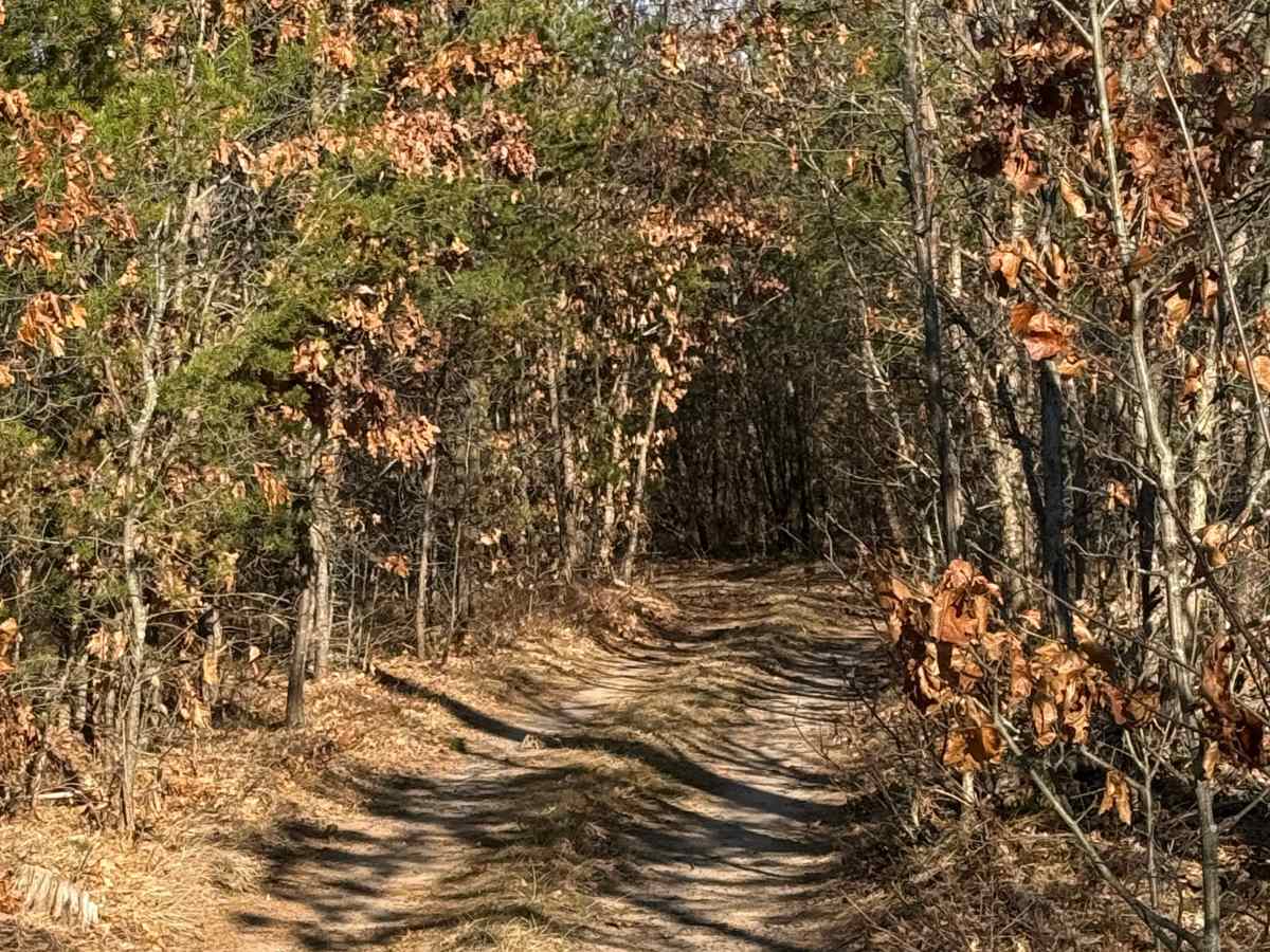
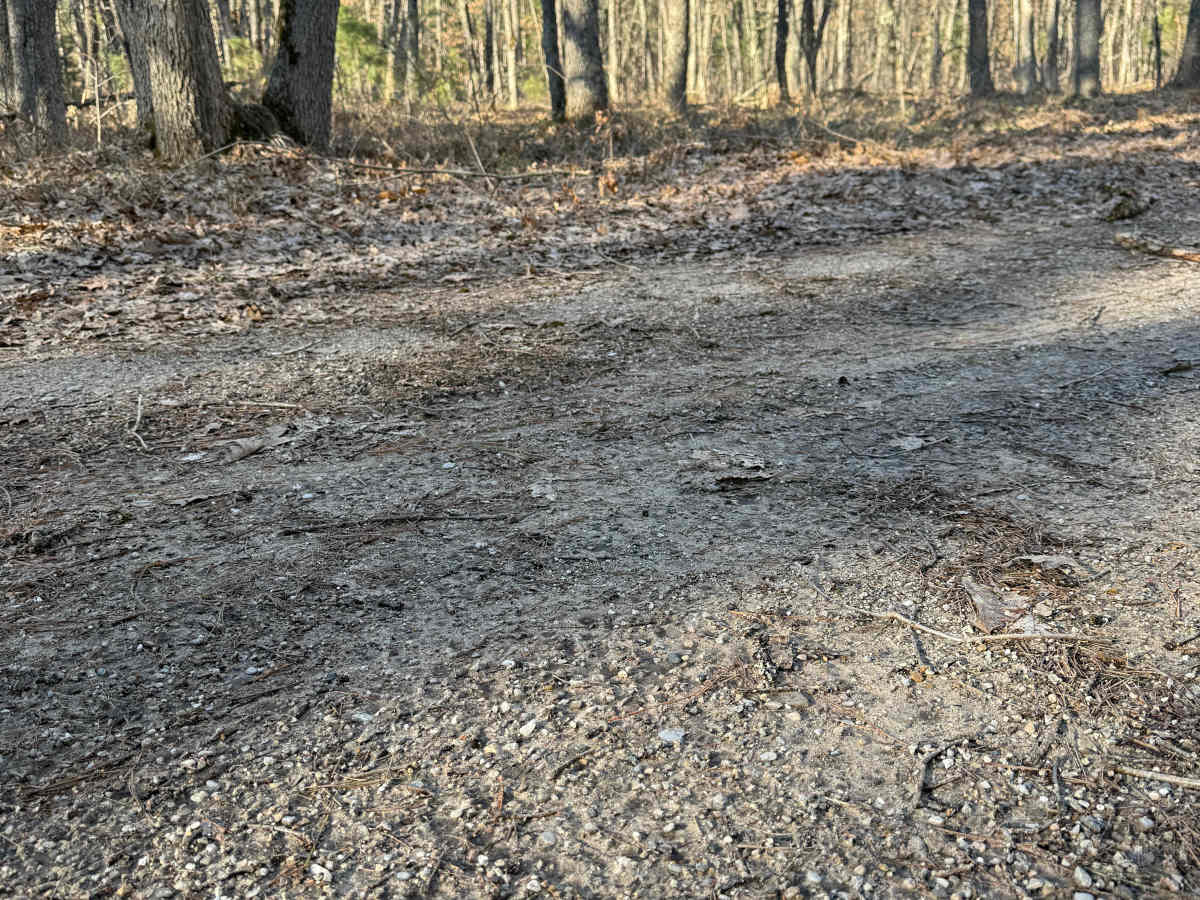
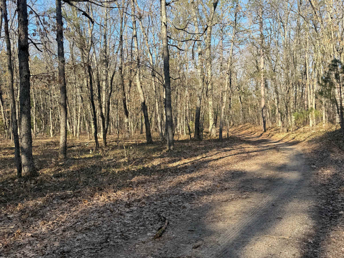
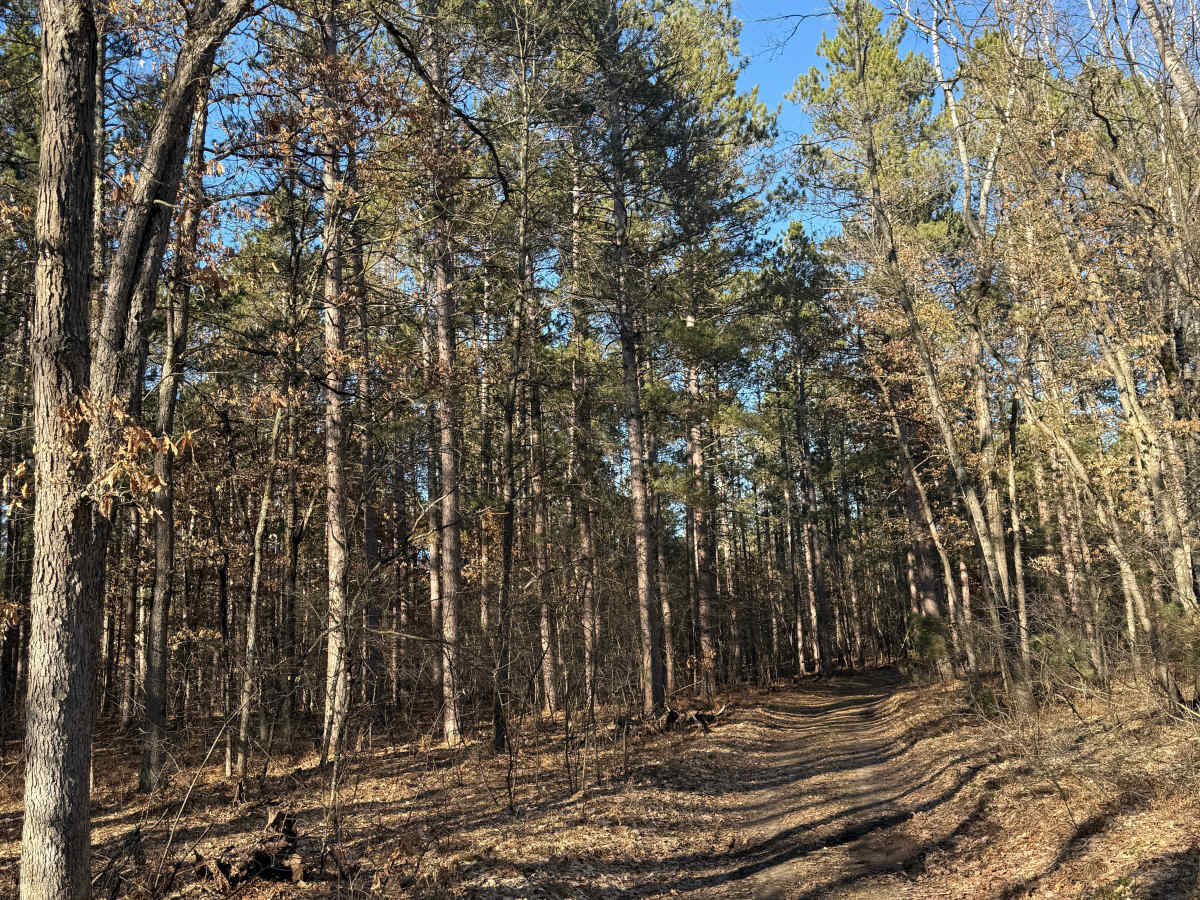
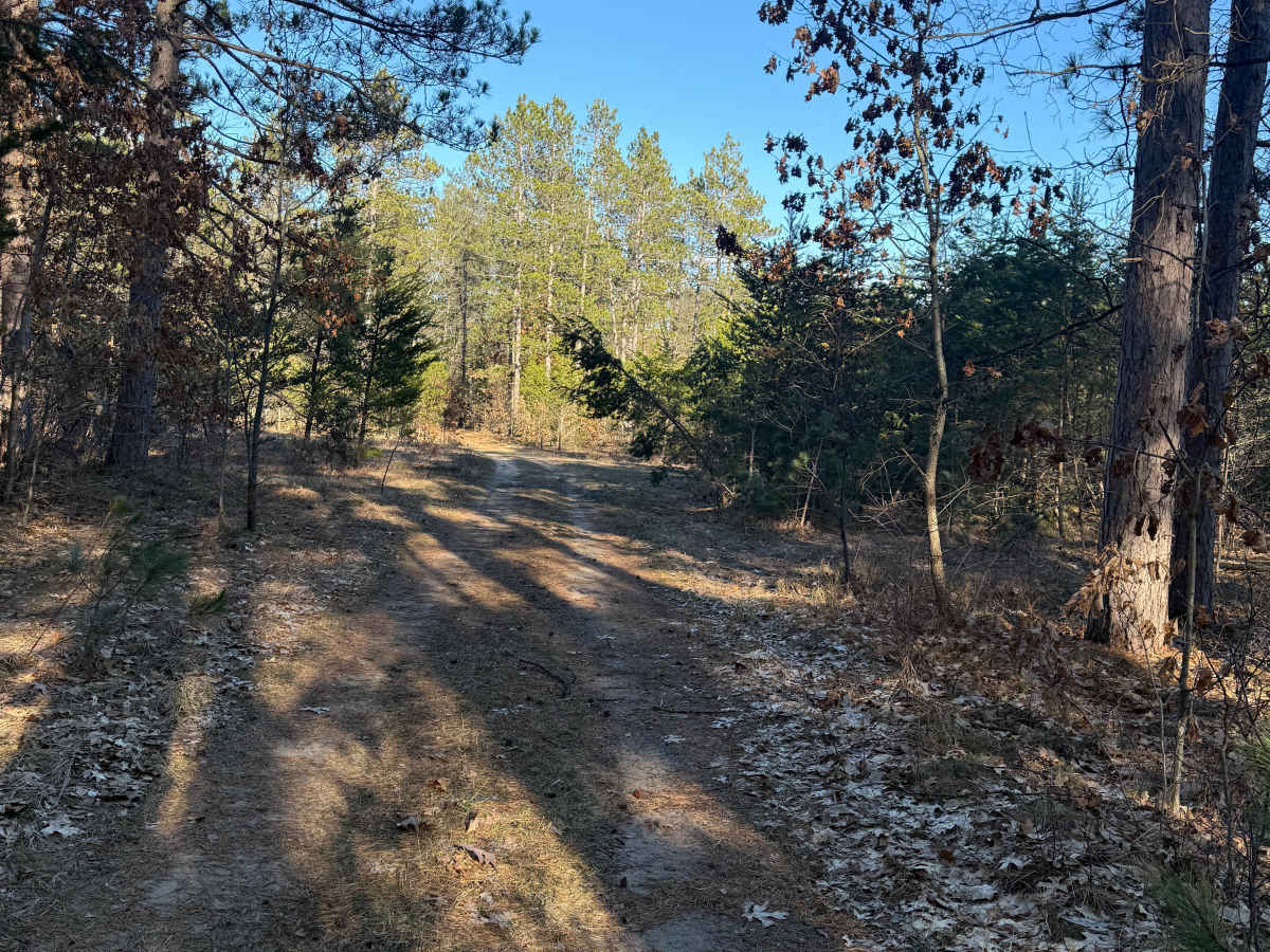
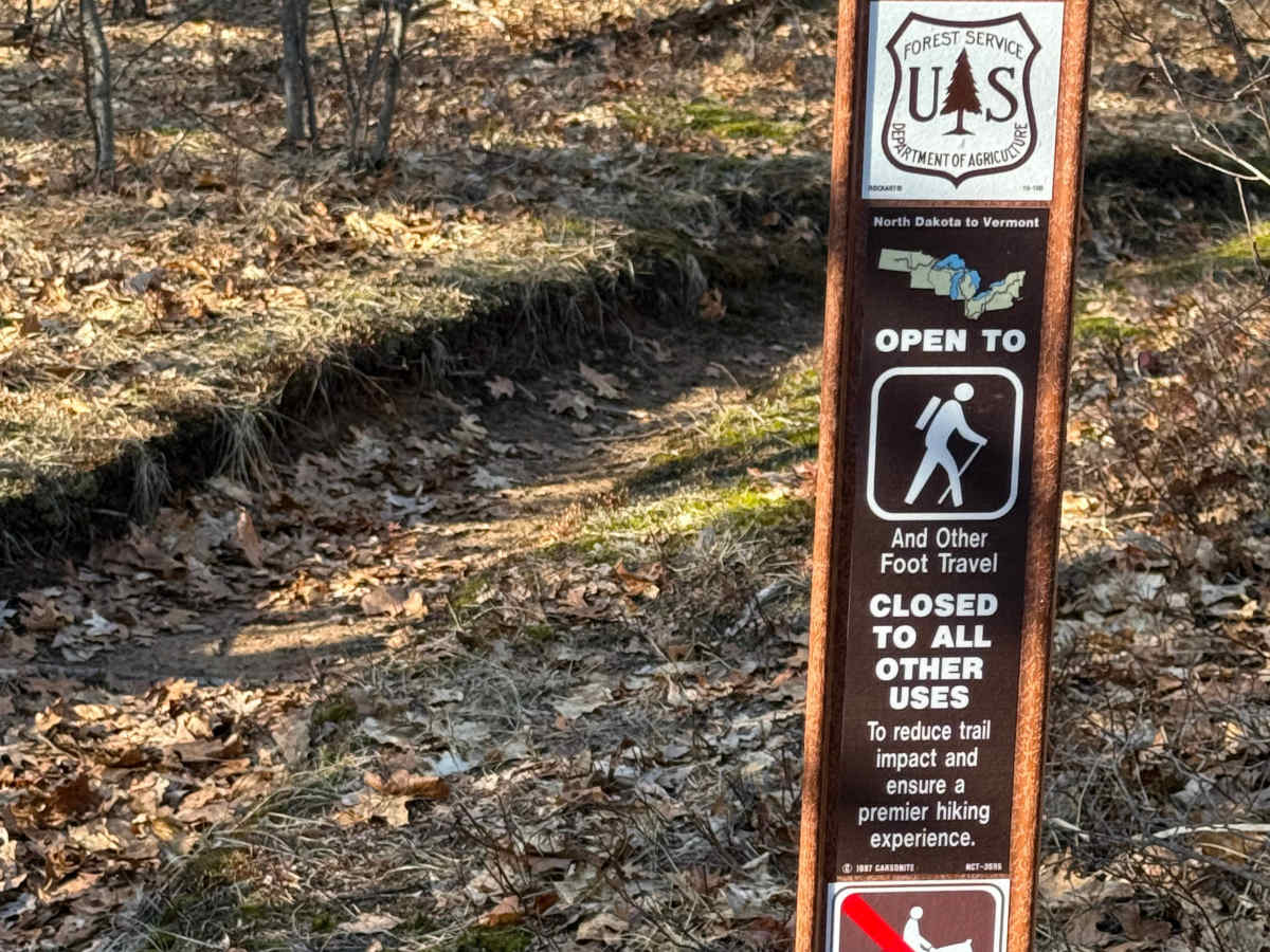
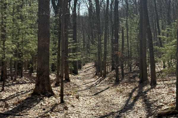
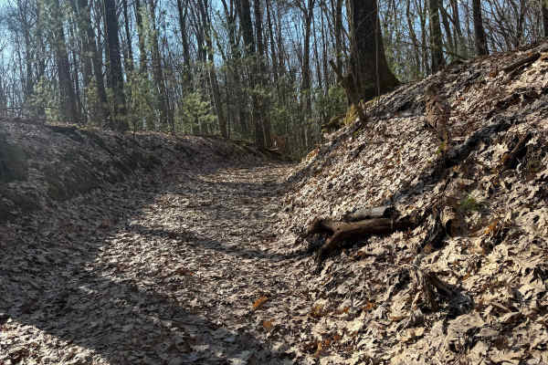
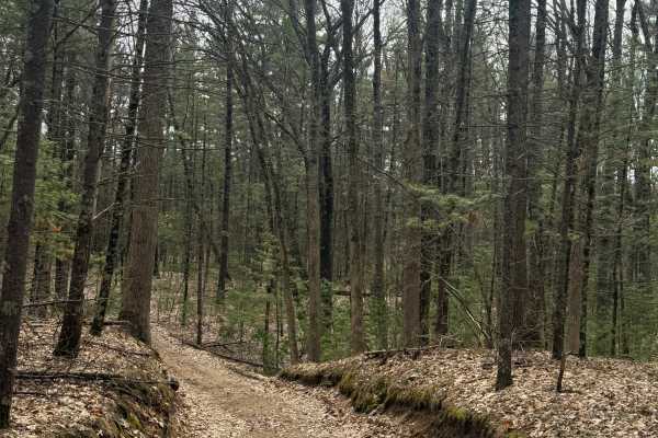
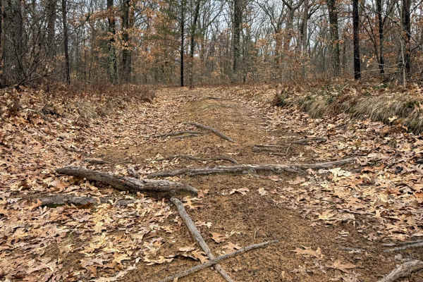
FS 5039 is a unique 1-mile Michigan bidirectional trail within the Manistee National Forest. Located between East Riverside Drive from the east and North Campbell Road from the west, this trail is easily accessible. Starting from the western end, you will start off on mostly dirt road in a tighter area of the forest, so keep your eyes open. You'll twist and turn along this route as you come across some sections of lush trees and vegetation. Be sure to take it all in. This trail ends at East Riverside Drive, which can lead you to other nearby trails. The North Country hiking trail crosses along this track, so be on the lookout for hikers. If you are not aware of what that hiking trail is, it is a hiking trail that goes from North Dakota to Vermont. Please TREAD LIGHTLY so future generations can enjoy these public spaces. Like most of Michigan offroad trails, conditions are dependent on the weather. Recent rainfall can cause unfavorable conditions on the trail, including downed trees, mud holes, and washouts. Come Prepared! This is not a difficult trail at all, but does contain a lot of fun and beauty. This trail also gives access to other great trails nearby. Regardless of the conditions or length of this trail, it's a fun route to check out! As always, PLEASE TREAD LIGHTLY and be respectful of our public lands so future generations can have access to these trails! This trail is accessible to highway-legal vehicles year-round and all others from 4-1 to 11/30.