Tackett Creek / McLean Rock

Total Miles33.5
Technical Rating
5Moderate
Best TimeSpring, Summer, Fall, Winter
Trail TypeFull-Width Road
Accessible By
Open Trail Map

Trail Overview

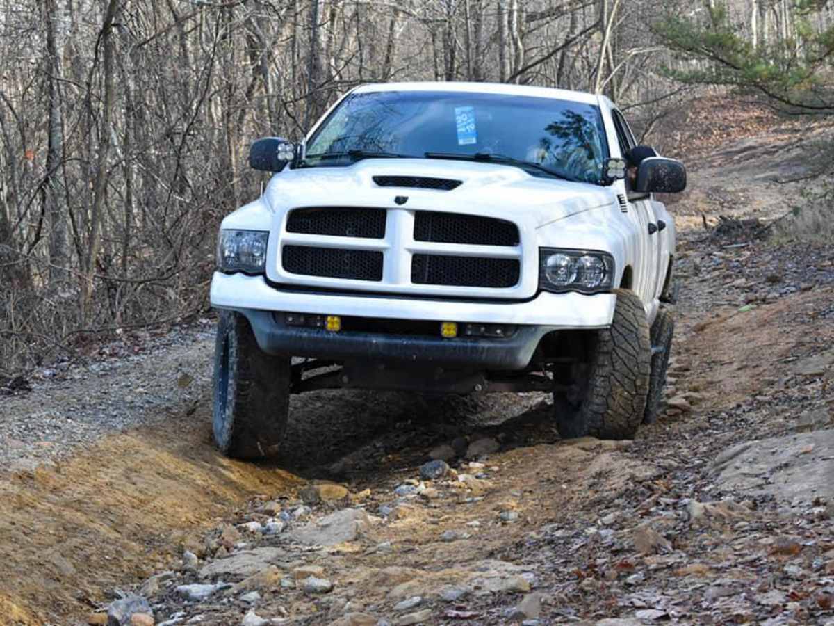
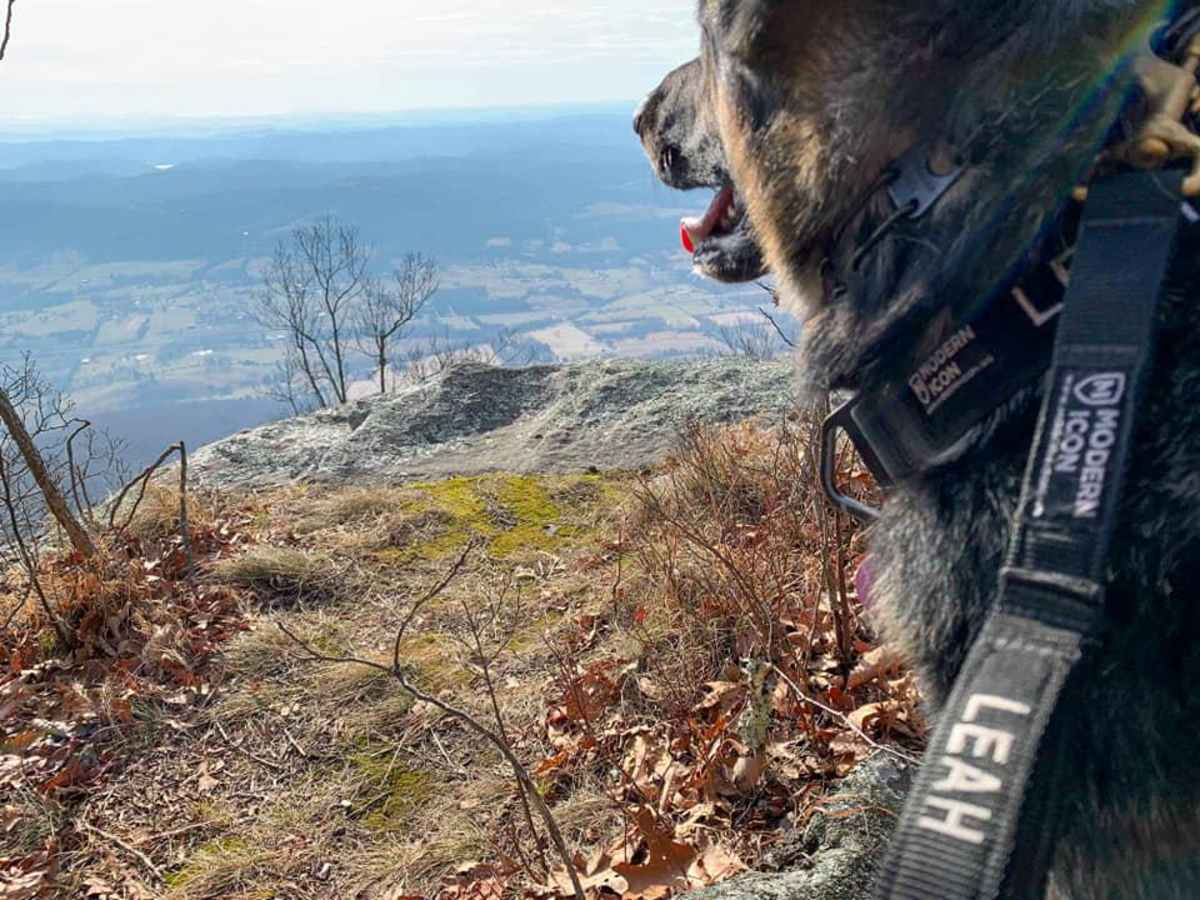
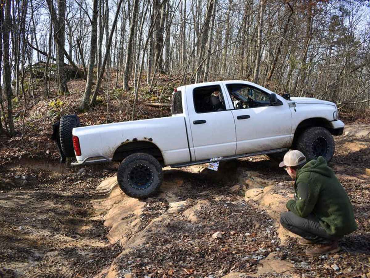
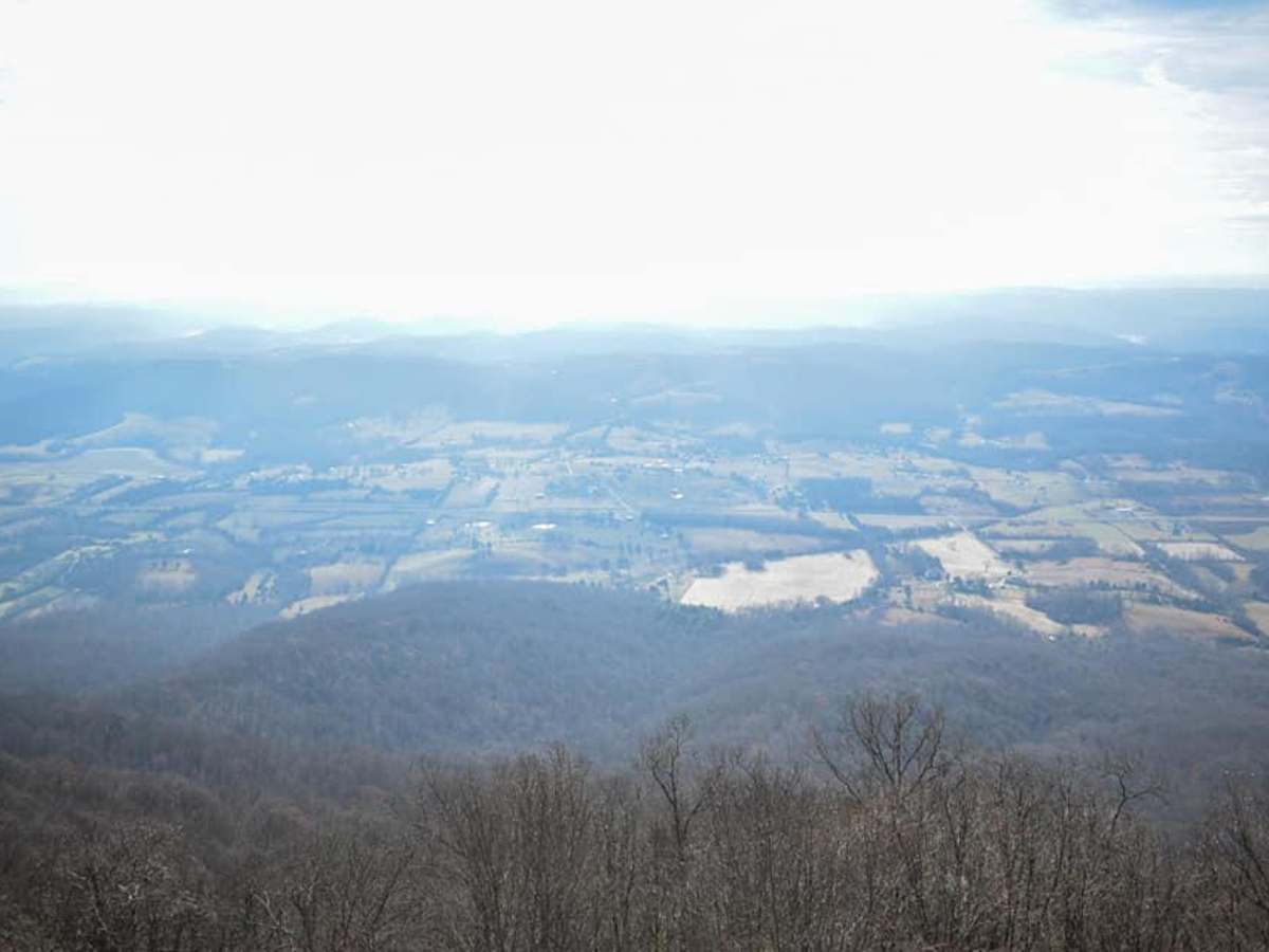
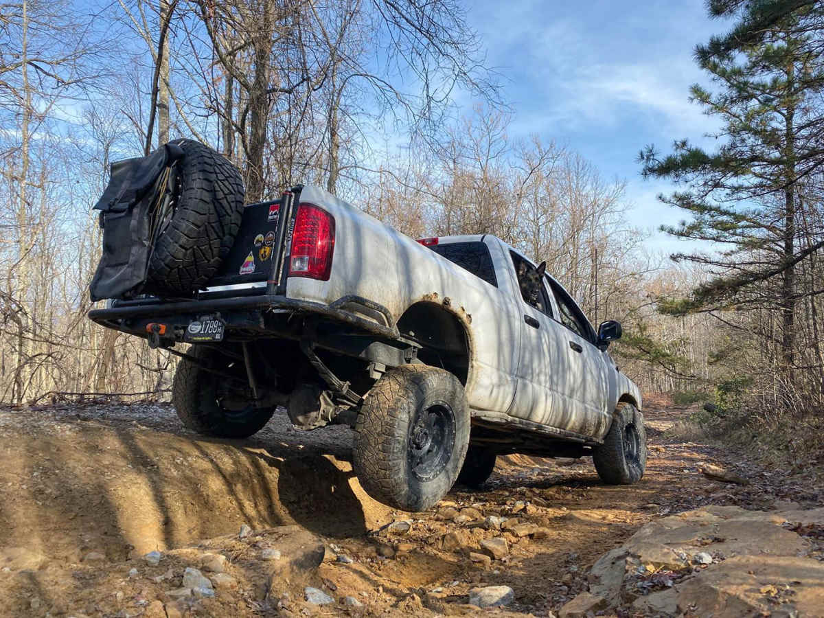
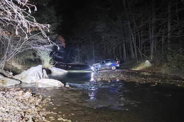
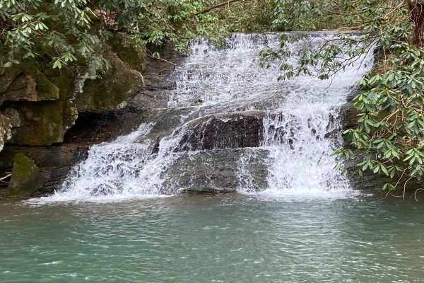
Tackett Creek / McLean Rock is an exceptional multi-day off-roading route for drivers seeking a mix of scenic mountain vistas, forested service roads, and technical challenges along the Kentucky-Tennessee border. Spanning approximately 33.5 miles, this route climbs from an elevation of 1,079 feet near Middlesboro, Kentucky, to a peak elevation of 2,912 feet, delivering a cumulative elevation gain of 4,115 feet. Perfect for properly equipped four-wheel-drive vehicles, high-clearance rigs, and SxSs, the trail weaves through the dense hardwood forests of the Cumberland Mountains, passing landmark peaks like Bryson Mountain and King Mountain. The terrain ranges from well-maintained forestry service roads and gravel sections to rugged, rocky trails that lead up to the breathtaking McLean Rock overlook. Along the way, drivers will encounter stunning mountain views, active beaver dams, and lush valleys that make it highly recommended to stretch this journey into a full weekend adventure. With a technical rating of 5, this route presents a moderate challenge that remains accessible to most experienced offroaders while still offering enough technical obstacles to keep things exciting. Offroaders should be prepared for several small creek crossings and a handful of slick rock ledges that may require careful tire placement, a spotter, or a winch to navigate safely, particularly during wet weather. Despite these technical sections, the trail can be run in almost any weather condition, and decent cell service is available at various high points along the ridge. Accessing the area generally requires a Tennessee Wildlife Resources Agency (TWRA) high-use permit, as the route traverses parts of the North Cumberland Wildlife Management Area. Ensure your vehicle is equipped with reliable recovery gear, a four-wheel-drive system, and decent ground clearance before tackling the climb up to the scenic overlook.

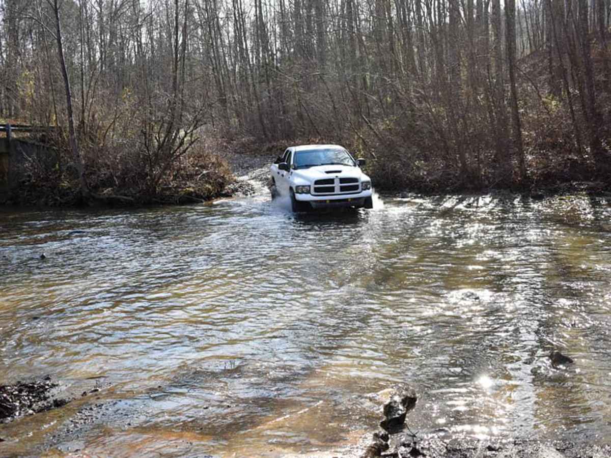
Photos of Tackett Creek / McLean Rock

Difficulty

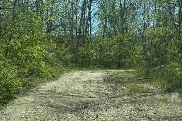
Most of the trail is forestry service roads with some main roads and rocky trails up to the overlook.

Technical Rating

5

Status Reports

Add Status Report
Bob Hogan
Jul 25, 2025
Open
NormalWashboard
Small machine had to pick best routes. Lots of bowling ball sized rocks last mile up to the cabin. Lots of fun.
Scott Story
Jul 06, 2025
2019 Jeep Wrangler
Open
I wasn’t quite sure what I was getting into on this trail ( McLean overlook trail) but it ended up being a blast. I was the only non SXS on the trail when I was there and the SXS riders couldn’t believe I had my Jeep up there. I am lifted 2.5” on 35” tires and am glad I had the skid plates here as they were tested and few times.My wife spotted for me and we made it to the overlook without any damage. The trail was dry and I probably wouldn’t have tried it if it was wet. I would rate this trail a solid dark blue and 6 in difficulty. The overlook was stunning and worth the effort. I am looking forward to going back and finishing the loop camping here, and seeing the rest of the area.
John van Kints
Sep 14, 2024
Open
Easy compacted gravel trail that can be done in 2WD.
Ted Derryberry
Sep 04, 2024
2023 Toyota 4Runner
Open
Normal
The main loop is fairly well maintained with some asphalt. I would rate it a "2" at most with a couple of rutted and rocky areas. A Subaru would have no problems. There is a good bit of undergrowth in areas and you should expect minor paint damage. Spots could be muddy after a rain. We only did a couple of hundred yards of the McLean Rock side road. That is at least a 4, probably a 5. I was having no problem with my stock 4Runner TRD Offroad, but with no backup vehicle or winch we turned around before we got in too far. Total time for the main loop was well under 3 hours.
Anna Shane
Apr 12, 2024
Open
Muddy/WetRough/Deteriorated
Rebecca Shaw
Jun 27, 2023
Open

Tackett Creek / McLean Rock Trail can be accessed by the following ride types:

  • High Clearance
  • Full Width

Access Description

Access to this trail system requires a valid land-use permit from the Tennessee Wildlife Resources Agency (TWRA), such as a high-use permit or an appropriate hunting license. Ensure permits are purchased in advance, as they are required for all drivers and passengers operating off-highway vehicles in the North Cumberland Wildlife Management Area.

Tackett Creek / McLean Rock Map

The onX Offroad Difference

onX Offroad combines trail photos, descriptions, difficulty ratings, width restrictions, seasonality, and more in a user-friendly interface. Available on all devices, with offline access and full compatibility with CarPlay and Android Auto. Discover what you're missing today!

Open Trail Map