Bald Rock Fork Rd

Total Miles2.3
Technical Rating
3Easy
Best TimeSpring, Summer, Fall, Winter
Trail TypeFull-Width Road
Accessible By
Open Trail Map

Trail Overview

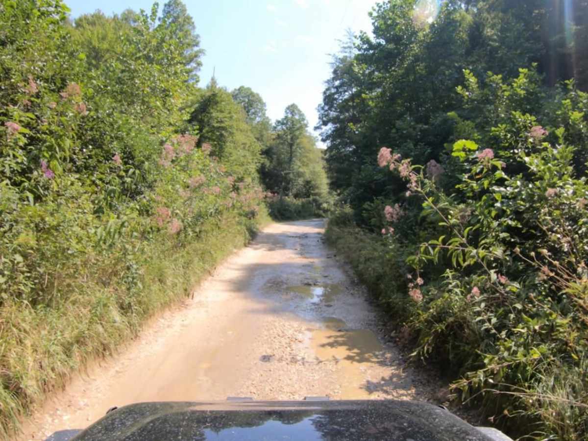
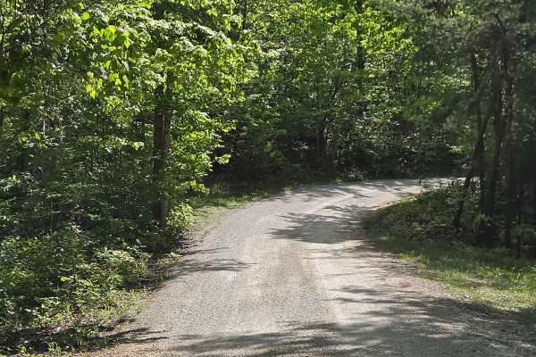
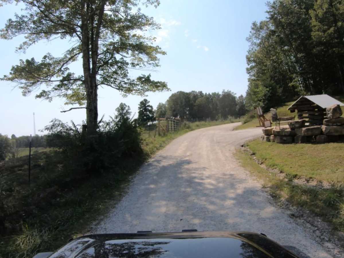
Bald Rock Fork Road is an excellent, beginner-friendly off-road route that offers a scenic introduction to the rugged beauty of Kentucky's Red River Gorge. Extending roughly 2.3 miles, this trail features a diverse mix of terrain including mostly well-maintained gravel surfaces, a couple of shallow creek crossings, a brief run through a rocky creek bed, and a steep gravel hill climb that tests basic traction. Driving along the route, travelers will climb and descend through dense Appalachian forest, transitioning between elevations of 774 feet and 1,181 feet. Beyond the driving experience, the trail is rich with cultural history and recreational opportunities, passing by weathered, historic oil buildings and several active, working wells that showcase the region's resource-extracting heritage. The surrounding area is a world-renowned destination for rock climbing, and visitors will find multiple designated parking spots along the roadside that provide direct foot access to popular crags and scenic hiking trails. These trailheads offer excellent opportunities to stretch your legs and explore the sandstone arches and cliffs that define the Gorge. Whether planning a quick scenic drive or using it as a base camp for hiking and climbing adventures, this trail delivers a quintessential Red River Gorge experience with minimal technical difficulty.

Photos of Bald Rock Fork Rd

Difficulty

This trail is 90% gravel with some creek crossings and a steep gravel incline.

History

The route showcases the area's resource extraction history, passing by several old, weathered oil buildings and active, working oil wells along the trail.

Technical Rating

3

Status Reports

Add Status Report
Ethan Doors
Oct 17, 2025
2004 Toyota Sequoia
Open
DustyMuddy/Wet
Lots of fun creek crossings. Not technical. Be careful coming out the creeks.
Scott Kusel
Sep 21, 2025
2017 Jeep Wrangler
Open
Jason Edward’s
Sep 19, 2025
Open
Nice easy trail
Andy Kachelmeier
May 11, 2025
2023 Ford Bronco
Open
Normal
Brandon Garber
Apr 17, 2025
2011 Toyota RAV4
Open
Muddy/WetRough/Deteriorated
Beautiful trail with lots of old oil pumps. The oil lines run along the road. There's a few shallow river crossings, and it is quite bumpy for a crossover at least.
Gary Mccartney
Sep 28, 2024
2023 Chevrolet Colorado
Open
Muddy/Wet
open and muddy
Jeremy Bartrom
Sep 15, 2024
2023 Jeep Gladiator
Open
NormalDusty
Steven Hamm
Aug 20, 2024
2022 Ford Bronco Sport
Open
Muddy/Wet
Nice trail. You are essentially in a creek bed. Water depth wasn't an issue but I could see it possibly being one for lower-clearance vehicles after heavy rains. My little Bronco Sport did fine.
Jesse S
Aug 10, 2024
2021 Toyota 4Runner
Open
Normal
James Smith
Jul 14, 2024
2024 Ford Bronco
Open
Normal
Austin Watkins
May 25, 2024
2024 Ford Bronco
Open
Tony Cox
Feb 14, 2024
2023 Toyota Tacoma
Open
Muddy/WetRough/Deteriorated
Aaron Woelfel
Dec 21, 2023
Open
Muddy/WetSnow/Ice
Puddles had a thin layer of nice on them. Easy and had fun!
Jacob Britt
Jul 16, 2023
Open
Normal
Brian Foard
Jun 10, 2023
Open
Dusty

Bald Rock Fork Rd Trail can be accessed by the following ride types:

  • Single Track
  • 50 Inch
  • 60 Inch
  • High Clearance
  • Full Width

Bald Rock Fork Rd Map

The onX Offroad Difference

onX Offroad combines trail photos, descriptions, difficulty ratings, width restrictions, seasonality, and more in a user-friendly interface. Available on all devices, with offline access and full compatibility with CarPlay and Android Auto. Discover what you're missing today!

Open Trail Map