Trail Overview
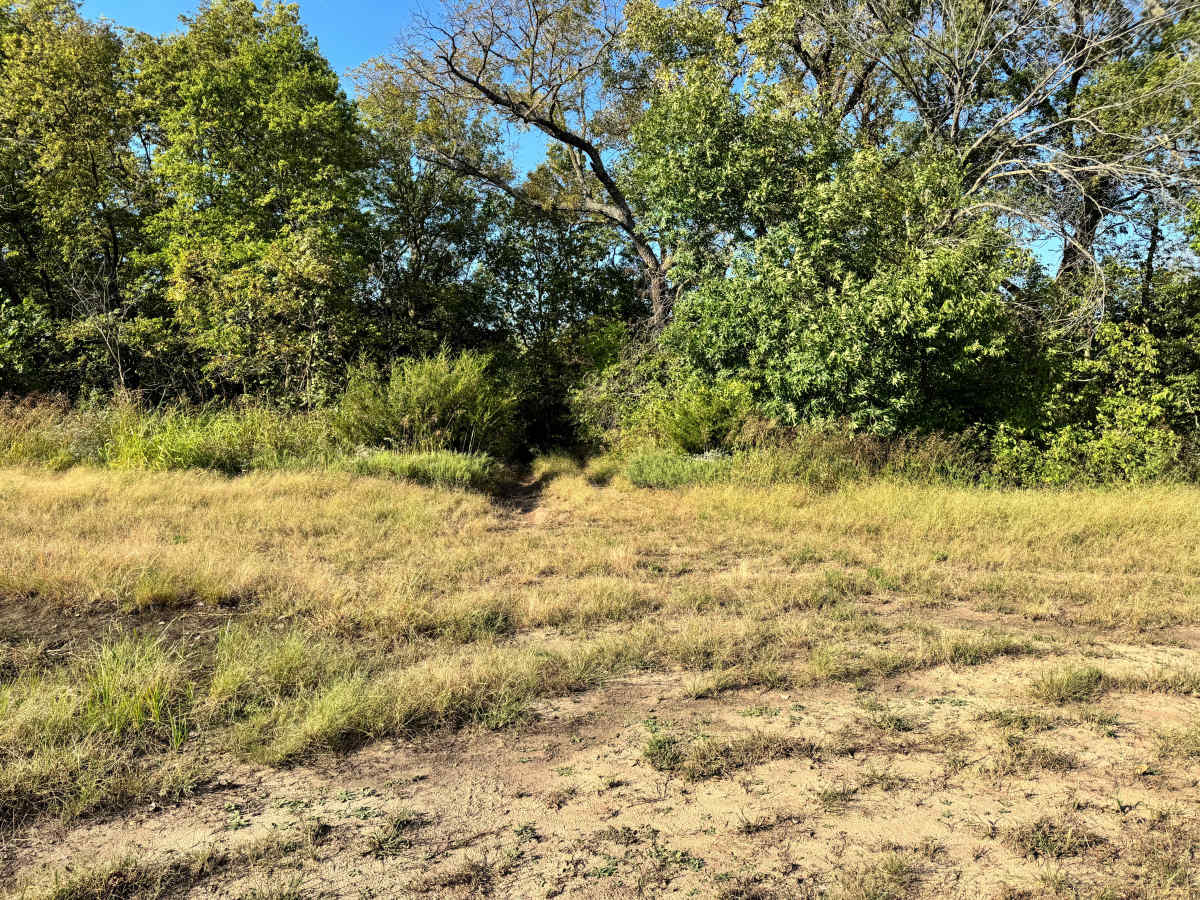
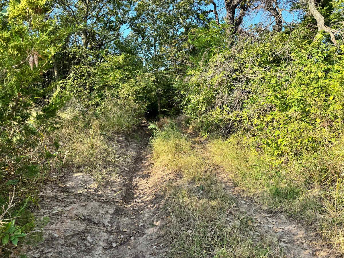
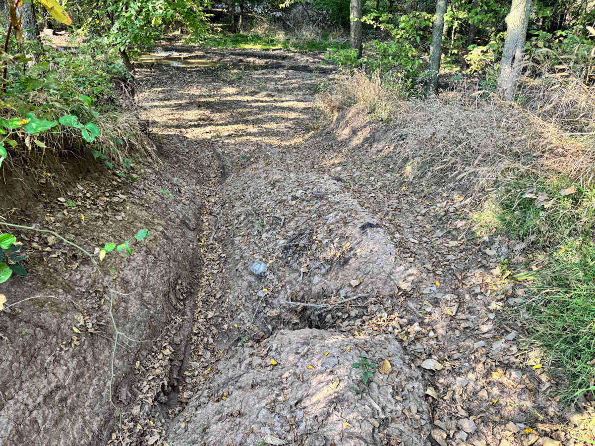
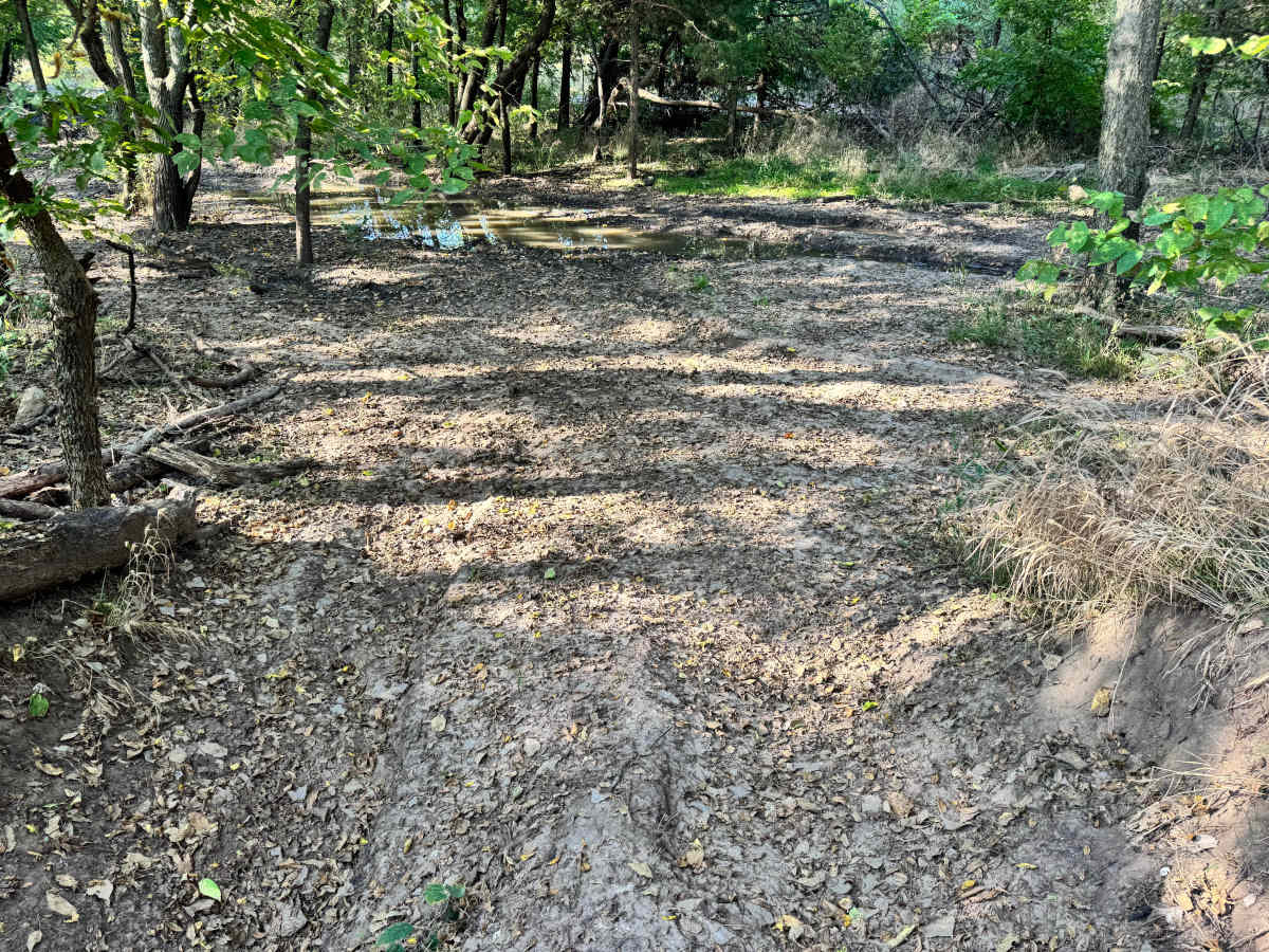
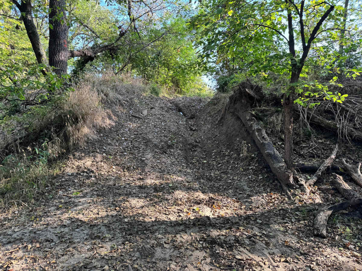
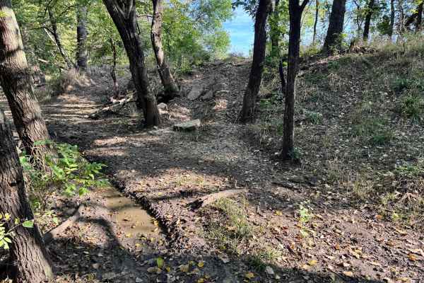
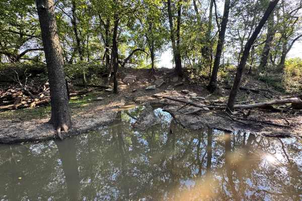
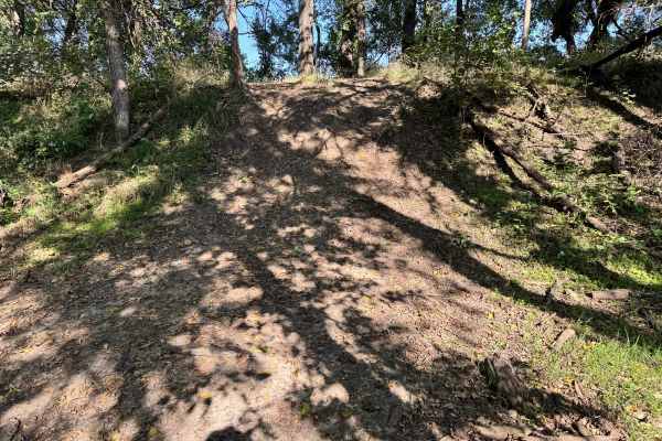
This trail features a short hill climb that becomes more challenging due to erosion, which has created a noticeable off-camber lean along the ascent. As you work your way up, careful tire placement is important to maintain balance and avoid sliding toward the lower edge. The surface is uneven and loose in sections, making traction a bit unpredictable. At the bottom, the trail immediately drops into the infamous mud hole of Champlin’s Challenge, a well-known obstacle that can swallow tires and test recovery gear. While the hill itself is not extremely steep, the combination of off-camber erosion and the muddy descent ahead makes this trail better suited for confident drivers with capable rigs.
Difficulty
This trail is moderately challenging due to off-camber erosion on the hill climb and the immediate drop into Champlin’s Challenge mud hole. Traction and balance are key, and recovery gear is recommended. It’s best suited for capable rigs and experienced drivers.
History
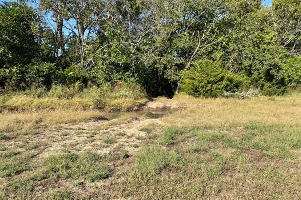
This park was formerly known as Sandy Bottoms, and longtime visitors may still refer to it by that name. The access road and staging area have evolved over time, but it remains a well-known local spot for off-road events and community rides.