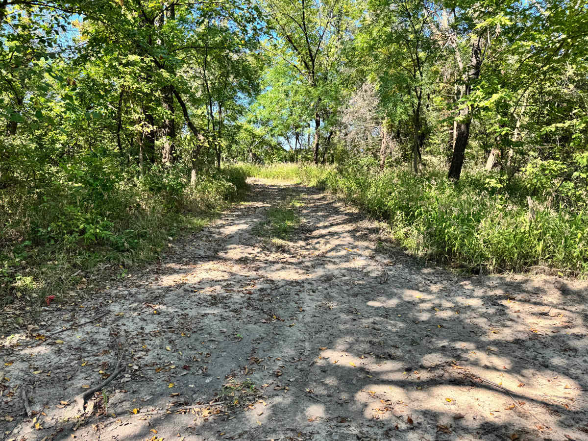
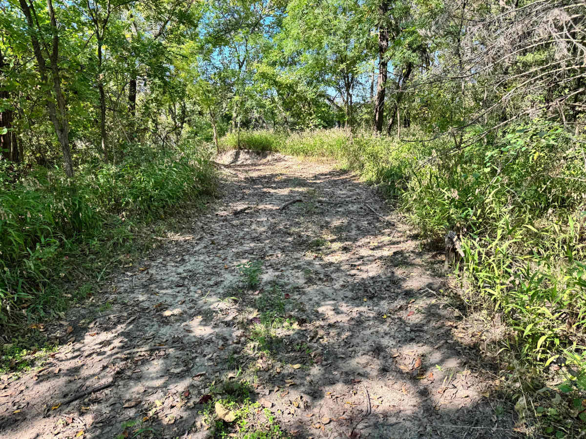
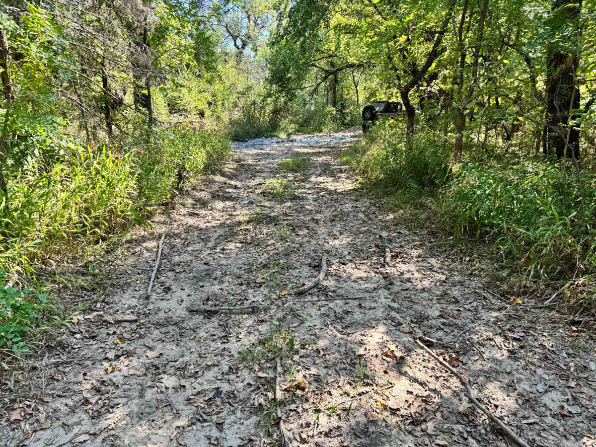
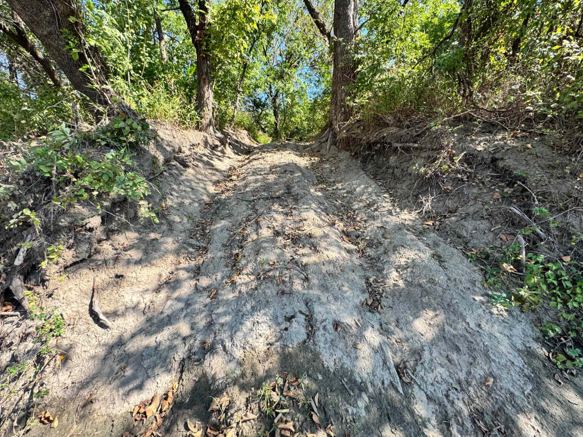
Trail Overview
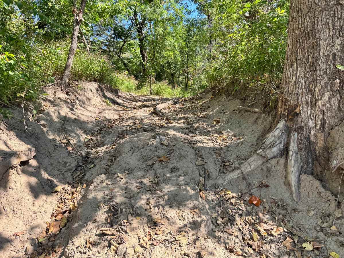
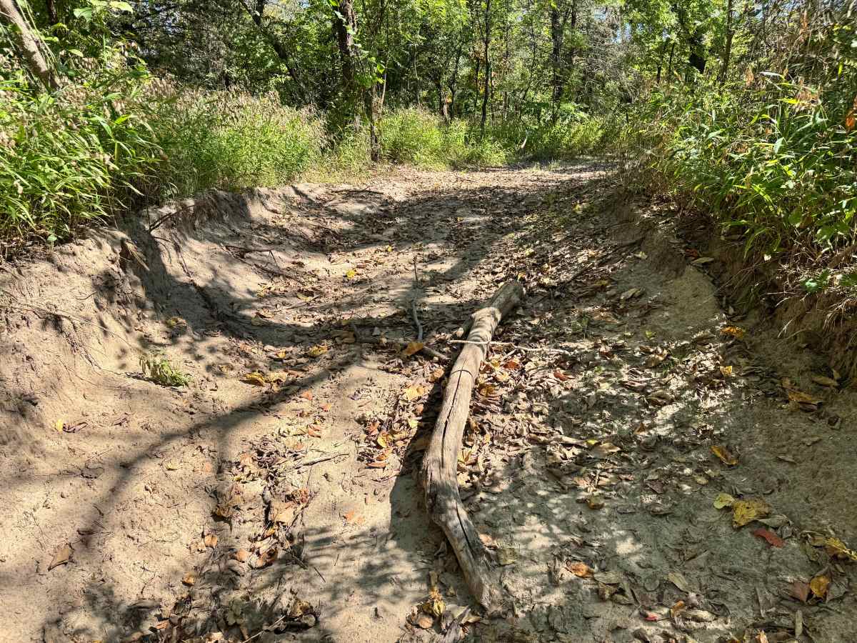
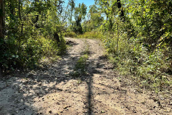
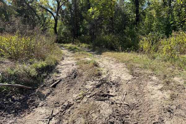
This trail descends directly to the Arkansas River sandbar, offering access to the river’s edge but demanding caution from drivers. As you approach the water, the entrance becomes notably steep, creating a brief but intense drop that can place vehicles in a near-vertical position. The condition of the sandbar itself is unpredictable, as it shifts frequently with changing water levels and river flow. Depending on recent rainfall or seasonal changes, the sandbar may be exposed, partially submerged, or completely hidden. Because turnaround space is limited and recovery options are minimal at the bottom, it is crucial to evaluate conditions before committing to the descent.
Difficulty
This trail is challenging due to the steep drop into the riverbank and the unpredictable nature of the sandbar. Water levels can drastically alter the route, and once committed, turning around can be difficult. Drivers must use caution and be confident in descent and recovery. There is a tree right along the edge on one side with exposed roots that could cause body damage.
History
This park was formerly known as Sandy Bottoms, and longtime visitors may still refer to it by that name. The access road and staging area have evolved over time, but it remains a well-known local spot for off-road events and community rides.