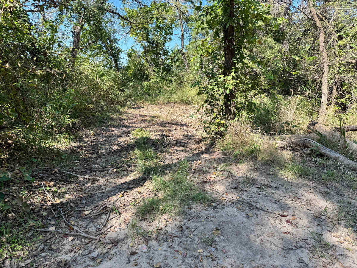
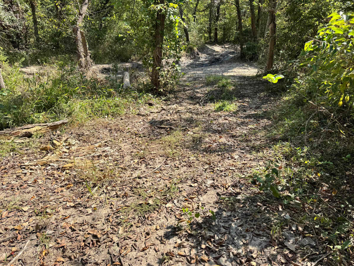
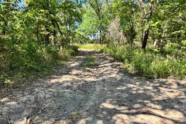
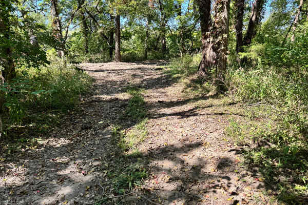
Trail Overview
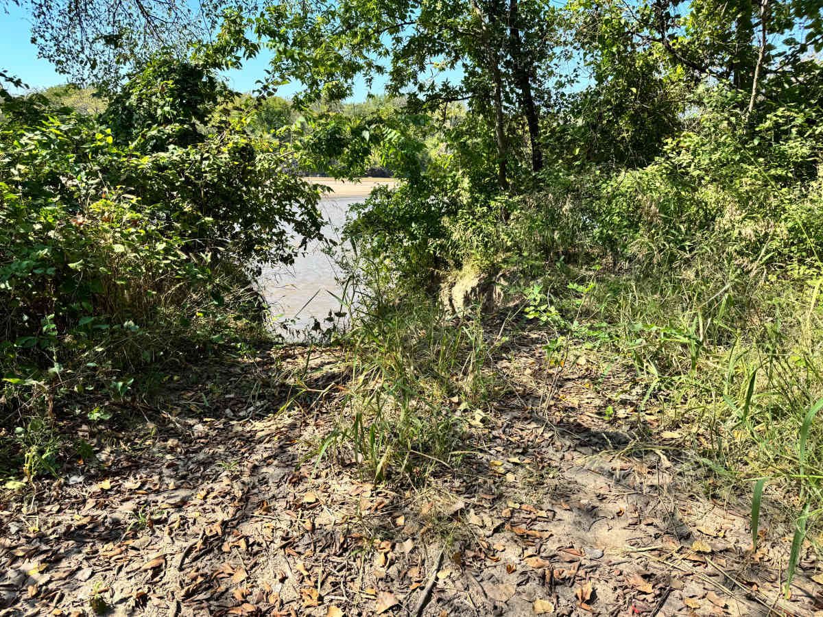
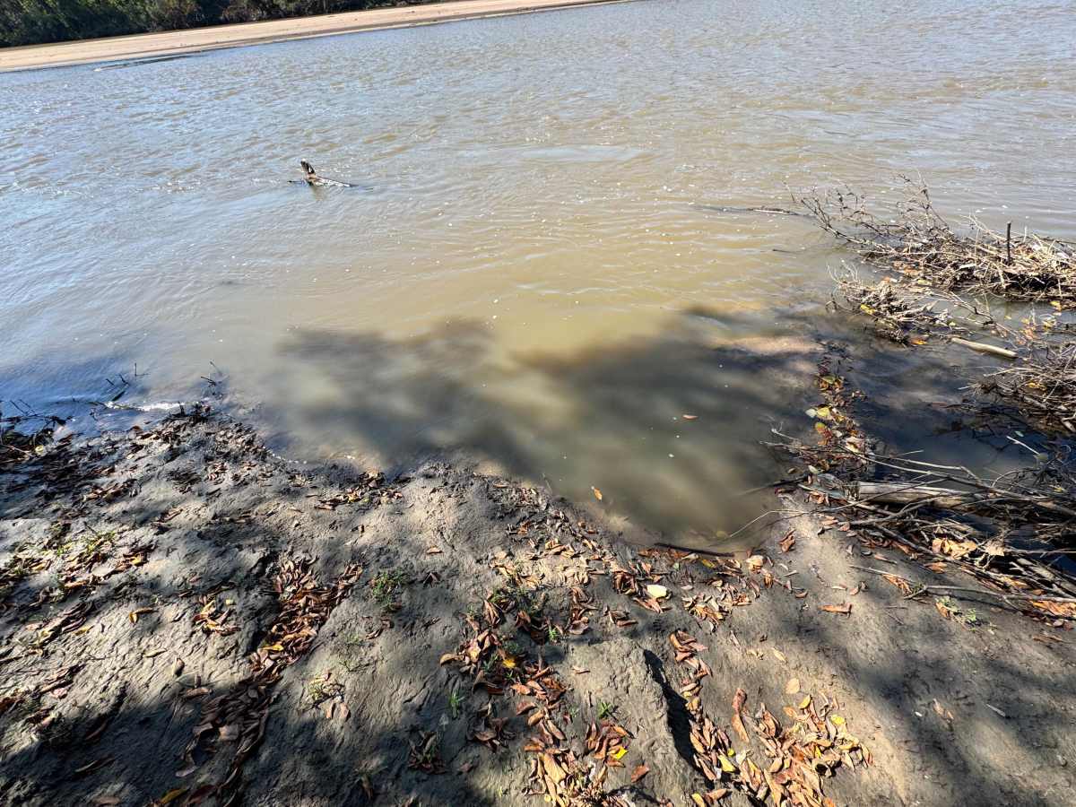
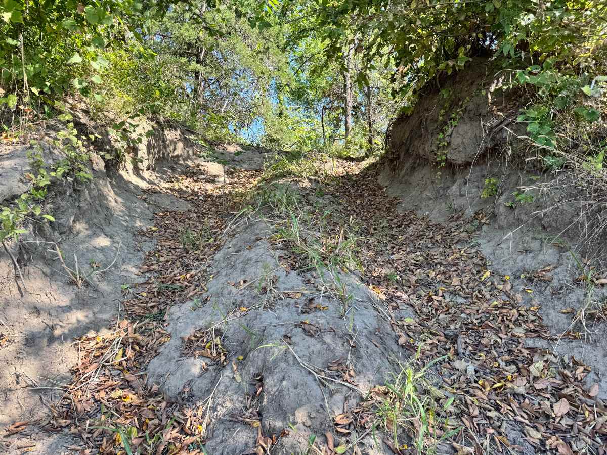
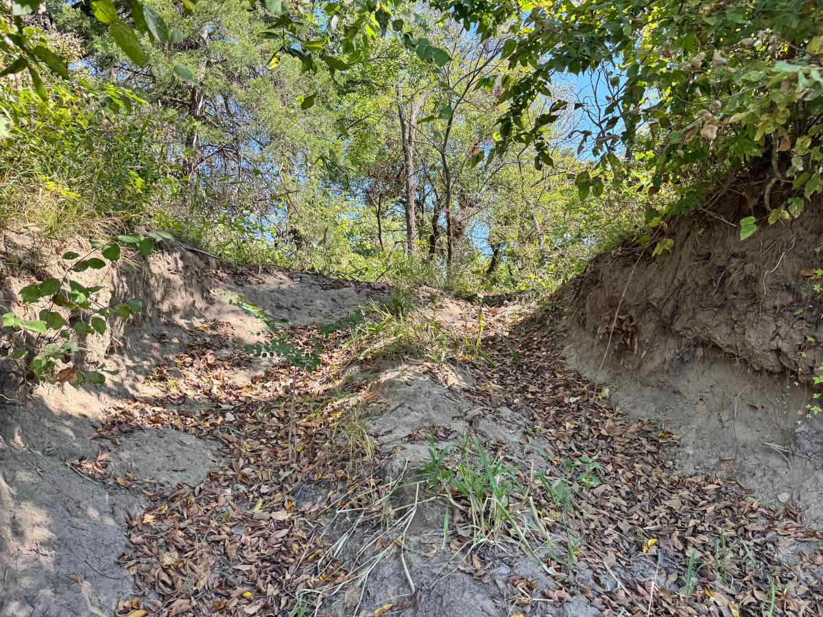
This trail descends directly toward the Arkansas River and typically provides access to a sandbar at the water’s edge. However, during mapping, the water level was too high to confirm the sandbar’s condition or visibility. Local information suggests the sandbar is normally exposed, but rising water can completely cover it. Because the final approach includes a short, steep hill leading down to the river, it’s important to assess conditions before committing. If the sandbar is submerged, turning around or backing up the hill is going to be the best option. Always check water levels first to avoid getting trapped at the bottom.
Difficulty
While the trail itself is simple, the steep descent to the river and the uncertainty of the sandbar significantly increase the risk. High water levels can eliminate turnaround space, making recovery or reversing uphill difficult. Drivers must assess conditions carefully before committing.
History
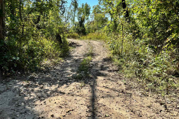
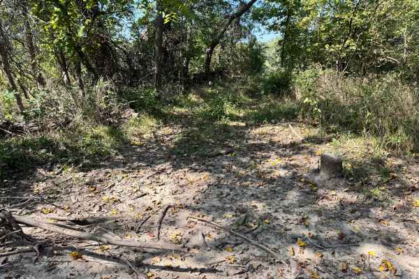
This park was formerly known as Sandy Bottoms, and longtime visitors may still refer to it by that name. The access road and staging area have evolved over time, but it remains a well-known local spot for off-road events and community rides.