Trail Overview
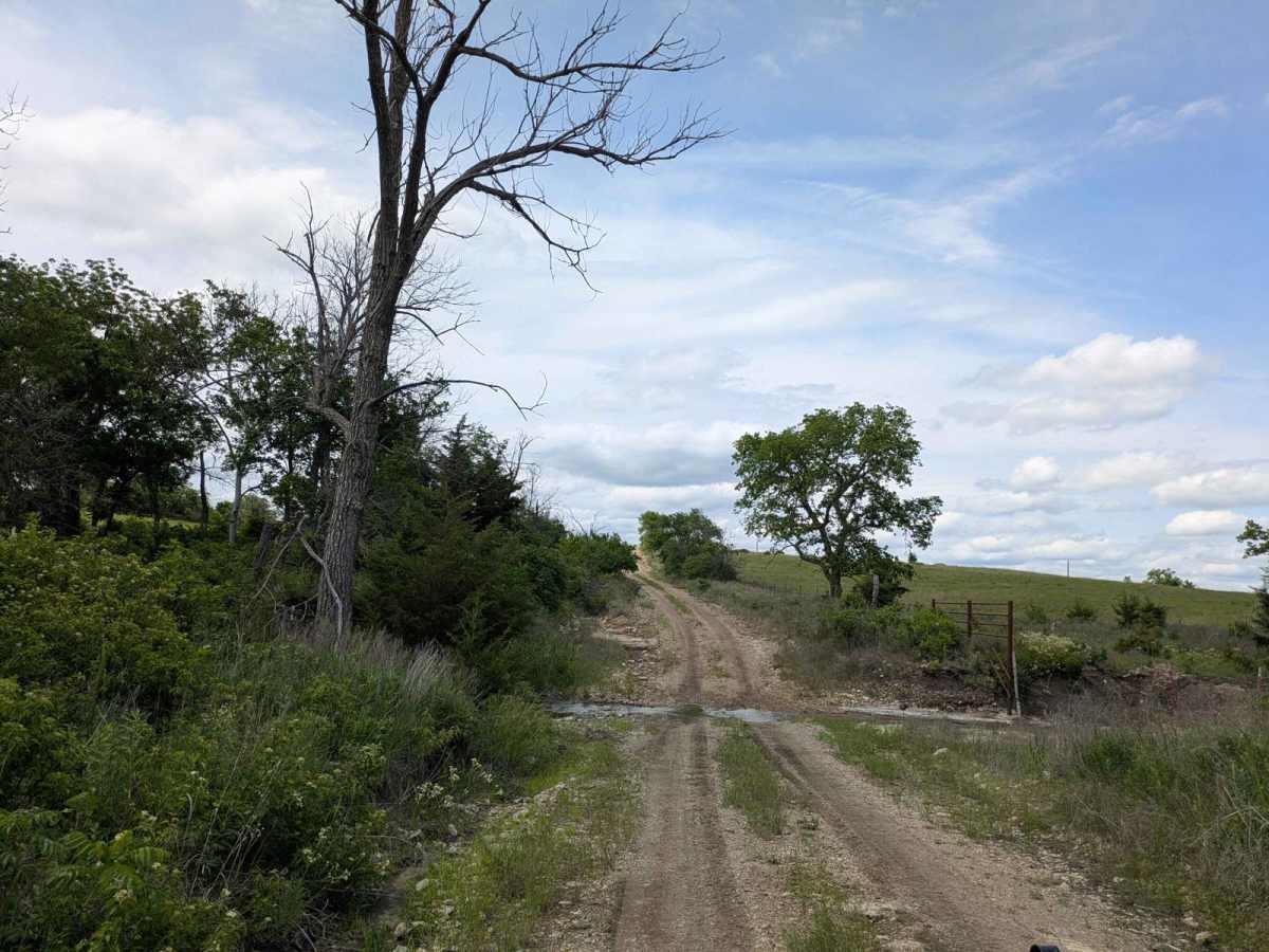
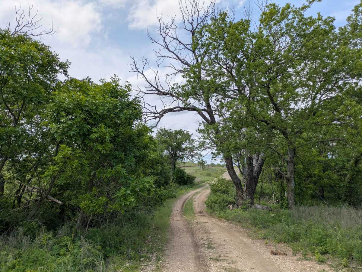
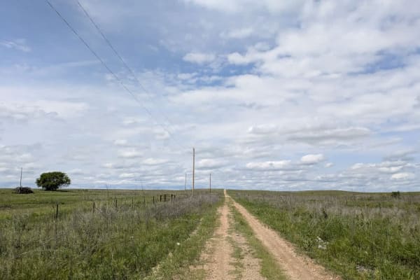
The track squeezes into a single lane of muddy, rock-strewn gravel that rises and dips over a handful of short climbs and drops. Tight, twisting corners keep you on your toes, and a few shallow stream crossings add to the fun. This stretch of the larger route feels especially scenic, yet fresh tire marks are rare aside from the odd ranch truck heading out to check cattle. You will not find campsites, bins, or drinking water here, and cell reception flickers on and off, so keep an eye on your onX map whenever a bar appears.
Difficulty
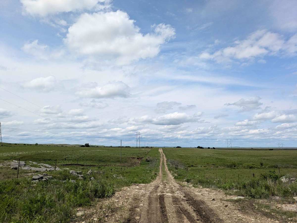
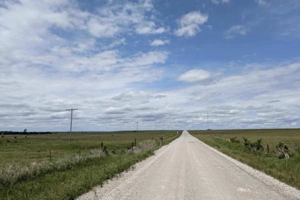
This road consists primarily of well-maintained county gravel roads and rural connectors running through the eastern edge of the Flint Hills. Roads are graded regularly, wide enough for two vehicles to pass, and suitable for all high-clearance vehicles and most passenger vehicles in dry conditions.
History
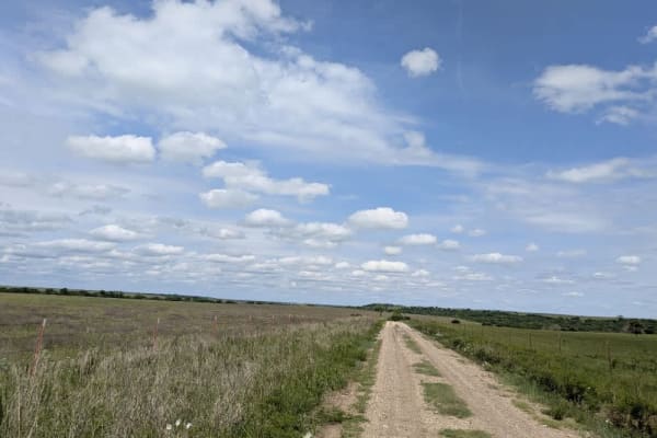
This route traces the historic heartland of the Flint Hills, a region that has remained largely untouched by modern agriculture due to its shallow, rocky soils--making it one of the last strongholds of North America's tallgrass prairie. The trail crosses land with deep cultural roots--from Native American hunting grounds to working cattle ranches. Expect long views over tallgrass prairie, passing ghost towns, century-old barns, and scenic byways that have carried generations of ranchers and travelers alike.