Trail Overview
The route is a single-lane track, its hard-packed dirt quickly turning to sticky clay whenever it rains. Midway along, a tight creek crossing waits; the banks drop away more sharply than they appear from above, and the water sits a little deeper than most drivers anticipate, though a careful approach gets a high-clearance vehicle through without drama. Beyond the water, the surface flips between slick mud and pockets of loose rock, and then it ends at a small reservoir that can block further travel after heavy storms. The whole stretch feels remote and rarely sees other traffic, yet a nearby interstate is used by fast-moving trucks, so stay alert near junctions. You will not find campsites, trash bins, or water taps, and cell reception fades in and out, so keep an eye on your onX map whenever a signal pops up.
Difficulty
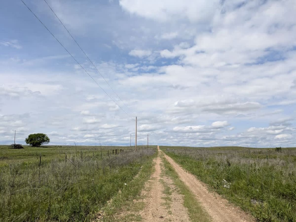
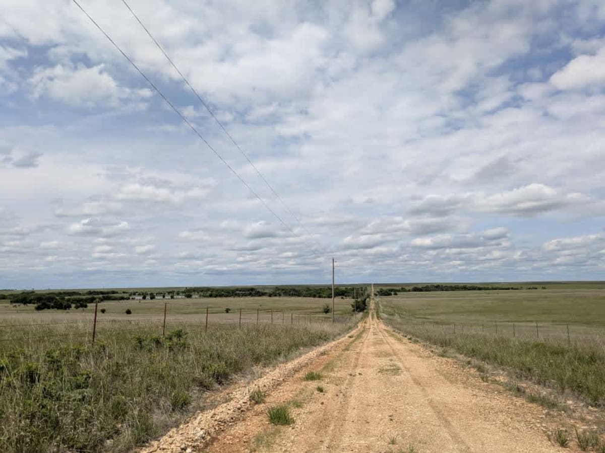
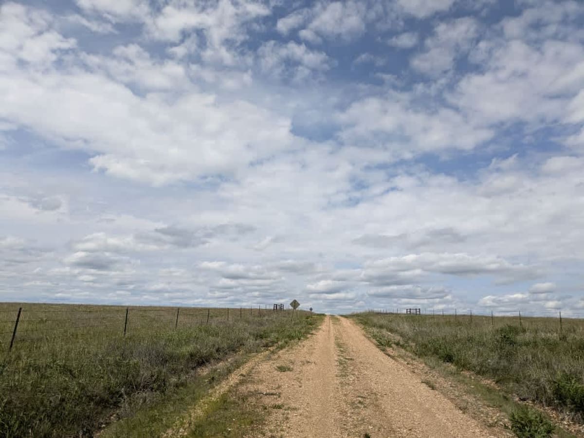
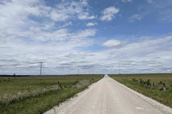
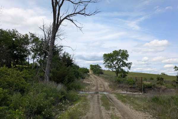
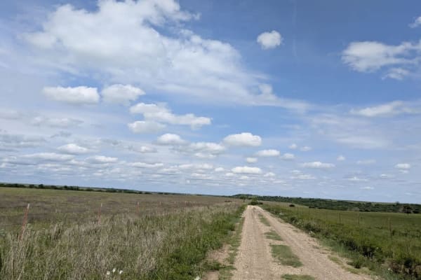
This road consists primarily of well-maintained county gravel roads and rural connectors running through the eastern edge of the Flint Hills. The roads are graded regularly, wide enough for two vehicles to pass, and suitable for all high-clearance vehicles and most passenger vehicles in dry conditions.
History
This route traces the historic heartland of the Flint Hills, a region that has remained largely untouched by modern agriculture due to its shallow, rocky soils--making it one of the last strongholds of North America's tallgrass prairie. The trails crosses land with deep cultural roots--from Native American hunting grounds to working cattle ranches. Expect long views over tallgrass prairie, passing ghost towns, century-old barns, and scenic byways that have carried generations of ranchers and travelers alike.