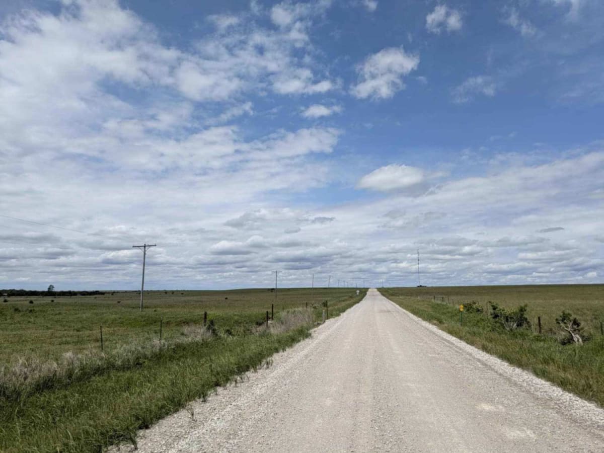
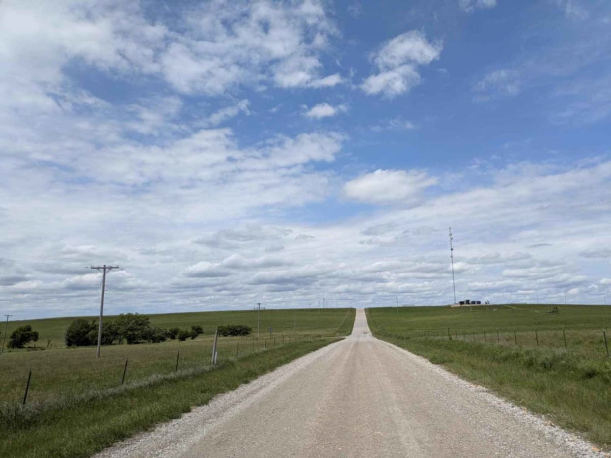
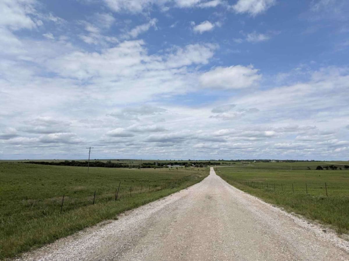
Trail Overview
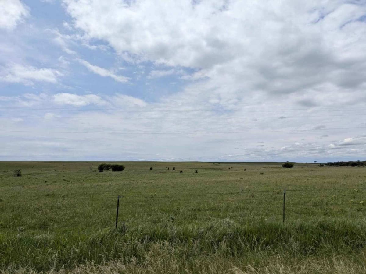
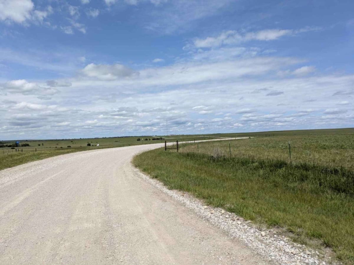
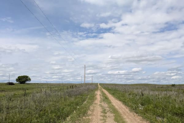
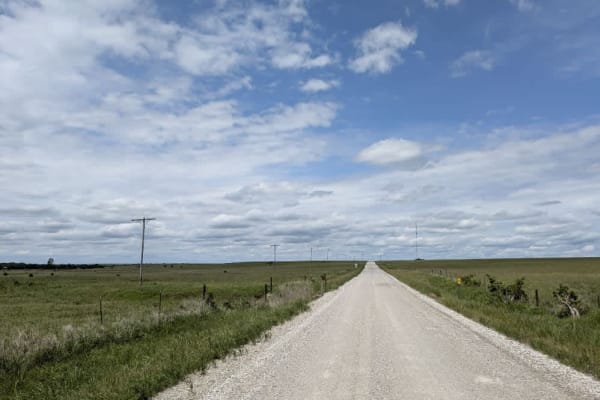
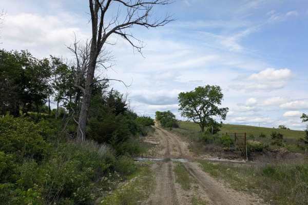
The track is largely well-graded, yet gentle climbs and drops add a little variety, and the sharper bends carry washboard ridges that rattle through the chassis. On either side, open fields give way to nodding pump jacks and fenced pastures where cattle graze, creating a patchwork of agriculture and oil production. Although the surface stays in decent shape, you will not find a single pull-out suitable for camping, nor any bins or water taps. Cell reception is spotty, so watch your onX map whenever a bar flickers to life.
Difficulty
This road consists primarily of well-maintained county gravel roads and rural connectors running through the eastern edge of the Flint Hills. Roads are graded regularly, wide enough for two vehicles to pass, and suitable for all high-clearance vehicles and most passenger vehicles in dry conditions.
History
This route traces the historic heartland of the Flint Hills, a region that has remained largely untouched by modern agriculture due to its shallow, rocky soils--making it one of the last strongholds of North America's tallgrass prairie. The trail crosses land with deep cultural roots--from Native American hunting grounds to working cattle ranches. Expect long views over tallgrass prairie, passing ghost towns, century-old barns, and scenic byways that have carried generations of ranchers and travelers alike.