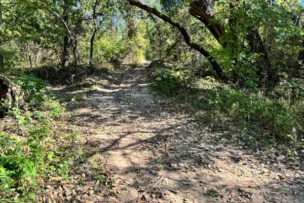
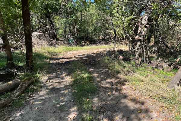
Trail Overview
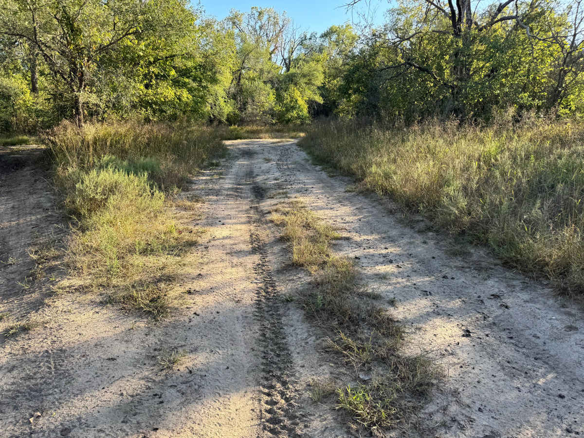
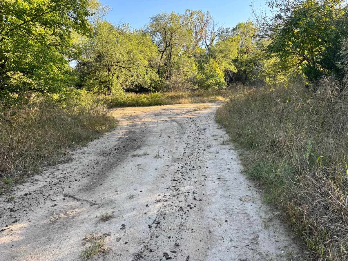
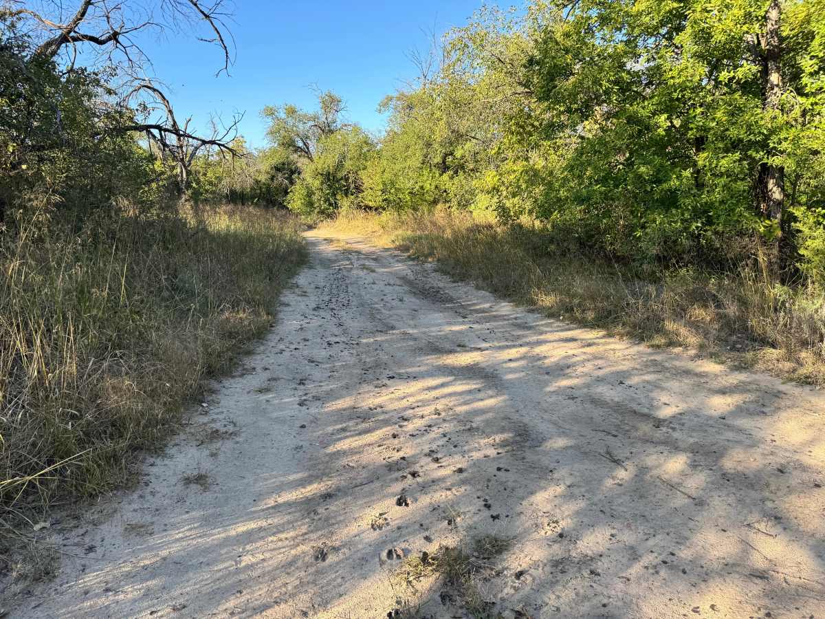
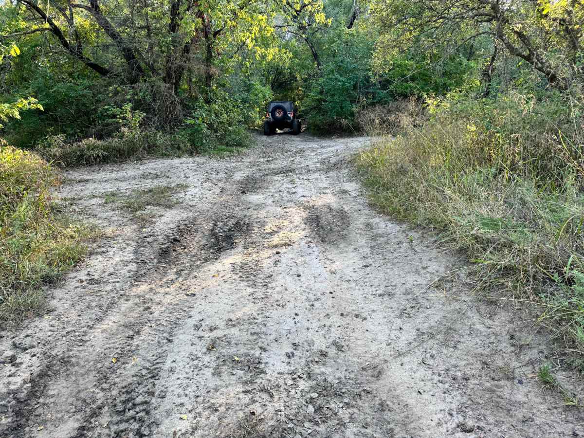
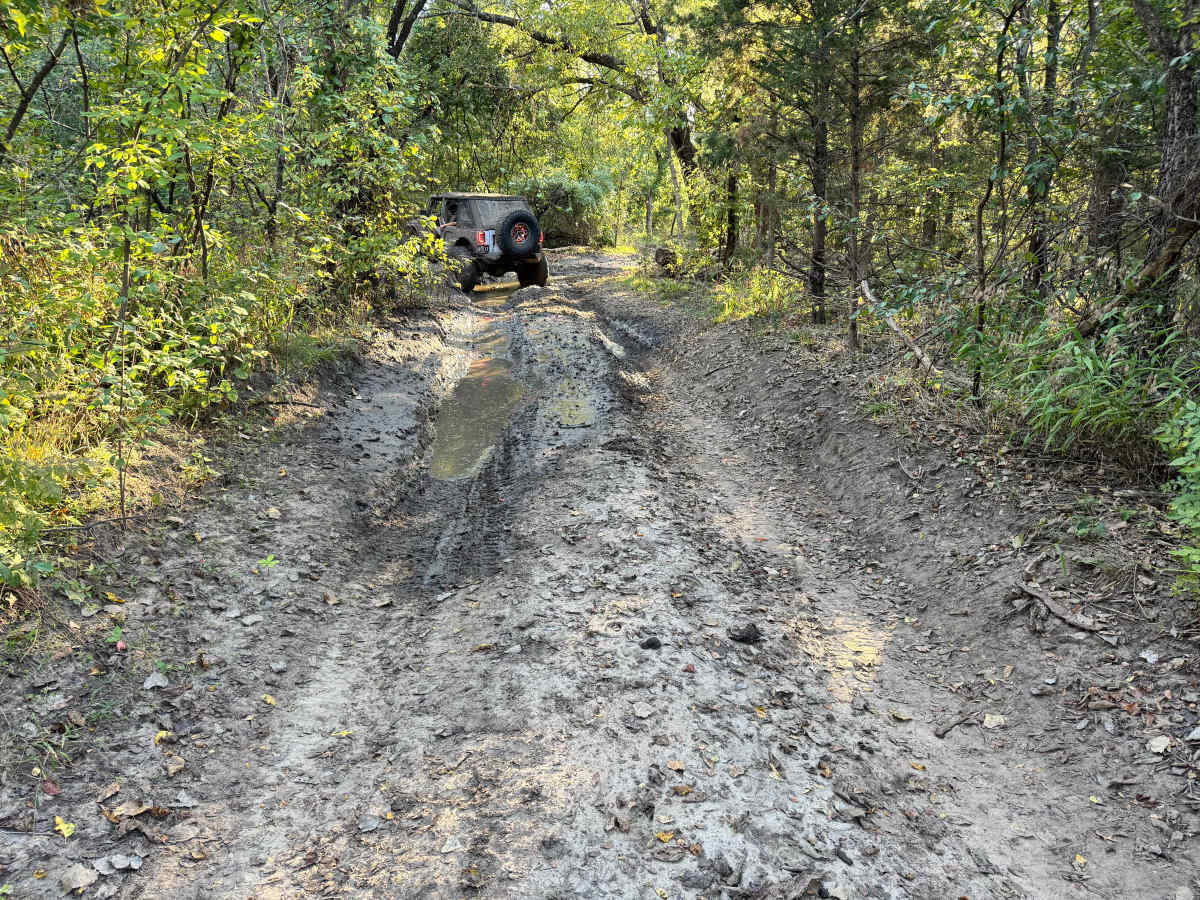
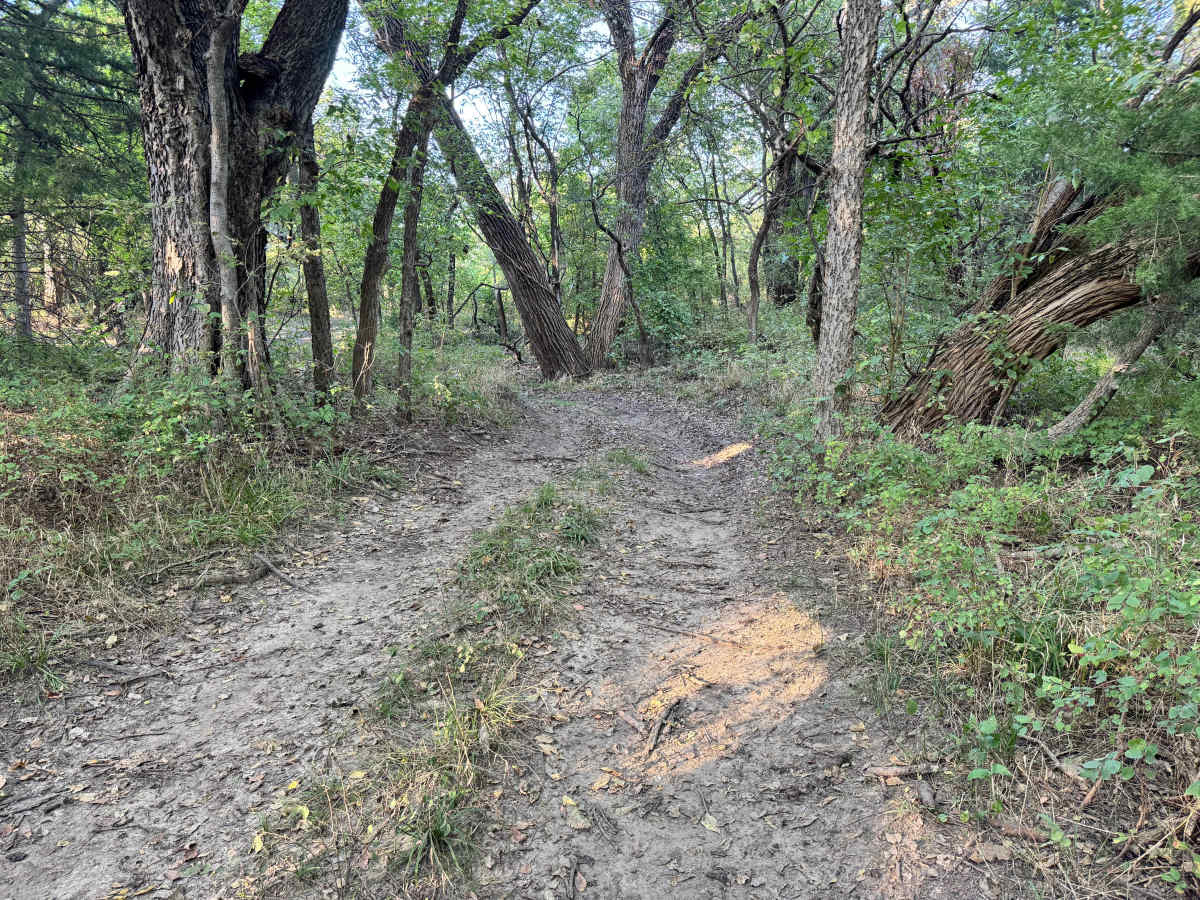
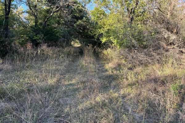
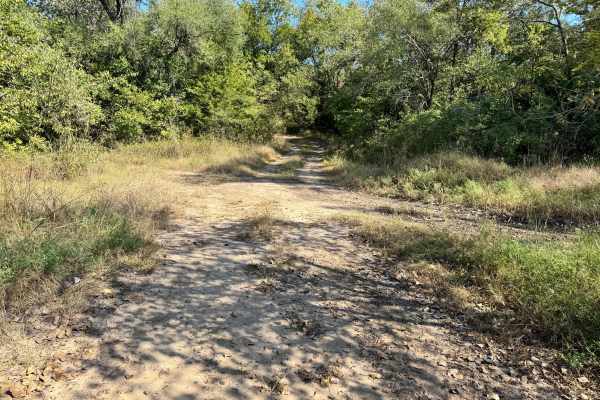
This trail begins as an easy, open path with firm sandy soil and plenty of room to maneuver. The route starts off fairly straightforward, winding gently through light brush and wide clearings. However, as you progress deeper into the trees, the terrain begins to change. The trail narrows and the canopy thickens, leading into a shaded, low-lying section where moisture collects. Here, you’ll encounter a muddy stretch that can be deceptively slick. While the mud appears to have a solid base underneath, it is still sloppy enough to cause wheel spin or loss of traction. Caution is needed to maintain control through this final section.
Difficulty
This trail earns a moderate rating due to the changing terrain and challenging muddy section near the end. While much of the route is straightforward and easy to navigate, the final stretch within the dense trees introduces deeper, slippery mud that can test traction and vehicle control. Drivers should be prepared for potential wheel spin and the need to maintain steady momentum. Though the mud appears to have a firm base, it can still be unpredictable after rain.
History
This park was formerly known as Sandy Bottoms, and longtime visitors may still refer to it by that name. The access road and staging area have evolved over time, but it remains a well-known local spot for off-road events and community rides.