Trail Overview
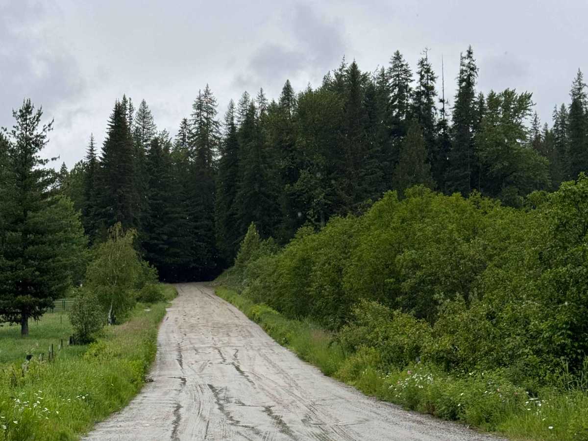
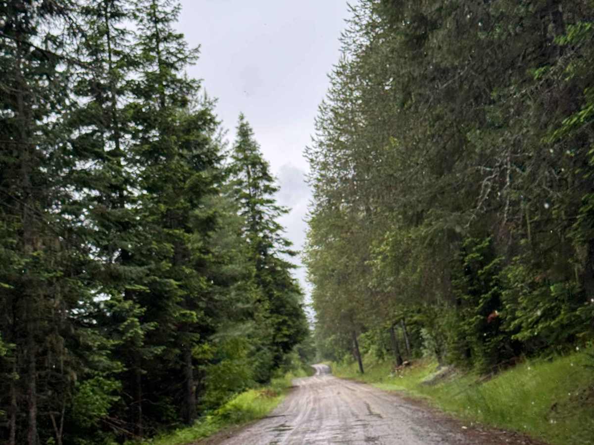
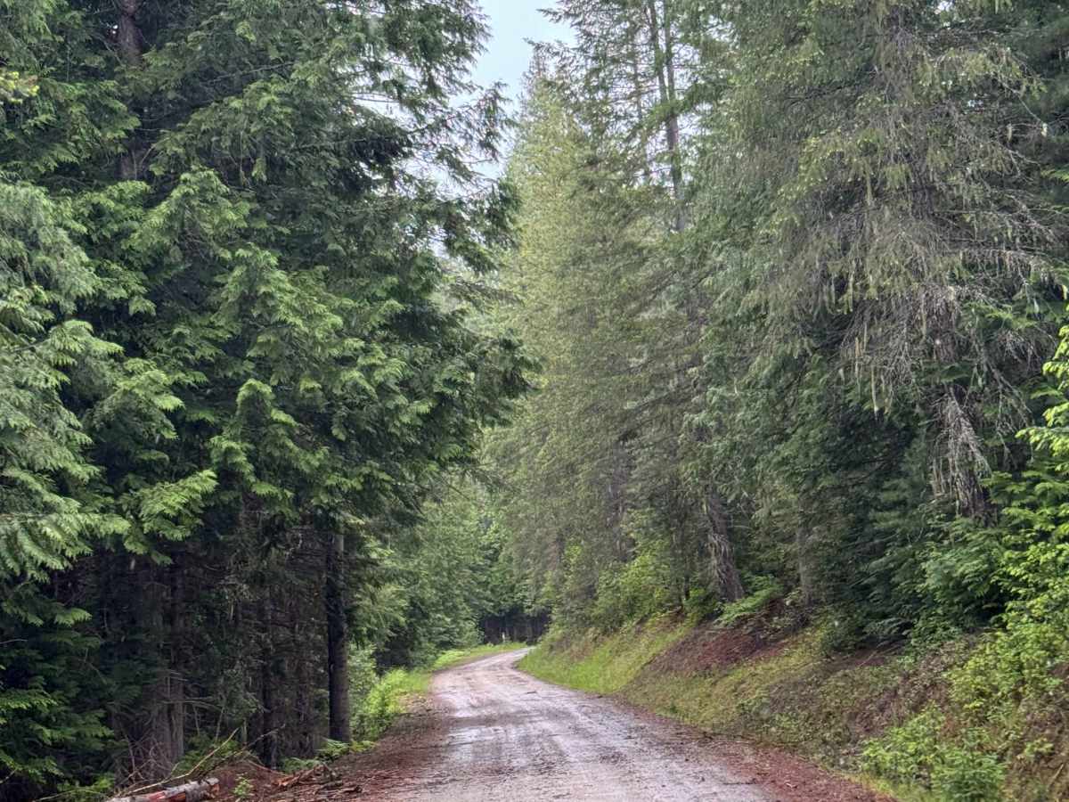
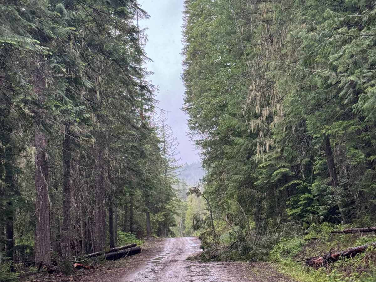
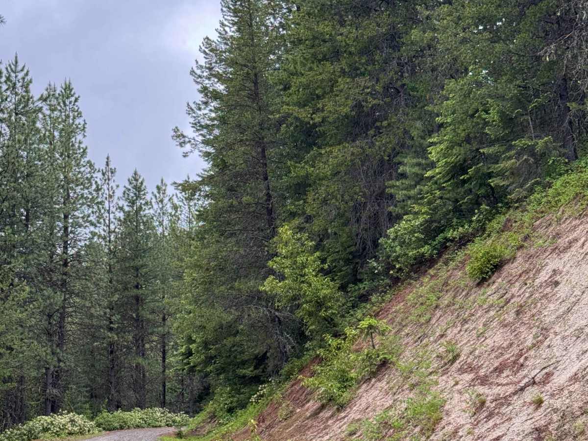
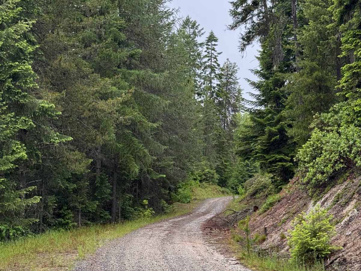
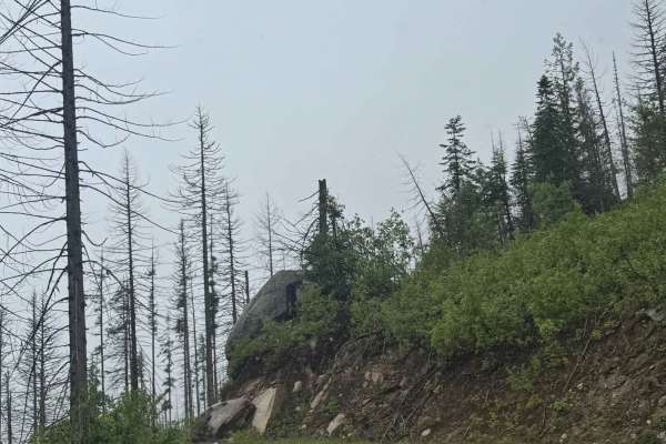
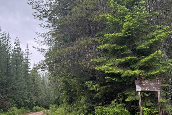
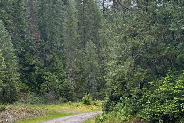
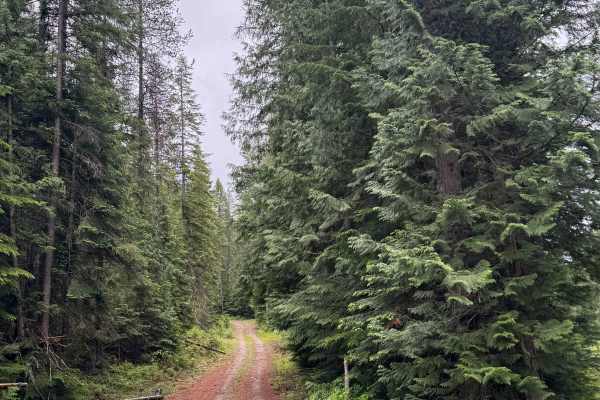
This trail starts wide and gravel-based, passing through private property. You will begin to gradually climb and navigate switchbacks as you enter the National Forest. The trail gains over 2,800 feet of elevation as it climbs to the top of Gleason Mountain. The road narrows to one lane with places to pass, but you must navigate the tight trees and overgrown vegetation. There are boulders you must crawl over and rock steps that are sticking over a foot out of the ground, as well as very deep ruts and wash pushing 3 feet deep. It is imperative to take your time and choose a proper line to avoid falling into the deep ruts and damaging your vehicle. High clearance 4x4 is necessary for the trail. While climbing, you will have views of the mountains and surrounding ridges, and there are several areas for dispersed camping, including at the top of the mountain, as camping is allowed on this trail in the National Forest portion. At the top, it flattens out slightly, and there are a couple of different spots for vehicle camping. Cell phone service was nonexistent on the trail, and there are no amenities, so you should travel with all needed supplies, such as a spare tire and a tire repair kit for navigating the rocky sections. The nearest supplies and services are less than 5 minutes from the beginning of this trail in Priest Lake, Idaho.
Difficulty
This road starts wide and gravel-based through private property, then turns to dirt in the National Forest. There are ruts and wash pushing 3 feet deep, as well as large boulders sticking out of the ground a foot or more. The trail climbs and has switchbacks and off-camber sections. Overgrown vegetation lines the entire trail. High clearance 4x4 required.