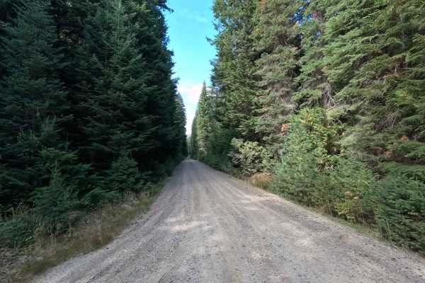
Lamb Creek Connector - FS 219

Total Miles4.8
Technical Rating
2Easy
Best TimeSpring, Summer, Fall
Trail TypeFull-Width Road
Accessible By
Open Trail Map

Trail Overview

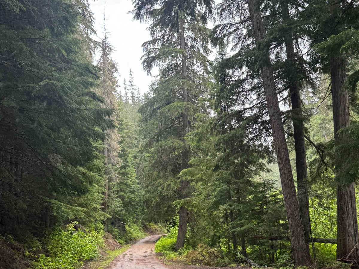
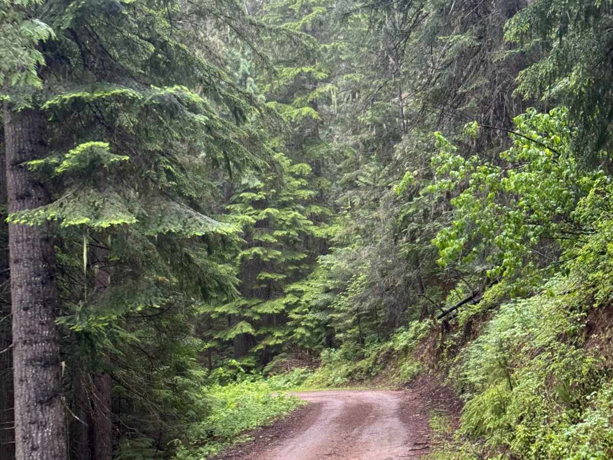
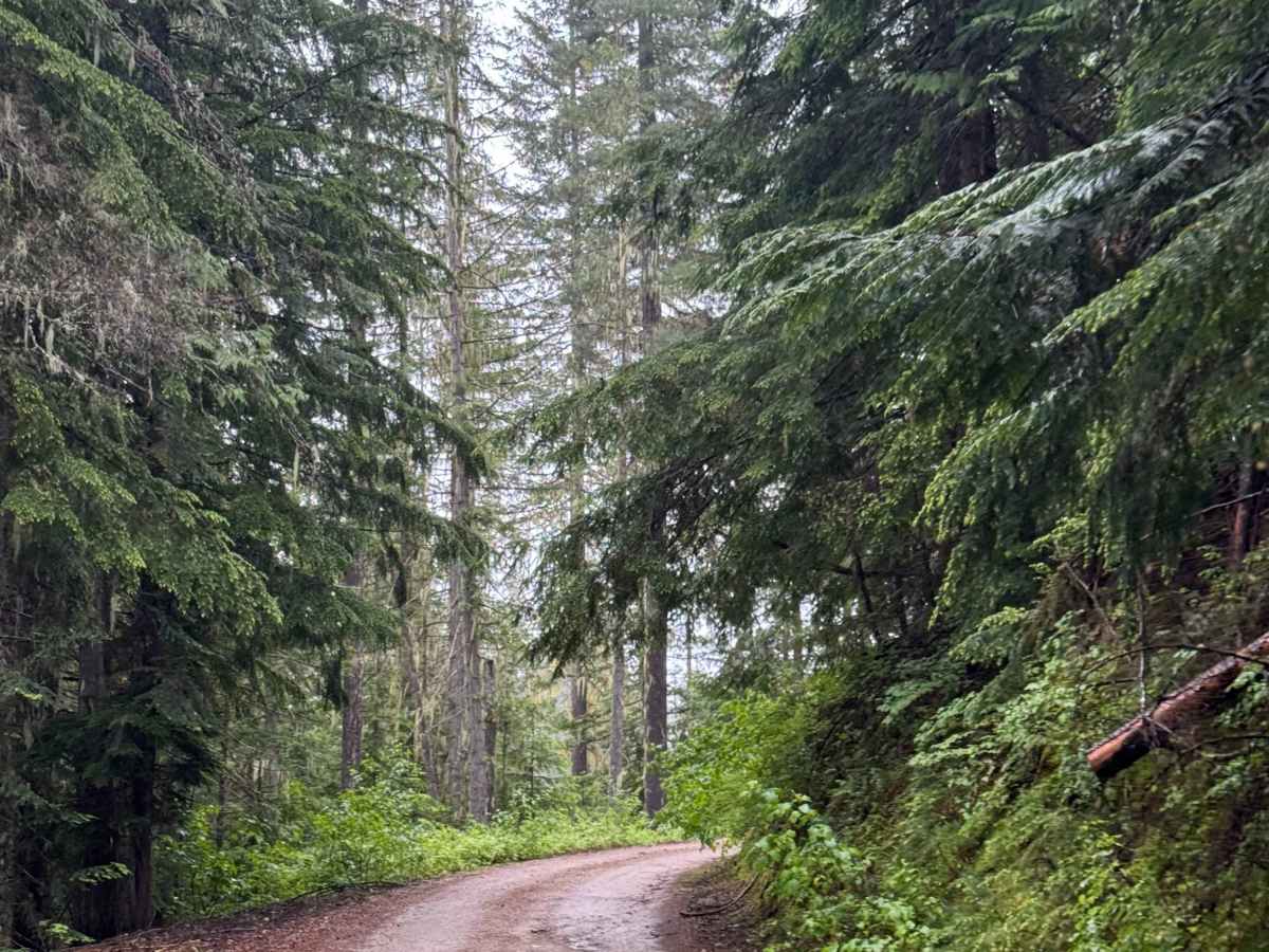
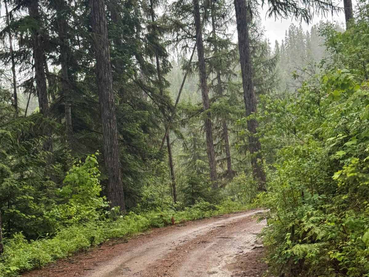
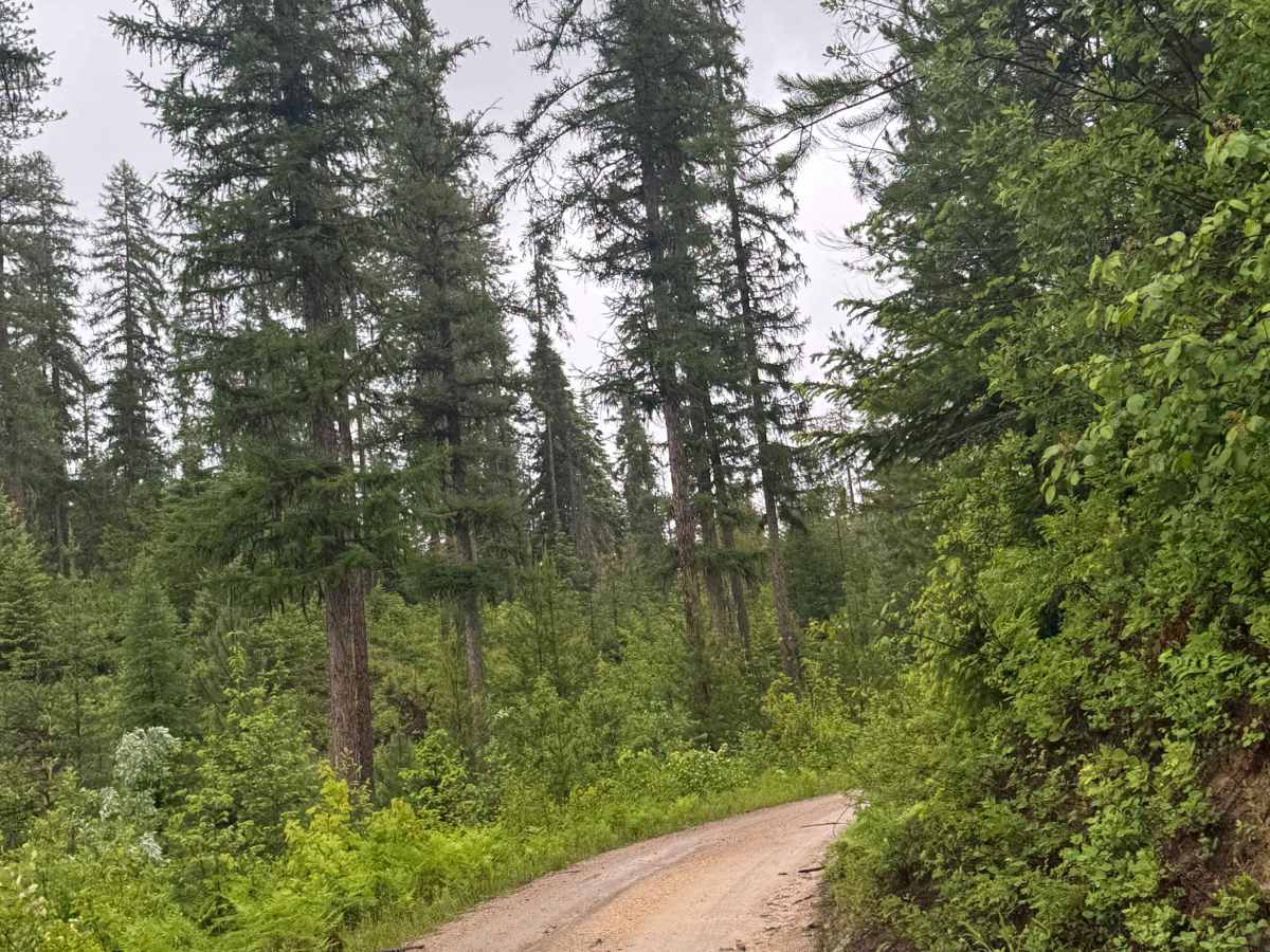
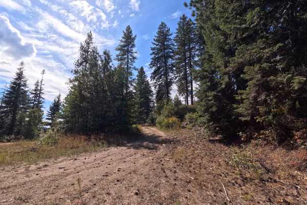
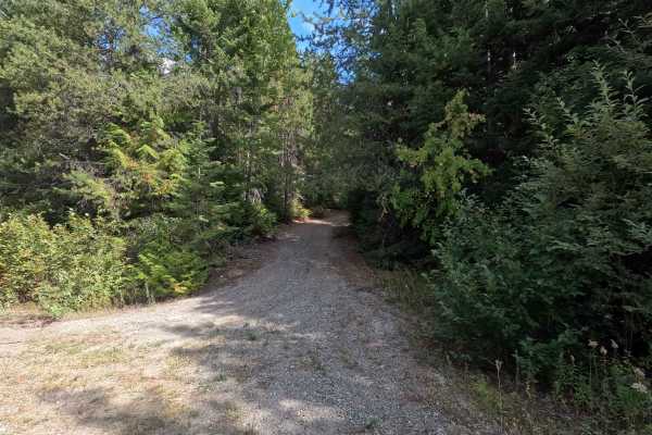
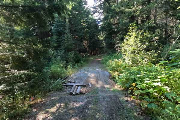
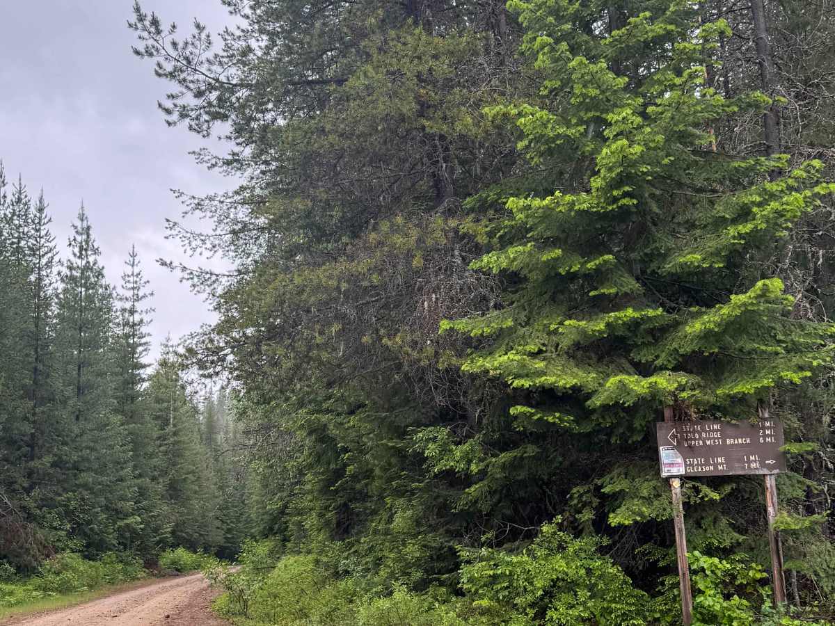
This is a dirt-based forest road in the National Forest. It connects trail systems and is approximately 5 miles long. Along this trail, you will have good views of the mountains and ridges around you, and camping is allowed along the entire trail with multiple pre-existing dispersed campsites. There are switchbacks and ledges, and on the map, you drive past some old mines, but the shafts were not visible from the trail. The trail is narrow with minor ruts and wash, but it is suitable for any vehicle type. Cell phone service was weak, and there are no amenities, so you will need to travel prepared, as you are over 30 minutes' drive from the nearest services and supplies.

Photos of Lamb Creek Connector - FS 219

Difficulty

Dirt-based, narrow forest road with minor ruts and wash. There are switchbacks and ledges, but this trail is suitable for all vehicle types.

Technical Rating

2

Lamb Creek Connector - FS 219 Trail can be accessed by the following ride types:

  • Single Track
  • 50 Inch
  • 60 Inch
  • High Clearance
  • Full Width

Lamb Creek Connector - FS 219 Map

The onX Offroad Difference

onX Offroad combines trail photos, descriptions, difficulty ratings, width restrictions, seasonality, and more in a user-friendly interface. Available on all devices, with offline access and full compatibility with CarPlay and Android Auto. Discover what you're missing today!

Open Trail Map