Trail Overview
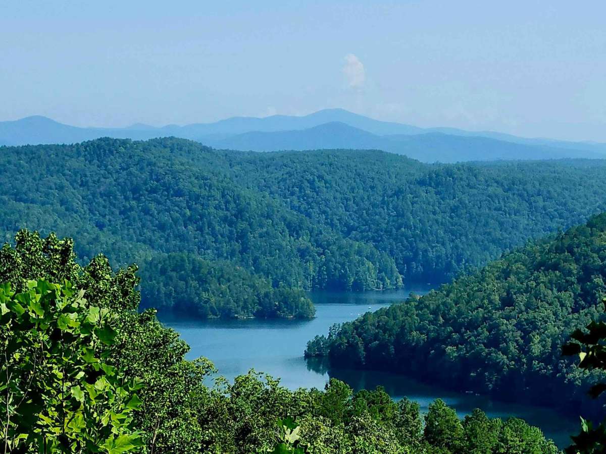
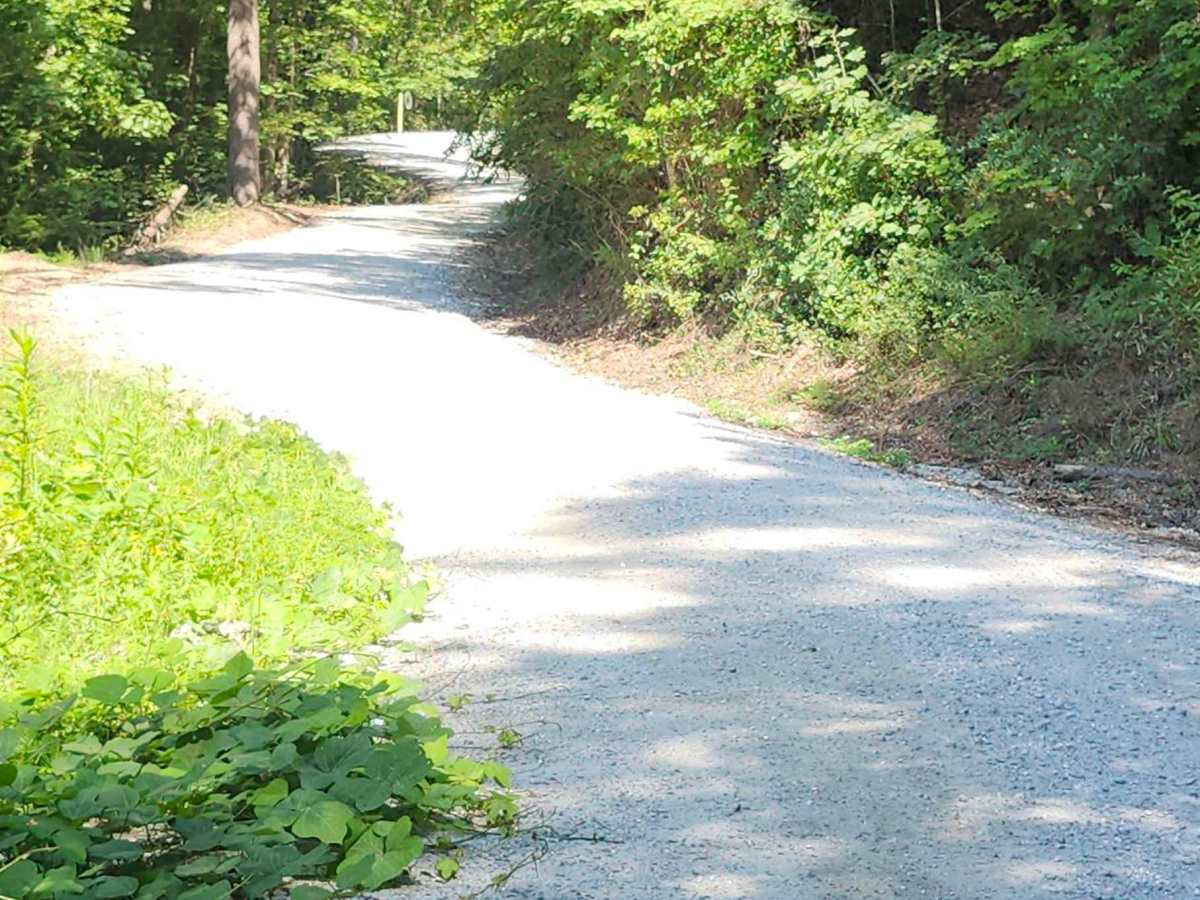
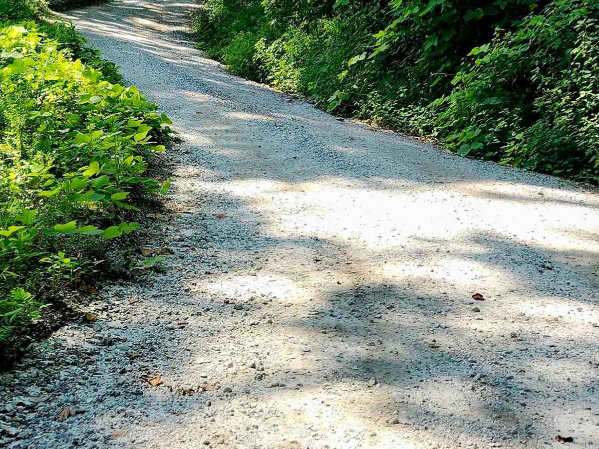
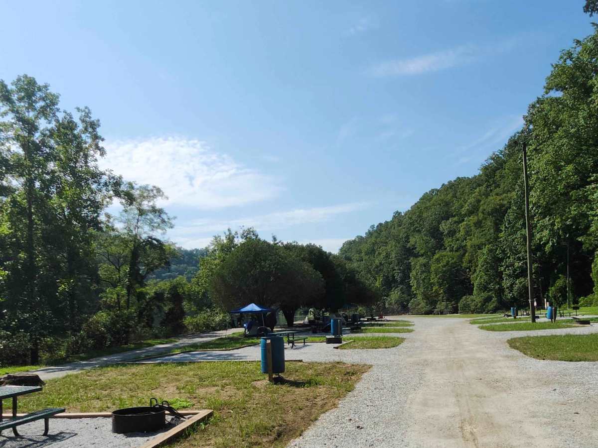
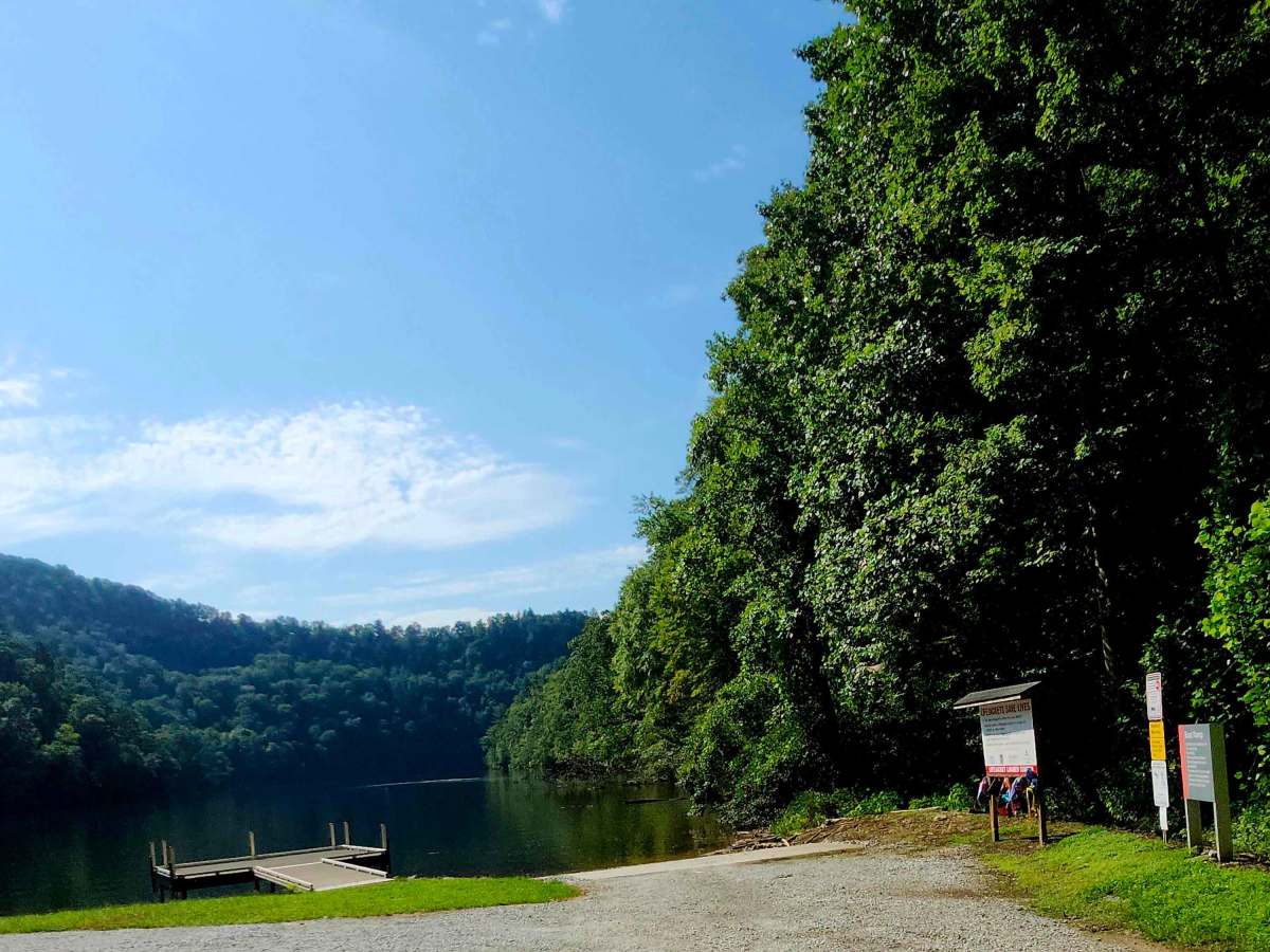
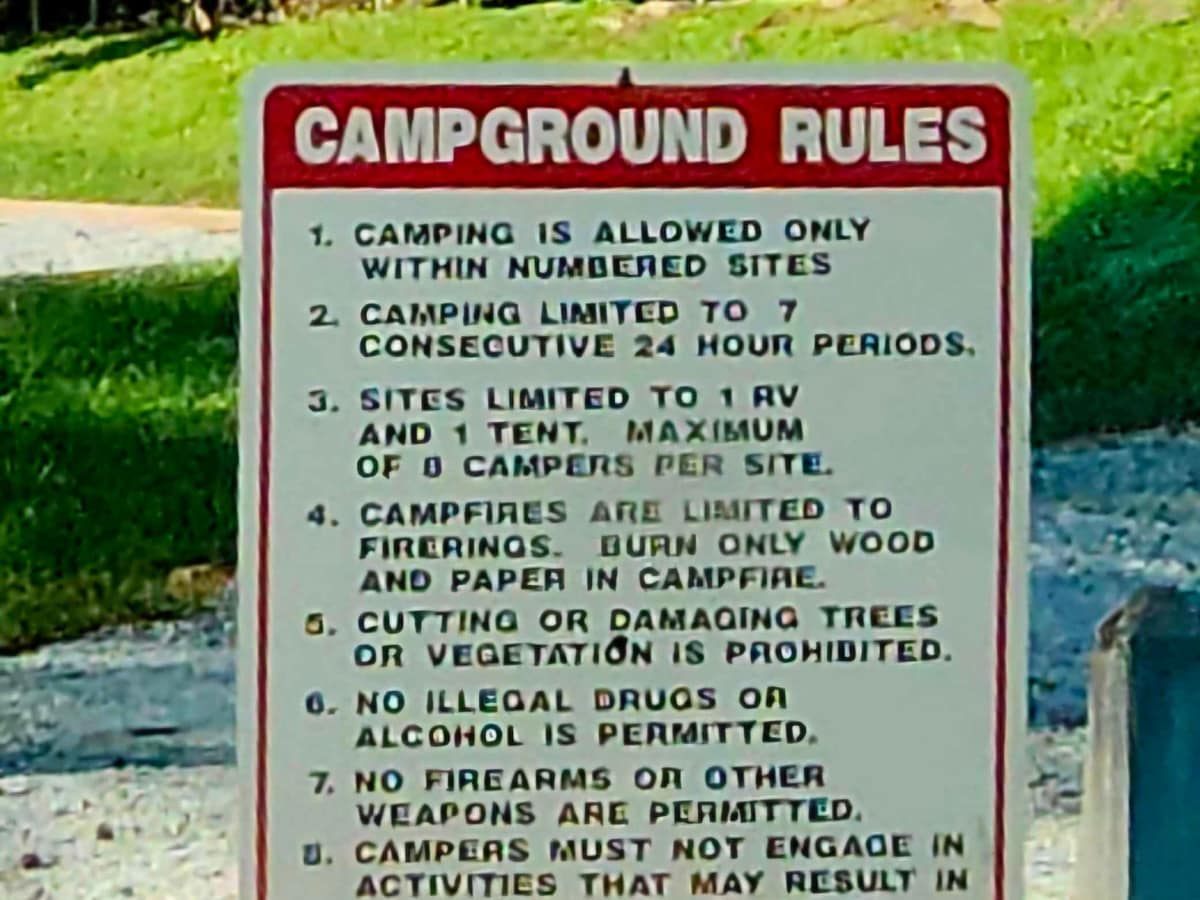
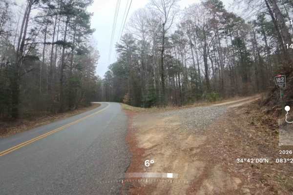
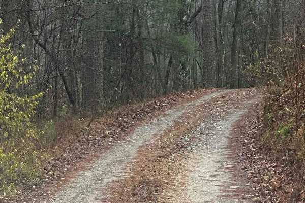
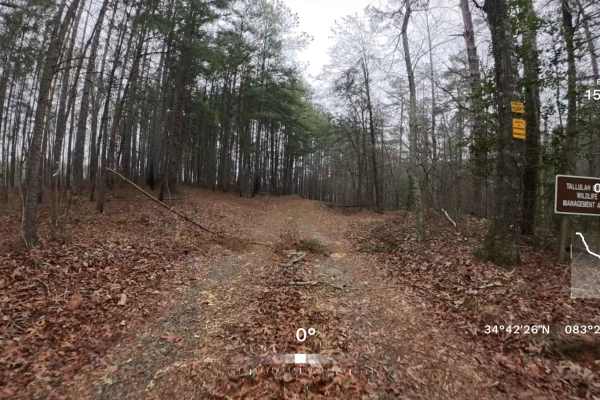
A very scenic 1.8-mile winding descent of gravel with a sand base that leads to historic Tugalo Dam and Yonah Campground on Tugalo Lake. Minor washouts occur within switchbacks, with viewing mirrors provided for safe travel for oncoming traffic. The campground offers a boat ramp, tent campsites with picnic tables, a restroom, fishing dock, and beautiful mountain vistas. Though well-maintained and no clearance needed for a 2WD vehicle, AWD or 4WD is recommended for the steep slope in both directions, using caution after rain as terrain can change with weather conditions.
Difficulty
Use caution due to steep slope, winding switchbacks, single track, and minor washouts in switchbacks
History
According to the US Dam Safety and Infrastructure Directory: "Tugalo Dam is a gravity dam located in Madison Sc, Habersham County, Georgia, on the Tallulah River within Georgia's 9th Congressional District. Owned by Georgia Power Company, a public utility, the dam is federally regulated by the Federal Energy Regulatory Commission and not state regulated. Completed in 1923, Tugalo Dam stands 155 feet high and extends 830 feet in length, founded on rock, and classified as having a high hazard potential. Its primary purpose is hydroelectric power generation, with additional uses for fish and wildlife pond management and recreation."