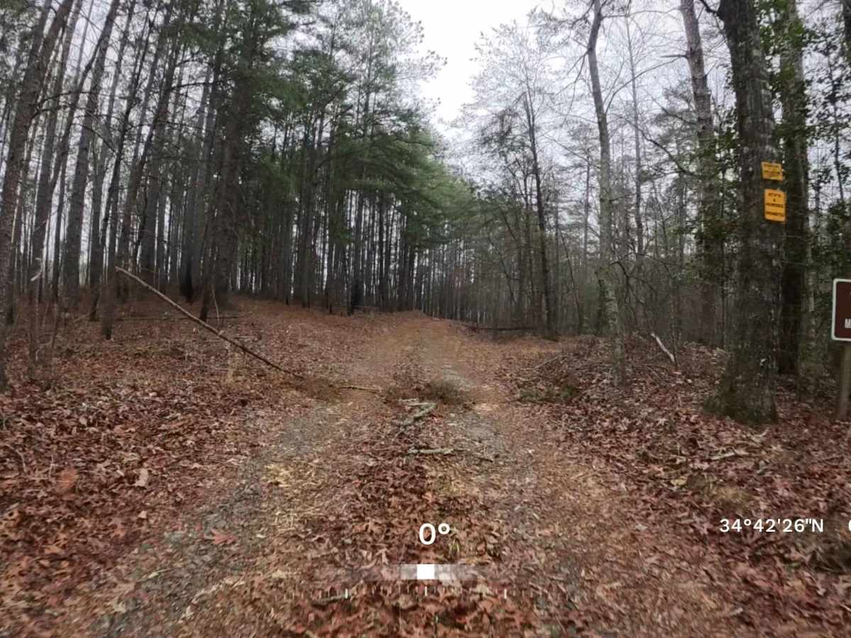
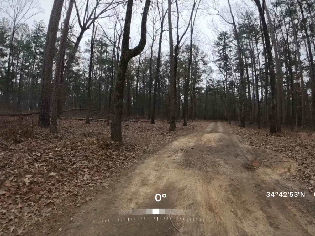
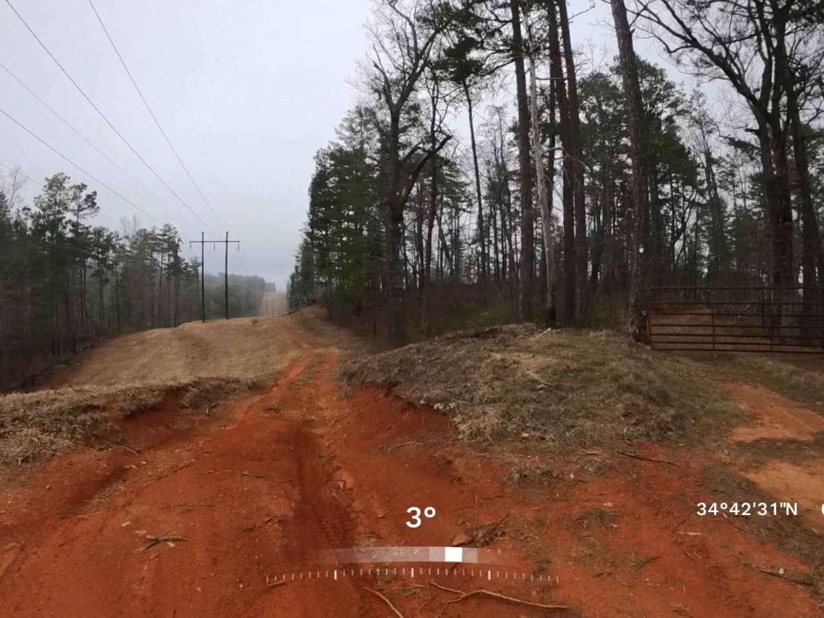
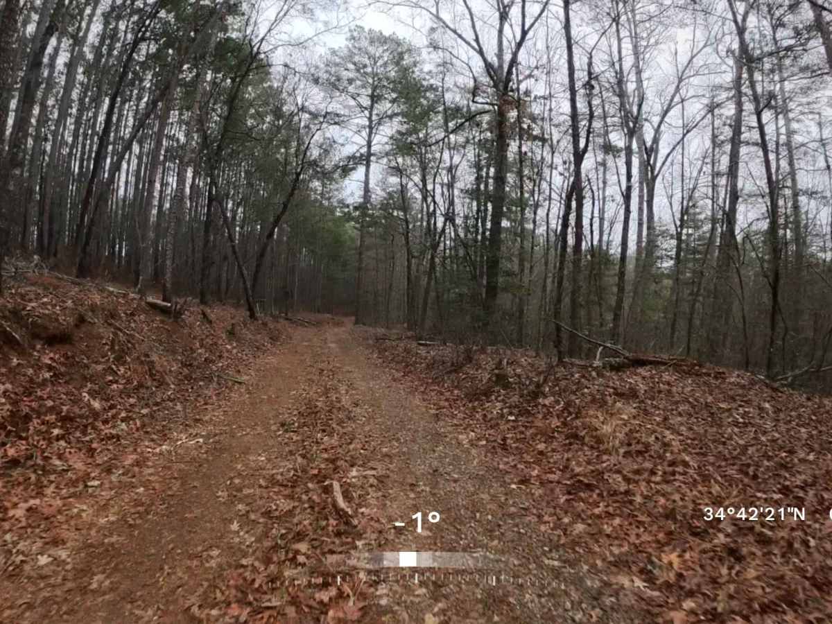
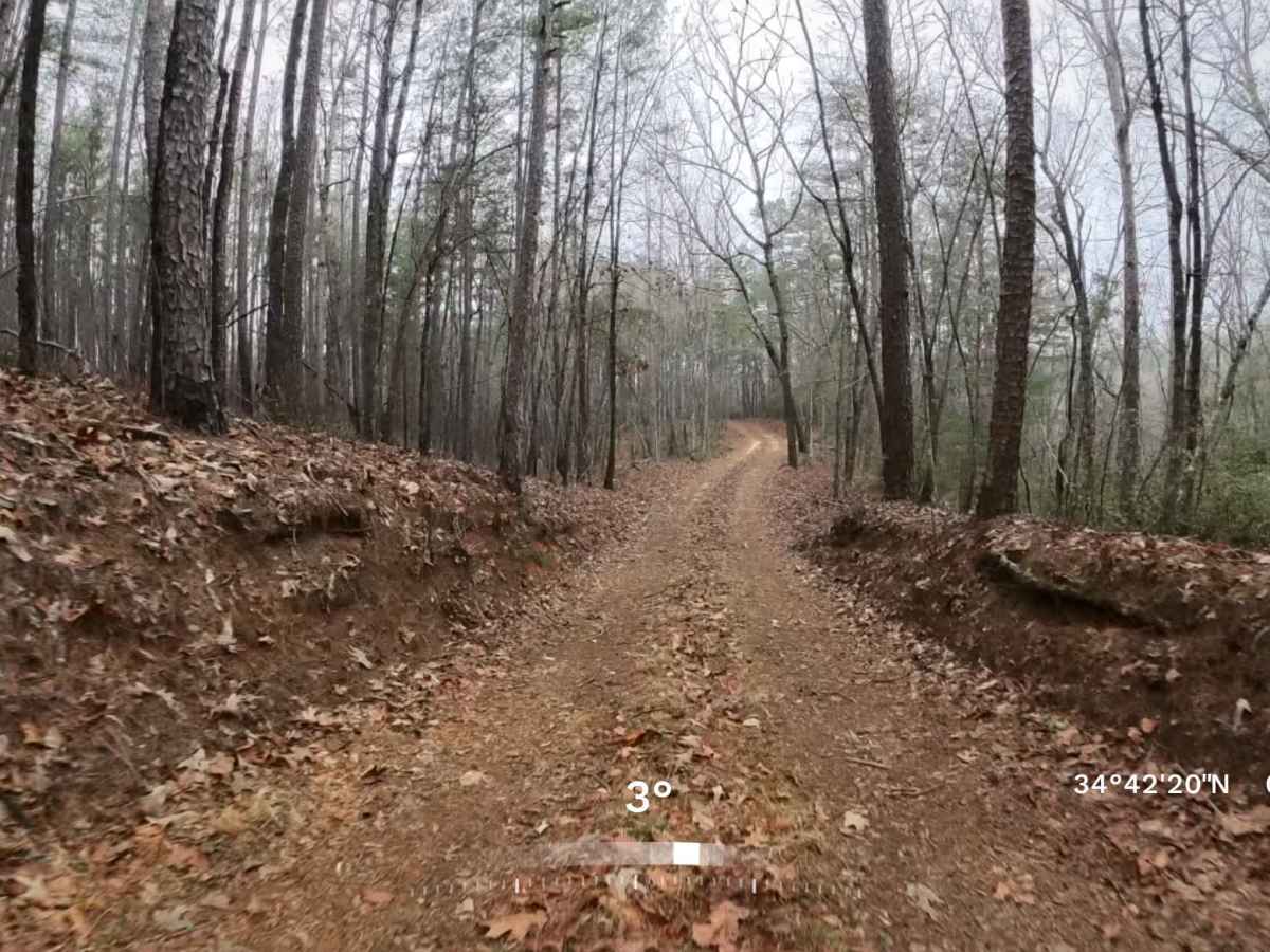
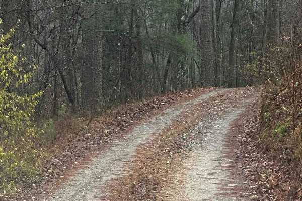
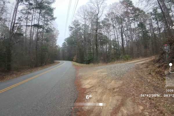
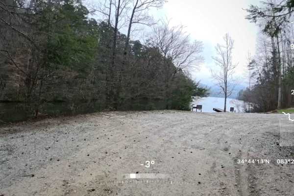
Trail Overview
This is an out-and-back trail that follows an easy, mostly single-lane gravel and dirt road. The route is generally well-maintained and passes through scenic sections of the Chattahoochee National Forest before continuing toward the area near Tallulah Gorge State Park. Because this road is part of a Georgia Wildlife Management Area, a valid permit or sporting license may be required. Along the way, you may encounter a few minor washouts and small water puddles typical of Forest Service roads, but there are no significant obstacles until near the end of the trail by the power line, where there is a small washout. Most high-clearance vehicles should be able to travel the road without difficulty. The trail does pass through areas of private property, so it is important to remain on the main road and avoid traveling down any side trails. Cell phone service in the area can be sporadic or unavailable, so it is recommended to plan ahead and bring any necessary supplies in case of an emergency.
Difficulty
This trail features several small washouts and occasional mud puddles along the route. It is primarily a single-lane trail, though there are a few designated areas where vehicles can safely pull over to allow others to pass. There are no significant obstacles until near the end of the trail by the power line, where there is a small washout.