Beasley Knob

Total Miles1.2
Technical Rating
6Moderate
Best TimeSpring, Summer
Trail TypeFull-Width Road
Accessible By
Open Trail Map

Trail Overview

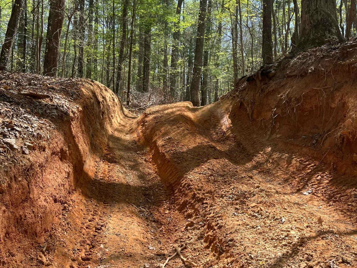
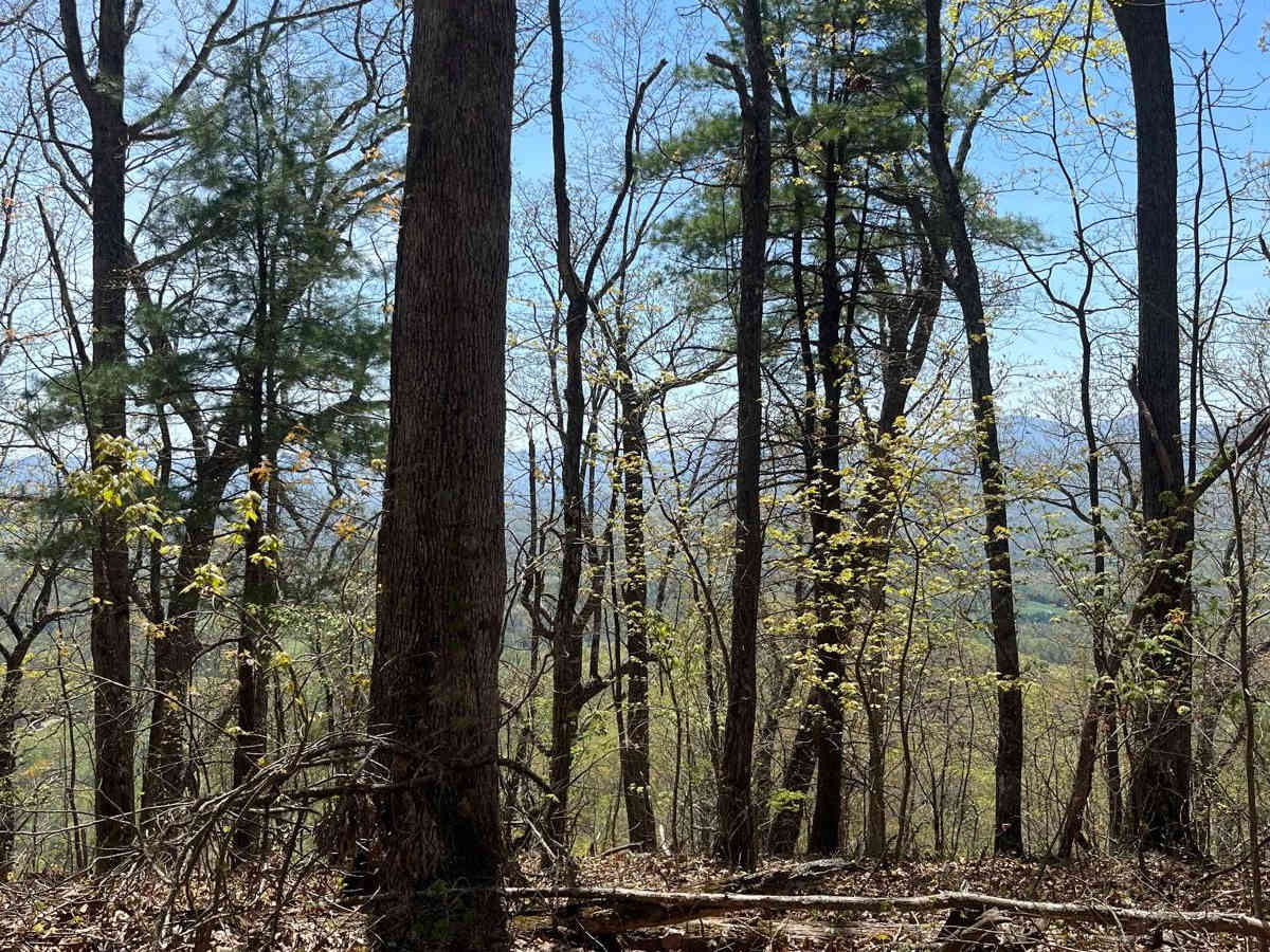
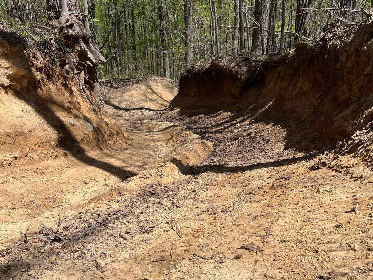
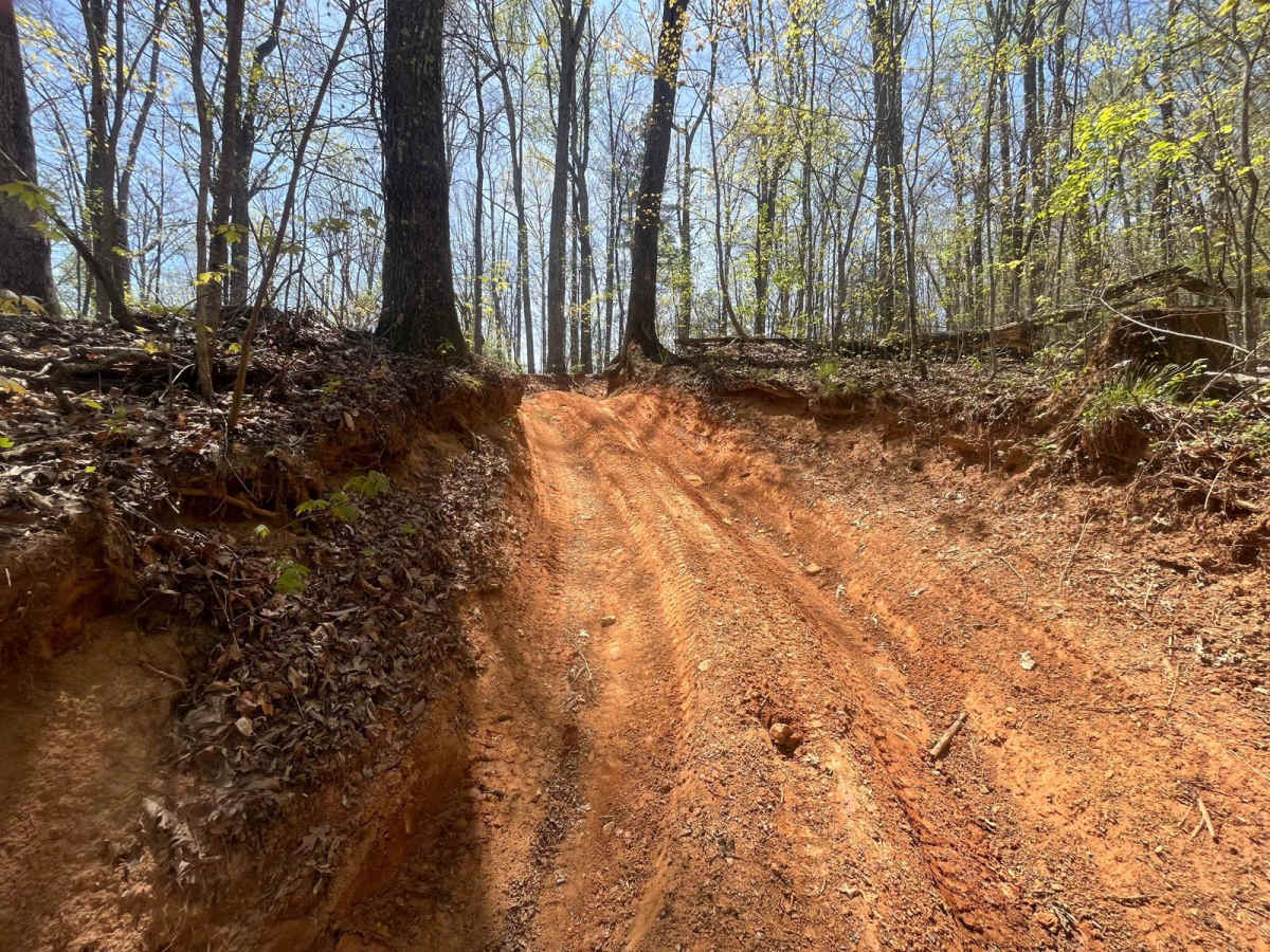
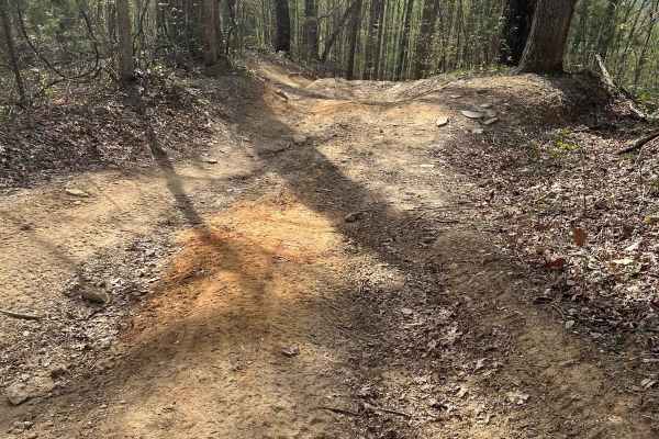
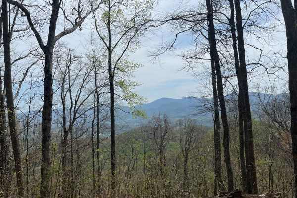
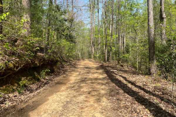
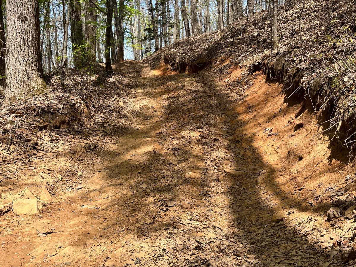
Beasley Knob Trail is a steep and challenging trail in the Beasley Knob OHV area. The dirt-clay mix as well as off-camber sections and ruts keep the trail interesting as you climb Beasley Knob Mountain, the overlook at the top halfway through the trail provides a great view of Brasstown Bald, the tallest mountain in the state of Georgia. All of the trails inside Beasley Knob OHV are closed seasonally from December 31st to late March or early April weather permitting, and are closed during periods of heavy rain. Call the Blue Ridge Ranger District at 706-745-6928 to check the status of the trail. A $5 day use fee is required to ride at Beasley Knob OHV and can be purchased online via QR code at the parking areas.

Photos of Beasley Knob

Difficulty

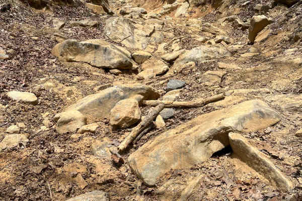
The trail is very steep with multiple off-camber spots and ledges.

Technical Rating

6

Status Reports

Add Status Report
Howard Connell
Jul 22, 2026
Temporarily Closed
Posted SignWeather Event
Closed. Due to Recent rain I assume.
Kevin Ferguson
Jun 28, 2026
2024 Jeep Rubicon
Open
Muddy/WetRough/Deteriorated
The access road from the Satterfield trailhead was rutted but doable down to 93g. Random puddles and wet rock and clay throughout. However, a 20 minute rain turned things south quickly. We could get up 93D and had to turn back. We tried returning the same route we came in on and the first hard switchback resulted in the same, no traction even with traction control off, 4 low, and front and rear diffs locked. We tried 93G and found a large blow over, partially removed, but with only enough clearance for an ATV or dirt bike. Those were the only three options out from our position on the back side of the mountain. We ran over to FS 117 only to find the gate locked. As we arrived at the gate, four other vehicles also came over with the same predicament of not be able to get out. Minimal cell service but one gent was able to reach the ranger station, and ask for them to come out and let us out. 2+ hours later, he finally arrived. I did clear to blow over on 93G just in case but we only ran the back (green section)
Jay M
Apr 04, 2026
1997 Toyota Land Cruiser
Open
Muddy/Wet
6/10 at least, especially while wet this morning. We were traversing it back to the entrance, so it was mostly "down" and likely easier. When we reached the top of Beasley Kn0b itself we heard a jeep in front of us calling out, so we stopped (there is plenty of "parking" there at the top) and walked over to see what was going on. There was someone coming "up" the trail and had broken a tie rod, it is at least a 6/10 after all, and they were blocking the trail. They had gotten a replacement from an in-town auto parts store and it took about 45-minutes after we arrived for them to get it replaced. They turned around and they and four other vehicles proceeded down the rest. It is a challenging trail. Be prepared.
Jenna Lipham
Nov 22, 2025
Open
Muddy/WetRough/Deteriorated
Deep ruts in some spots. Not an easy trail. Only had to use winch once
Jeff Tryzbiak
Nov 02, 2025
Temporarily Closed
Jared wall
Oct 09, 2025
Open
Muddy/Wet
Recommended higher clearance
Seth Dingle
Oct 05, 2025
1995 Toyota Land Cruiser
Temporarily Closed
Posted Sign
Gate was closed with a note saying closed temporarily due to recent rain.
Eric Poole
Jun 01, 2025
Open
Muddy/WetRough/Deteriorated
wouldn't recommend if you don't have some experience. hasn't rained in awhile but still muddy and slippery in areas. depending which trails you take, could be to steep and slippery. narrow areas. except a couple of spots, not really any turn arounds if you can't make it through. some bigger rocks on a couple of trails. use high clearance

Beasley Knob Trail can be accessed by the following ride types:

  • Single Track
  • 50 Inch
  • 60 Inch
  • High Clearance
  • Full Width

Beasley Knob Map

The onX Offroad Difference

onX Offroad combines trail photos, descriptions, difficulty ratings, width restrictions, seasonality, and more in a user-friendly interface. Available on all devices, with offline access and full compatibility with CarPlay and Android Auto. Discover what you're missing today!

Open Trail Map