Trail Overview
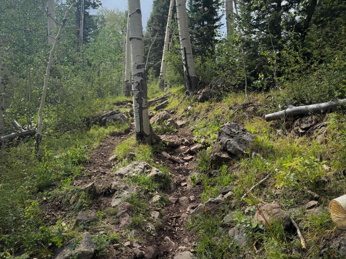
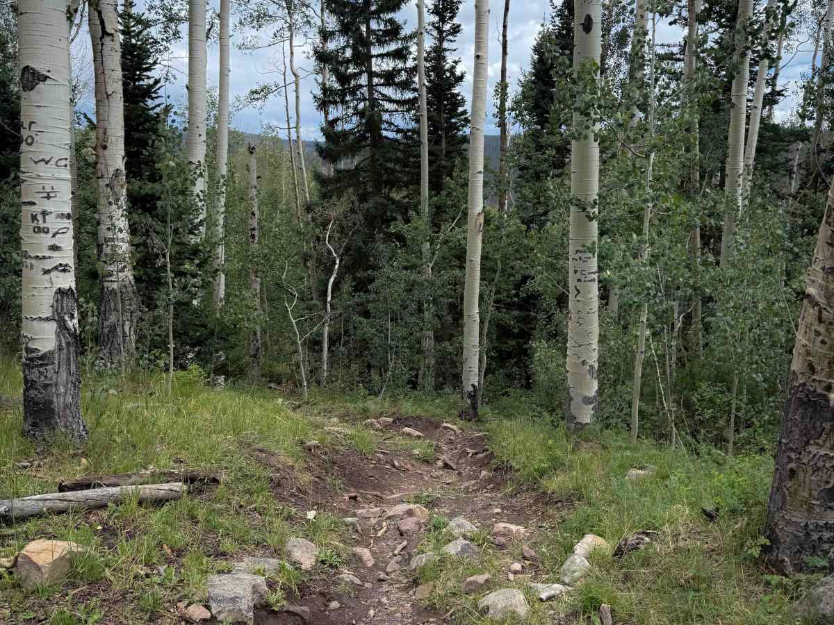
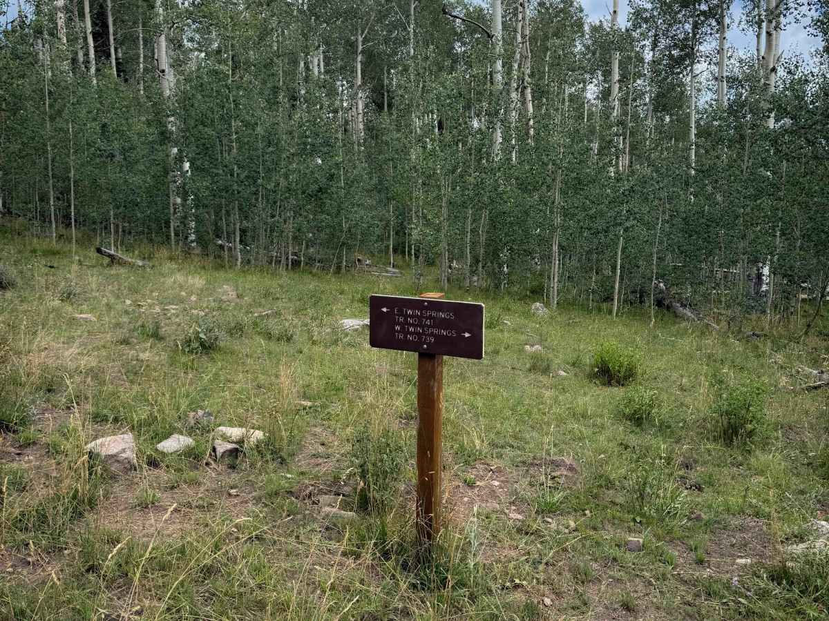
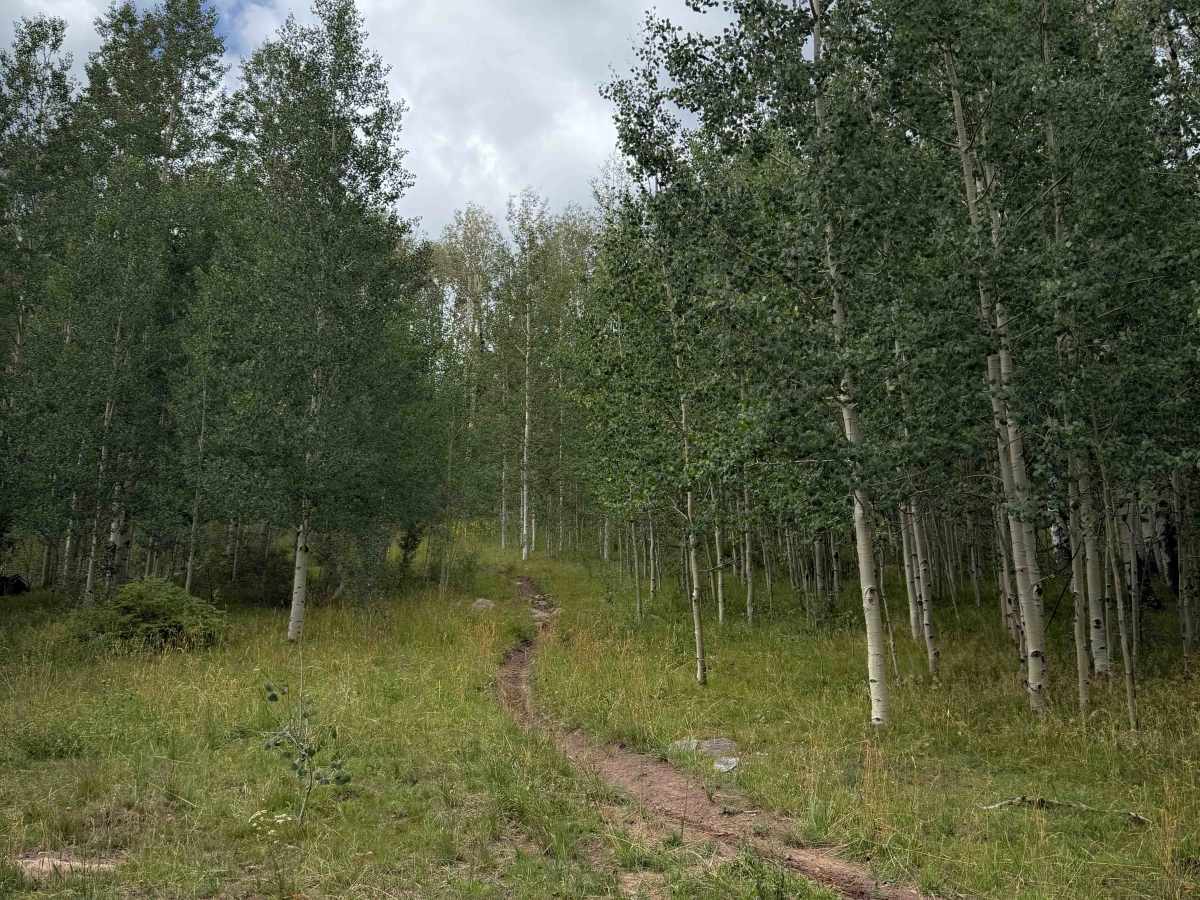
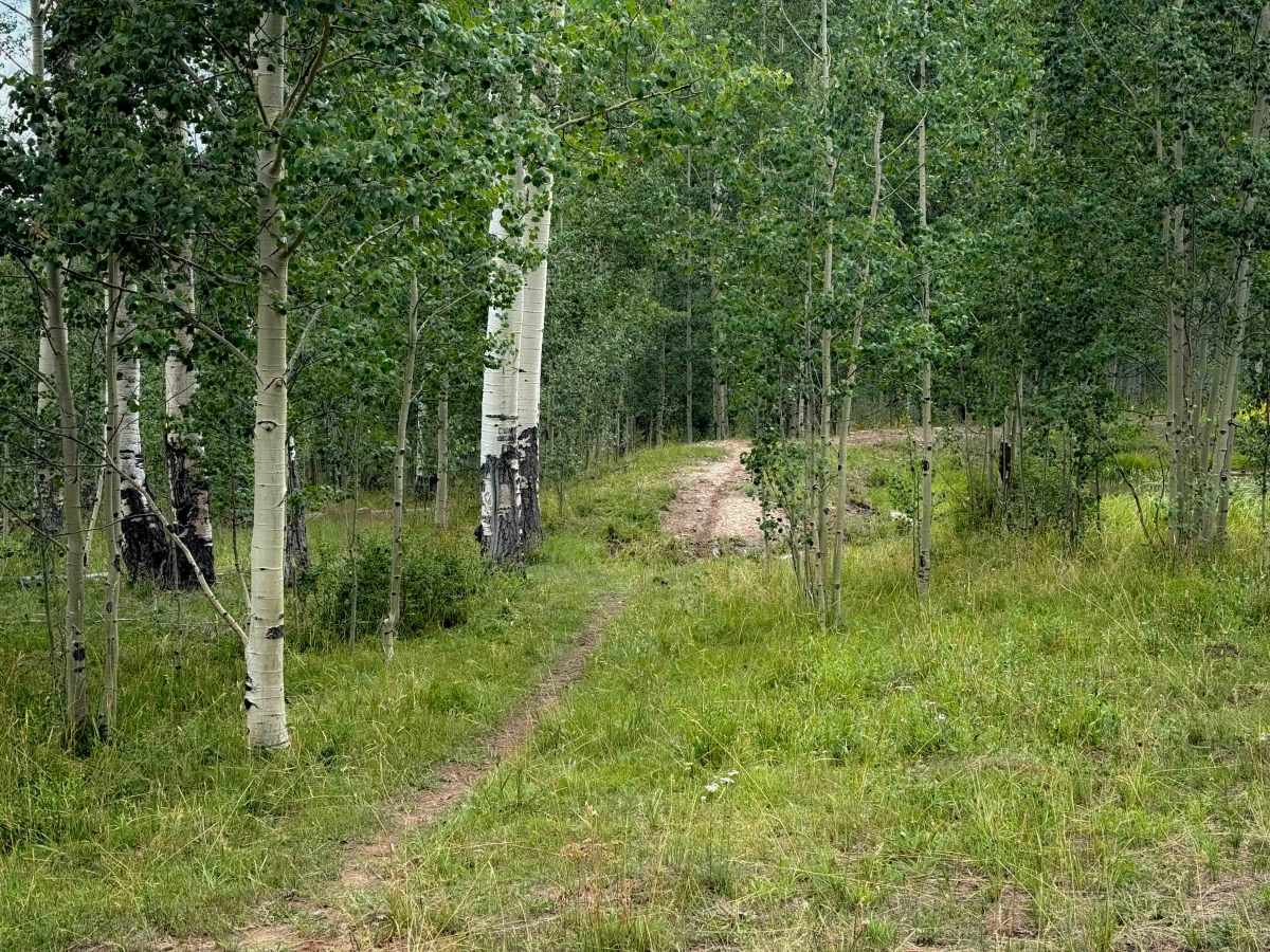
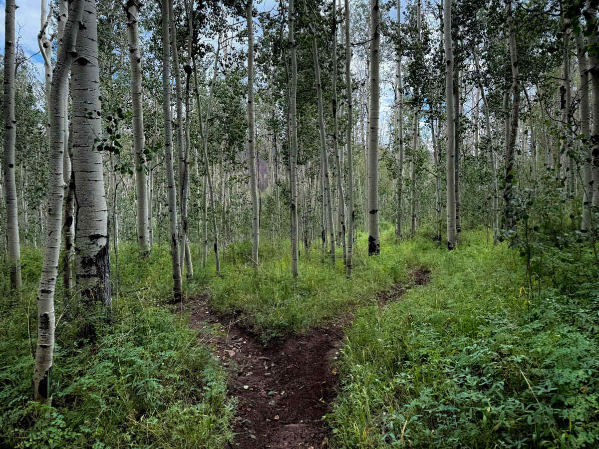
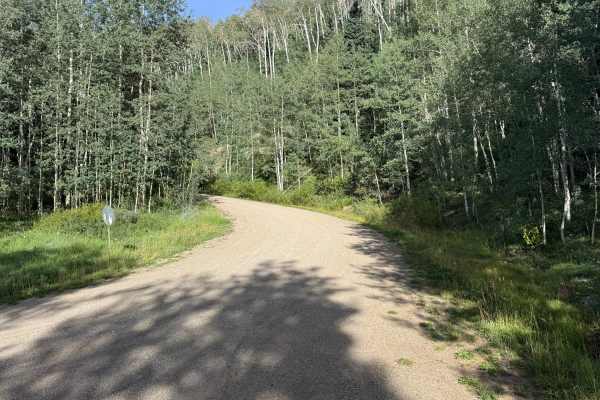
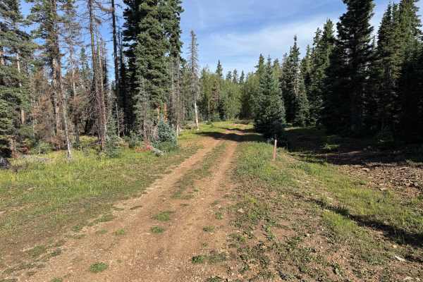
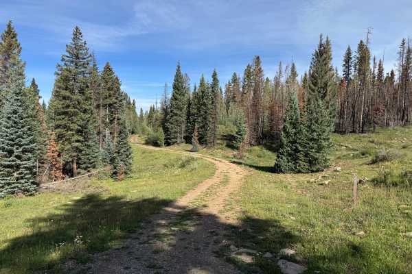
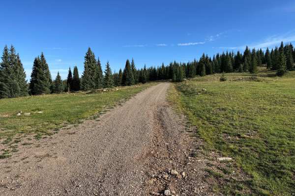
West Twin Springs Trail is a 1-mile-long route through the San Juan National Forest that descends off of East Twin Springs Trail, dropping about 700 feet in elevation before it connects to the Stoner Creek Trail at an overlook of a marshy pond in the Stoner Creek drainage. This trail is less ridden than the popular Calico and Stoner Mesa trails, but is a fun spur trail to check out when riding in the Rico area, and it connects to Stoner Creek Trail, which you can turn into a loop back to Eagle Peak Trail. On the north end, there is a gate and sign at the entrance to the Twin Springs Trail off of Stoner Mesa Road, and then the trail splits into the east and west segments after a hundred yards. Much of the trail is flowy and easy, on loamy dirt, riding through a scenic forest of aspens, through tall grasses and bushes. It has some very narrow sections, frequently covered in small embedded rocks, making it a chunky and slower ride in spots. There aren’t any major rock ledges or obstacles, and it mostly rides across rolling hillsides that do not have any side-hill exposure. The descent is a mix of steep and gradual, but is approachable for less experienced riders. The trail is open to motorized use from 6/1 to 10/31.
Difficulty
This is a moderately easy trail because there aren’t any major rock obstacles or ledges, nor is there much exposure risk. The trail has frequent small embedded rocks, narrow segments, and steep sections, but is overall ideal for average riders with a basic experience level. Although the trail was clear of any downfall, riders should expect log hazards, especially in early season.