Trail Overview
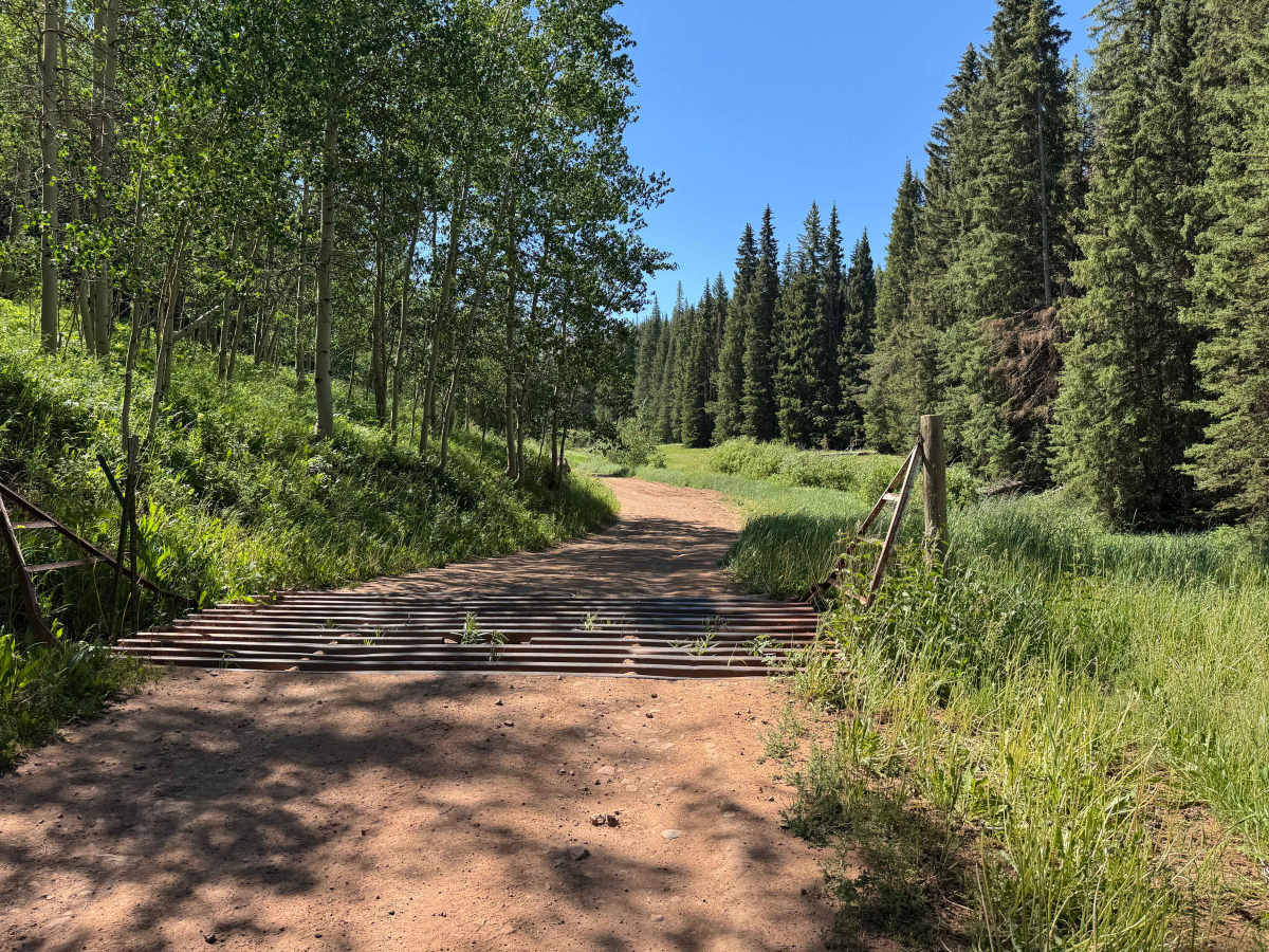
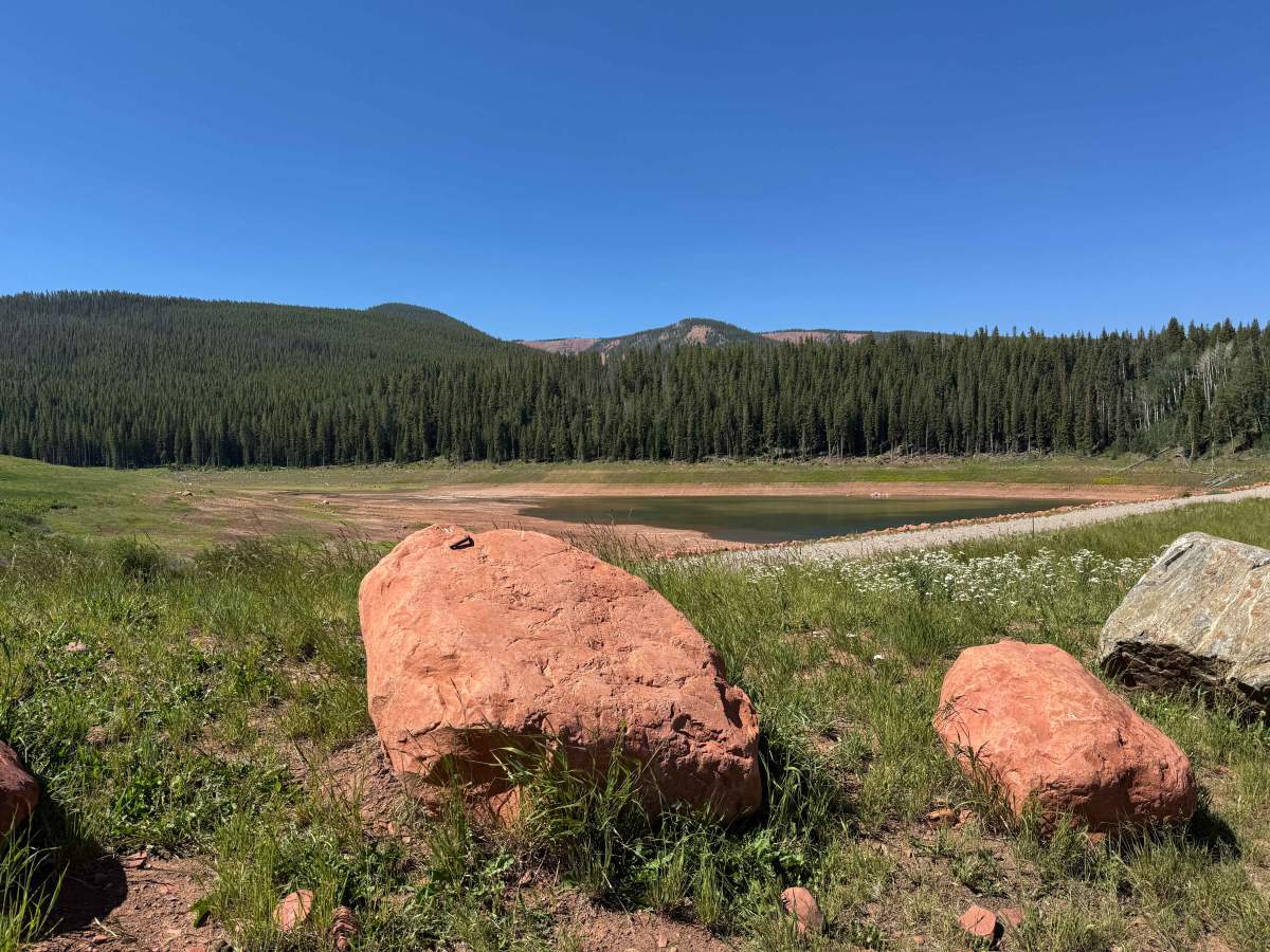
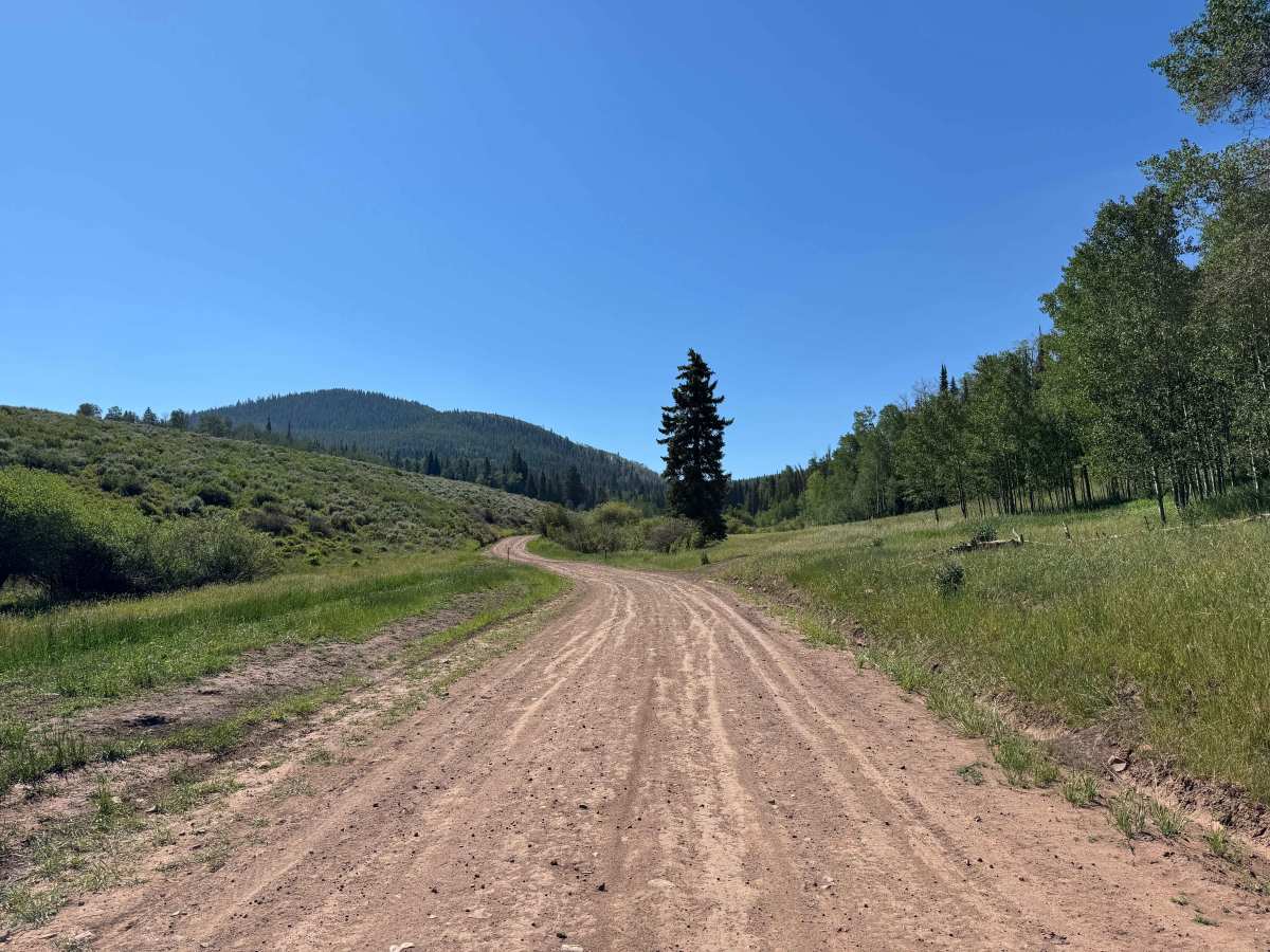
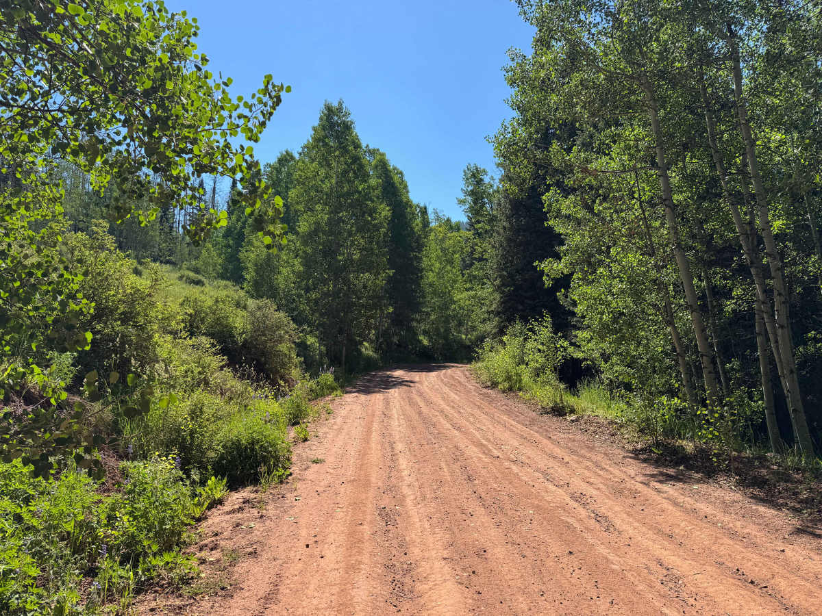
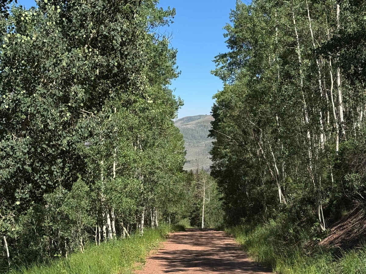
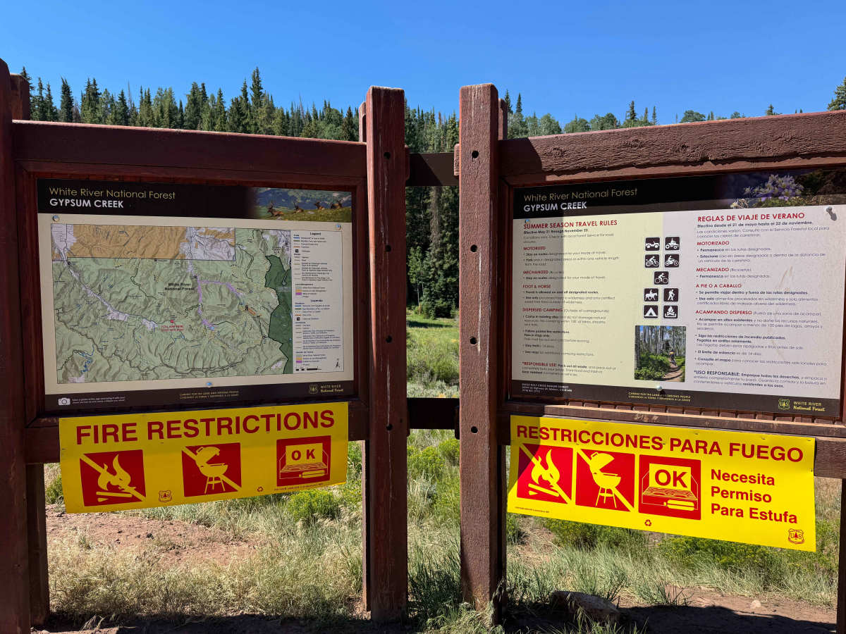
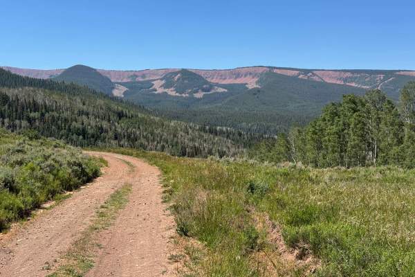
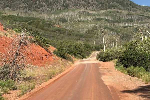
This short and easy route climbs from Lower Gypsum Creek Road to the scenic LEDE Reservoir. Under normal dry conditions, any vehicle with decent ground clearance should be able to reach the reservoir without difficulty. The drive is particularly enjoyable, winding through beautiful mountain scenery with a few sections of shelf road that, despite their exposure, are wide enough and lined with trees to feel comfortable for most drivers. The out-and-back route ends at the reservoir’s parking area, providing access to one of the area’s hidden gems. Along the way, several large and attractive dispersed campsites can be found. Although these campsites are not currently marked on the onX map, they are identified on the Forest Service signage near the entrance to Upper Gypsum Creek Road.
Difficulty
This section of road, when approached from the Gypsum side, is not particularly difficult. Vehicles with decent ground clearance should have no trouble navigating the route, and under normal dry conditions, engaging 4WD is generally unnecessary.
History
The history of the LEDE Reservoir is closely tied to the ranching and water-development history of the Gypsum Valley. The reservoir occupies what was once a prehistoric glacial lake high in the mountains above Gypsum. In the early 1930s, four local ranchers—Lundgren, Erickson, Doll, and Engstrom—recognized the natural basin’s potential for water storage and constructed an earthen dam to capture runoff for agricultural irrigation. The reservoir’s name, LEDE, is an acronym formed from the first letters of their surnames.

 Offroad