Trail Overview
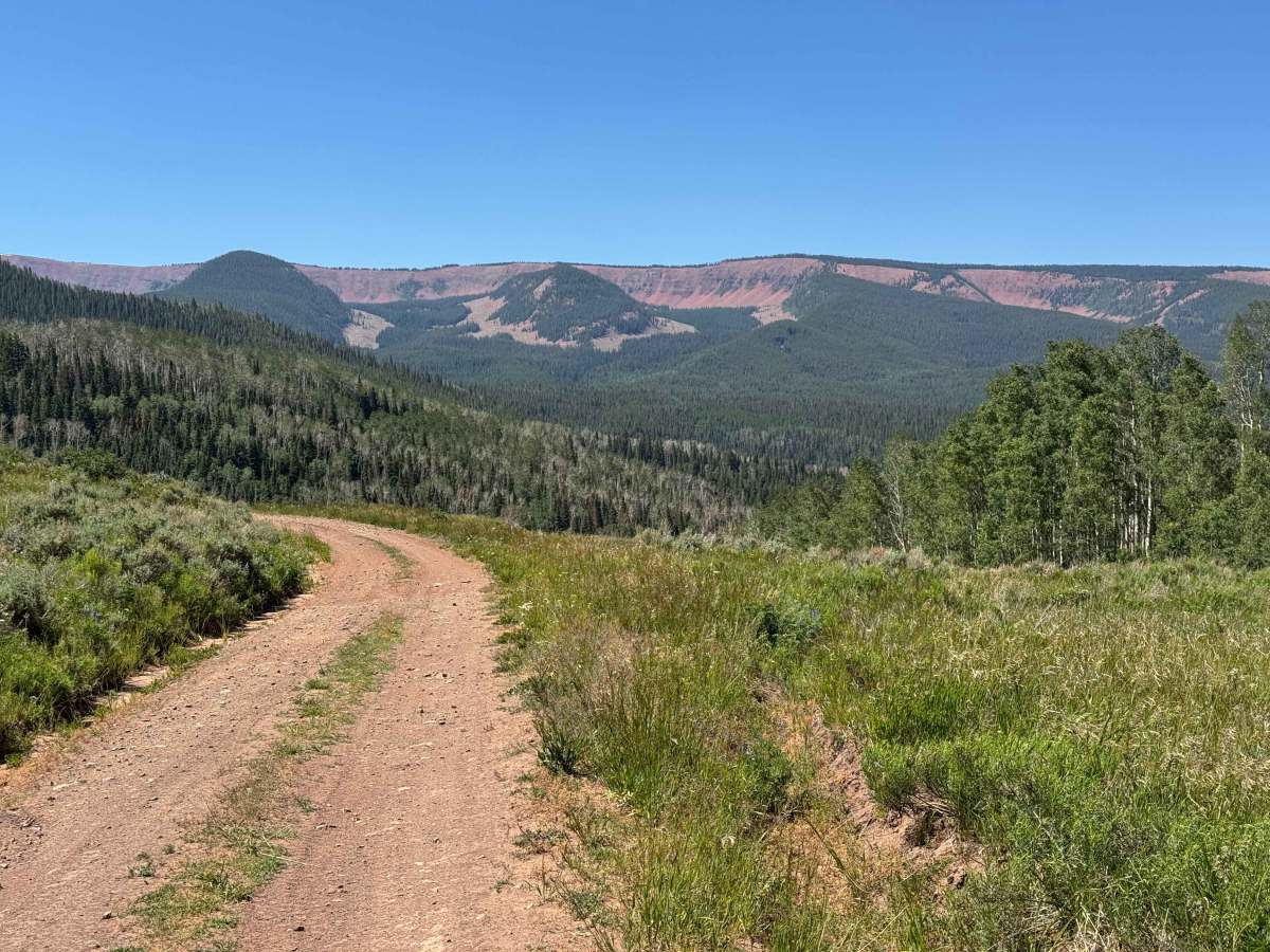
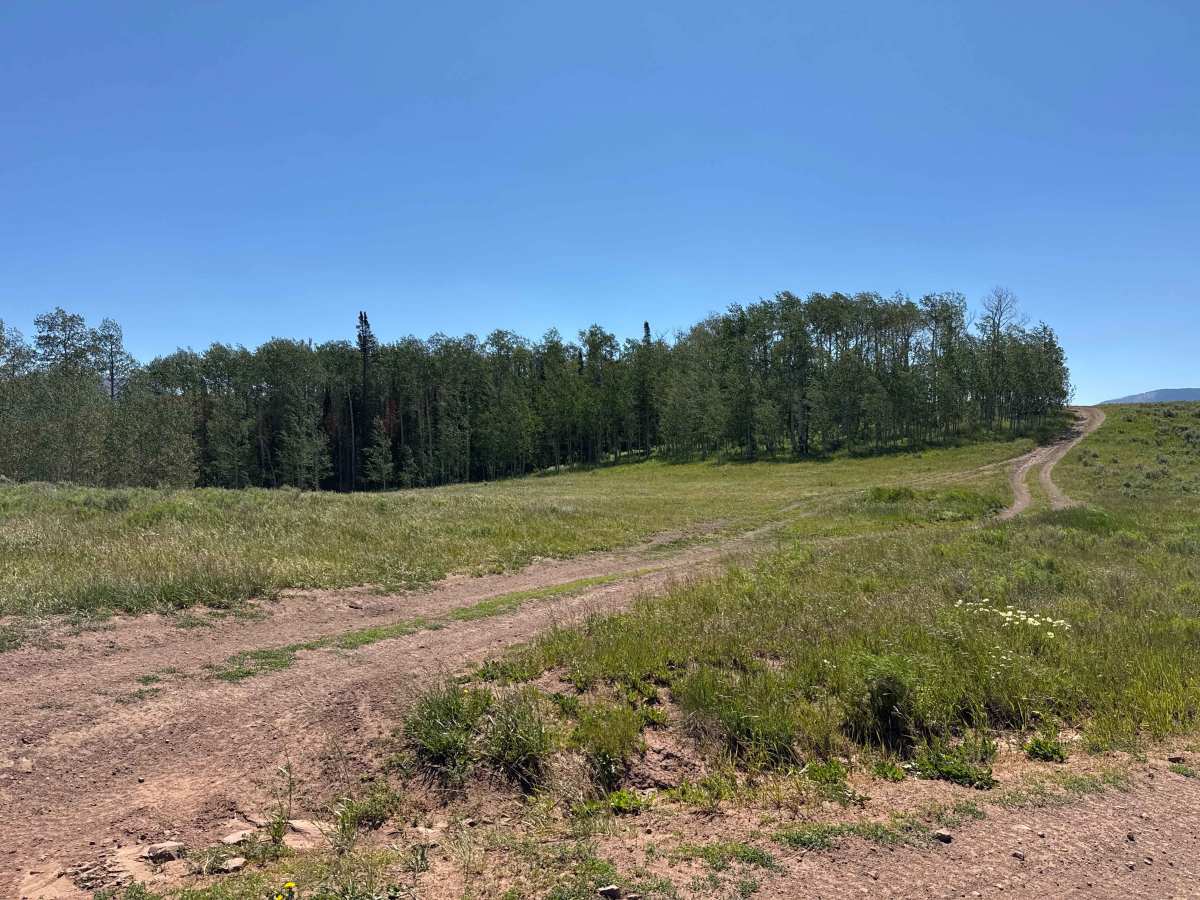
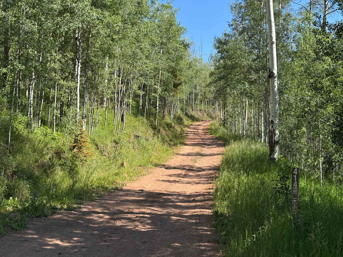
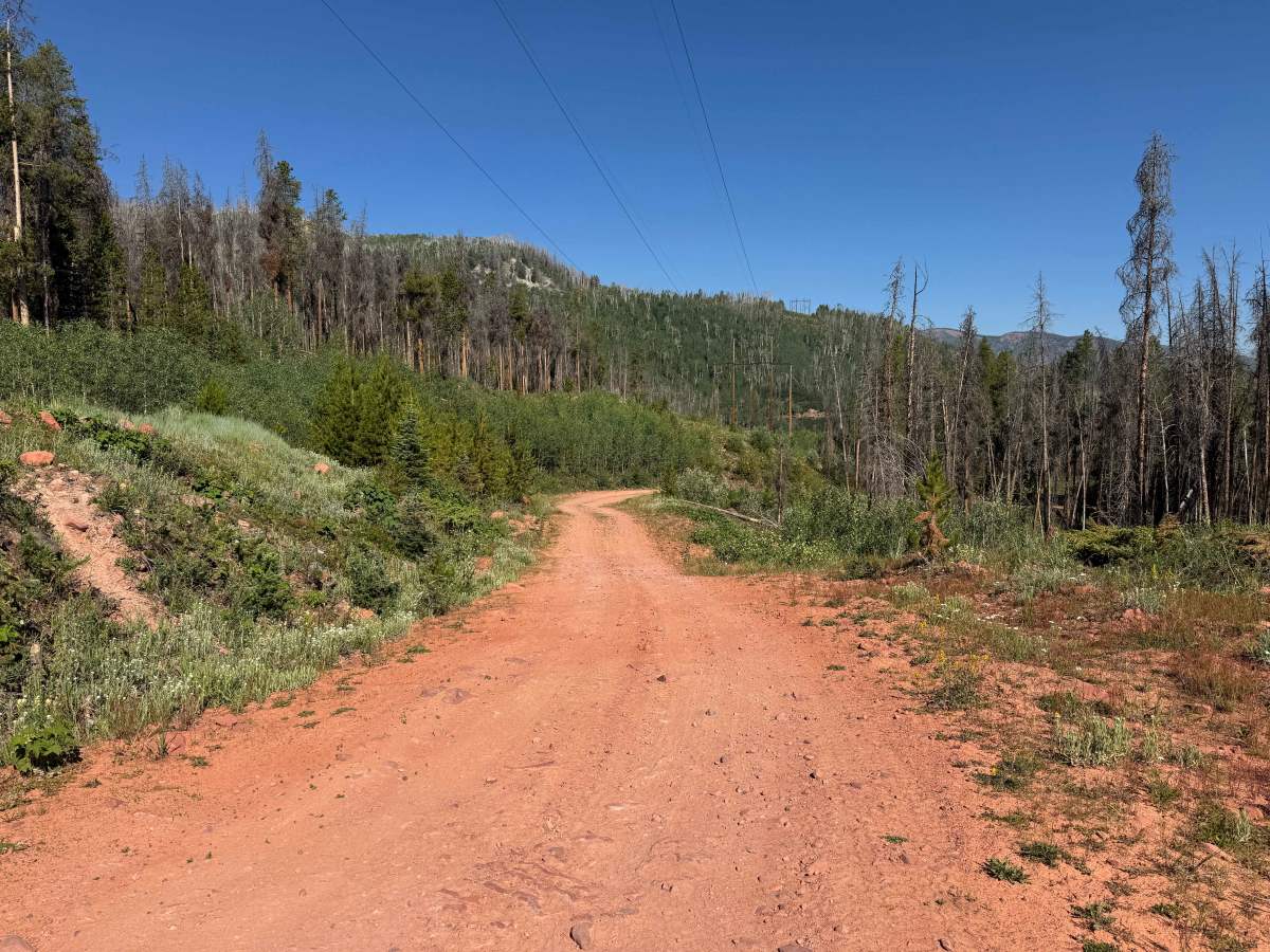
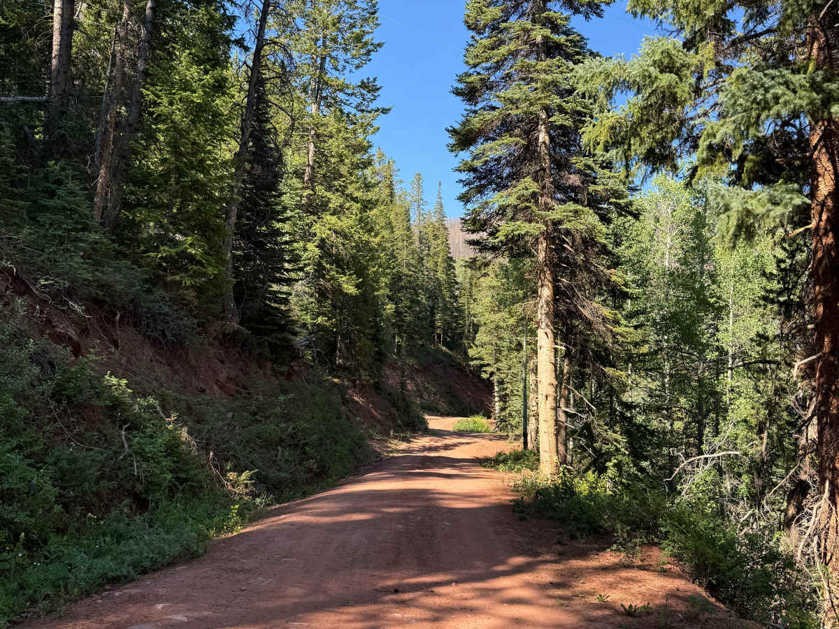
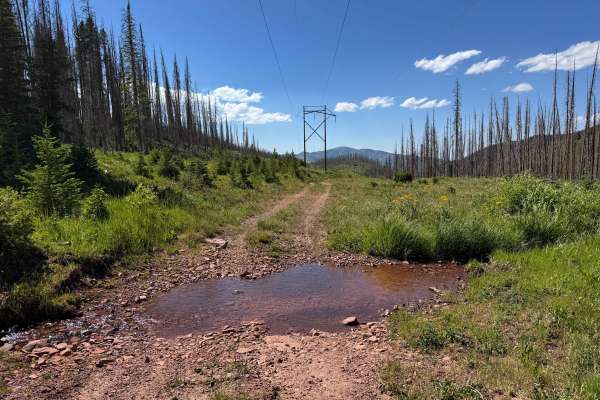
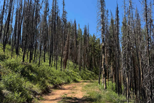
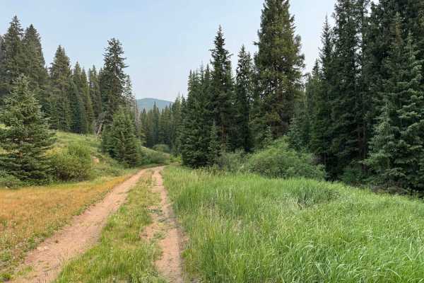
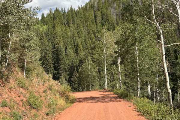
This Forest Service route begins near the Sylvan Lake recreation area and climbs high into the mountains toward Gypsum, traversing a diverse and scenic landscape along the way. The road ascends out of one canyon, descends into another, and then climbs once again to a beautiful high-elevation meadow with expansive views of the surrounding peaks. Aside from a few rocky sections scattered throughout the climbs, the route is generally smooth and enjoyable, making for a relaxing backcountry drive. Travelers should be aware that this area is prone to frequent deadfall, particularly after periods of high wind, so carrying a handsaw or chainsaw is recommended to avoid being stranded by a fallen tree. The route eventually emerges on the far side of the mountains, where drivers can choose to continue their journey by descending toward either Eagle or Gypsum.
Difficulty
This is a relatively easy trail that presents few technical challenges under normal dry conditions, and most drivers will likely never need to engage 4WD. The primary consideration on this route is the potential for deadfall, so carrying a handsaw or chainsaw is recommended, as fallen trees can occasionally block the road. Provided your vehicle has decent ground clearance, this trail should be an enjoyable and straightforward backcountry drive.