Trail Overview
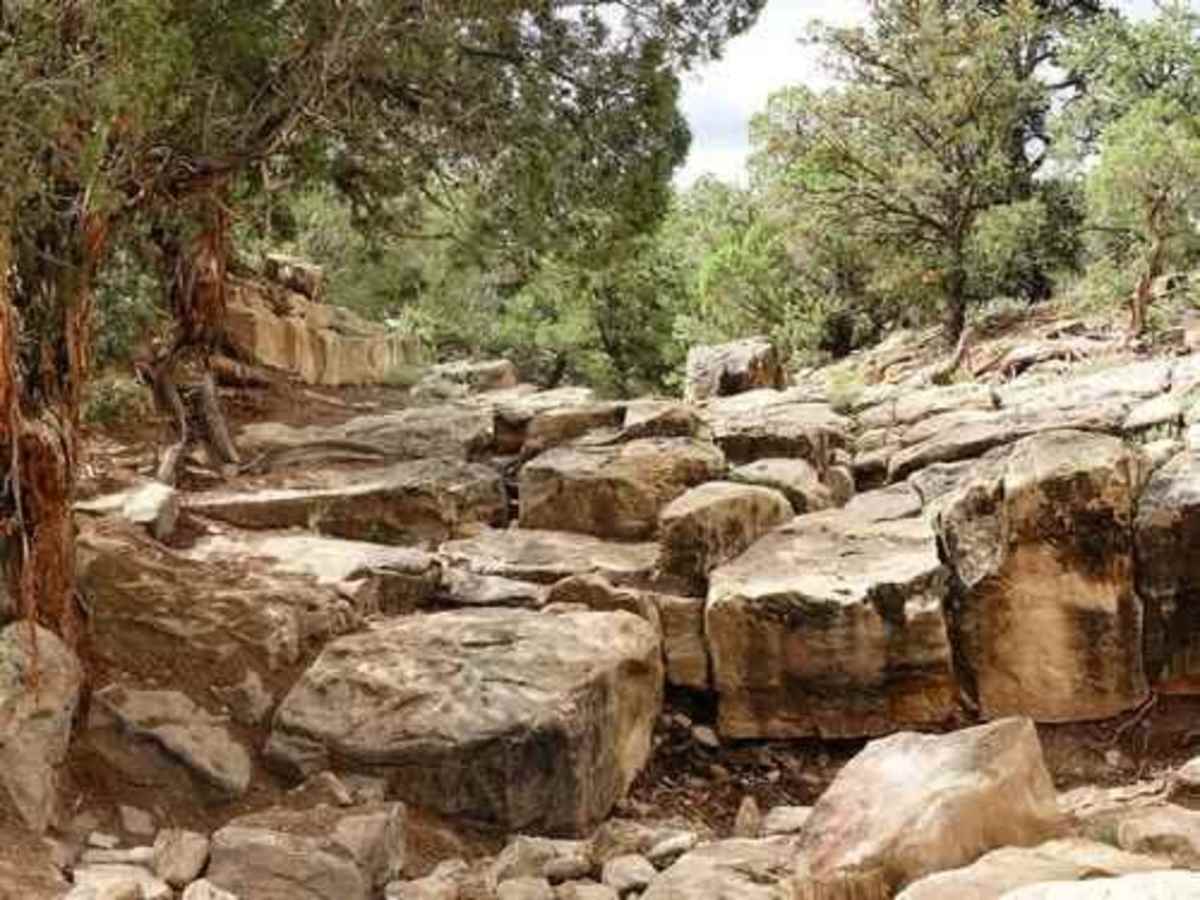
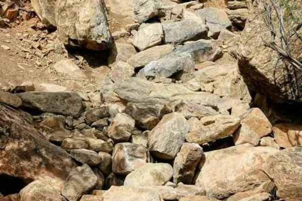
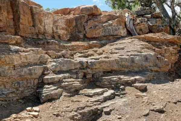
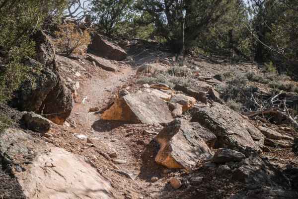
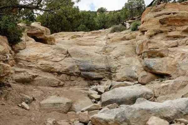
Topless Trail is an extreme, highly challenging rock crawling route located in the Dry Creek Rock Crawling (DCRC) area on the Uncompahgre Plateau, just a few miles west of Montrose, Colorado. Spanning approximately 1.5 miles, this short but intense trail is designed exclusively for elite off-roaders piloting highly modified rock buggies or purpose-built rigs capable of handling a technical rating of 9. The terrain demands maximum vehicle capability, offering a relentless mix of massive boulders, deep off-camber holes, and loose rock surfaces. Drivers can expect to navigate extreme obstacles including vertical ledges up to 8 feet high and near-vertical climbs of up to 18 feet that present a constant threat of vehicle damage or rollovers.
As the trail climbs from a starting elevation of 6,543 feet to a peak of 7,046 feet, it accumulates over 500 feet of elevation gain along its steep, rugged path. Success on this route requires advanced driving skills, excellent spotters, front and rear lockers, high-clearance armor, and winches. Nearby Rim Road provides access to and from the trail system, making it a premier destination for those looking to push their extreme rock-crawling setups to the absolute limit.
Difficulty
These roads and trails are for the most advanced off-roaders only. Off-camber trail with deep holes and large rocks that may exceed axle height. Expect erosion, loose rocks, sand, washes, shelves, and deep mud holes. Obstacles and ledges up to 8 feet and near-vertical grades 15-18 feet tall. Potential for deep water crossings with strong currents. Caution: Vehicle damage and roll-overs are likely.
Access Description
The trail is situated on public lands managed by the Bureau of Land Management (BLM) Uncompahgre Field Office. No permits or fees are required to access the area. Off-road vehicles must comply with Colorado OHV registration requirements, and extreme caution should be exercised during wet weather when wet clay and mud make the terrain impassable.