Trail Overview
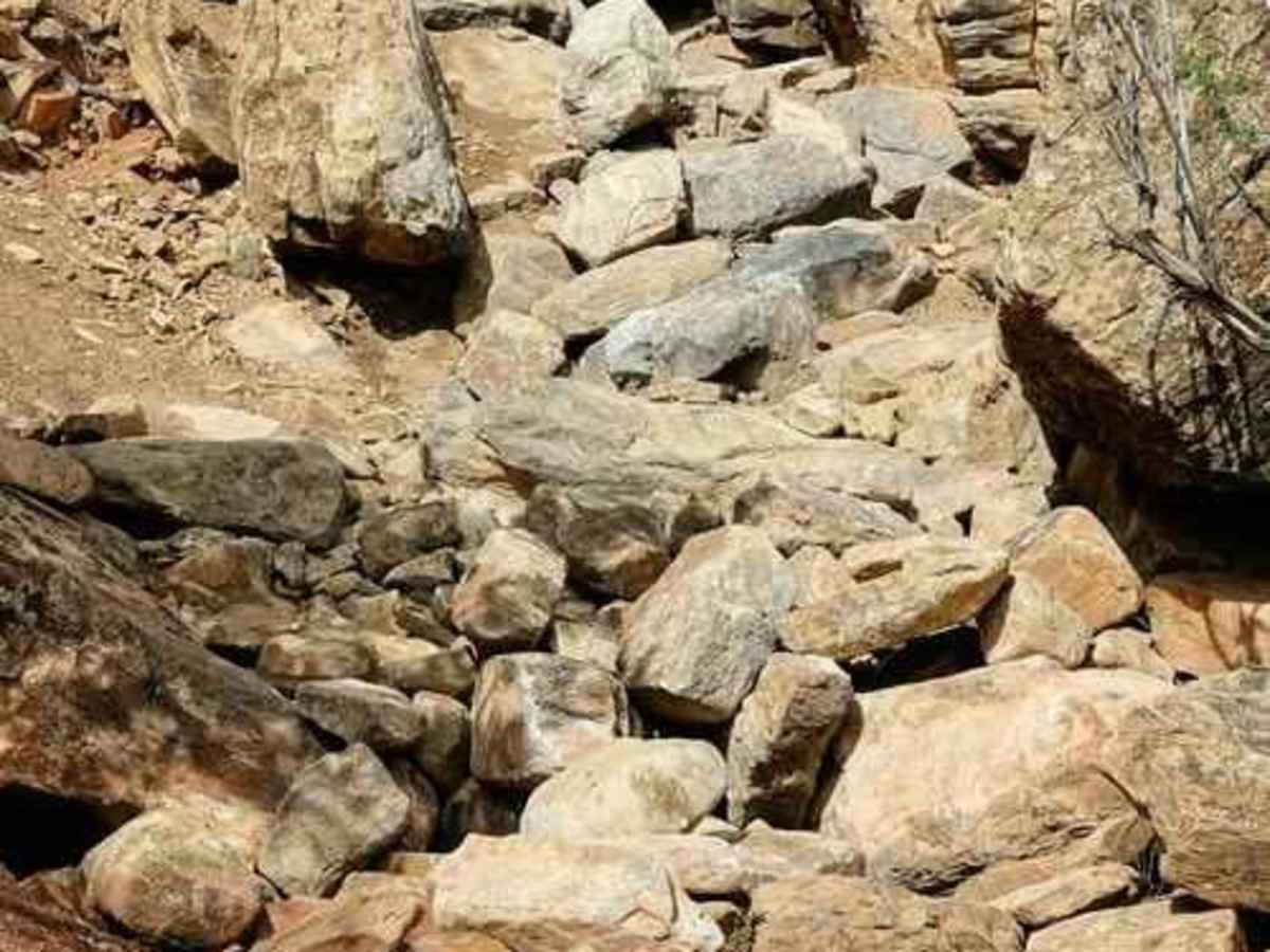
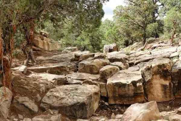
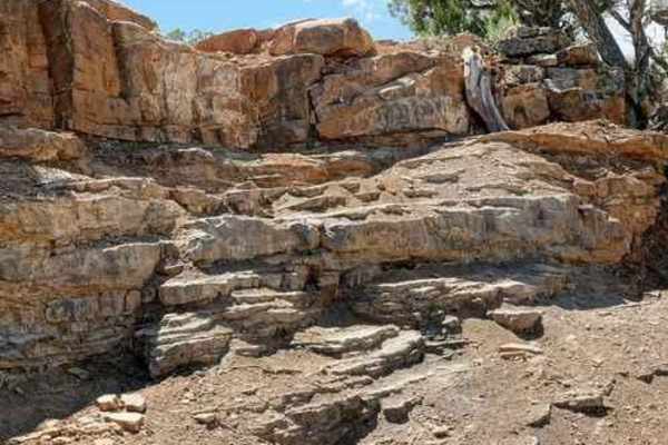
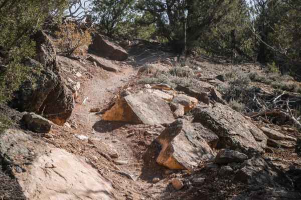
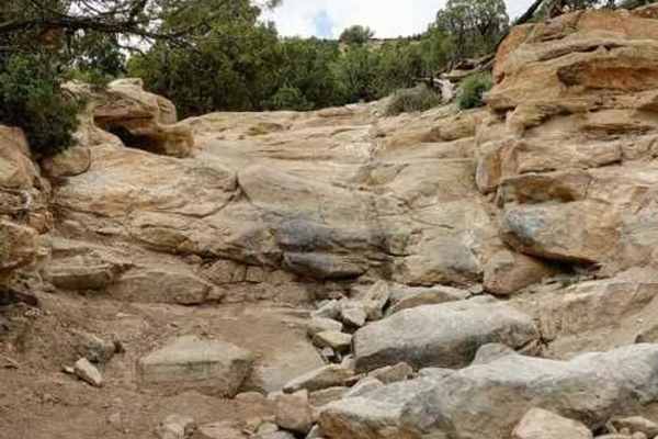
Death Row is an extreme, short-distance rock crawling trail near Montrose, Colorado, designed strictly for highly modified, purpose-built rock crawlers looking to test the limits of their rigs. Stretching approximately a quarter-mile with 230 feet of rapid elevation gain, this technical rating 10 route begins with a right-hand turn off the Topless trail, about a half-mile in. While the first hundred yards present deceptively mild ledges and boulders, the terrain quickly intensifies into a brutal corridor of car-sized boulders and massive, vehicle-swallowing holes. Negotiating this tight, unforgiving canyon requires extreme articulation, massive tires, and front and rear lockers, as there are virtually no alternative lines or bypasses to ease the journey.
The trail demands precise tire placement and experienced spotting as drivers face consecutive, relentless rock obstacles over a 200-yard climb before the route finally levels out. As elevation peaks near 6,770 feet, the trail concludes with a final minor ledge exit that connects to a two-track dirt road, which leads drivers back to Rim Road in about 1.5 miles. Due to the extreme nature of the rocks and potential for severe body damage or rollovers, this trail should only be attempted by fully built four-wheel-drive rigs and high-clearance SxSs. Optimal riding conditions are during the dry spring, summer, and fall seasons, as wet weather makes the steep rock faces and tight boulder fields incredibly slick and dangerous.