Trail Overview
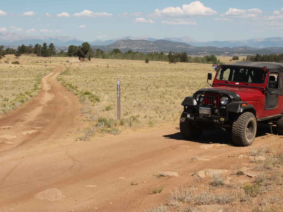
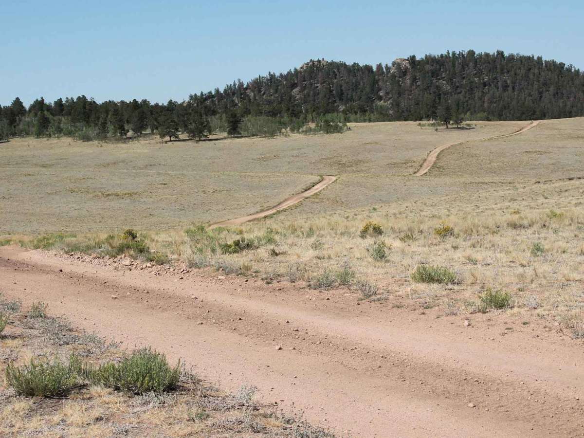
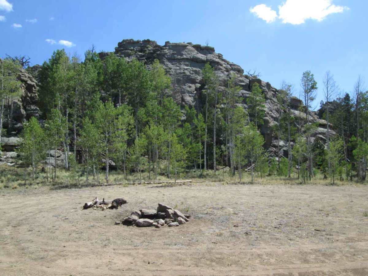
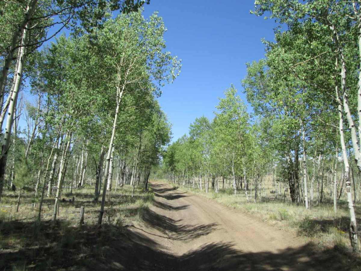
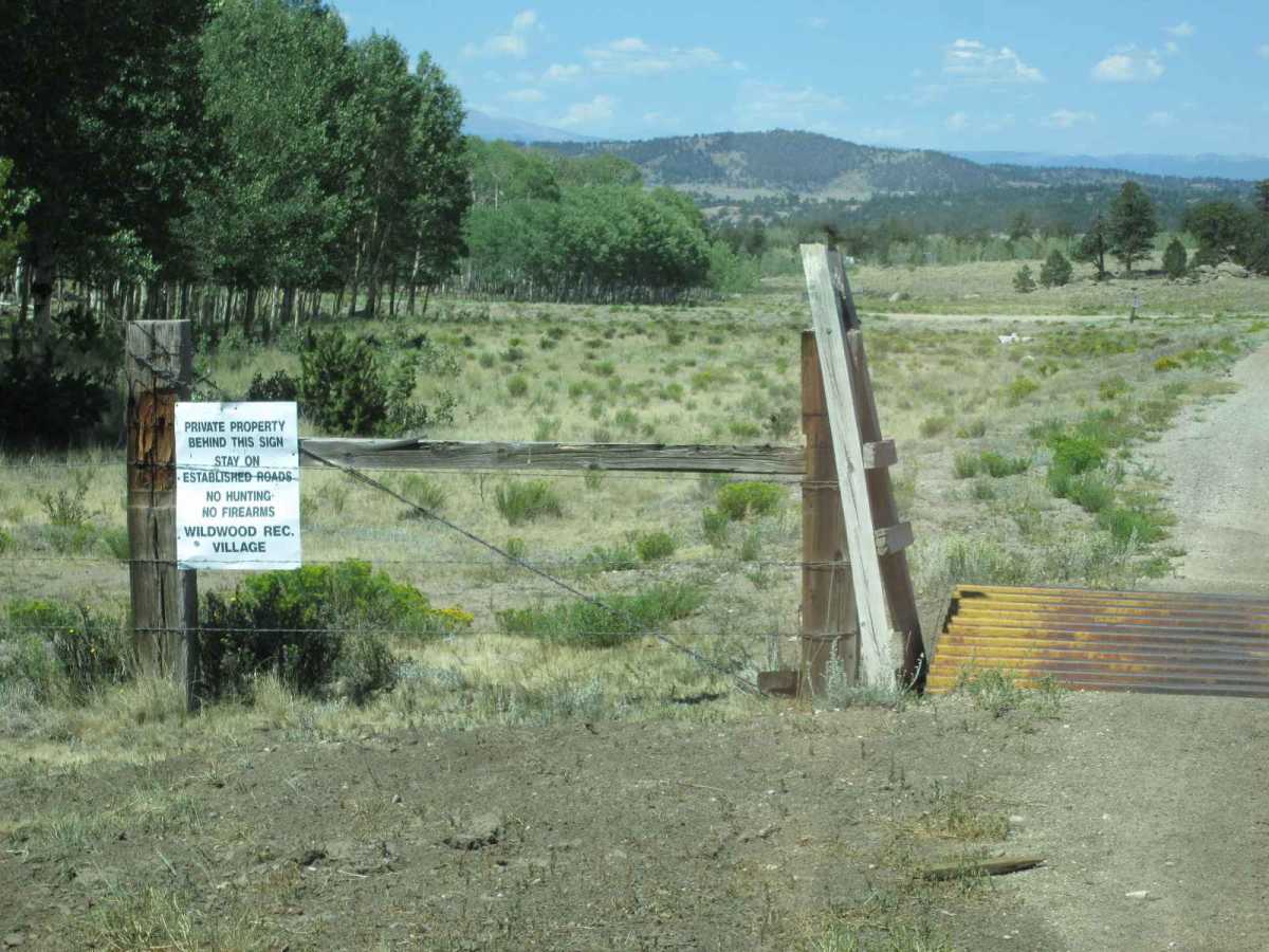
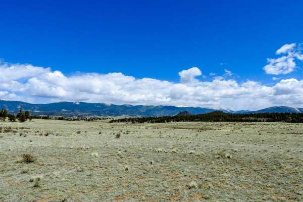
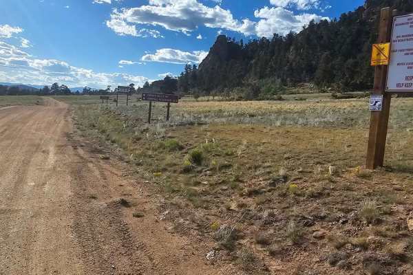
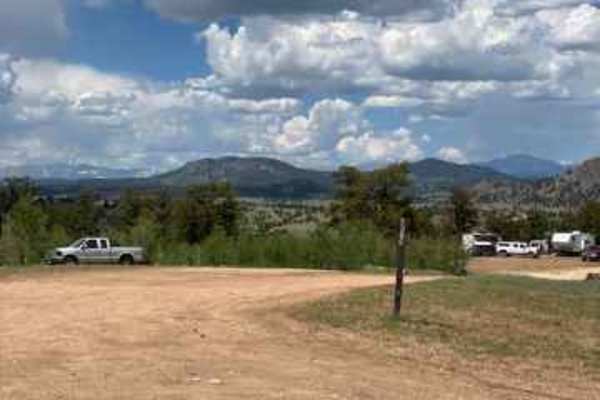
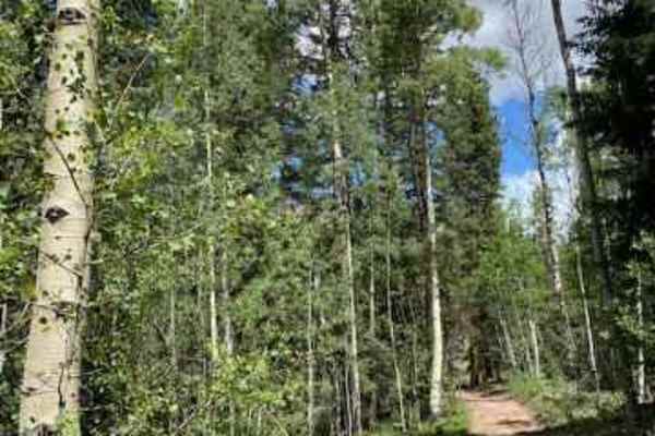
The Steele Road leaves County Road 23 at its north end and crosses an open area of rolling hills with distant views of the Mosquito Mountain Range to the west. The road is a two-track natural surface, mainly dirt, with a few scattered rocks in the road. Cell service is limited along the route. In the middle of the route, you will enter a shallow, wide valley with four dispersed campsites among the pines and rocky hills. There are two intersections: one with FS 238B, which continues 0.5 miles to the forest boundary, and another with FS 238A, which runs 0.7 miles back to County Road 23, passing three dispersed campsites. The southern dispersed campsite sits up a small rise in an open area bordered by a rock ridge. At the eastern end of the ridge, rock climbers have placed anchors up a 50-foot wall for climbing. Beyond this campsite, the road heads west through a small grove of aspen to the end of the public lands and the beginning of private property.