Trail Overview
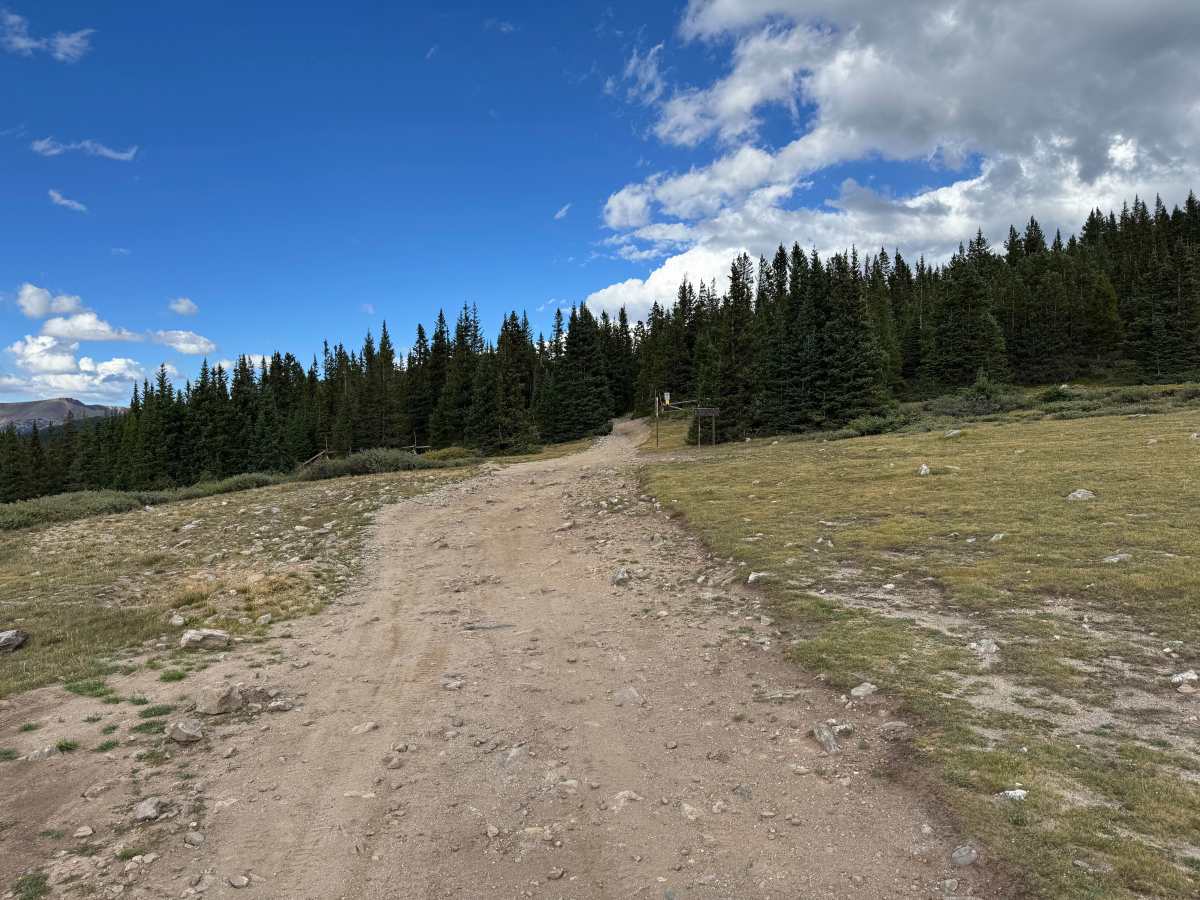
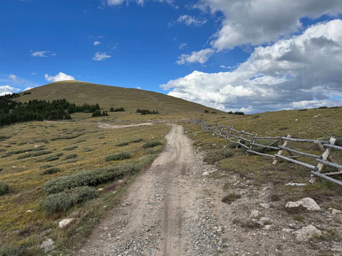
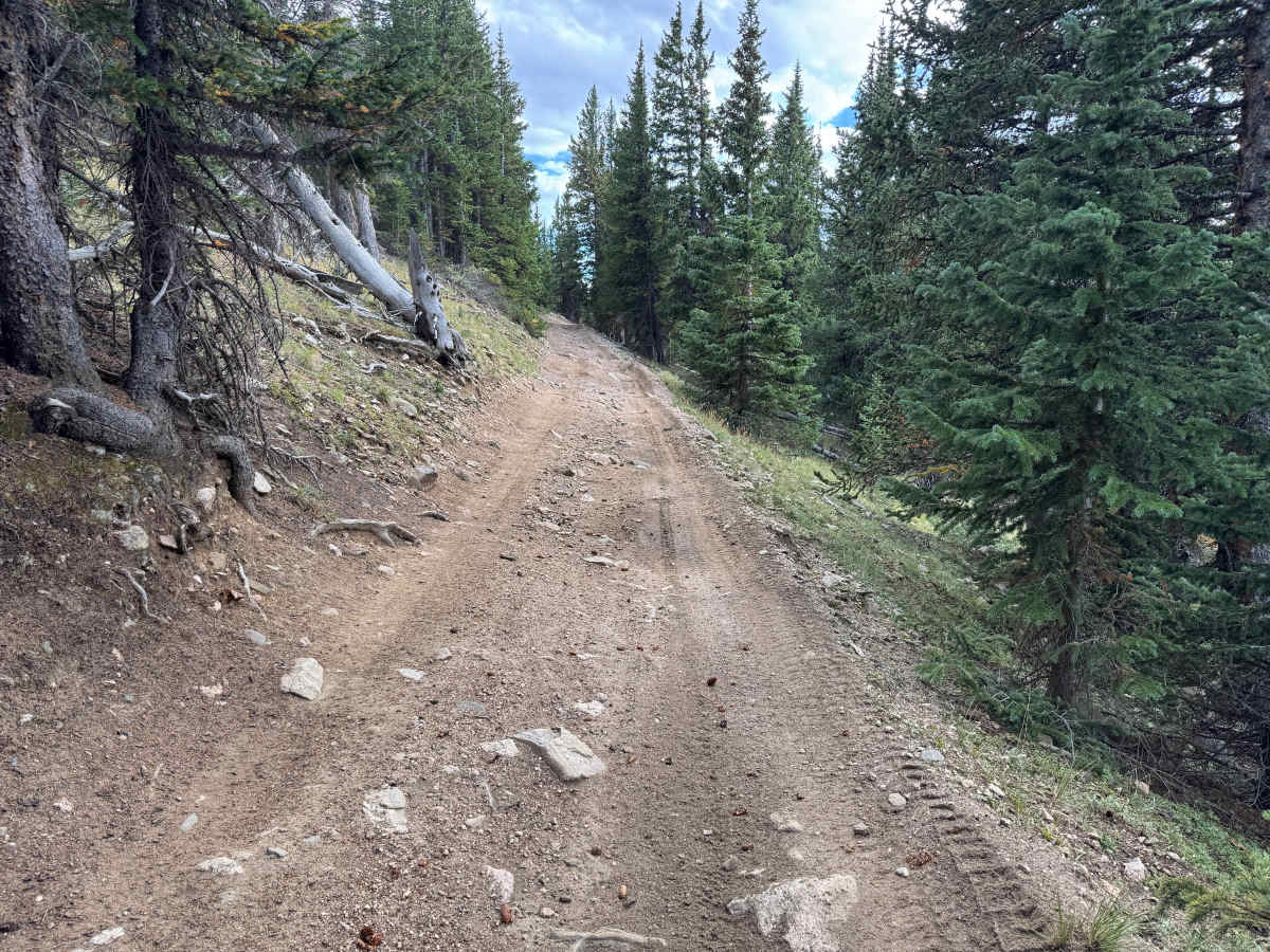
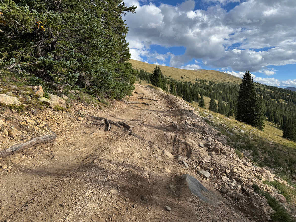
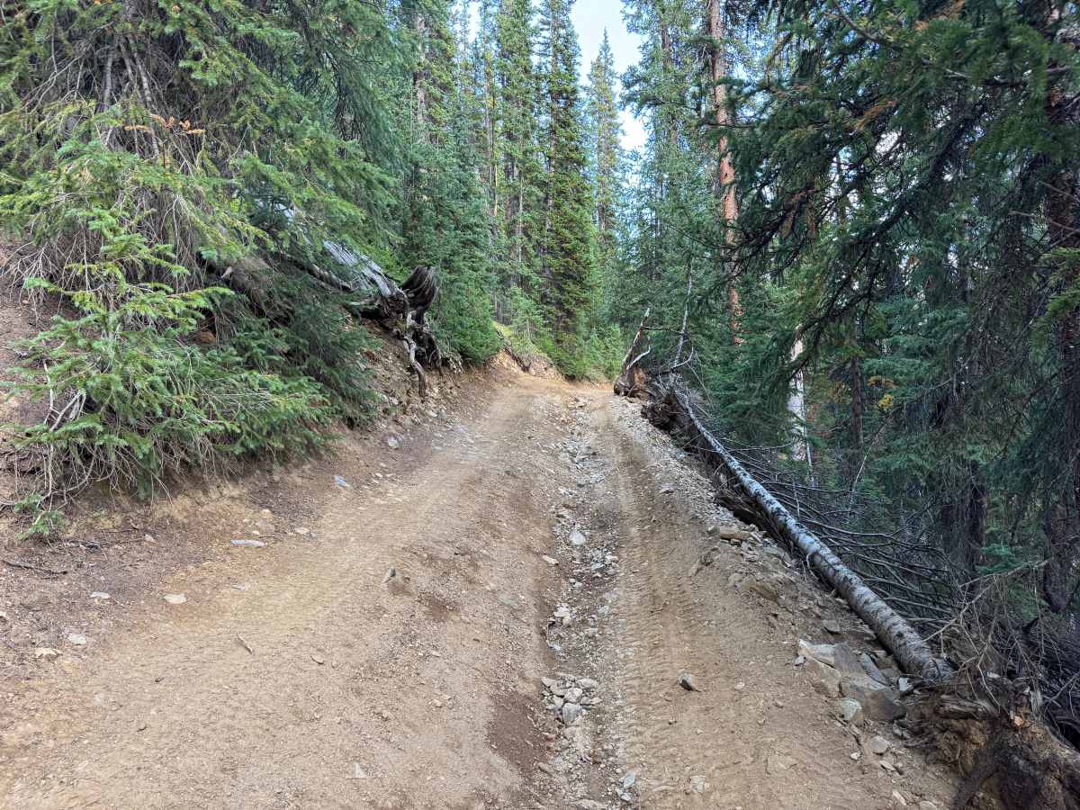
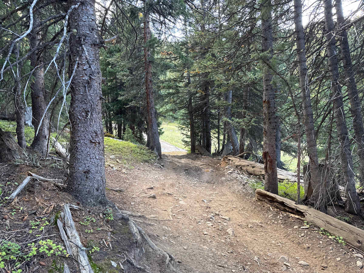
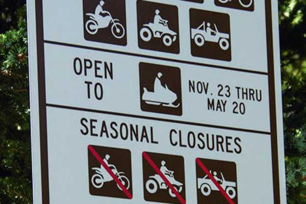
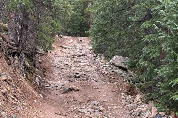
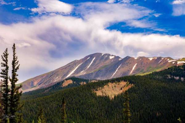
This through route climbs from the forested mountainside toward the Continental Divide, eventually reaching elevations above 11,600 feet. The surroundings change considerably along the way, beginning in dense spruce and fir forest before transitioning into open alpine terrain with grasses, low vegetation, and expansive mountain views. The surface ranges from packed dirt to loose rock, embedded stone, exposed roots, and heavily eroded rocky sections. A large boulder field creates the route's primary challenge and offers multiple line options, with one line generally better suited for longer-wheelbase vehicles and another providing a better approach for shorter-wheelbase vehicles. Higher along the route, the trees give way to open tundra with impressive views across South Park, the surrounding Continental Divide, and portions of the White River National Forest. Lower forested sections also include flowing water and wet drainage areas surrounded by thicker vegetation. Seasonal motorized access is designated from May 21 through November 22. Actual opening and accessibility may vary due to snow, downed trees, and other conditions.
Difficulty
The route includes steep grades, deep erosion, exposed roots, loose and embedded rock, water crossings, and heavily rutted sections. The primary obstacle is a steep boulder field with rocks and ledges reaching approximately 24 to 30 inches, requiring careful tire placement and significant suspension articulation. Multiple lines are available, with options better suited for different wheelbase lengths. Tight sections between trees create additional challenges for longer-wheelbase and wider vehicles, with limited room to maneuver and the potential for body damage.
History
The Breckenridge area was heavily shaped by the Colorado Gold Rush beginning in 1859, when gold discoveries brought prospectors into the Blue River and surrounding gulches. French Gulch, Georgia Gulch, the Swan River, and nearby mountains became important mining areas containing placer operations, hard-rock mines, settlements, and eventually large dredging operations. Several settlements once existed throughout this backcountry. Lincoln City developed in French Gulch, where placer claims and later hard-rock mines operated, while Parkville developed near Georgia Gulch and briefly served as the first county seat of Summit County. Hydraulic mining later buried the remains of Parkville beneath mining debris. Many of the roads traveled through the area today follow corridors originally used to reach mines, settlements, and other operations that supported Summit County's mining industry.