Trail Overview
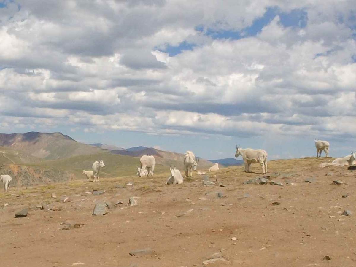
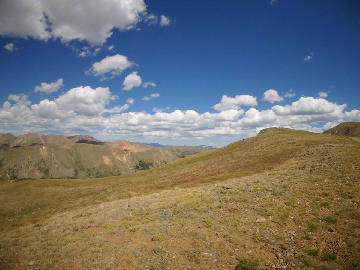
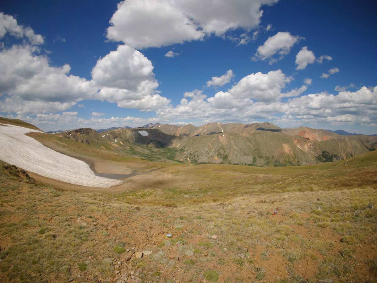
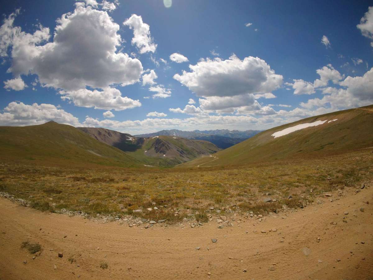
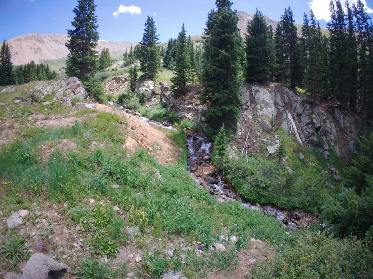
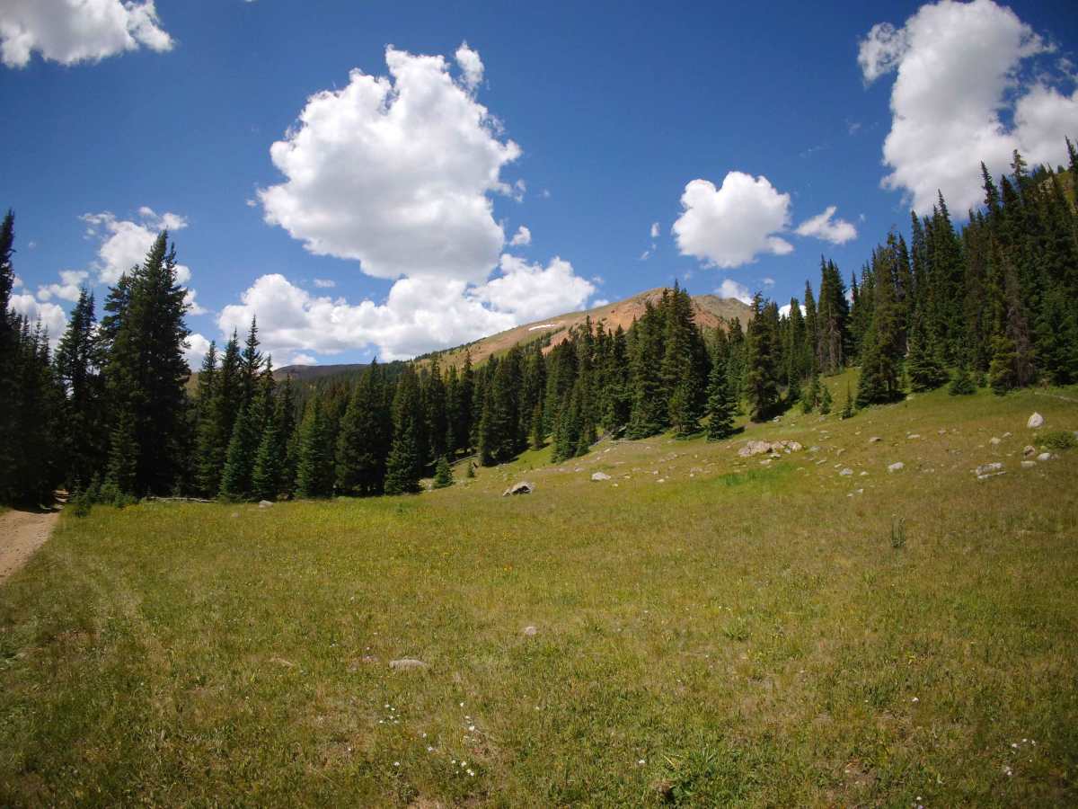
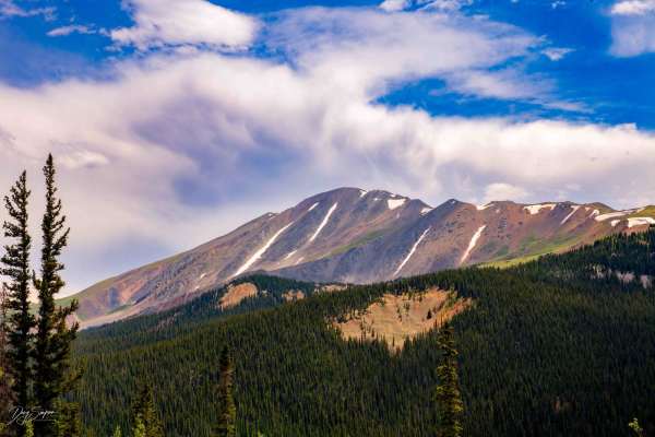
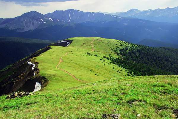
Middle Swan Road is the southern and more difficult of the two Swan Roads, which lead from Tiger Road in Breckenridge up the divide between Breckenridge and Keystone (Montezuma). At the top, you will have excellent views of many other trails in the area, including Upper Hall Valley (and the mine), Red Cone. You can also see the west and the Breckenridge Ski Resort, as well as Keystone Ski Resort to the East. From the top, you can connect to Deer Creek or St John's to go down to Montezuma or go back to almost where you started via North Swan. While not overly difficult, there is one obstacle near the top that can be very difficult. An unauthorized bypass now makes this somewhat easier, but it is still challenging. The bypass in its current form has made this significantly easier as the original trail has deteriorated to a level that would require an extremely modified vehicle. And the final stretch is a narrow shelf road, which is not difficult. There are several historic mining cabins visible from the road, and additional mining sites to be found on the map by walking off the road. There are two dead-end spurs that will allow you to explore additional mines. During the late summer, the non-native mountain goats frequent these ridgelines. Most people come up here for the surrounding views of nearly all the high peaks of the 10 Mile range or to see the goats, since they can be very reliably found here or on one of the connected trail peaks.
Difficulty
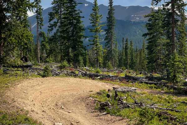
The trail begins fairly mild, but it becomes increasingly steep and rocky after the turn off for Glacier Ridge Road. As you approach the tree line, there is a very difficult rock obstacle; however, there is a less difficult, but still challenging one. These obstacles require the 6 rating, but if not for them, it would be a 4. As you approach the summit, you will follow a narrow and rocky shelf road for almost a mile. There are several small creek crossings; however, none of them is deep.
History
As you near the treeline, the trail will go to the right (clearly signed). Swandyke Road to the left will take you to what remains of the Swandyke ghost town. Like all trails in this area, this served the numerous mines of around Breckenridge.