Tiffany Smith
Nov 02, 2025
2022 Ford Bronco
Temporarily Closed
Seasonal Closure
BRAD Clayton
Oct 22, 2025
2024 INEOS Grenadier
Open
Snow/IceRough/Deteriorated
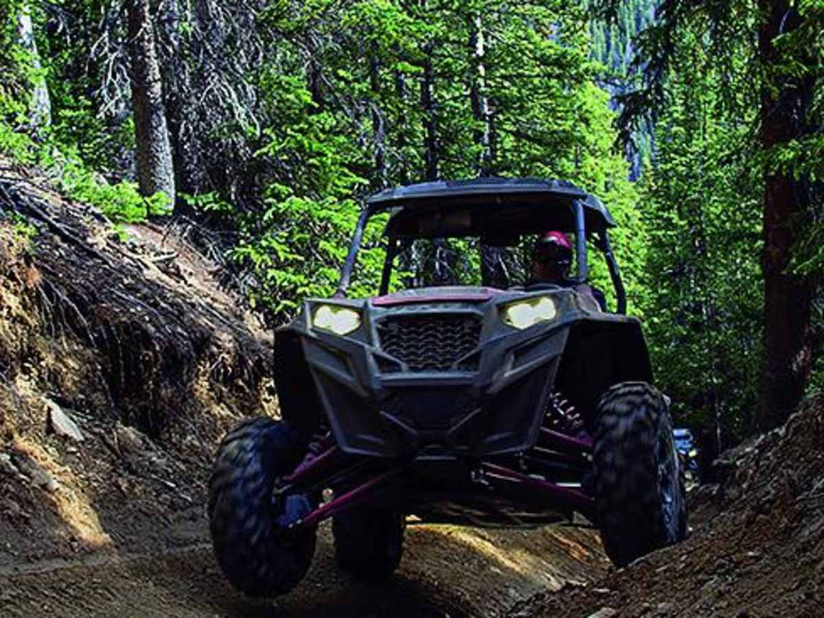
West to east, the steep uphill in the trees had 4” of snow and some ice . A SxS had gone up. We made it up in low with front and rear lockers locked. After that it was normal, with some steep rocky climbs. Went down Deer Creek, which was simple.
Josh Shorley
Oct 13, 2025
Open
Muddy/WetSnow/IceRough/Deteriorated
It was mostly fine. Snow was higher up and without knowing what was coming we turned around.
Sebastien Saramito
Oct 03, 2025
2025 Jeep Wrangler
Open
Normal
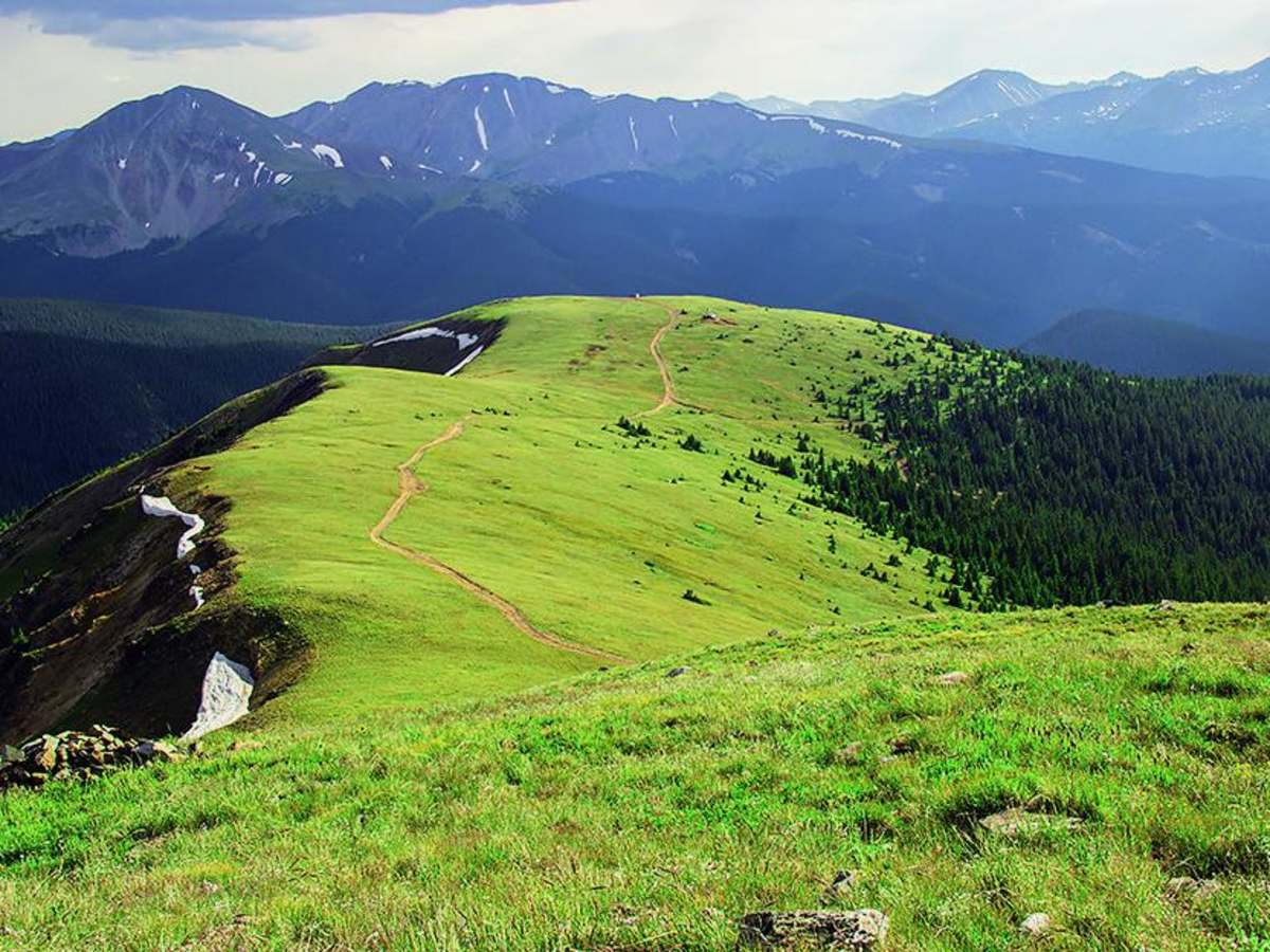
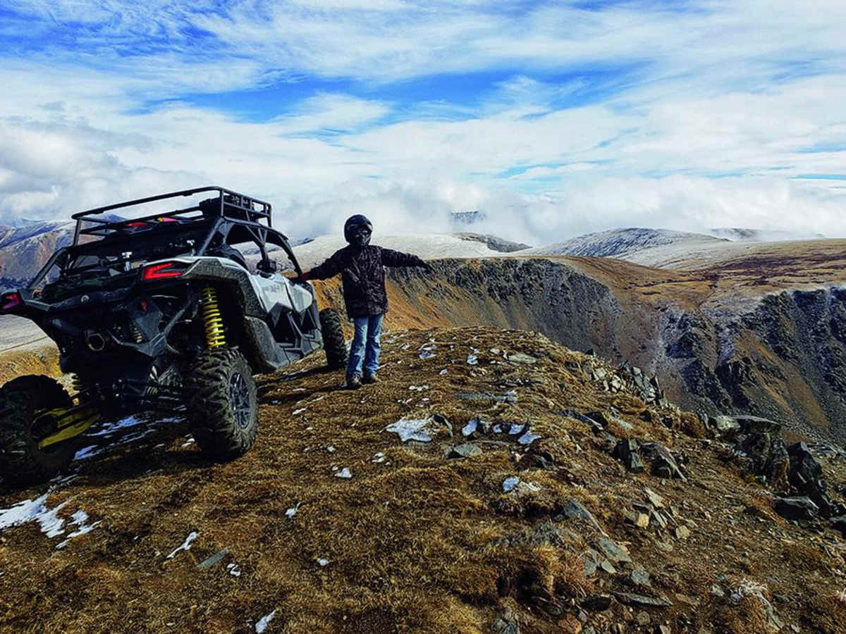
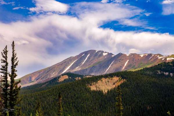
This trail is simply magnificent. The endless climb is done without too much difficulty. The reward is at the top with a breathtaking view.
Boyd Niesen
Sep 27, 2025
Open
Normal
Great trail…would rate as moderate, but worth the ride to incredible views at the top and multiple trail options to choose from to complete loop
Jack R
Jun 21, 2025
1995 Land Rover Range Rover
Open
Muddy/WetSnow/Ice
Was barely able to clear the last switchback after Wise Mountain. The ascent is difficult but can be done with plenty of skinny pedal as half of the trail is obstructed with snow. I was able to make it up unlocked but I would recommend lockers for that section. The trail is only doable from Georgia Pass. Both Saint Johns and Deer Creek approaches are blocked with huge snow drifts.
Andrea Young
Jun 18, 2025
2015 Jeep Wrangler
Obstructed
Deep Snow
Deep snow at Wise Mtn last switchback. Last incline had some deep snow drifts on the shelf road that were tough to pass. Has to turn back at Wise Mountain. Great trail can’t wait to try it again in a few weeks after snow melts.
Will DeVoy
May 24, 2025
Temporarily Closed
Seasonal ClosureClosed Gate
The trail looked fine from what I could see but gate was closed still.
Mitch Milaitis
Oct 12, 2024
2019 Toyota Tacoma
Open
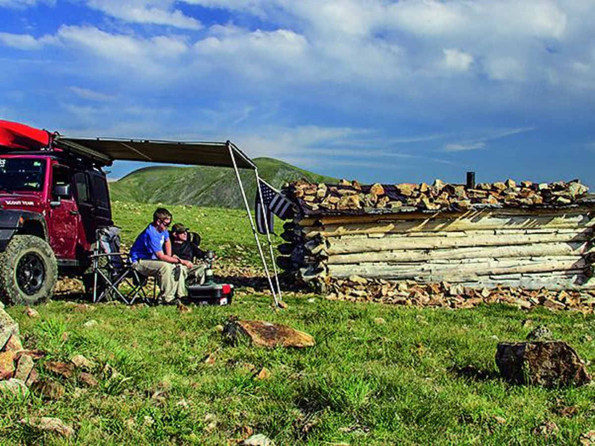
Finished up the circle. Started in Montezuma up Saint Johns then did the North and Middle Fork of the Swan River trail. Large majority of the trail is 4/10. But there are a few sections that are 6/10 and two that don't have an "easy" bypass. Lots of steep climbs, 4-high works, but 4-low makes life easy on the climbs.
I have a '19 Taco on Icon Suspension Stage 10 and 33 KO3s.
I never had issues but did use 4-Low. I may have not needed to, but I never had to try a line twice.
I went clockwise from Saint John's. I think it is near the Missouri gulch area, pretty real section. I went through no issues, but used 4-Low (Admittedly did a pretty good job hitting this line, surprised myself when I made it through first try no issues). Two other cars were there coming down it. 3rd Gen Taco Off Road (Stock except for 275s and rock sliders) used sliders a good bit to get through. 5th Gen 4Runner on 6112s, got his side pretty good (needed sliders).
I did not get any pics of the obstacles... My bad.
Matthew McFarland
Aug 23, 2024
Open
Normal
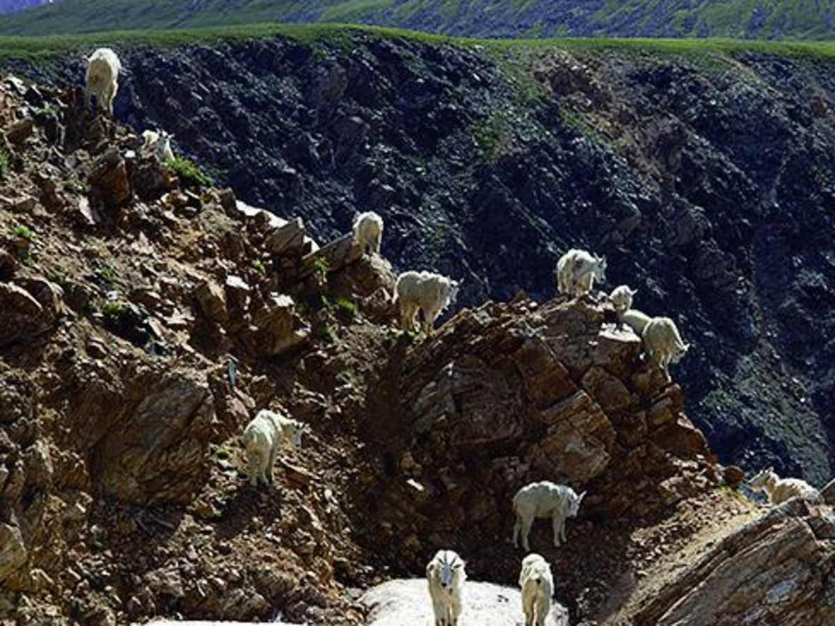
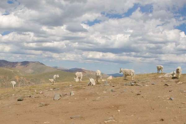
Fun trail, great views. Weather changes very quickly; went from fog and rain to sunny within 20 minutes. You go through a nice lush forest, then go on a ridge, then back through the forest. We saw a few elk or deer, no mountain goats. A few sus
A W
Aug 10, 2024
2017 Arctic Cat HDX 700
Open
NormalMuddy/Wet
We did the North Fork up to Wise Mountain in a stock six man Arctic Cat UTV (i.e. not a lot of clearance compared to some of the RZRs). Had it in four wheel drive low full throttle for the part after Garibaldi Gulch. Engine struggled I think because of the altitude - but we made it! Did not try crossing over to Deer Creek or coming down the South Fork. Just turned around and went back.
Paul Roebuck
Aug 09, 2024
Open
Great trail with awesome views. Few tight areas between trees but overall open. It does require high ground clearance in a few areas. One area going up has a few small areas of rock crawling that does require some skill. The rain started about 1/3 of the way in and made it more challenging but overall was a great ride. Give yourself time, it will take a couple hours. We ran across 5 Jeeps ahead of us and 1 Jeep and 1 motorcycle coming at us.
Daniel Mullins
Jul 29, 2024
2021 RAM 1500
Open
NormalDusty
Morgen Mcguire
Jul 16, 2024
Open
Muddy/Wet
Trail was wet and slippery on our descent from Saint John’s. Wouldn’t recommend for 4x4 1/2 ton vehicle but we did it…
Joshua Bartels
Jun 21, 2024
Temporarily Closed
Closed Gate
Still deep snow on the Breckenridge side of Georgia Pass.