Trail Overview
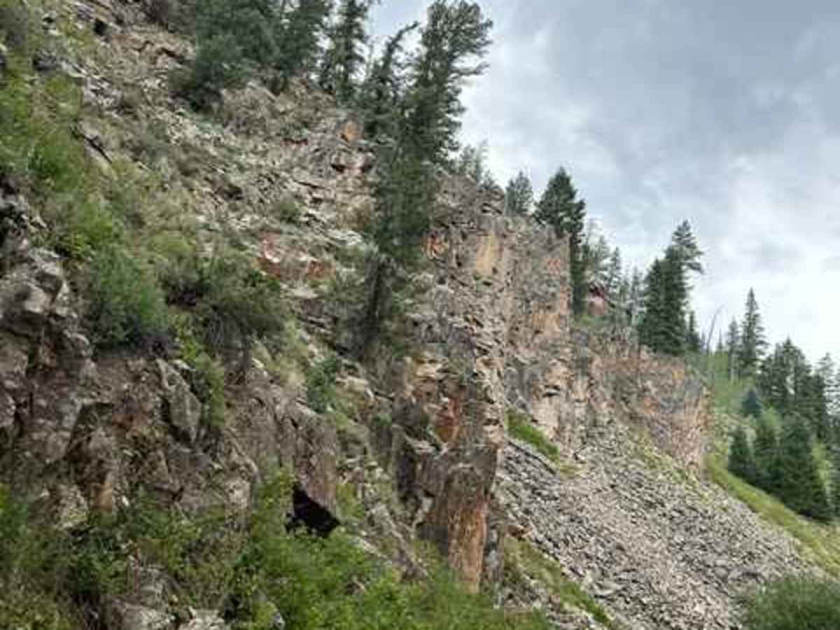
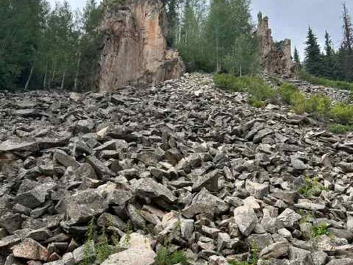
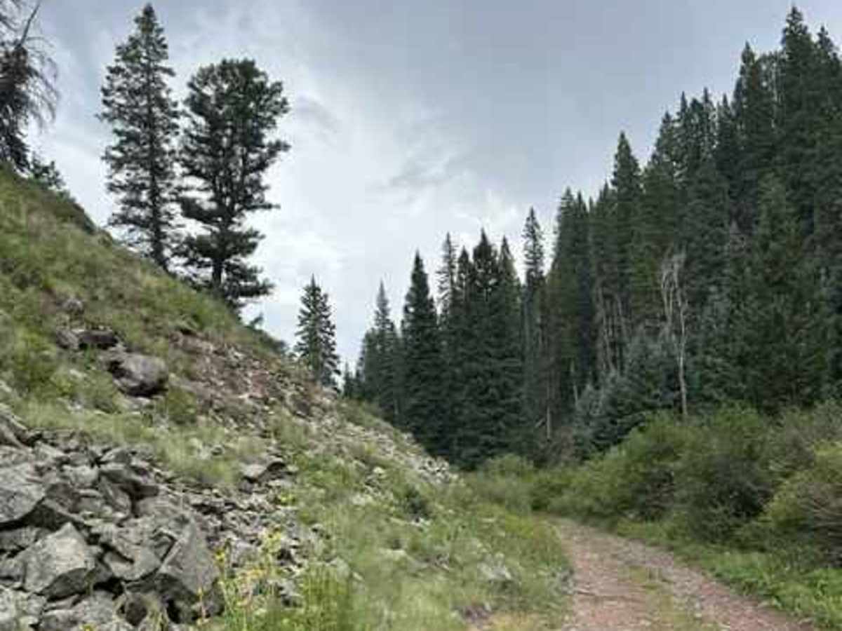
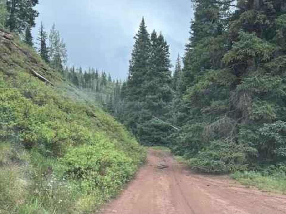
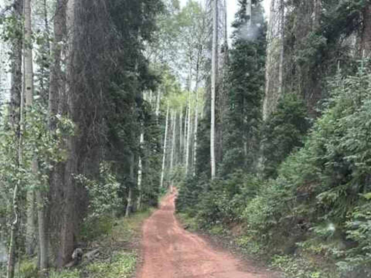
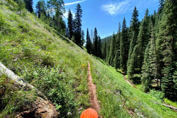
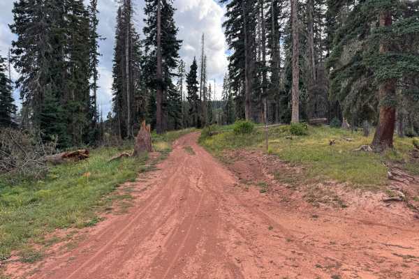
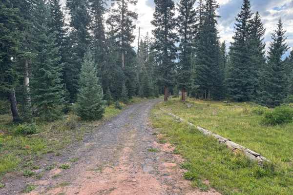
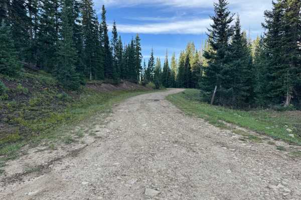
This trail starts as a narrow canyon and is overgrown, so expect some Colorado pinstriping for the first 3 miles, and it is rocky with few turnouts to pass oncoming traffic. There are some scenic cliffs as you start up the canyon, and as you progress further up the canyon opens up, and the trail turns to dirt. As you climb up out of the canyon, you will have a few challenging places that make the trail interesting without being too difficult. Once you get to the intersection of 550 and 564 (Divide Road), the road gets easier on out to East Bolam Road FS 578. Full-size trucks can do this road, but it is tight.
Difficulty
A few rock obstacles of medium difficulty. The trail can be done in a full-size truck, but the bushes have overgrown the trail, except for scratching the sides of all vehicles.
History
This route follows the historic Scotch Creek Toll Road, also associated with the earlier Pinkerton Trail, which provided one of Rico's most important transportation links before the arrival of the railroad. By 1881, the route between the Animas Valley and Rico was developed enough to carry freight, mining equipment, ore, mail, and travelers across the mountains. Heavy freight over the route was difficult and slow, but the road provided Rico's growing mining district with a vital connection to the railroad at Rockwood and the Animas Valley. The Scotch Creek route declined rapidly after the Rio Grande Southern Railroad reached Rico in 1891, eliminating much of the need for wagon freight over the mountains. Portions of the historic transportation corridor remain in use today as Forest Service roads, preserving a route that played an important role in the development of Rico and its surrounding mines.